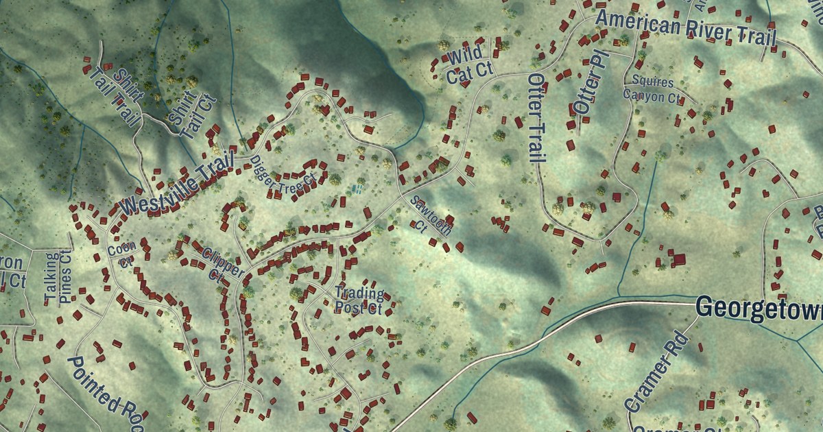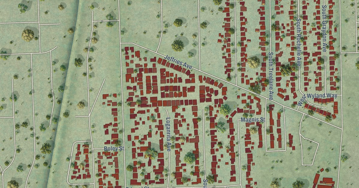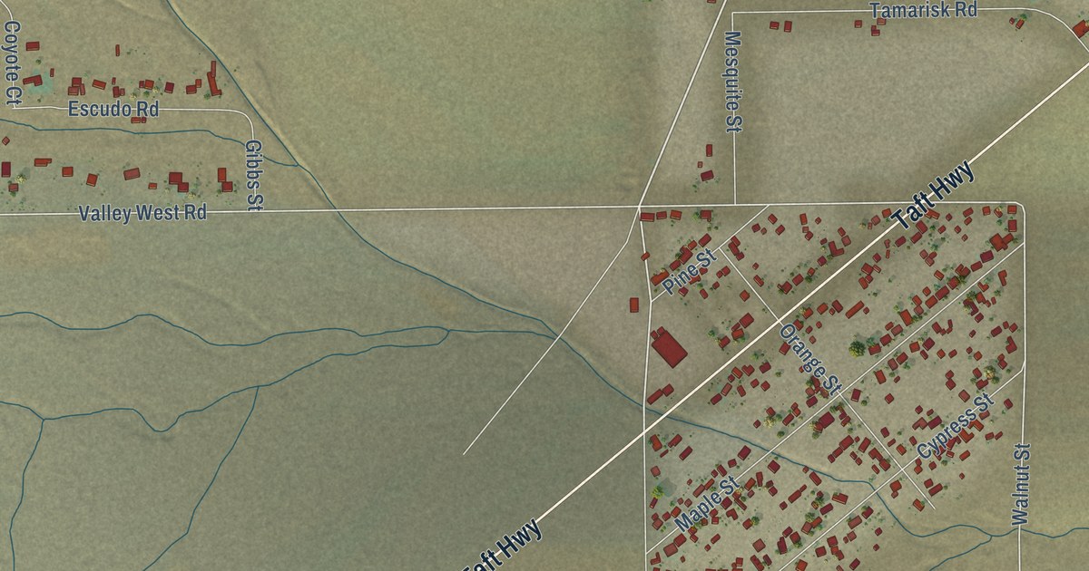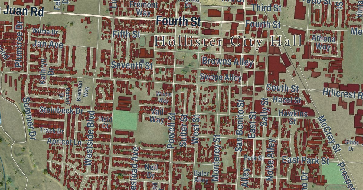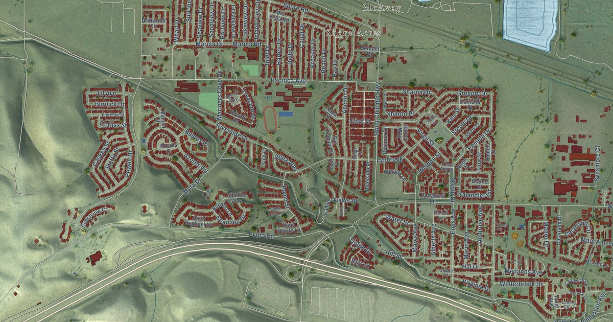
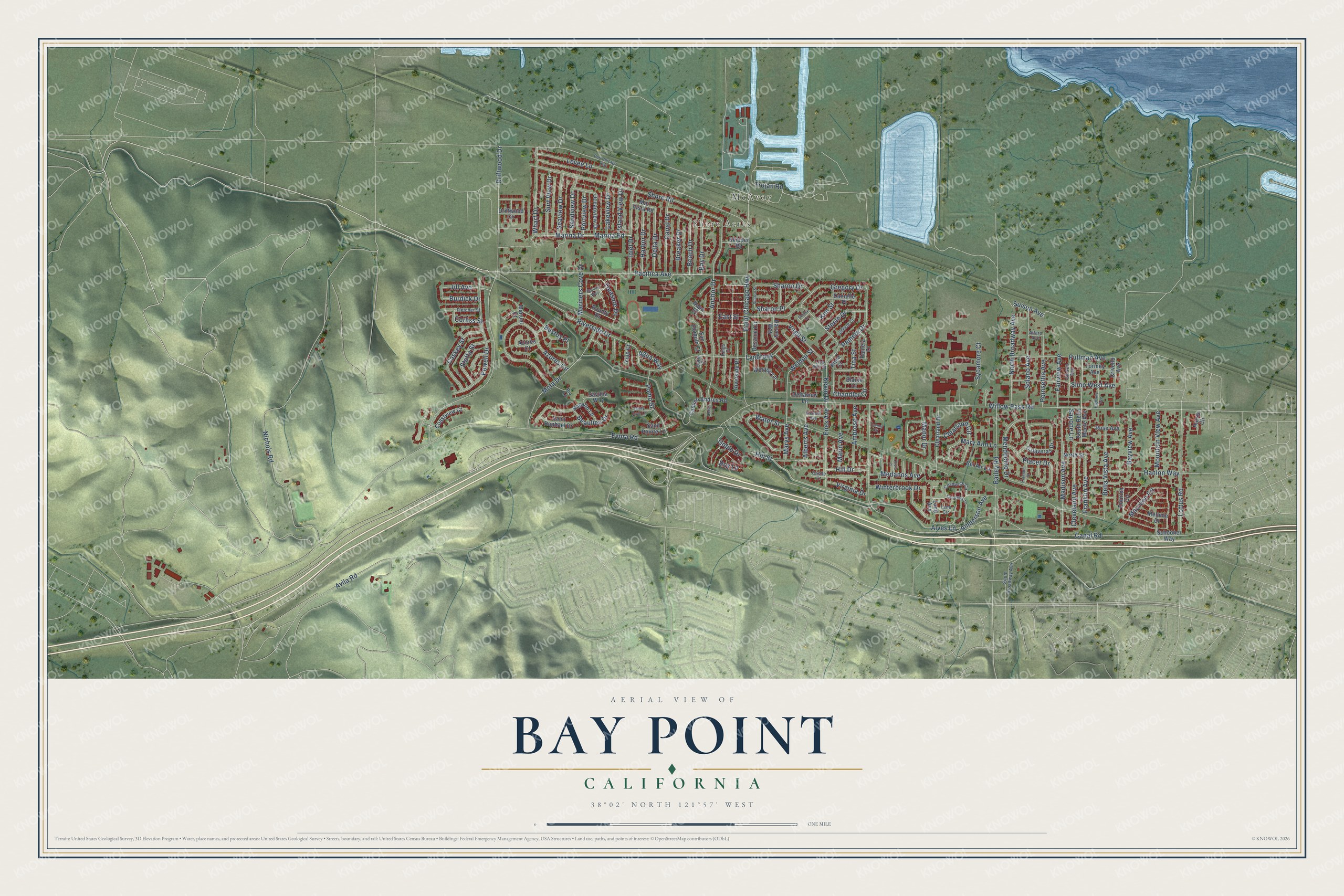
This beautifully detailed map of Bay Point, California was created in 2026 using aerial imagery combined with modern topographical, census, street and landmark data. It’s a one-of-a-kind view of Bay Point that combines accurate data with a vintage aesthetic. The map shows every building in its true location, many of the roads carry their names, and the shaded topographic relief shows the shape of the land.
Explore an aerial view of Bay Point, California
On the map you’ll find Shore Acres and McAvoy, along with Pacifica Avenue, Point Chicago Highway, Weldon Street, Siino West Avenue, Pullman Avenue, Suisun Avenue, Canal Road, Powell Drive, Franklin Avenue, Placer Drive, and more. If you look closely you can even find your house accurately drawn in its correct location. Zoom in on the preview to look for yours.
Did you know this piece of Bay Point, California history?
From the Contra Costa County History: "The Bay Point church was built in 1909 by the co-operation of the community, the lumber company, and the Congregational Conference."
Take a closer look at the Bay Point map
Street and place names on the Bay Point, California map
These names are printed on the map of Bay Point, California.
Places: Shore Acres and McAvoy.
Streets and roads: Pacifica Avenue, Point Chicago Highway, Weldon Street, Siino West Avenue, Pullman Avenue, Suisun Avenue, Canal Road, Powell Drive, Franklin Avenue, Placer Drive, Virgil Street, Evora Road.
More street names, A to Z
Agua Way, Alberts Avenue, Alfaro Avenue, Alves Lane, Amberson Avenue, Ambrose Avenue, Anchor Drive, Avila Road, Azores Circle, Azores Court, Bailey Road, Bay Drive, Bayview Avenue, Beach Drive, Beaulieu Drive, Bel Air Lane, Bella Vista Avenue, Blaine Court, Bounty Drive, Bounty Way, Breaker Drive, Burdick Drive, Bustos Place, Butte Court, Calaveras Drive, Camino Andres Road, Canal Drive, Caskey Street, Castle Court, Chadwick Circle, Chadwick Lane, Chandler Circle, Clearland Circle, Clearland Drive, Clement Avenue, Cleveland Avenue, Coastview Court, Corliss Street, Crivello Avenue, Curtis Court, Danielle Place, Delta Drive, Deltaview Lane, Desanie Circle, Dobrich Circle, Driftwood Circle, Driftwood Drive, East Street, Enes Avenue, Fairview Avenue, Fletcher Street, Gibson Avenue, Goble Drive, Gregory Drive, Hanlon Way, Harbor Drive, Harris Circle, Harvey Way, Highway Avenue, Hill Drive, Hill Street, Inlet Drive, Island View Drive, Jill Avenue, Kevin Drive, Kim Street, Kings Court, Klamath Street, Lakeview Drive, Lane Avenue, Lane Circle, Levee Lane, Lisa Ann Street, Loftus Road, Lynbrook, Madison Avenue, Manor Drive, Manuel Court, Marina Drive, Marina Road, Marin Avenue, Mariners Cove Drive, Mar Vista Road, Mary Ann Lane, Marys Avenue, Maureen Circle, Medanos Avenue, Melanie Drive, Mendocino Drive, Mota Drive, Mountain View Avenue, Napa Court, Nichols Road, North Broadway Avenue, North Street, Oceanview Drive, Olivia Court, Pamela Court, Pamela Drive, Poinsettia Avenue, Pomo Street, Port Chicago Highway, Portview Drive, Rapallo Lane, Rhea Court, Rio Lane, Riverside Drive, Riverside Place, Rose Avenue, Roy Lane, Saint Raphael Drive, Sand Pointe Lane, Sandview Drive, Sandy Cove Lane, San Joaquin Court, Sapone Lane, Savona Way, Schooner Way, Seaview Drive, Sharon Drive, Sharon Place, Sharon Street, Shellie Court, Shore Road, Skipper Road, Solano Avenue, South Bella Monte Avenue, South Broadway Avenue, Steele Court, Steele Drive, Steffa Street, Surf View Drive, Sycamore Court, Tammy Circle, Tina Street, Tormey Avenue, Treasure Drive, Trojan Road, Virginia Drive, Water Street, Weldon Lane, Wharf Drive, Willow Pass Road, Winterbrook Drive, Yolo Court.
See the Bay Point, California map on a wall
The Bay Point map as an 18 x 24 inch print in a black frame.

This beautifully detailed map of Bay Point makes an attractive addition to your office, library, or den, and it can even be used to teach children the geography and history of the area. It also makes a great gift for someone who left Bay Point and still calls it home. When you’re done exploring, click here to get your copy of the Bay Point map.