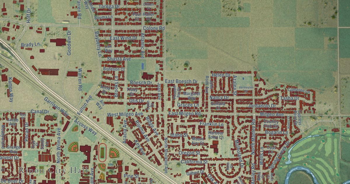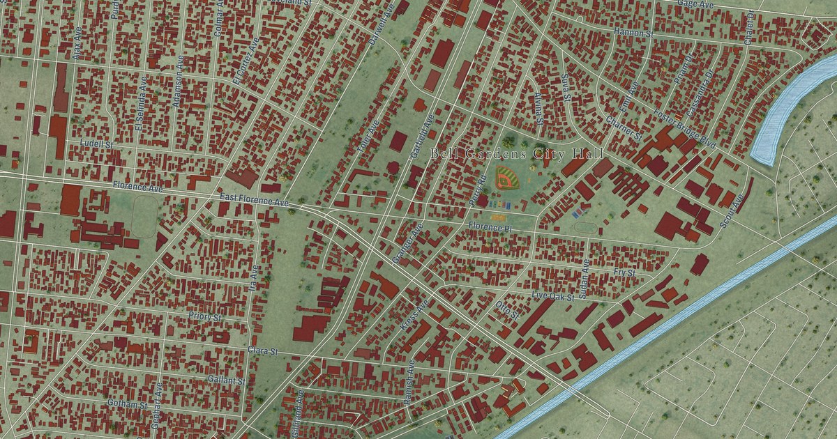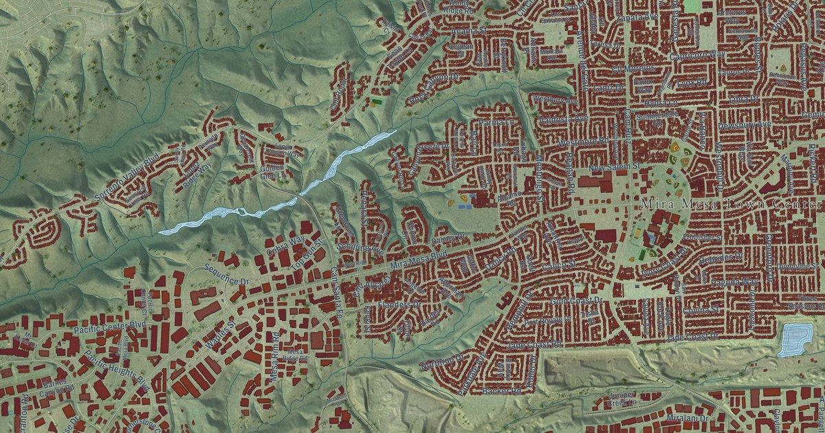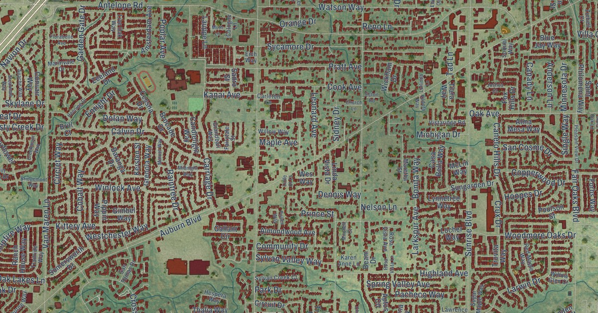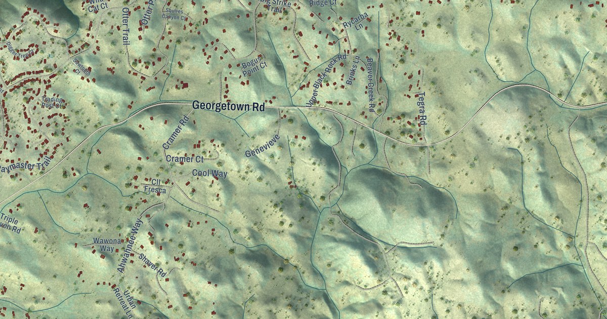
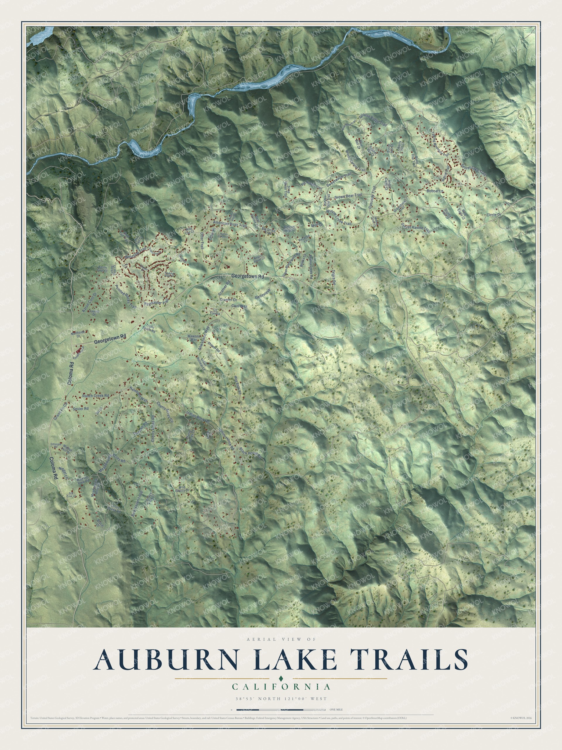
This beautifully detailed map of Auburn Lake Trails, California was created in 2026 using aerial imagery combined with modern topographical, census, street and landmark data. It's a modern aerial view of Auburn Lake Trails in El Dorado County, California, that combines modern data with a vintage aesthetic. The roads feature printed names, and if you look closely you can find your exact house accurately shown in its correct location.
Explore an aerial view of Auburn Lake Trails, California
On this map you'll find Georgetown Road, Coloma Road, Secret Lake Trail, Grouse Ridge Trail, Cramer Road, Indian Rock Road, Sweetwater Trail, Cherry Acres Road, Cascade Trail, American River Trail, Ahwahnee Way, Westville Trail, and more. Each red shape is a building, so zoom in on the preview and look for yours.
Here is a piece of Auburn Lake Trails history. Auburn Lake Trails opened in 1970 as a 3,500 acre Transamerica Corporation land development near Cool. A big selling point was frontage on one arm of the 25 mile long lake planned behind the Auburn Dam, and by 1977 quarter acre lots were selling for 6,500 to 11,000 dollars. That's from the Sacramento State Hornet.
Auburn Lake Trails is a community in El Dorado County. The Census Bureau counted 3,388 people here in 2020.
Take a closer look at the Auburn Lake Trails map
Names on this map
These names are printed on this map.
Streets and roads: Georgetown Road, Coloma Road, Secret Lake Trail, Grouse Ridge Trail, Cramer Road, Indian Rock Road, Sweetwater Trail, Cherry Acres Road, Cascade Trail, American River Trail, Ahwahnee Way, Westville Trail.
More street names, A to Z
Aaron Cool Court, Aaron Cool Drive, Angel Camp Court, Bald Eagle Court, Balloon Ridge Court, Beaver Creek Road, Big Nugget Trail, Big Strike Trail, Bird Haven Loop, Black Horse Road, Blue Bell Court, Bobcat Lane, Bogus Point Court, Bottle Hill Court, Brinks Lane, Brown Bear Trail, Bruce Court, Brushy Canyon Trail, Burnt Flat Trail, Cherry Acres Circle, Cherry Acres Court, Circle Drive, Clipper Court, Cll Fresca, Cool Way, Coon Court, Cramer Court, Cross Creek Road, Deer Ravine Court, Digger Tree Court, Ellinghouse Drive, Genevieve, Gillespie Road, Grand Fir Circle, Greenhorn Trail, Haefen Lane, Hamblen Way, Hidden Gold Trail, Indian Trail, Liberty Hill Court, Majestic View Road, Meadowview Acres Court, Meadowview Acres Road, Muir Court, Niegel Lane, Northside Drive, Otter Place, Otter Trail, Overton Road, Paymaster Trail, Pepper Boy Court, Pointed Rocks Trail, Ranch Creek Road, Rycarba Lane, Sawtooth Court, Secret Ravine Trail, Sevier Road, Shaver Road, Shirt Tail Court, Shirt Tail Trail, Silk Tree Lane, Ski Court, Squires Canyon Court, Stoney Hill Court, Strap Miner Trail, Swamp Angel Court, Talking Mountain Trail, Talking Pines Court, Taurus Drive, Tegra Road, Terrace View Court, Trading Post Court, Triple Seven Road, Upper Black Rock Road, Urban Retreat Lane, Walnut Hill Drive, Wawona Way, Way Back Road, White Horse Road, Wild Cat Court, Wild Cherry Court, Wild West Trail, Willow Creek Court, Willow Creek Trail.
See it on a wall
The Auburn Lake Trails map as a framed print. Swipe for more.


Created by KNOWOL in 2026. The buildings are small red shapes, the roads carry their printed names, and shaded relief shows the shape of the land. The title panel reads "AERIAL VIEW OF AUBURN LAKE TRAILS, CALIFORNIA" with 38°53' NORTH 121°00' WEST.
It suits a den, a classroom or a front hall, and it makes a gift for anyone with Auburn Lake Trails roots. Open the preview and find the block you know. See sizes and frames for the Auburn Lake Trails map.