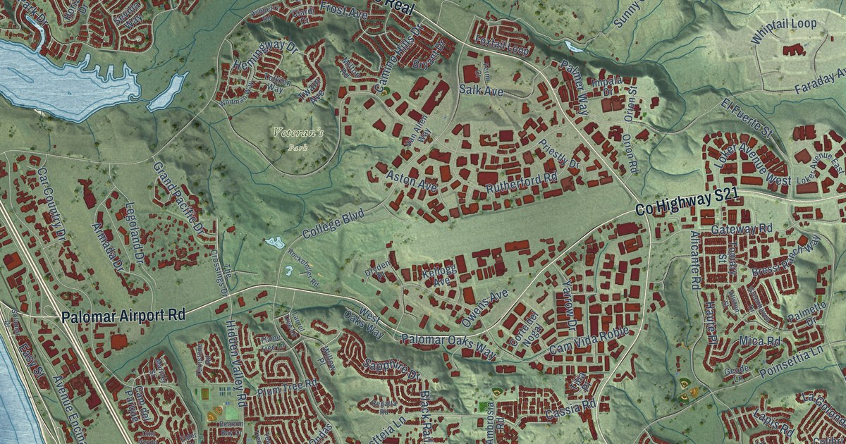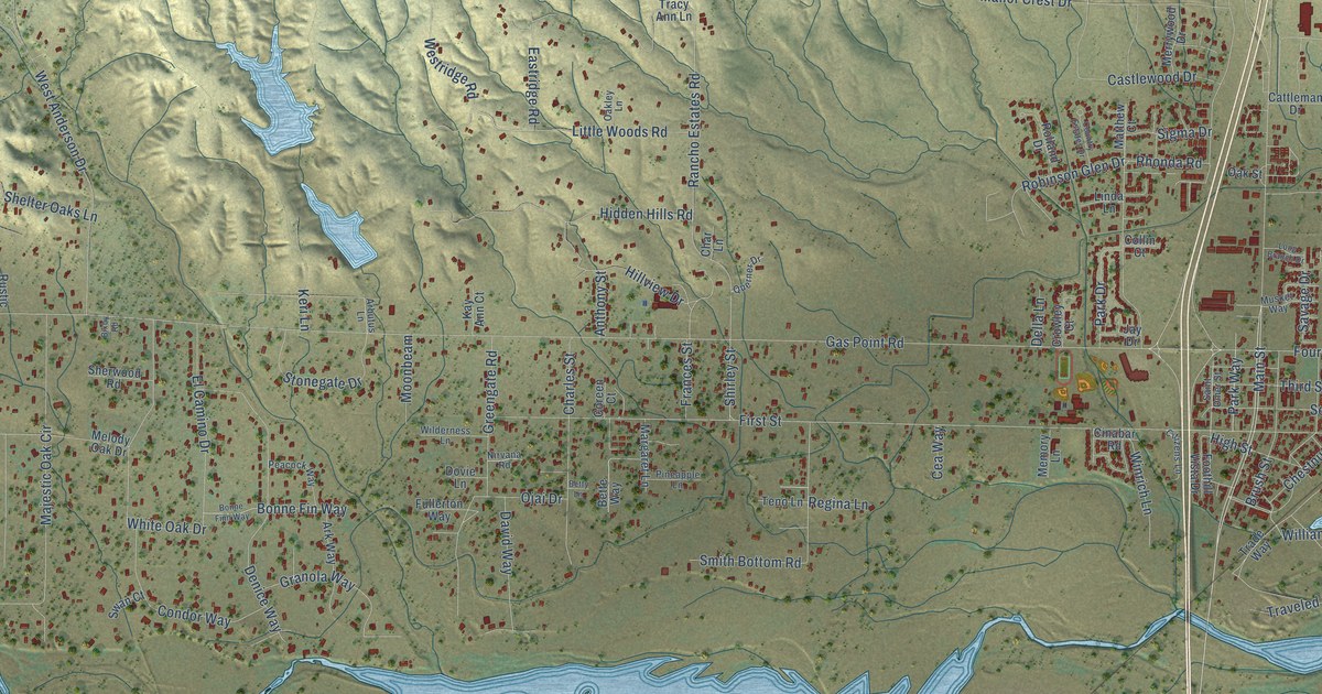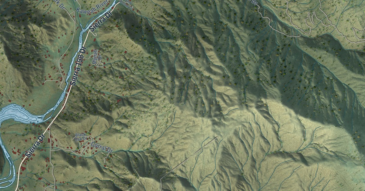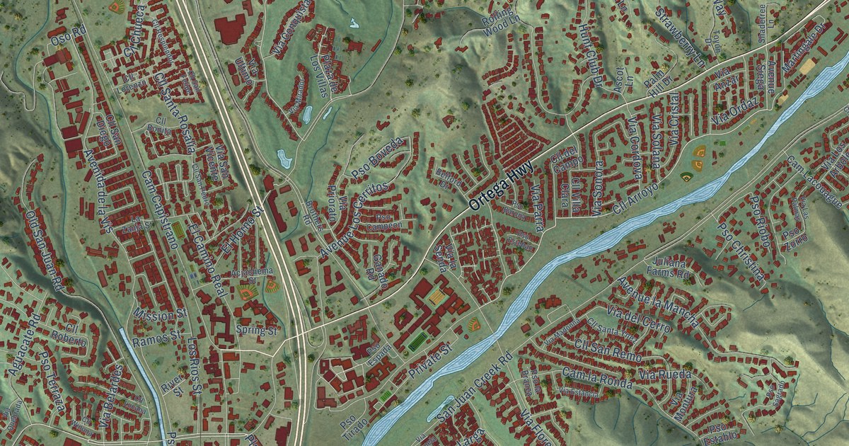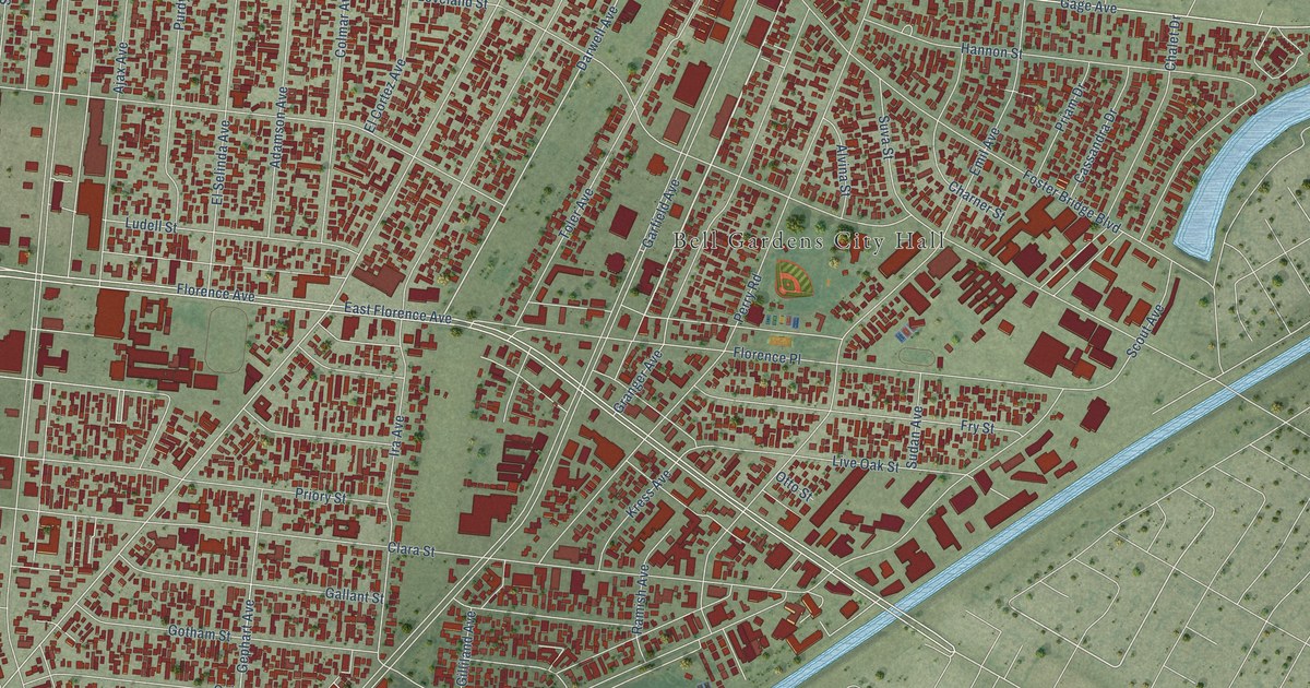
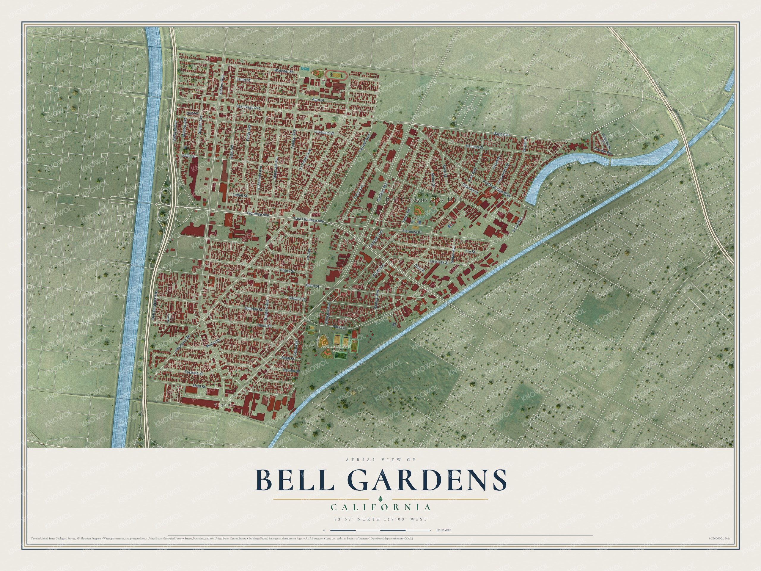
This beautifully detailed map of Bell Gardens, California was created in 2026 using aerial imagery combined with modern topographical, census, street and landmark data. It's a modern aerial view of Bell Gardens in Los Angeles County, California, that combines modern data with a vintage aesthetic. The roads feature printed names, and if you look closely you can find your exact house accurately shown in its correct location.
Explore an aerial view of Bell Gardens, California
On this map you'll find Bell Gardens City Hall, John Anson Ford Park, Vinvale, East Gage Avenue, Live Oak Street, Darwell Avenue, Watcher Street, Florence Avenue, Jaboneria Road, Scout Avenue, Gage Avenue, Fostoria Street, and more. Each red shape is a building, so zoom in on the preview and look for yours.
Here is a piece of Bell Gardens history, in the words of the record. The record at ohp.parks.ca.gov puts it this way: "Contained within this building are the remaining portions of an adobe house built by Francisco Salvador Lugo and his son Antonio María Lugo."
Bell Gardens is a city in Los Angeles County. The Census Bureau counted 39,501 people here in 2020.
Take a closer look at the Bell Gardens map
Names on this map
These names are printed on this map.
Places: Bell Gardens City Hall, John Anson Ford Park and Vinvale.
Streets and roads: East Gage Avenue, Live Oak Street, Darwell Avenue, Watcher Street, Florence Avenue, Jaboneria Road, Scout Avenue, Gage Avenue, Fostoria Street, Garfield Avenue, Eastern Avenue, East Florence Avenue.
More street names, A to Z
Adamson Avenue, Agra Street, Ajax Avenue, Alvina Street, Bell Gardens Avenue, Buell Street, Cassandra Drive, Cecilia Street, Chalet Drive, Charner Street, Clara Street, Colmar Avenue, El Cortez Avenue, El Selinda Avenue, Emil Avenue, Felix Avenue, Florence Place, Foster Bridge Boulevard, Fry Street, Gallant Street, Gephart Avenue, Gilliland Avenue, Gotham Street, Granger Avenue, Greenwood Avenue, Hannon Street, Ira Avenue, Kress Avenue, Lanto Street, Loveland Street, Lubec Street, Ludell Street, Lynda Lane, Marlow Avenue, Muller Street, Otto Street, Park Lane, Perry Road, Priam Drive, Priory Street, Pso del Rio, Purdy Avenue, Quinn Street, Ramish Avenue, Selfland Avenue, Shull Street, Specht Avenue, Sudan Avenue, Sun Lane, Suva Street, Toler Avenue.
Created by KNOWOL in 2026. The buildings are small red shapes, the roads carry their printed names, and shaded relief shows the shape of the land. The title panel reads "AERIAL VIEW OF BELL GARDENS CALIFORNIA" with 33°58' NORTH 118°09' WEST.
It suits a den, a classroom or a front hall, and it makes a gift for anyone with Bell Gardens roots. Open the preview and find the block you know. See sizes and frames for the Bell Gardens map.