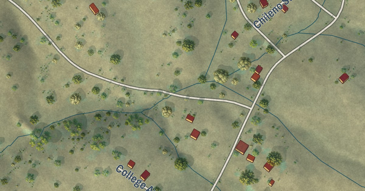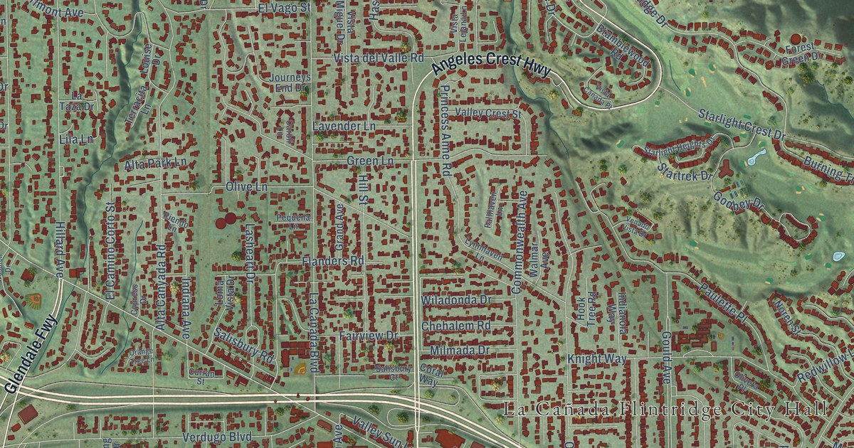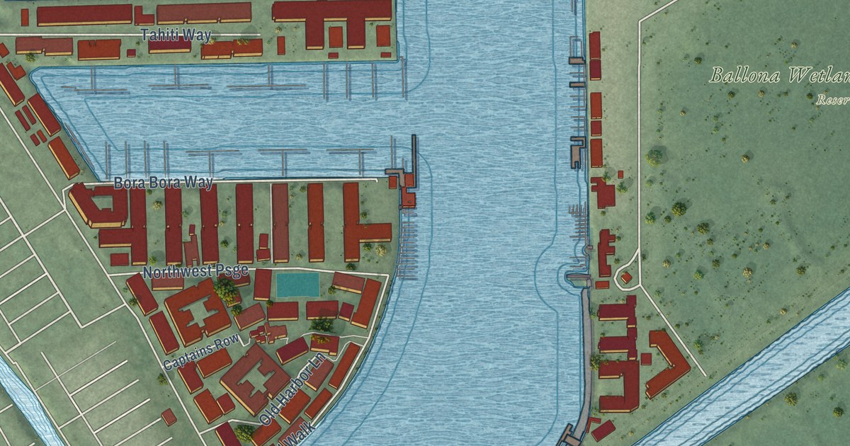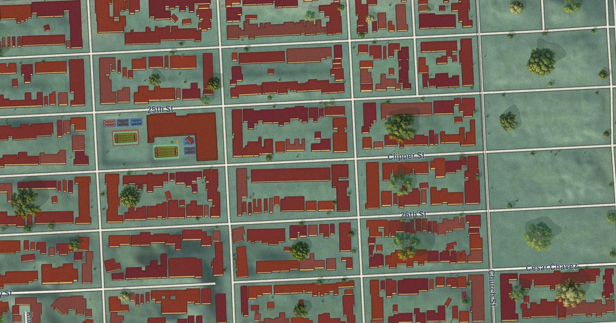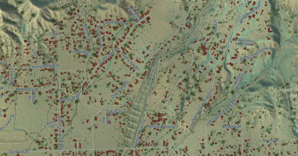
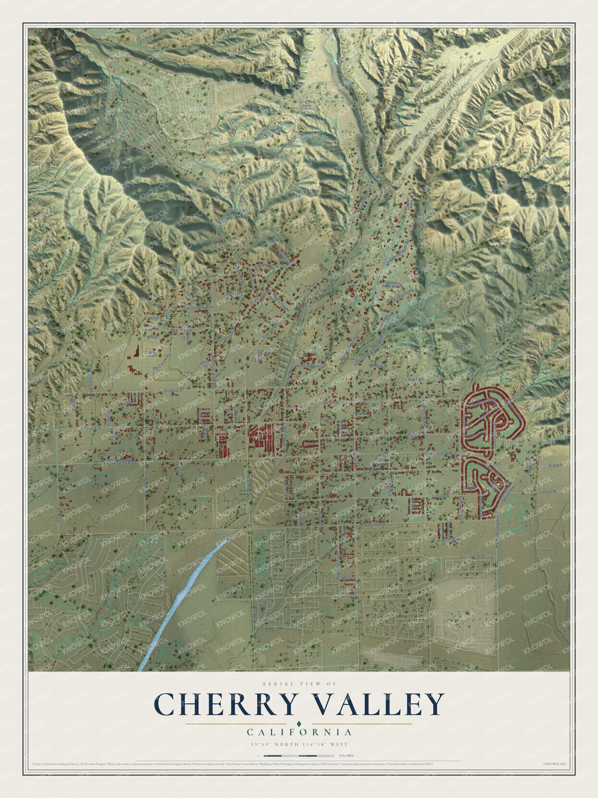
This beautifully detailed map of Cherry Valley, California was created in 2026 using aerial imagery combined with modern topographical, census, street and landmark data. It’s a one-of-a-kind view of Cherry Valley that combines accurate data with a vintage aesthetic. The map shows every building in its true location, many of the roads carry their names, and the shaded topographic relief shows the shape of the land.
Explore an aerial view of Cherry Valley, California
On the map you’ll find Highland Springs, Bogart County Park, Avenue San Timoteo, and Avenue Miravilla, along with Orchard Street, Cherry Valley Boulevard, Brookside Avenue, Oak Glen Road, Vineland Street, Cherry Avenue, Nancy Avenue, Mountain View Avenue, and more. If you look closely you can even find your house accurately drawn in its correct location. Zoom in on the preview to look for yours.
Did you know this piece of Cherry Valley, California history?
From the Riverside County History: "In 1909 a school was constructed in Cherry Valley and is used as a primary school to accommodate the residents of that part of Beaumont."
Take a closer look at the Cherry Valley map
Street and place names on the Cherry Valley, California map
These names are printed on the map of Cherry Valley, California.
Places: Highland Springs and Bogart County Park.
Streets and roads: Orchard Street, Avenue San Timoteo, Avenue Miravilla, Cherry Valley Boulevard, Brookside Avenue, Oak Glen Road, Vineland Street, Cherry Avenue, Nancy Avenue, Mountain View Avenue, Lincoln Street, Grand Avenue.
More street names, A to Z
17th Street, Acacia Lane, Alfred Circle, Alva Drive, Apple Tree Lane, Avenue Altejo Bella, Avenue Altura Bella, Avenue Cerrovista, Avenue Sonrisa, Baldi Court, Beaumont Avenue, Beauview Drive, Bel Air Drive, Bellflower Avenue, Bellflower Easement, Bonita Drive, Bridges Street, Butterfly Drive, Byham Lane, Caballero Drive, Cam del Norte, Canyon Place, Cherry Hills Drive, Cherry Oak Canyon Road, Cherry Oak Road, Cherrystone Avenue, Cherrysytone Avenue, Cheyenne Trail, Chisholm Trail, Cougar Way, County Line Road, Crowther Lane, Deerfield Drive, Delicious Lane, Dutton Street, Edgar Canyon Road, El Monte Drive, Eucalyptus Lane, Franzl Court, Friendship Drive, Frontier Trail, Grand Place, Hidden Heights Drive, Highland Springs Avenue, High Street, Hillcrest Road, Hill Drive, International Park Road, Jenni Lisa Court, Jonathan Avenue, Kadev Avenue, Karen Drive, Kehl Canyon Road, Laredo Trail, Lewis Court, Lilac Lane, Lincoln Place, Live Oak Avenue, Lofty Lane, Martin Lane, Mary Lane, Maureen Drive, Mountian View Avenue, Napoleon Street, Newberry Street, Noble Street, Norman Road, North Highland Springs Avenue, Oak Creek Road, Oak View Lane, Orchard Place, Oregon Trail, Overland Trail, Pass View Drive, Pernell Place, Pine Drive, Ralph Road, Rancho Drive, Royal View Court, Sandra Drive, Sky Lane, Slope Drive, Star Lane, Sunnyslope Avenue, Sylvana Lane, Taylor Drive, Tokay Street, Union Street, Ute Trail, Utica Way, View Drive, Vineland Place, Vinewood Circle, Virginia Lane, West Oneal Court, Whispering Pines Road, Winesap Avenue.
See the Cherry Valley, California map on a wall
The Cherry Valley map as an 18 x 24 inch print in a black frame.

This beautifully detailed map of Cherry Valley makes an attractive addition to your office, library, or den, and it can even be used to teach children the geography and history of the area. It also makes a great gift for someone who left Cherry Valley and still calls it home. When you’re done exploring, click here to get your copy of the Cherry Valley map.