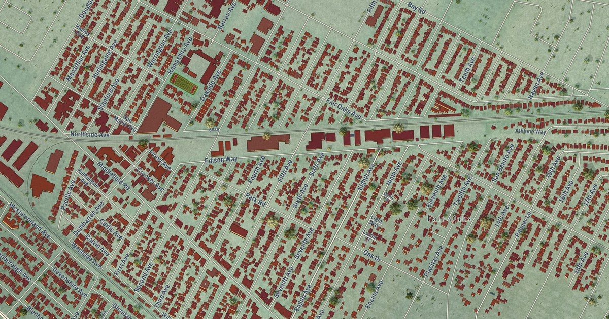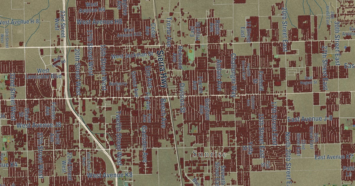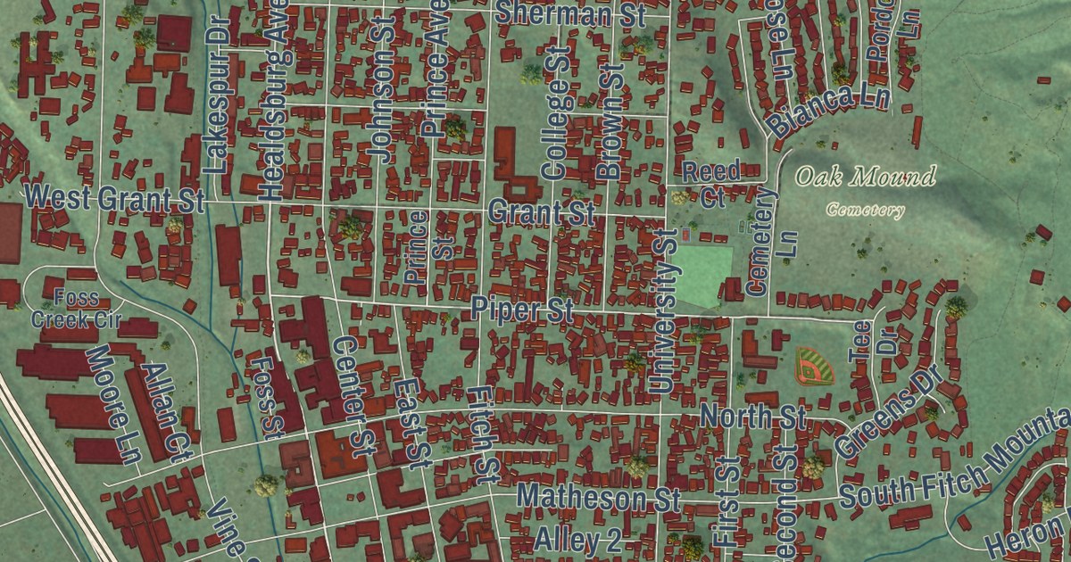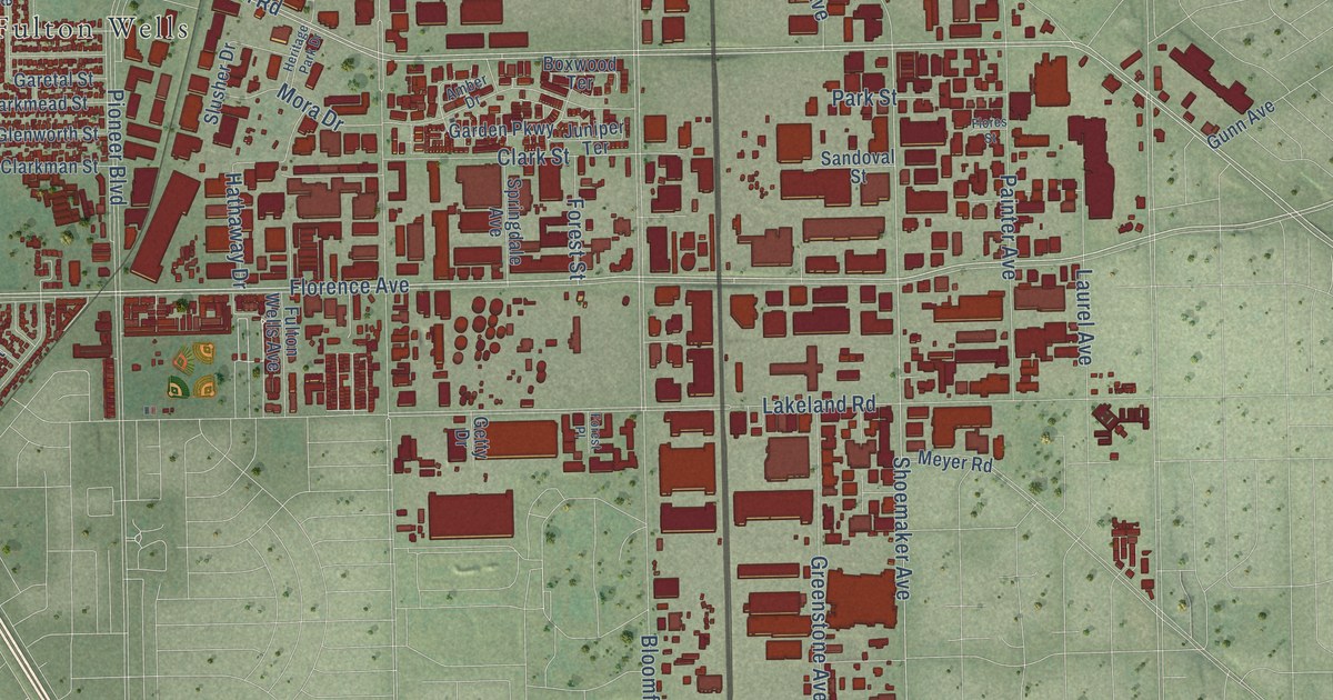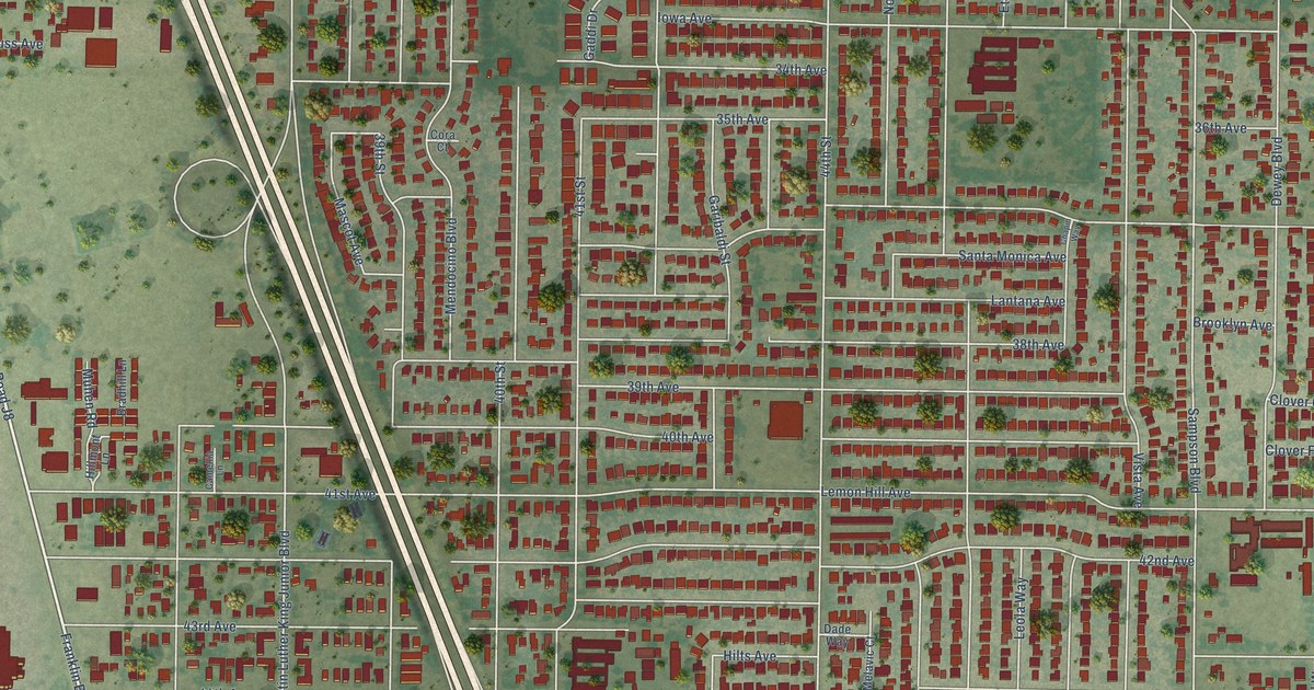
This beautifully detailed map of Lemon Hill, California was created in 2026 using aerial imagery combined with modern topographical, census, street and landmark data. It’s a one-of-a-kind view of Lemon Hill that combines accurate data with a vintage aesthetic. The map shows every building in its true location, many of the roads carry their names, and the shaded topographic relief shows the shape of the land.
Explore an aerial view of Lemon Hill, California
On the map you’ll find Cordova and South Sacramento, along with County Road J8, 49th Street, 47th Avenue, Fruitridge Road, 37th Avenue, Sampson Boulevard, 42nd Avenue, Martin Luther King Junior Boulevard, Laurine Way, 44th Street, and more. If you look closely you can even find your house accurately drawn in its correct location. Zoom in on the preview to look for yours.
Take a closer look at the Lemon Hill map
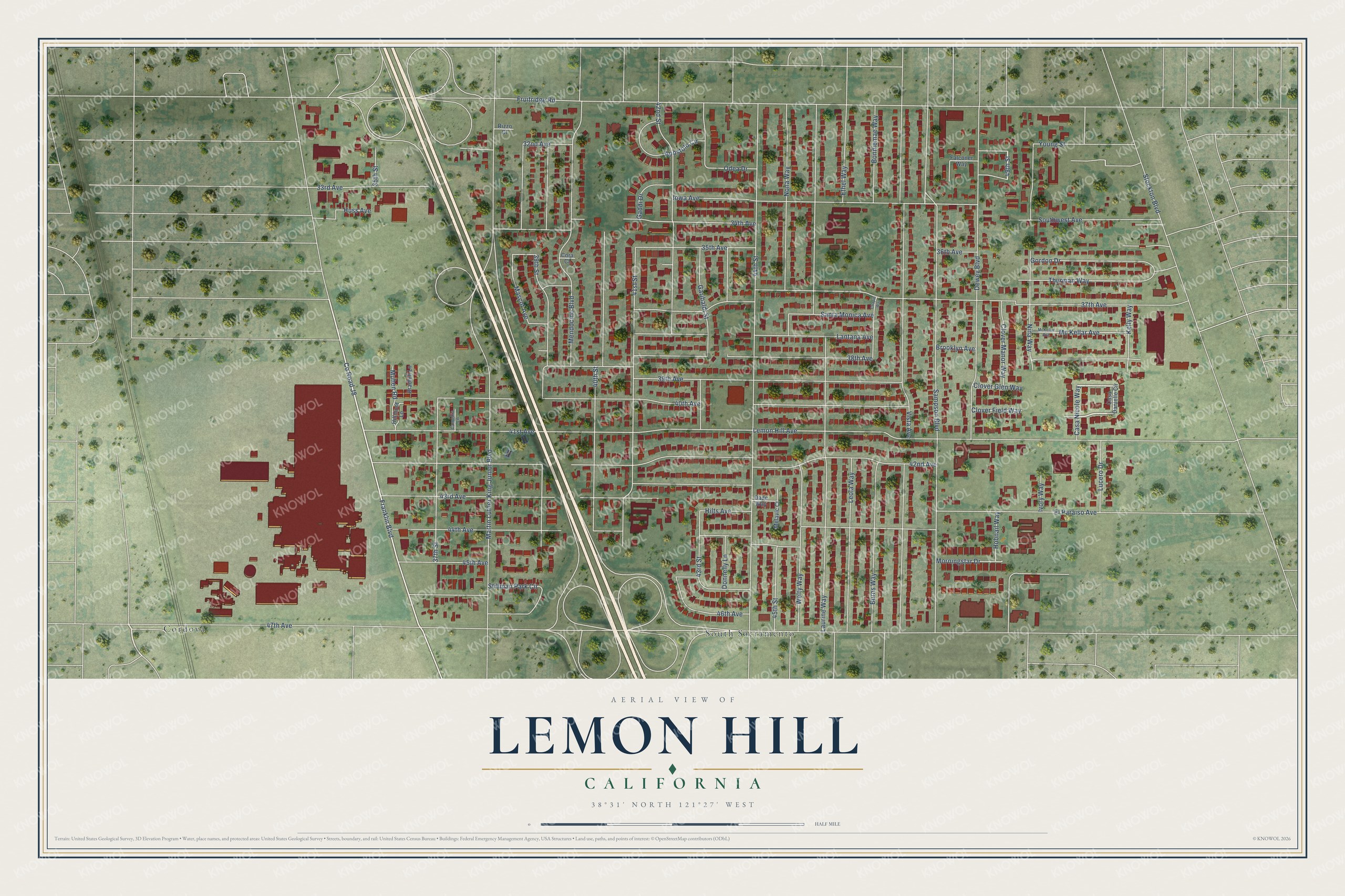
Street and place names on the Lemon Hill, California map
These names are printed on the map of Lemon Hill, California.
Places: Cordova and South Sacramento.
Streets and roads: County Road J8, 49th Street, 47th Avenue, Fruitridge Road, 37th Avenue, Sampson Boulevard, 42nd Avenue, Martin Luther King Junior Boulevard, Laurine Way, 44th Street, Vista Avenue, 44th Avenue.
More street names, A to Z
32nd Avenue, 33rd Avenue, 34th Avenue, 35th Avenue, 35th Street, 36th Avenue, 37th Street, 38th Avenue, 39th Avenue, 39th Street, 40th Avenue, 40th Street, 41st Avenue, 41st Street, 42nd Street, 43rd Avenue, 43rd Street, 45th Avenue, 45th Street, 46th Avenue, Apostolo Circle, Bonniemae Way, Bradhill Lane, Brooklyn Avenue, Burns Way, Camellia Lane, Casa Danielle Circle, Casa Nicole Way, Chapin Way, Clover Field Way, Clover Glen Way, Clover Manor Way, Cora Court, Dade Way, Dewey Boulevard, Donnelly Lane, El Paraiso Avenue, Ethel Way, Falconer Way, Franklin Boulevard, Gaddi Drive, Garibaldi Street, Gordon Drive, Hillmont Lane, Hilts Avenue, Hobnail Way, Huss Avenue, Iowa Avenue, Ivory Way, Kelly Way, Lantana Avenue, Lemon Hill Avenue, Leola Way, Lucero Drive, Mascot Avenue, Mc Kellar Avenue, McKellar Avenue, Melavic Court, Mendocino Boulevard, Morningstar Drive, Muhen Road, Nina Way, Nona Way, Odea Drive, Rizzo Court, Santa Monica Avenue, Southwest Avenue, Stillman Park Circle, Stockton Boulevard, Thurman Way, Welty Way, Young Street.
See the Lemon Hill, California map on a wall
The Lemon Hill map as an 18 x 24 inch print in a black frame.

This beautifully detailed map of Lemon Hill makes an attractive addition to your office, library, or den, and it can even be used to teach children the geography and history of the area. It also makes a great gift for anyone with Lemon Hill roots. When you’re done exploring, click here to get your copy of the Lemon Hill map.