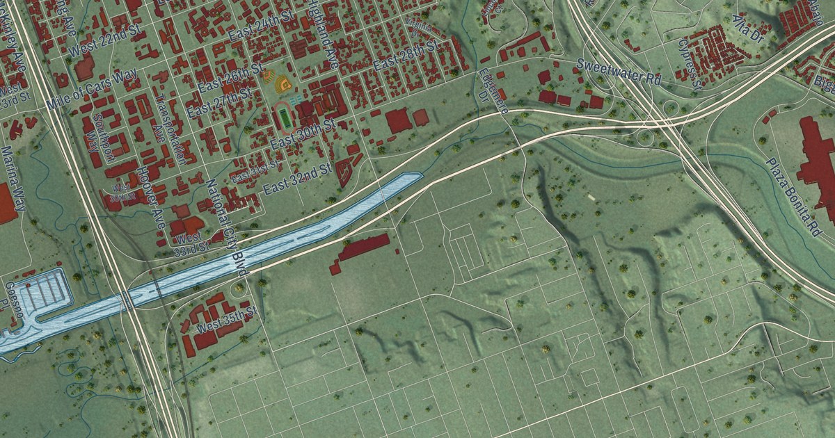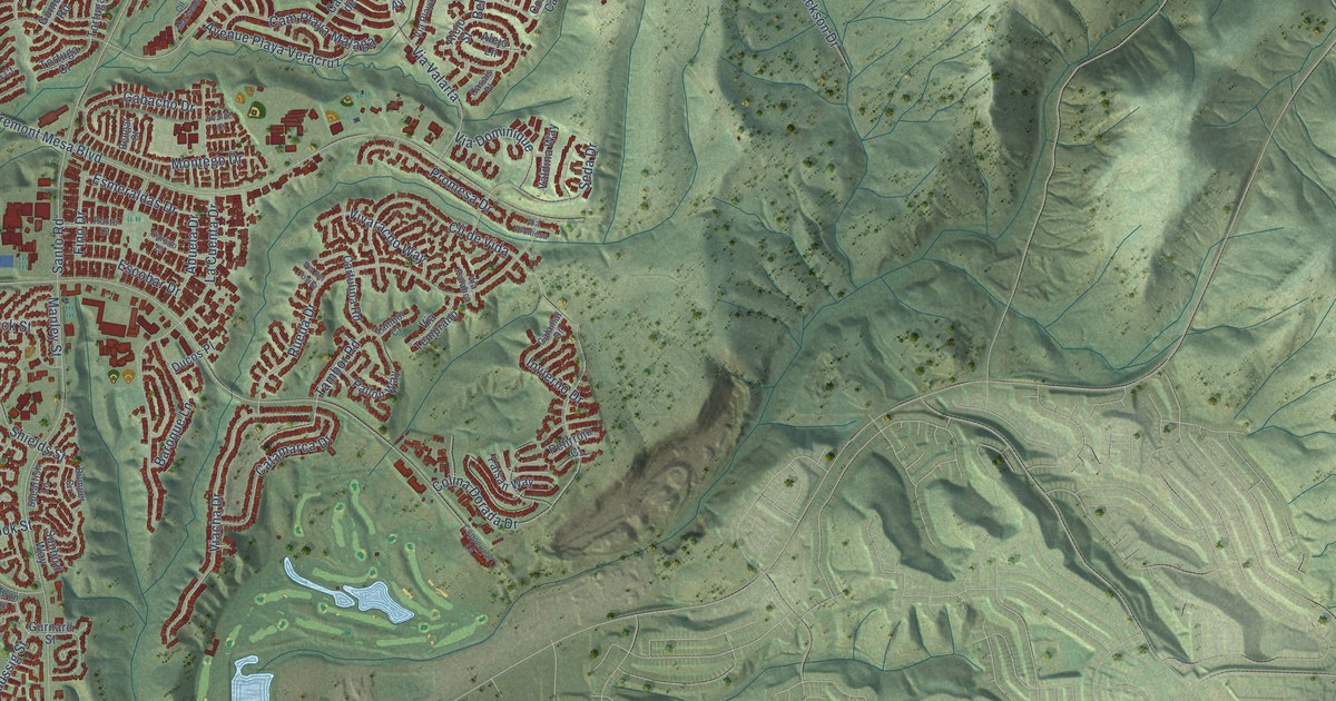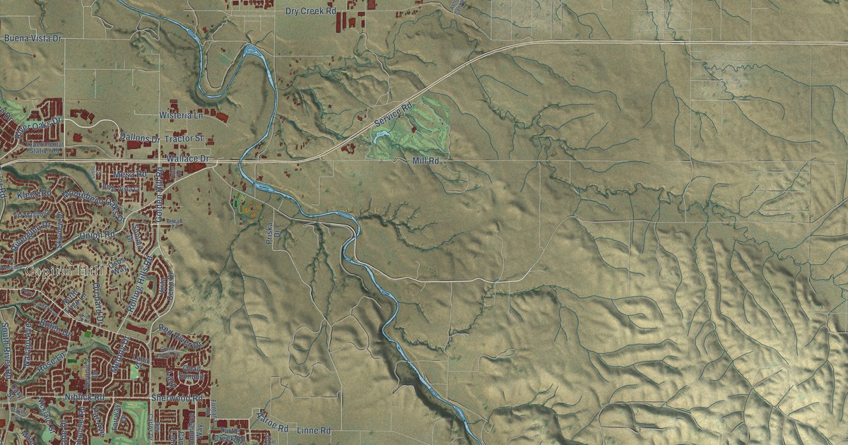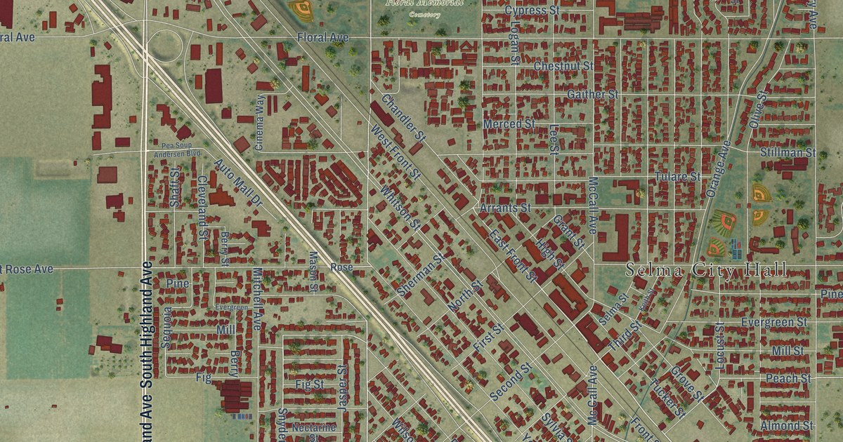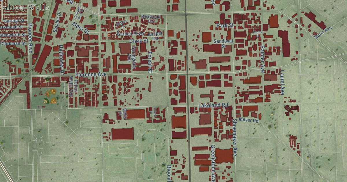
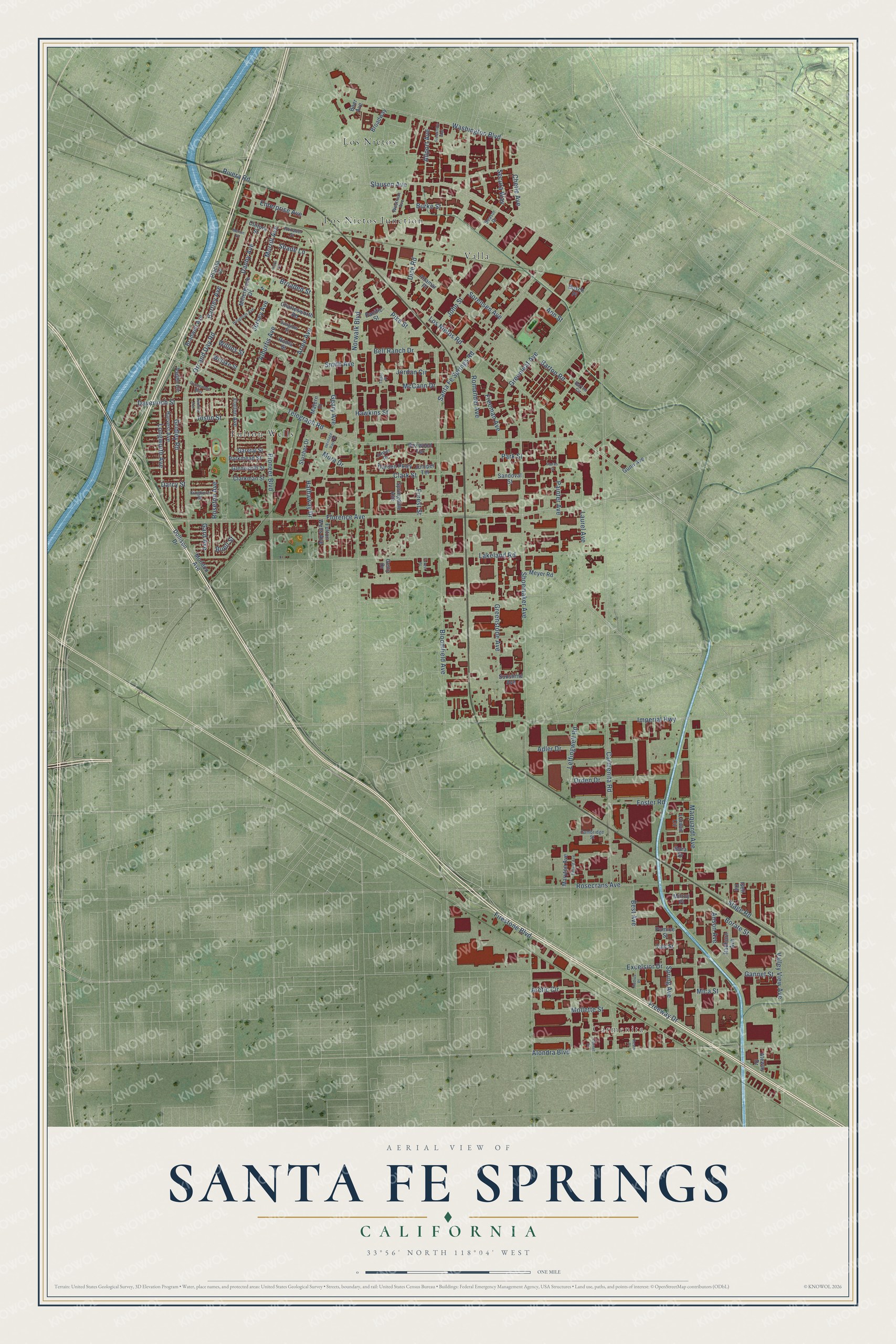
This beautifully detailed map of Santa Fe Springs, California was created in 2026 using aerial imagery combined with modern topographical, census, street and landmark data. It's a modern aerial view of Santa Fe Springs in Los Angeles County, California, that combines modern data with a vintage aesthetic. The roads feature printed names, and if you look closely you can find your exact house accurately shown in its correct location.
Explore an aerial view of Santa Fe Springs, California
On this map you'll find Carmenita, Fulton Wells, Los Nietos, Los Nietos Junction, Valla, Freeway Drive, Florence Avenue, Telegraph Road, Shoemaker Avenue, Pioneer Boulevard, Carmenita Road, Orr and Day Road, and more. Each red shape is a building, so zoom in on the preview and look for yours.
Santa Fe Springs has a story worth telling. The National Register of Historic Places puts it this way: "Slusher continued to operate the property as a ranch until
1922 when oil was discovered on the land (one of the first major
finds of oil in the Santa Fe Springs area)."
Santa Fe Springs is a city in Los Angeles County. The Census Bureau counted 19,219 people here in 2020.
Take a closer look at the Santa Fe Springs map
Names on this map
These names are printed on this map.
Places: Carmenita, Fulton Wells, Los Nietos, Los Nietos Junction and Valla.
Streets and roads: Freeway Drive, Florence Avenue, Telegraph Road, Shoemaker Avenue, Pioneer Boulevard, Carmenita Road, Orr and Day Road, Alondra Boulevard, Bloomfield Avenue, Lakeland Road, Norwalk Boulevard, Los Nietos Road.
More street names, A to Z
Adler Drive, Alburtis Avenue, Allport Avenue, Altamar Place, Amber Drive, Ann Street, Anson Avenue, Arctic Circle, Arlee Avenue, Aspen Circle, Ateway Drive, Bartley Avenue, Barton Circle, Barton Road, Beasor Drive, Bell Ranch Drive, Best Avenue, Boer Avenue, Bora Drive, Borate Street, Boxwood Terrace, Bradwell Avenue, Broaded Street, Broadway, Buell Street, Burke Street, Busch Place, Cambridge Street, Charlesworth Road, Chetle Avenue, Clarkman Street, Clark Street, Cornet Street, Cultura Street, Danby Avenue, Darcy Street, Davenrich Street, Dice Road, Dinard Avenue, Dollison Drive, Enterprise Avenue, Excelsior Drive, Firestone Boulevard, Flallon Avenue, Flores Street, Forest Place, Forest Street, Foster Road, Freeman Avenue, Freestone Avenue, Fulton Wells Avenue, Gannet Street, Gard Avenue, Garden Parkway, Garetal Street, Geary Avenue, Getty Drive, Glenworth Street, Greenleaf Avenue, Greenstone Avenue, Gridley Road, Gunn Avenue, Harvest Avenue, Hathaway Drive, Hawkins Street, Heritage Park Drive, Houghton Avenue, Imperial Highway, Iseli Road, Jersey Avenue, John Street, Jordan Circle, Joslin Street, Juniper Terrace, Kinghorn Street, Larwin Circle, Laurel Avenue, Leffingwell Road, Longworth Avenue, Marquardt Avenue, Maryton Avenue, Matern Place, McCann Drive, Mersin Place, Meyer Road, Mica Street, Millergrove Drive, Milroy Place, Mollette Street, Mondon Avenue, Mora Drive, Morrill Avenue, Orden Drive, Pacific Street, Painter Avenue, Parkmead Street, Park Street, Pike Street, Placita Place, Promenade Way, Pumice Street, Radburn Avenue, Radius Place, Resin Place, Rivera Road, Romandel Avenue, Roma Street, Rosecrans Avenue, Roseton Avenue, Roxabel Street, Sandoval Street, Santa Fe Springs Road, Secura Way, Shade Lane, Slauson Avenue, Slusher Drive, Smith Avenue, Sorensen Avenue, Spring Avenue, Springdale Avenue, Stage Road, Summer Avenue, Sunglow Street, Sunshine Avenue, Tabor Place, Talc Street, Valley View Avenue, Vicki Drive, Washington Boulevard, Westman Avenue, Willake Street, Willins Street.
Created by KNOWOL in 2026. The buildings are small red shapes, the roads carry their printed names, and shaded relief shows the shape of the land. The title panel reads "AERIAL VIEW OF SANTA FE SPRINGS CALIFORNIA" with 33°56' NORTH 118°04' WEST.
It looks right in a kitchen, an office or a den, and it's a gift for anyone who grew up in Santa Fe Springs or moved away. Open the preview and find your street. See sizes and frames for the Santa Fe Springs map.