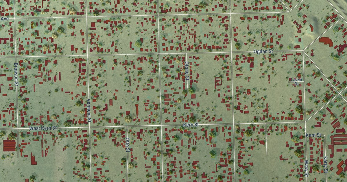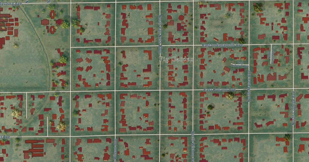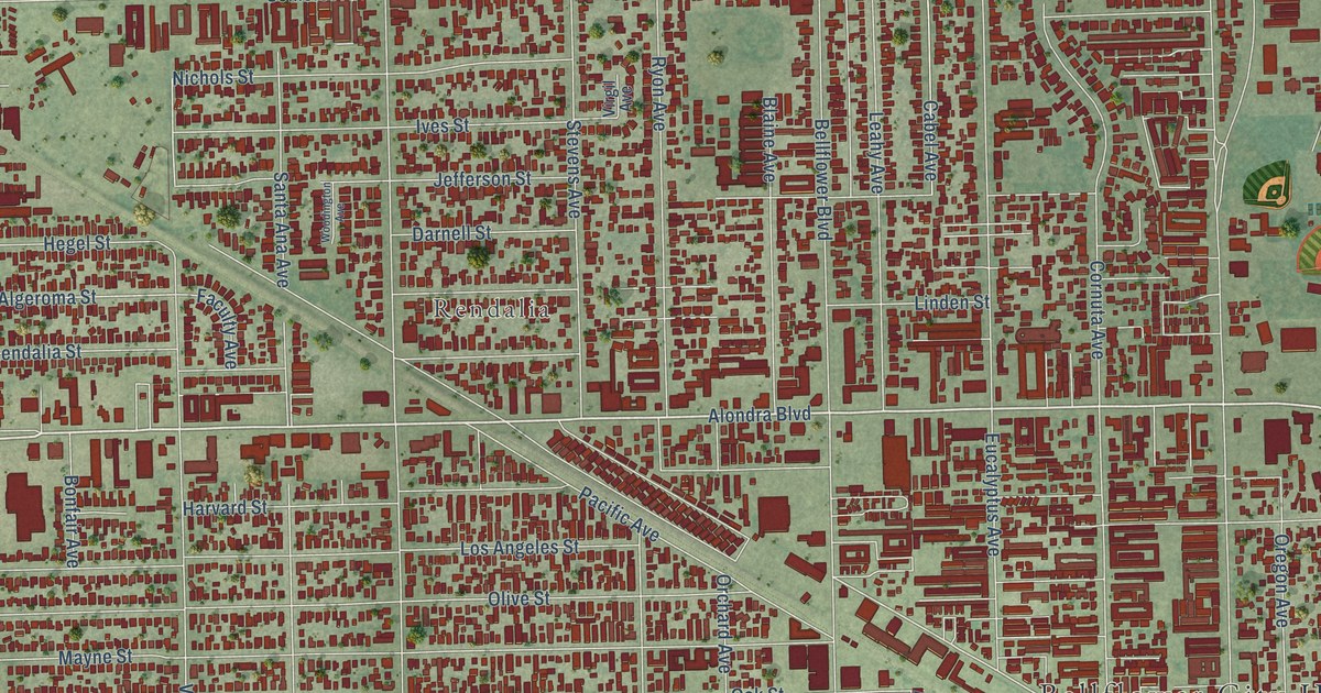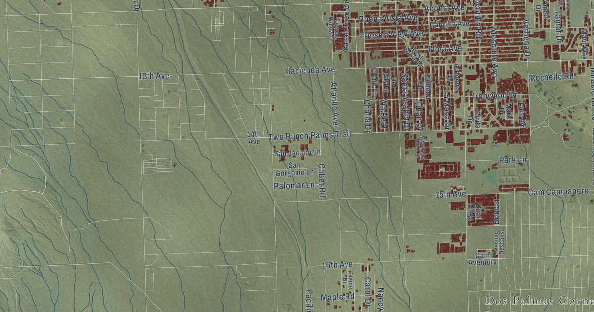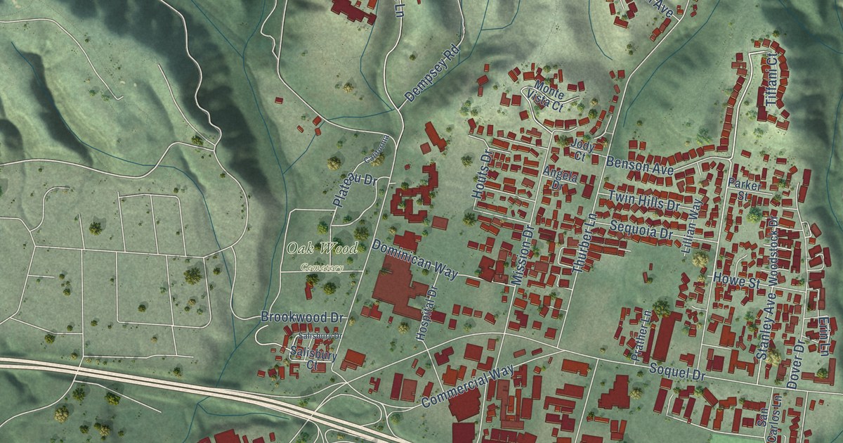
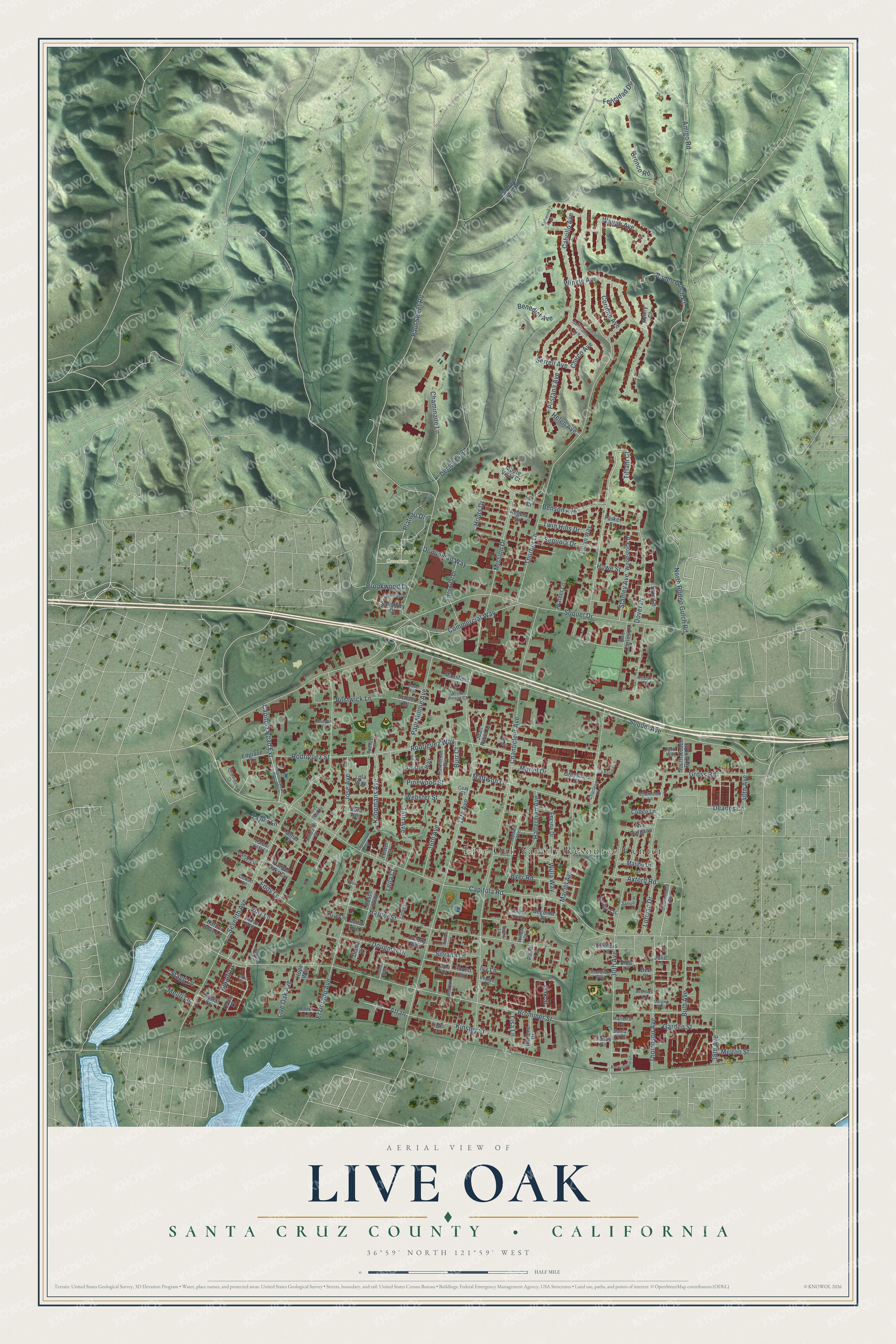
This beautifully detailed map of Live Oak, Santa Cruz County, California was created in 2026 using aerial imagery combined with modern topographical, census, street and landmark data. It's a modern aerial view of Live Oak, Santa Cruz County in Santa Cruz County, California, that combines modern data with a vintage aesthetic. The roads feature printed names, and if you look closely you can find your exact house accurately shown in its correct location.
Explore an aerial view of Live Oak, Santa Cruz County, California
On this map you'll find Live Oak Family Resource Center, Oak Wood Cemetery, Capitola Road Extension, Winkle Avenue, Plateau Drive, Bronco Road, Soquel Avenue, Brommer Street, Paul Sweet Road, 17th Avenue, Capitola Road, North Rodeo Gulch Road, and more. Each red shape is a building, so zoom in on the preview and look for yours.
Live Oak, Santa Cruz County is a community in Santa Cruz County. The Census Bureau counted 17,038 people here in 2020. The map prints the town name in its title panel, with the coordinates below it.
Take a closer look at the Live Oak, Santa Cruz County map
Names on this map
These names are printed on this map.
Places: Live Oak Family Resource Center and Oak Wood Cemetery.
Streets and roads: Capitola Road Extension, Winkle Avenue, Plateau Drive, Bronco Road, Soquel Avenue, Brommer Street, Paul Sweet Road, 17th Avenue, Capitola Road, North Rodeo Gulch Road, Chanticleer Avenue, Thurber Lane.
More street names, A to Z
15th Avenue, 16th Avenue, 30th Avenue, 38th Avenue, 40th Avenue, Amalfi Drive, Amber Avenue, Amigo Road, Andrew Lane, Angela Drive, Anzio Court, Artimus Lane, Atran, Avila Avenue, Axford Road, Bali Way, Begonia Place, Benedict Avenue, Benson Avenue, Bianchi Lane, Bostwick Lane, Brommer Way, Brookwood Drive, Buckingham Lane, Bulb Avenue, Burr Court, Byer Road, Cable Court, Cabrillo Avenue, California, Cambria Lane, Capitola Road Extended, Captains Court, Chaminade Lane, Charlene Lane, Childers Lane, Chirco Avenue, Churnside Lane, Cisco Lane, Coffee Lane, Colony Way, Commercial Way, Corinne Avenue, Cowart Road, Cozy Court, Crystal Lane, Darlene Drive, Deanes Lane, Dee Street, Dempsey Road, Diana Drive, Dominican Way, Dora Avenue, Dougmar Drive, Dover Drive, Dustin Way, Eddy Lane, Edgrace Lane, Edmar Lane, Elda Lane, El Dorado Avenue, Encina Drive, Erin Lane, Esperanza Court, Ezra Lane, Felicidad Drive, Fenn Way, Foster Court, Freya Place, Garden Street, Germaine Avenue, Grey Seal Road, Greystone Court, Gross Road, Halterman Avenue, Harbor Cove Lane, Harbor Oaks Circle, Harborview Court, Harbor Vista Lane, Harkleroad Avenue, Harper Street, Helen Avenue, Hope Way, Hospital Drive, Houts Drive, Howe Street, Iris Lane, Ivy Lane, Jody Court, Jose Avenue, Juan Pablo Lane, Julie Lane, Katherine Lane, Kenny Court, Kinsley Street, Koopmans Avenue, Kristie Court, La Paloma Lane, Leila Court, Leotar Circle, Lillian Way, Linnea Court, Lisa Lane, Live Oak Avenue, Lola Way, Lotman Drive, Maciel Avenue, Malibu Drive, Manor Way, Mansfield Street, Margies Way, Marietta Court, Marie Way, Mattison Lane, Mello Lane, Melton Street, Mission Drive, Monte Vista Court, Muriel Drive, Oak Street, Old Paul Sweet Road, Onorato Lane, Pa-Mi Lane, Parker Street, Paul Minnie Avenue, Pesce Way, Pestana Avenue, Pinewood Street, Pound Lane, Prather Lane, Reinelt Avenue, Renwick Way, Rina Court, Rodeo Gulch Court, Rodriguez Street, Rodriguez Way, Salisbury Court, Salisbury Drive, Samuel Place, San Carlos Lane, Sandy Lane, Santa Fe Court, School Road, Schooner Court, Sequoia Drive, Serrell Avenue, Seventh Avenue, Silvana Lane, Sommerfeld Avenue, Soquel Drive, South Rodeo Gulch Road, Spencer Court, Stagg Lane, Stanley Avenue, Tanner Court, Taylor Lane, Thompson Avenue, Tiffani Court, Tricia Lane, Twin Hills Drive, Venice Drive, Via Gargano, Vista Prieta Court, Volz Lane, Waugh Avenue, Webster Street, Willa Way, Willow Court, Woodstock Drive.
Created by KNOWOL in 2026. The buildings are small red shapes, the roads carry their printed names, and shaded relief shows the shape of the land. The title panel reads "AERIAL VIEW OF LIVE OAK SANTA CRUZ COUNTY • CALIFORNIA" with 36°59' NORTH 121°59' WEST.
Hang it in the hallway, the office or the cabin, or give it to someone who left Live Oak, Santa Cruz County and still calls it home. Open the preview and look for a street you know. See sizes and frames for the Live Oak, Santa Cruz County map.