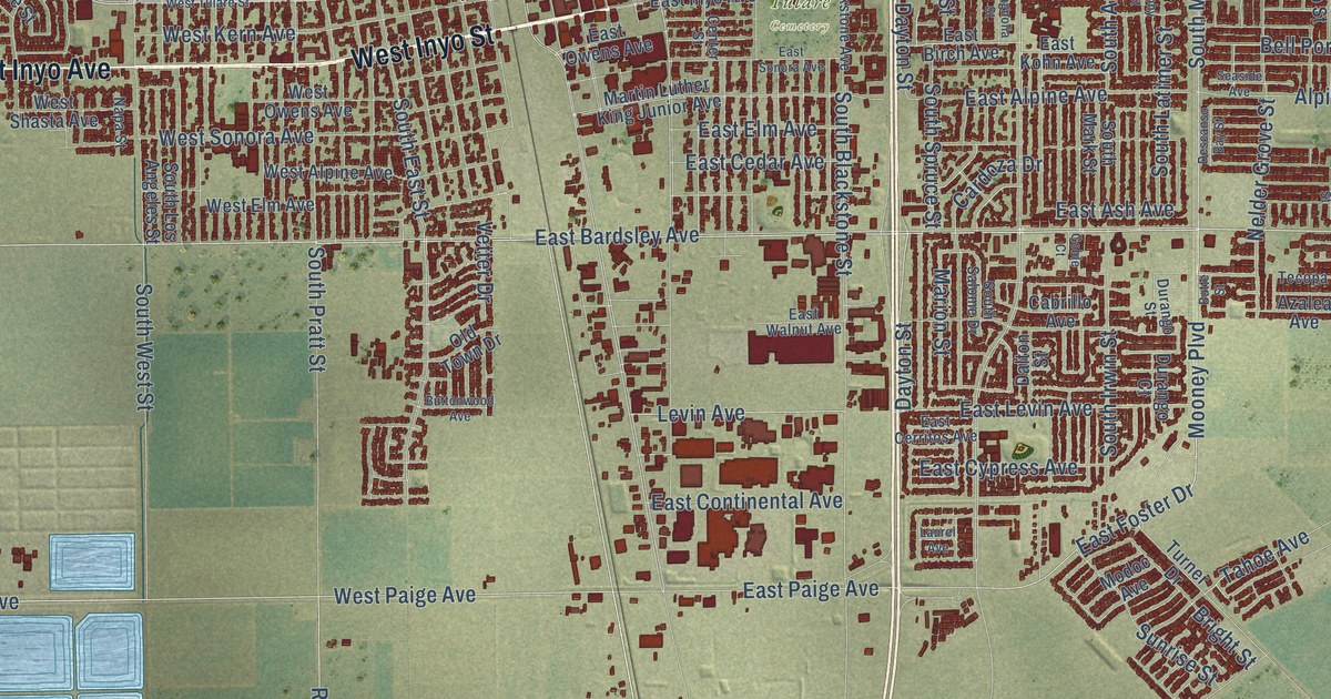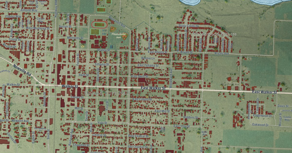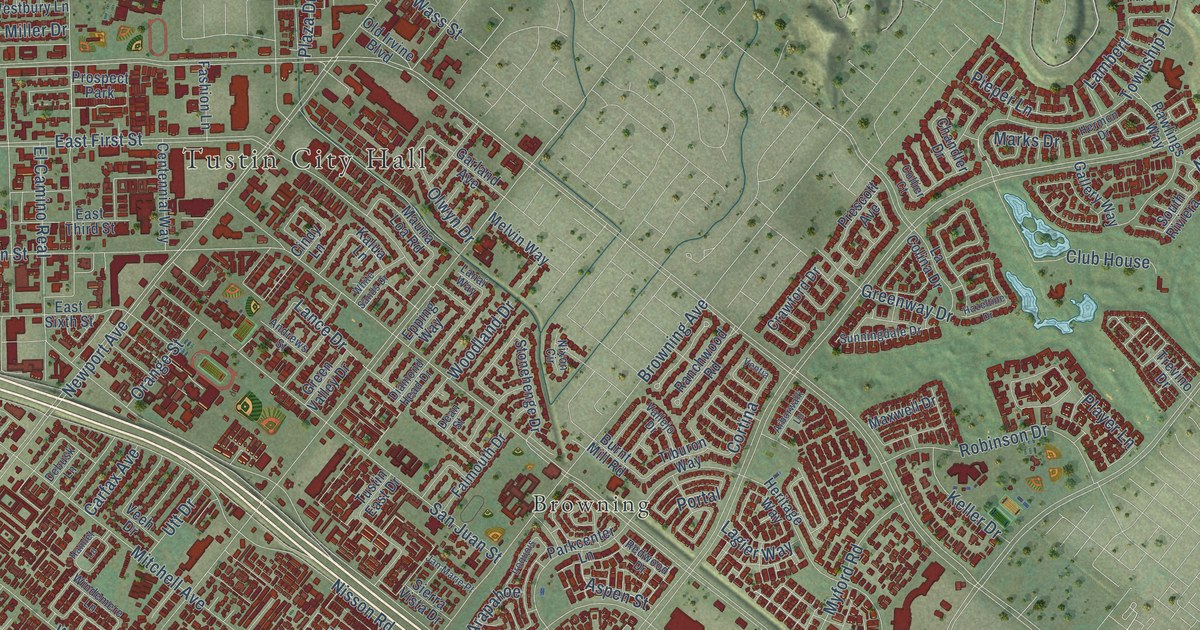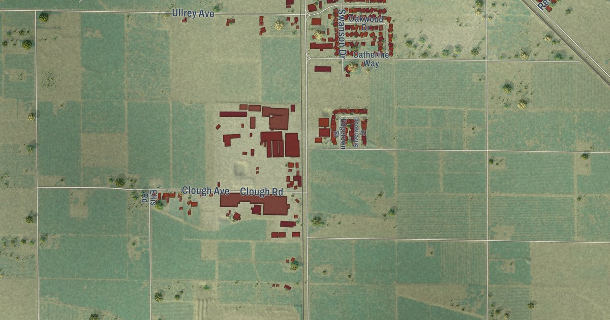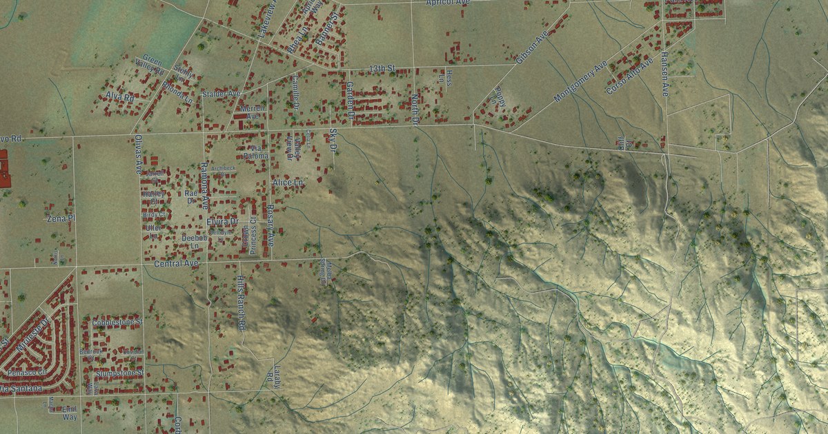
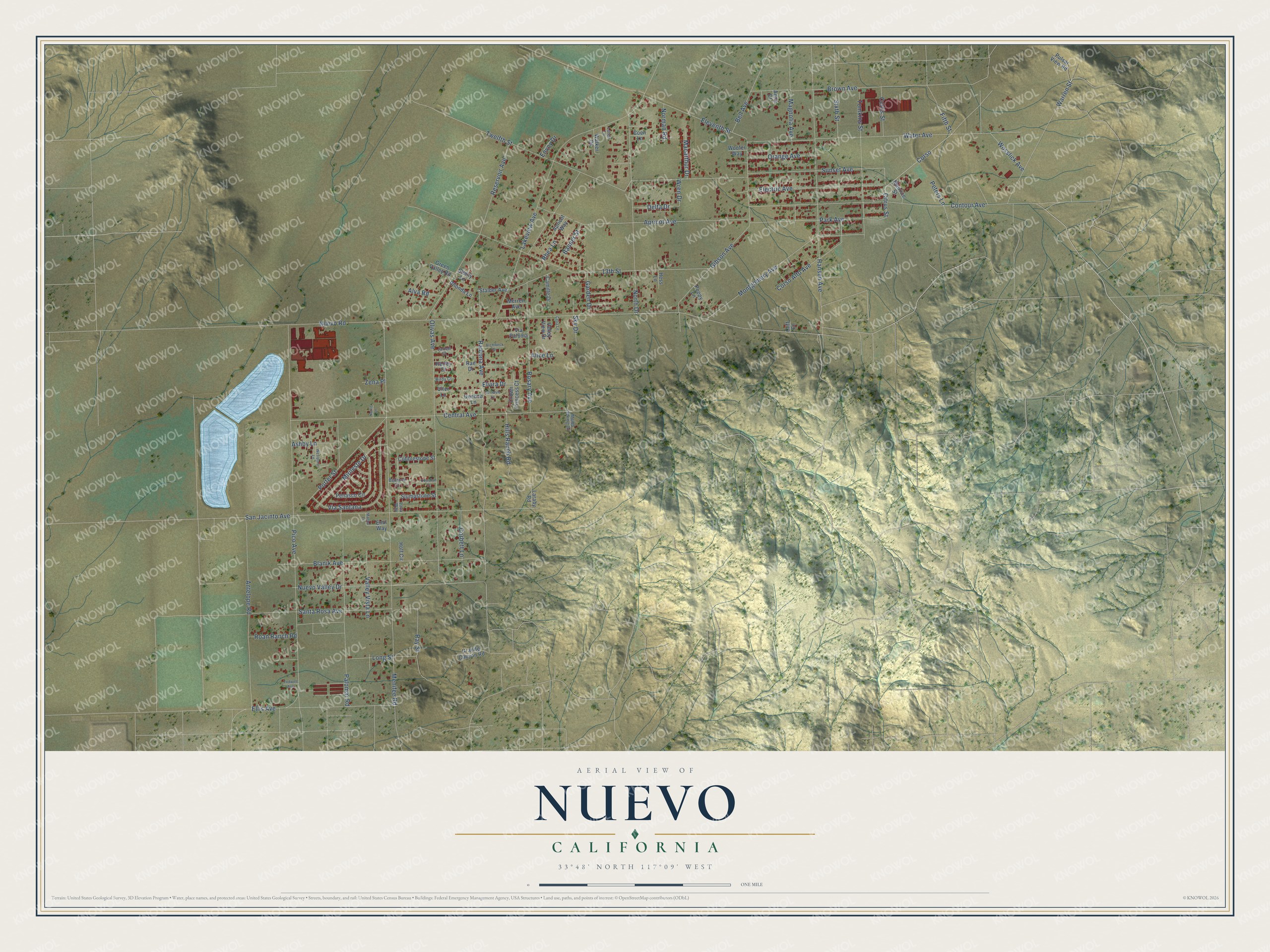
This beautifully detailed map of Nuevo, California was created in 2026 using aerial imagery combined with modern topographical, census, street and landmark data. It's a modern aerial view of Nuevo in Riverside County, California, that combines modern data with a vintage aesthetic. The roads feature printed names, and if you look closely you can find your exact house accurately shown in its correct location.
Explore an aerial view of Nuevo, California
On this map you'll find Pico Avenue, Nuevo Valley Drive, Corso, Citrus Street, Bell Avenue, Eleventh Street, Ramona Avenue, Nuevo Road, Menifee Road, Twelfth Street, 13th Street, San Jacinto Avenue, and more. Each red shape is a building, so zoom in on the preview and look for yours.
Nuevo is a community in Riverside County. The Census Bureau counted 6,733 people here in 2020. The map prints the town name in its title panel, with the coordinates below it.
Take a closer look at the Nuevo map
Names on this map
These names are printed on this map.
Streets and roads: Pico Avenue, Nuevo Valley Drive, Corso, Citrus Street, Bell Avenue, Eleventh Street, Ramona Avenue, Nuevo Road, Menifee Road, Twelfth Street, 13th Street, San Jacinto Avenue.
More street names, A to Z
Alice Lane, Alva Road, Anne Court, Antelope Road, Apricot Avenue, Apricot Way, Archibeck Drive, Ashby Lane, Banner Street, Bedrock Court, Bettelyle Lane, Birdy Court, Blanik Avenue, Brown Avenue, Camille Drive, Celia Lane, Central Avenue, Cliff Court, Cobblestone Street, Coen Lane, Contour Avenue, Corbett Lane, Corso Alto Avenue, Crown Princess Court, Curtis Street, Deebob Lane, Delta Drive, Electric Avenue, Ellis Avenue, Elvira Drive, Emil Way, Envoy Drive, Fifth Street, Garden Drive, Gibson Avenue, Granite Canyon Road, Green Valley Road, Hansen Avenue, Harley Court, Hess Lane, Hills Ranch Road, Hoff Circle, Jarrell Court, Lakeview Avenue, Laraby Road, Lava Way, Long Street, Loren Lane, Macarthur Drive, Macha Lane, Magnolia Avenue, Maurice Street, Melba Spring Drive, Merrell Avenue, Mirileste Drive, Montgomery Avenue, Norman Road, Norris Lane, North Drive, Obsidian Court, Olivas Avenue, Orange Avenue, Palomar Road, Park Avenue, Penasco Circle, Peters Lane, Poppy Lane, Porter Street, Pulsar View Road, Rae Drive, Ray Street, Reservoir Avenue, Rhea Lane, Rhonda Lane, Roan Ranch Road, Rosary Avenue, Santa Rosa Avenue, Sixth Street, Sky Drive, Slumpstone Street, Stalder Avenue, Stehly Lane, Sunset Avenue, Todwell Avenue, Tomkins Street, Uller Lane, Valley View Drive, Valley Vista Lane, Via Paloma, Via Santana, Walker Drive, Warren Street, Water Avenue, Westport Lane, Woofer Way, Wosslick Avenue, Wren Drive, Zena Place.
Created by KNOWOL in 2026. The buildings are small red shapes, the roads carry their printed names, and shaded relief shows the shape of the land. The title panel reads "AERIAL VIEW OF NUEVO CALIFORNIA" with 33°48' NORTH 117°09' WEST.
It looks right in a kitchen, an office or a den, and it's a gift for anyone who grew up in Nuevo or moved away. Open the preview and find your street. See sizes and frames for the Nuevo map.