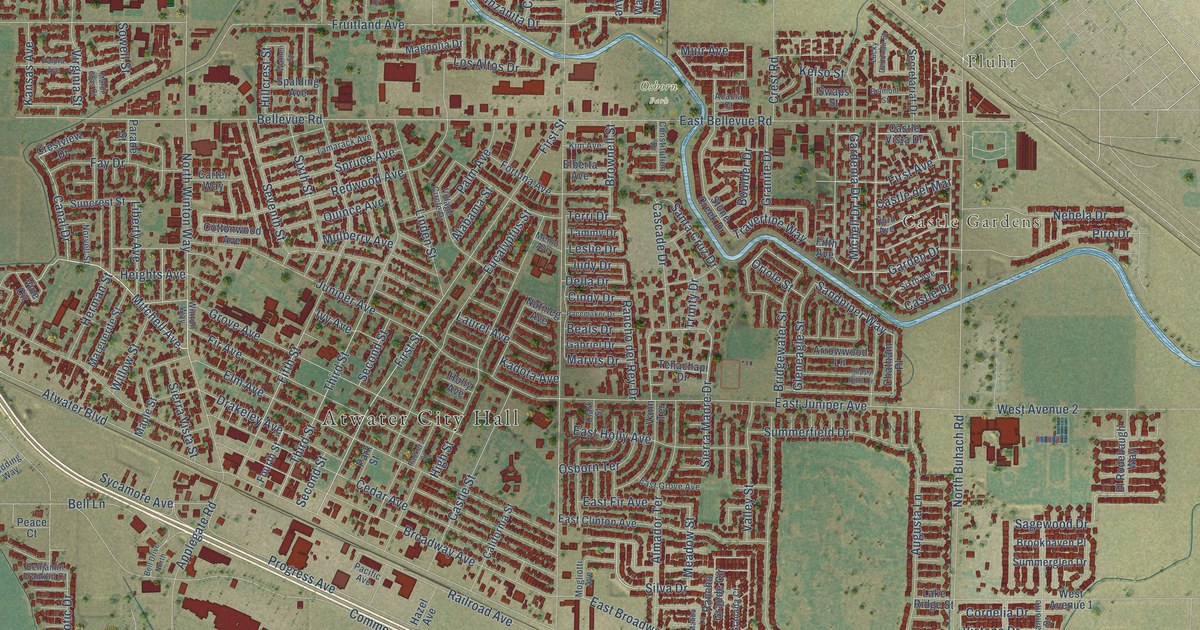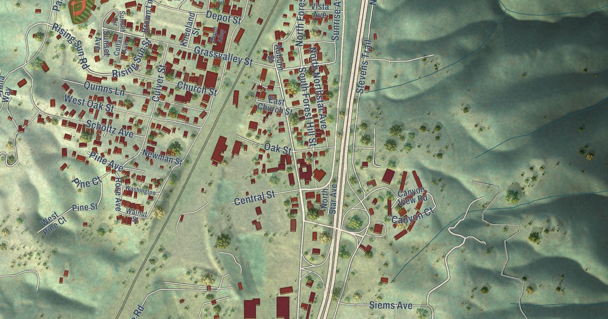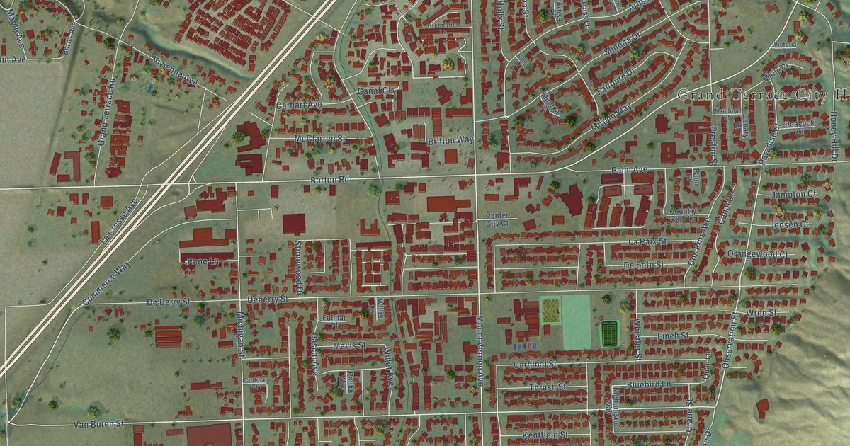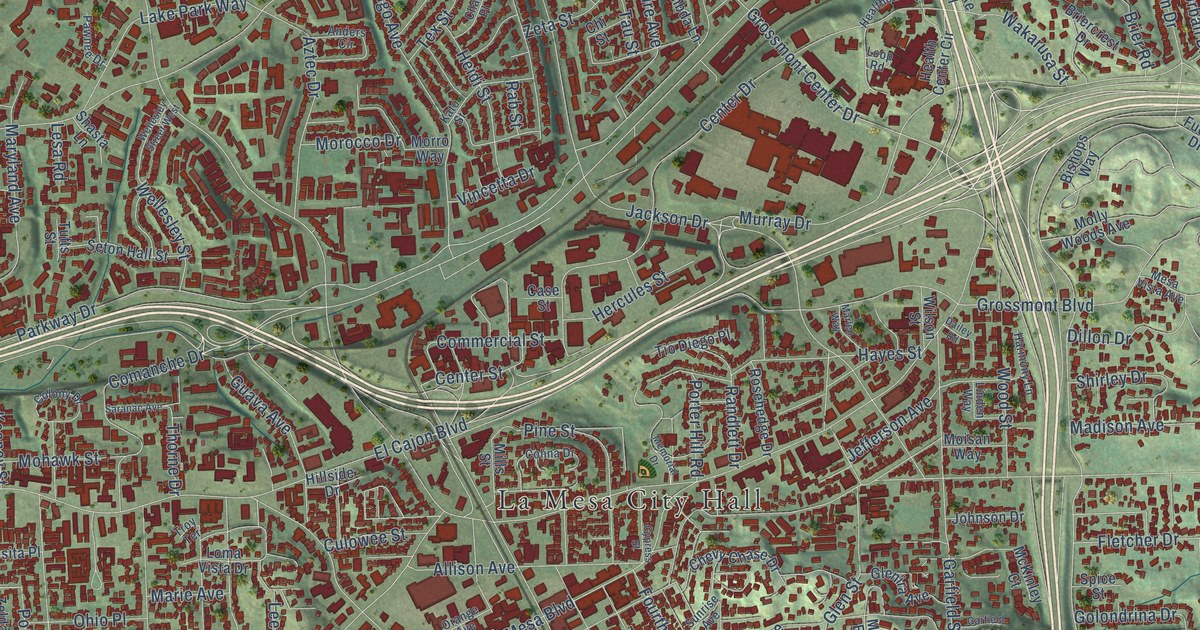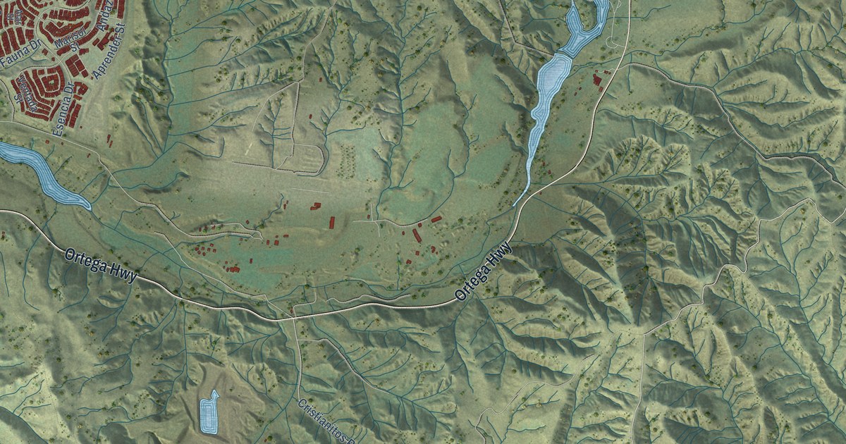
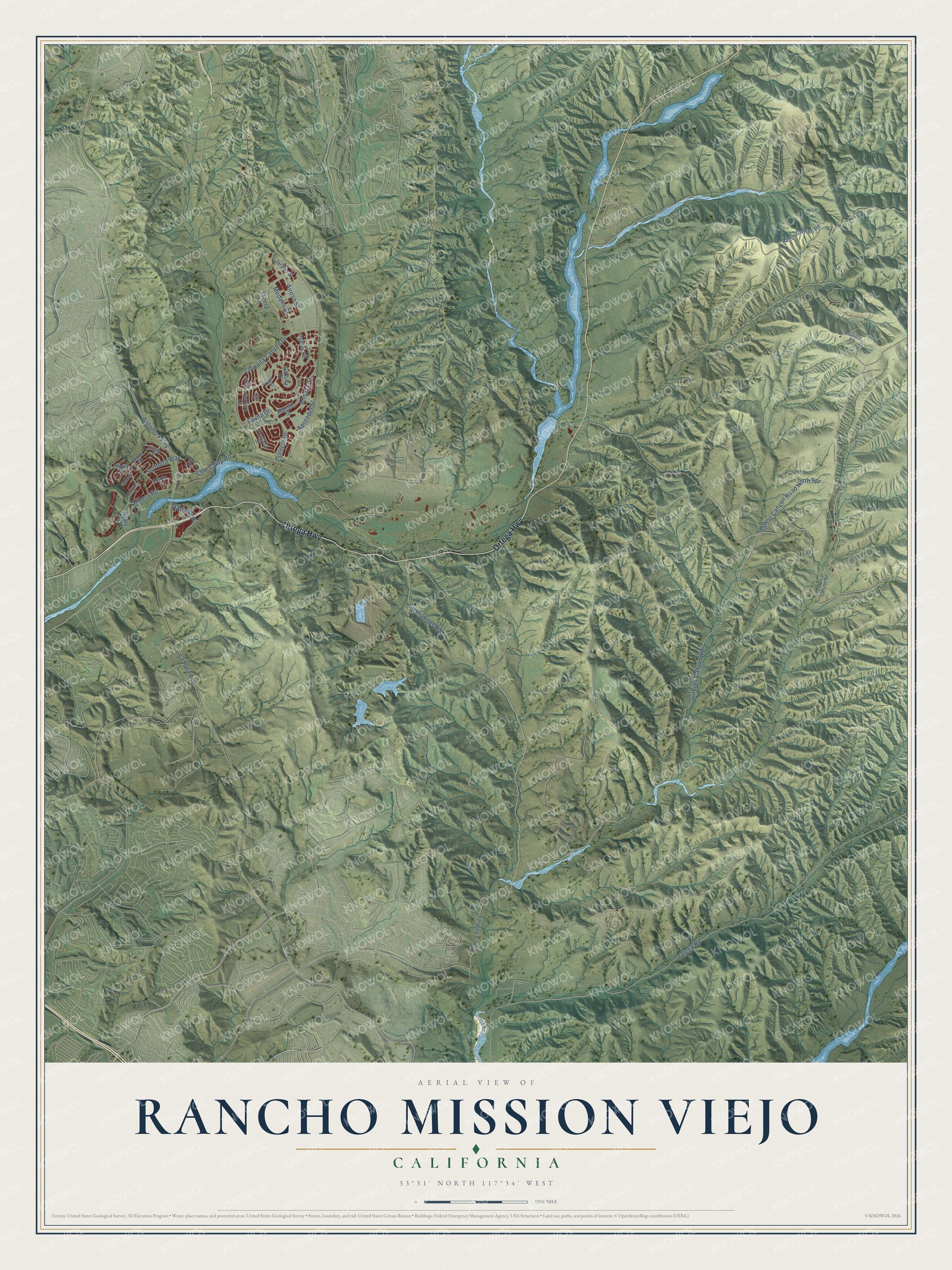
This beautifully detailed map of Rancho Mission Viejo, California was created in 2026 using aerial imagery combined with modern topographical, census, street and landmark data. It's a modern aerial view of Rancho Mission Viejo in Orange County, California, that combines modern data with a vintage aesthetic. The roads feature printed names, and if you look closely you can find your exact house accurately shown in its correct location.
Explore an aerial view of Rancho Mission Viejo, California
On this map you'll find Ortega Highway, Cristianitos Road, Ribera Road, Gabino Canyon Road, Talega Road, Esencia Drive, Cow Camp Road, La Pata Avenue, Antonio Parkway, Airoso Street, Chiquita Canyon Drive, Andaza Street, and more. Each red shape is a building, so zoom in on the preview and look for yours.
Rancho Mission Viejo is a community in Orange County. The Census Bureau counted 10,378 people here in 2020. The map prints the town name in its title panel, with the coordinates below it.
Take a closer look at the Rancho Mission Viejo map
Names on this map
These names are printed on this map.
Streets and roads: Ortega Highway, Cristianitos Road, Ribera Road, Gabino Canyon Road, Talega Road, Esencia Drive, Cow Camp Road, La Pata Avenue, Antonio Parkway, Airoso Street, Chiquita Canyon Drive, Andaza Street.
More street names, A to Z
Alar Street, Amado Place, Aprender Street, Arada Street, Bahari, Boundry Road, Cache Street, Cam la Pedriza, Cerrero Court, Fauna Drive, Gabino Canyon Road North Spr, Galivan Drive, Garcilla Drive, Gateway Place, Hoya Street, Jarano Street, La Paz Canyon Road, Lindura Street, Luneta Lane, Marisol Street, Medano Street, Puesto Road, Ranch Carrillo Road, Reata Road, Sendero Way, Ventada Street, Vivido Street, Volar Street.
Created by KNOWOL in 2026. The buildings are small red shapes, the roads carry their printed names, and shaded relief shows the shape of the land. The title panel reads "AERIAL VIEW OF RANCHO MISSION VIEJO CALIFORNIA" with 33°31' NORTH 117°34' WEST.
It suits a den, a classroom or a front hall, and it makes a gift for anyone with Rancho Mission Viejo roots. Open the preview and find the block you know. See sizes and frames for the Rancho Mission Viejo map.