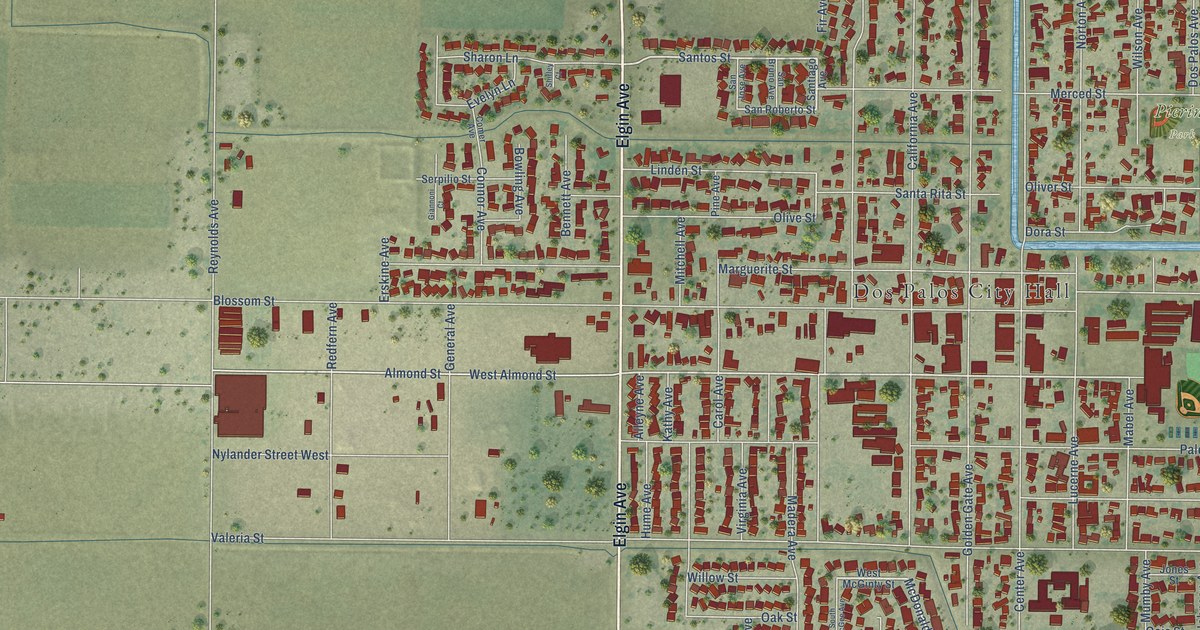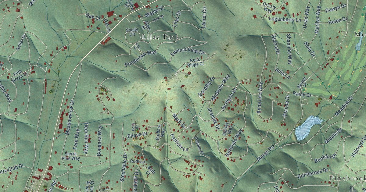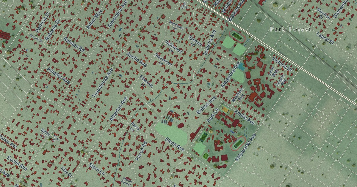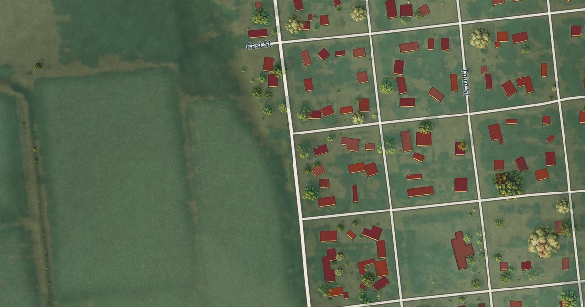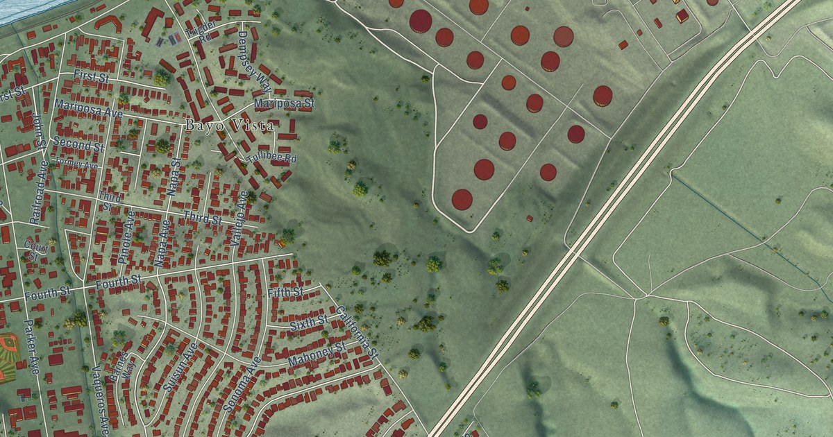
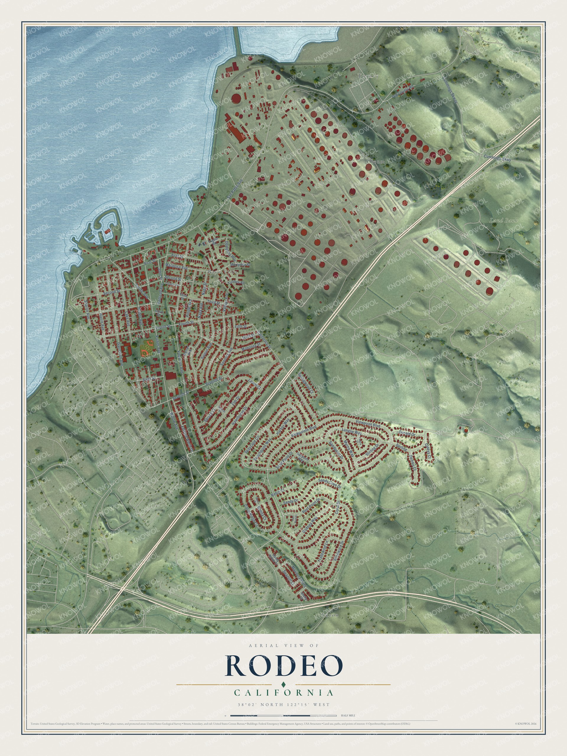
This beautifully detailed map of Rodeo, California was created in 2026 using aerial imagery combined with modern topographical, census, street and landmark data. It's a modern aerial view of Rodeo in Contra Costa County, California, that combines modern data with a vintage aesthetic. The roads feature printed names, and if you look closely you can find your exact house accurately shown in its correct location.
Explore an aerial view of Rodeo, California
On this map you'll find Land Bank, Bayo Vista, Luzon, Oleum, Tormey, San Pablo Avenue, Second Street, Third Street, Edward Werth Drive, Viewpoint Boulevard, Viewpointe Boulevard, First Street, and more. Each red shape is a building, so zoom in on the preview and look for yours.
Here is a piece of Rodeo history, in the words of the record. The Contra Costa County History puts it this way: "In 1907 a branch bank was established in Crockett, and in 1908 another was established at Rodeo."
Rodeo is a community in Contra Costa County. The Census Bureau counted 9,653 people here in 2020.
Take a closer look at the Rodeo map
Names on this map
These names are printed on this map.
Places: Land Bank, Bayo Vista, Luzon, Oleum and Tormey.
Streets and roads: San Pablo Avenue, Second Street, Third Street, Edward Werth Drive, Viewpoint Boulevard, Viewpointe Boulevard, First Street, Windward Drive, Willow Avenue, Vaqueros Avenue, California Street, Coral Drive.
More street names, A to Z
Acacia Drive, Barnes Way, Baypoint Way, Beachpoint Way, Bodega Way, Bonita Court, Bonita Place, Claeys Court, Coral Ridge Circle, Court Street, Cummings Skway, Cummings Skwy, Dempsey Way, Dennis Court, Donald Drive, Elm Drive, Fifth Street, Fourth Street, Garretson Avenue, Harbor Way, Harris Avenue, Hawthorne Drive, John Street, Ketch Court, Lake Avenue, Langlie Court, Langlie Way, Laurel Court, Mahoney Street, Mariners Point, Mariposa Avenue, Mariposa Street, Myrna Way, Napa Avenue, Napa Street, Old County Road, Pacific Avenue, Parker Avenue, Pinole Avenue, Railroad Avenue, Reef Point Court, Reef Point Drive, Rodeo Avenue, Sand Point Drive, Sandpoint Drive, Sandy Brook Court, Sandy Cove Drive, Sandy Drive, Seacliff Court, Seascape Circle, Seventh Street, Sharon Avenue, Shelly Court, Sixth Street, Sonoma Avenue, Springwood Court, Spruce Court, Stirling, Stirling Drive, Suisun Avenue, Tormey Avenue, Tradewind Lane, Trigder Road, Tullibee Road, Vallejo Avenue.
Created by KNOWOL in 2026. The buildings are small red shapes, the roads carry their printed names, and shaded relief shows the shape of the land. The title panel reads "AERIAL VIEW OF RODEO CALIFORNIA" with 38°02' NORTH 122°15' WEST.
It suits a den, a classroom or a front hall, and it makes a gift for anyone with Rodeo roots. Open the preview and find the block you know. See sizes and frames for the Rodeo map.