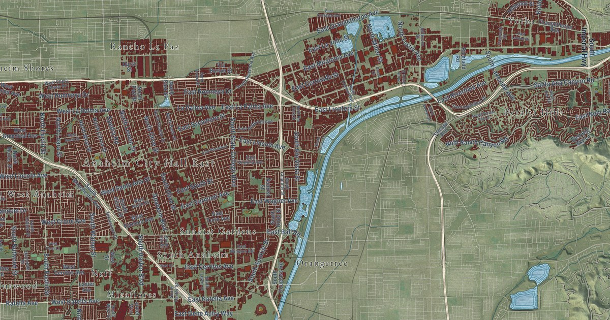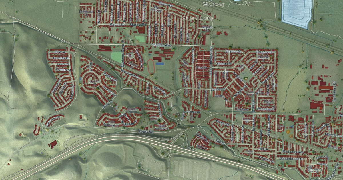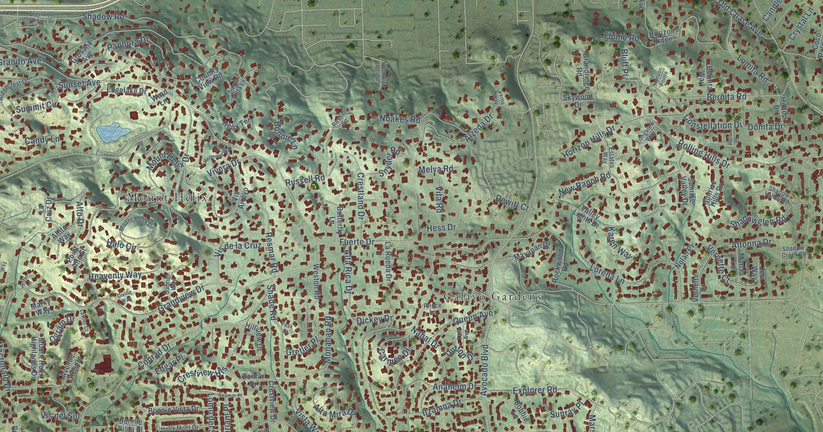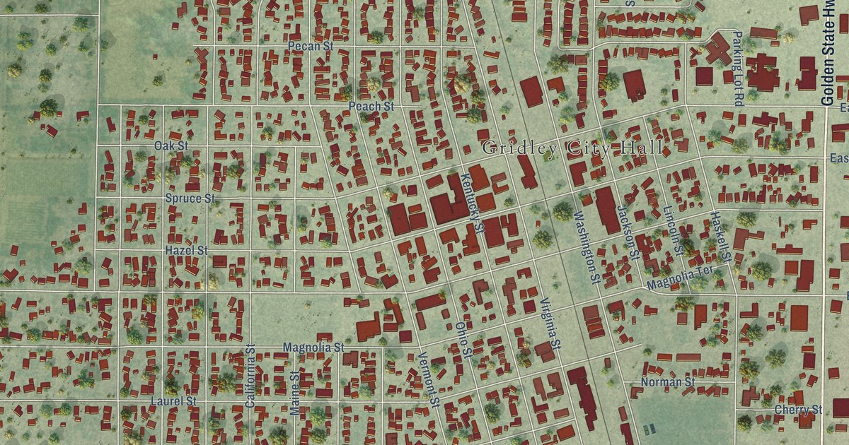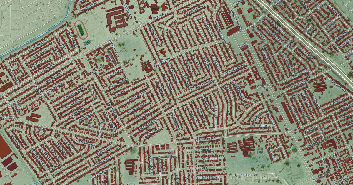
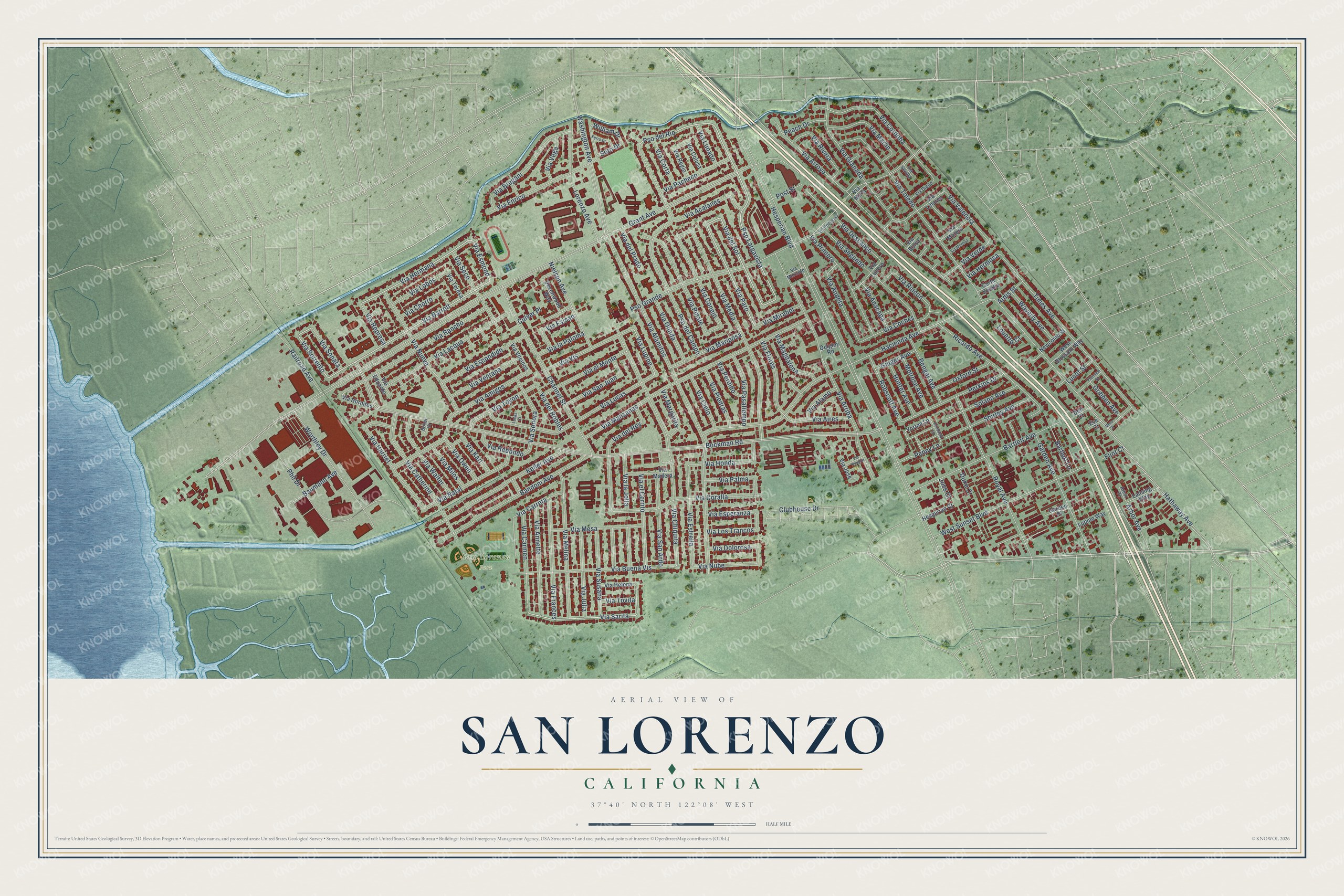
This beautifully detailed map of San Lorenzo, California was created in 2026 using aerial imagery combined with modern topographical, census, street and landmark data. It's a modern aerial view of San Lorenzo in Alameda County, California, that combines modern data with a vintage aesthetic. The roads feature printed names, and if you look closely you can find your exact house accurately shown in its correct location.
Explore an aerial view of San Lorenzo, California
On this map you'll find San Lorenzo Park, Pso Largavista, Via Barrett, Via Paro, Via del Sol, Pso del Rio, Via Sorrento, Via Esmond, Via Granada, Via Hermana, Via Sarita, Via la Jolla, and more. Each red shape is a building, so zoom in on the preview and look for yours.
San Lorenzo is a community in Alameda County. The Census Bureau counted 29,581 people here in 2020. The map prints the town name in its title panel, with the coordinates below it.
Take a closer look at the San Lorenzo map
Names on this map
These names are printed on this map.
Places: San Lorenzo Park.
Streets and roads: Pso Largavista, Via Barrett, Via Paro, Via del Sol, Pso del Rio, Via Sorrento, Via Esmond, Via Granada, Via Hermana, Via Sarita, Via la Jolla, Via Lupine.
More street names, A to Z
Arbor Avenue, Arbor Court, Ardis Street, Bandoni Avenue, Bartlett Avenue, Bartlett Lane, Baumann Avenue, Bengal Avenue, Bockman Road, Boxer Court, Channel Street, Clubhouse Drive, Corte Eulalia, Culver Place, Dell Court, Devonwood Way, Duke Court, Eve Court, Ferro Drive, Flint Court, Florence Street, Garden Avenue, Garden Place, Ginger Avenue, Grant Avenue, Gribben Avenue, Hacienda Avenue, Hathaway Avenue, Hesperian Boulevard, Hesperian Court, Hunter Avenue, Joss Court, Keller Avenue, Kentfield Lane, Lansing Way, Lorenzo Avenue, Louette Court, Lucas Court, Lucot Street, Lupine Way, Melrose Avenue, Mero Street, Newcomb Street, Nielson Avenue, Oxford Street, Peach Drive, Penny Lane, Perkins Drive, Phil Drive, Post Street, Pso del Campo, Pso Grande, Quigley Road, Railroad Avenue, Ricardo Avenue, Robscott Avenue, Royal Avenue, Shirley Avenue, Solano Avenue, Soto Drive, Times Avenue, Via Acalanes, Via Aires, Via Alamitos, Via Alamo, Via Amigos, Via Anacapa, Via Andeta, Via Annette, Via Arriba, Via Arroyo, Via Bolsa, Via Bregani, Via Buena Vis, Via Carmen, Via Carreta, Via Catherine, Via Chiquita, Via Chorro, Via Cielo, Via Coches, Via Colusa, Via Conejo, Via Coralla, Via Cordoba, Via Corta, Via del Prado, Via del Rey, Via del Robles, Via Descanso, Via Diego, Via Dolorosa, Via Eduardo, Via el Cerrito, Via el Monte, Via Enrico, Via Escondido, Via Esperanza, Via Estrella, Via Faisan, Via Flores, Via Frances, Via Harriet, Via Helena, Via Hermosa, Via Honda, Via Hornitos, Via Jose, Via Julia, Via Karl, Via Lacqua, Via la Paloma, Via Linares, Via Lobos, Via Los Trancos, Via Lucas, Via Lucero, Via Lunado, Via Madera, Via Magdalena, Via Manzanas, Via Margarita, Via Mariposa, Via Marlin, Via Matero, Via Media, Via Melina, Via Mercado, Via Mesa, Via Milos, Via Mirabel, Via Mirlo, Via Morella, Via Natal, Via Nube, Via Nueva, Via Olinda, Via Owen, Via Pacheco, Via Palma, Via Pasatiempo, Via Perdido, Via Piedras, Via Pinale, Via Poudre, Via Primero, Via Rancho, Via Redondo, Via Regio, Via Represa, Via Rincon, Via Rivera, Via Rodriguez, Via San Ardo, Via San Juan, Via Seco, Via Segundo, Via Sevilla, Via Sonata, Via Sonora, Via Susana, Via Teresa, Via Toledo, Via Tovita, Via Toyon, Via Valencia, Via Vecinos, Via Vega, Via Ventana, Via Verde, Via Vis, Via Walter, Washington Avenue, Waverly Avenue, West Blossom Way, West Sunset Boulevard, William Drive, Worthley Drive, Yorton Lane.
Created by KNOWOL in 2026. The buildings are small red shapes, the roads carry their printed names, and shaded relief shows the shape of the land. The title panel reads "AERIAL VIEW OF SAN LORENZO CALIFORNIA" with 37°40' NORTH 122°08' WEST.
It looks right in a kitchen, an office or a den, and it's a gift for anyone who grew up in San Lorenzo or moved away. Open the preview and find your street. See sizes and frames for the San Lorenzo map.