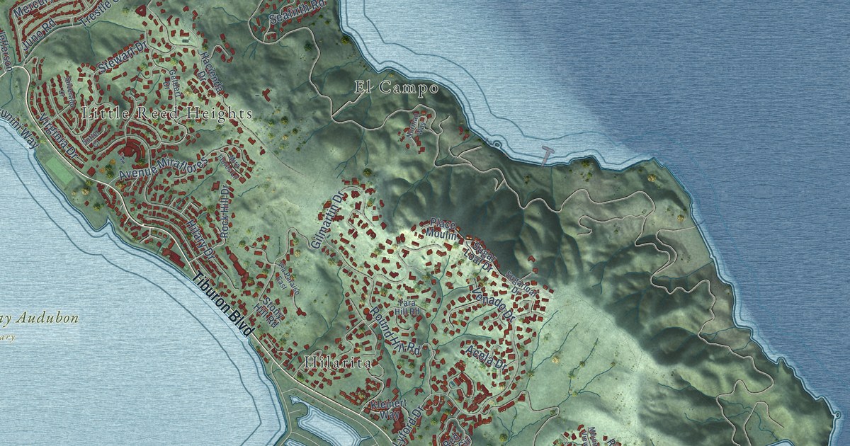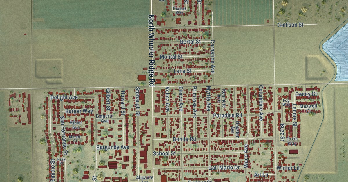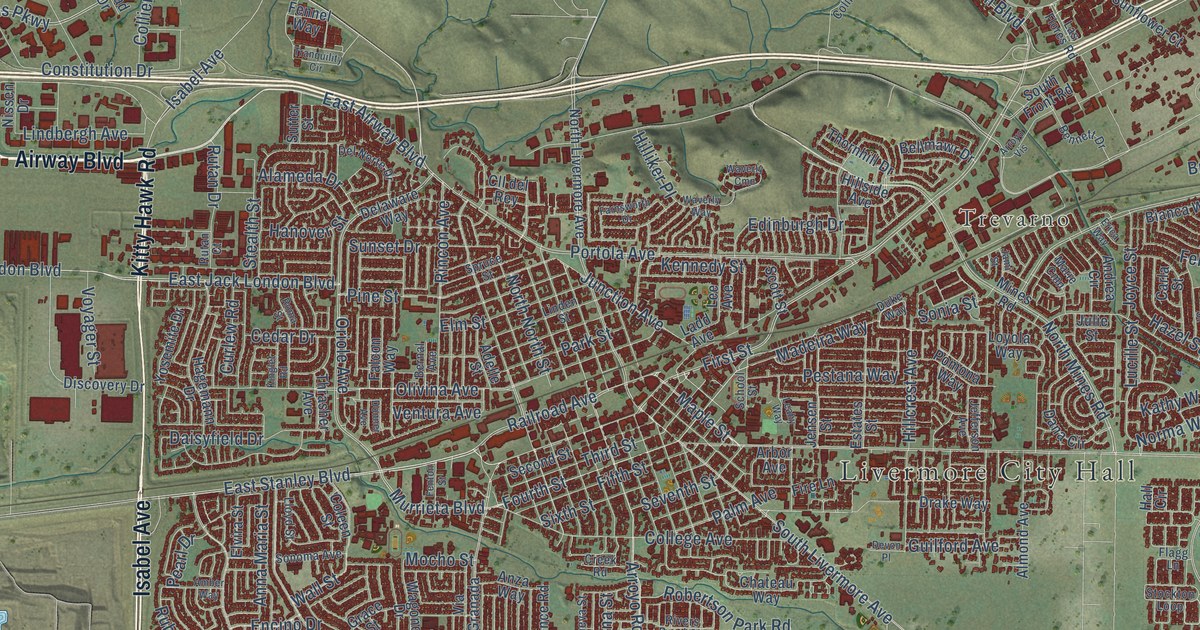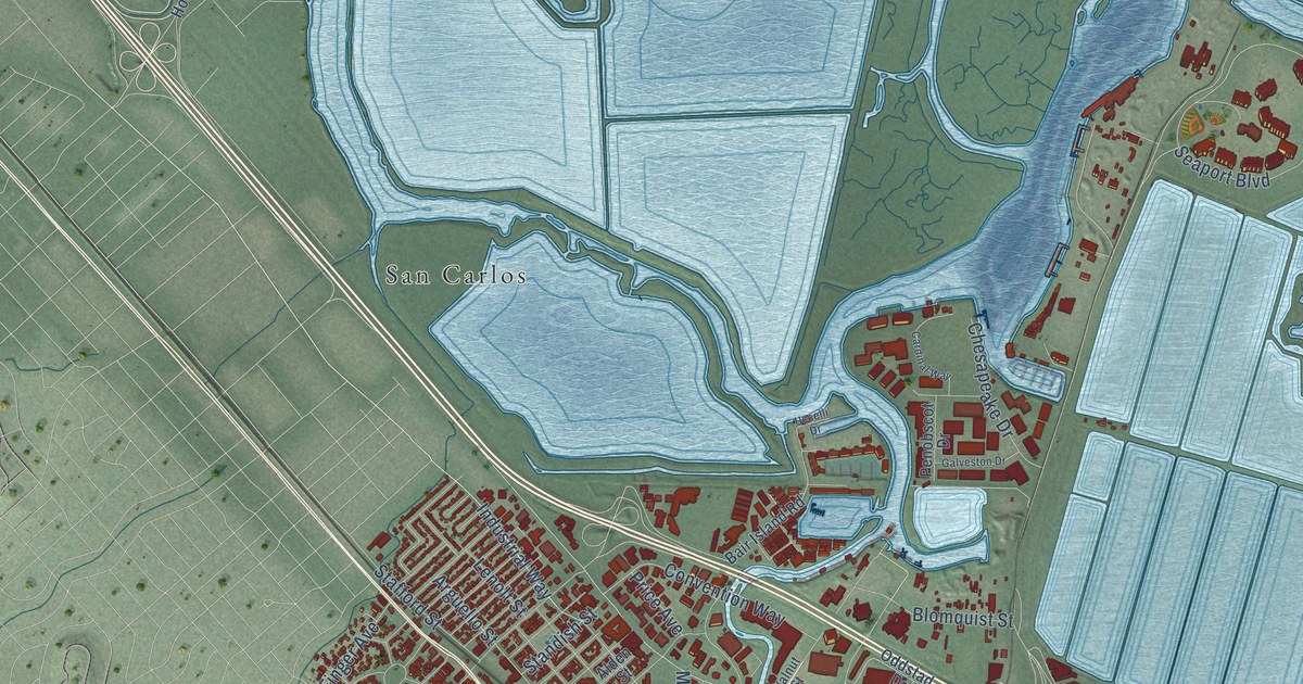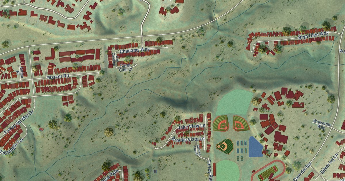
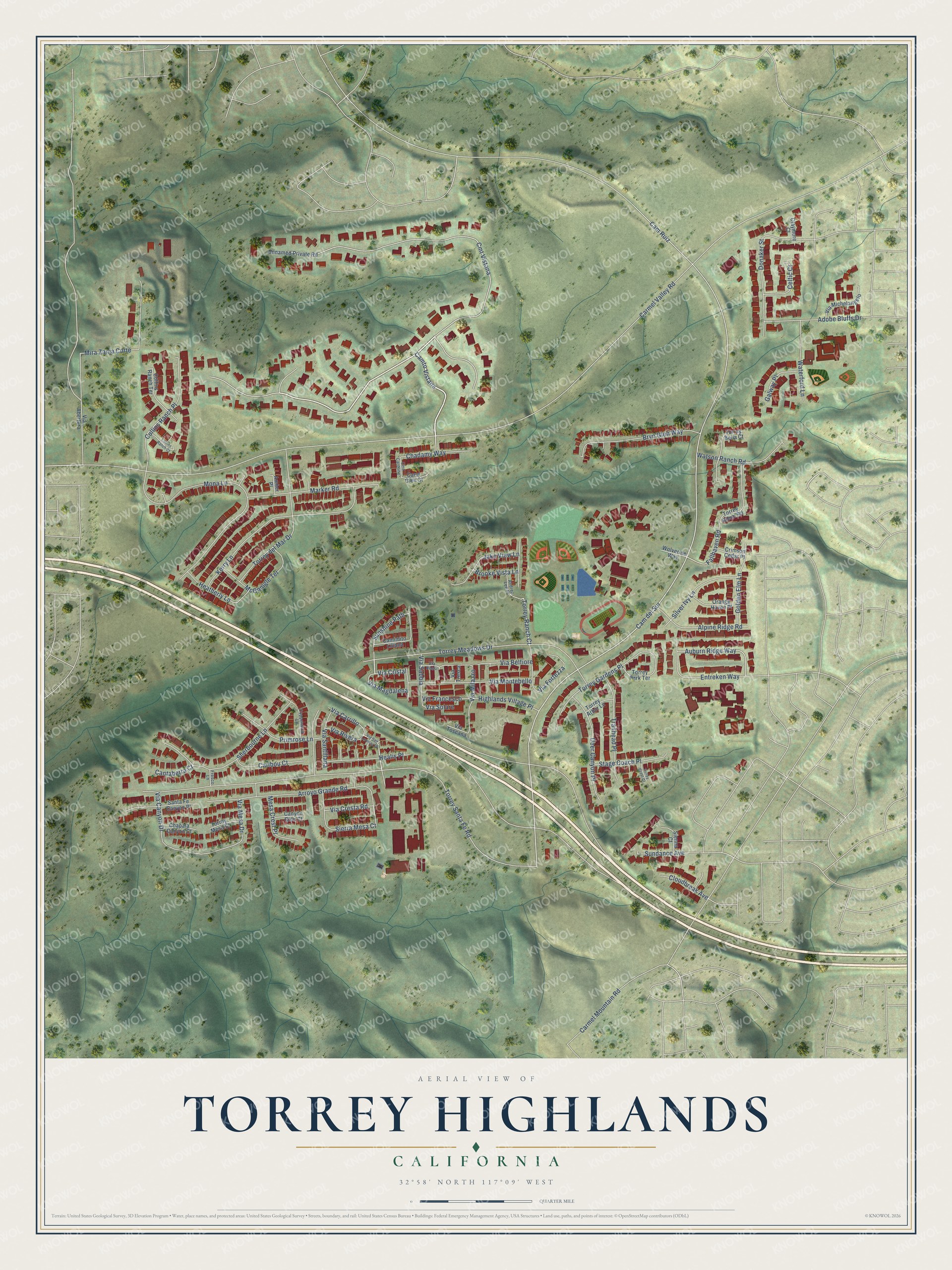
This beautifully detailed map of Torrey Highlands, California was created in 2026 using aerial imagery combined with modern topographical, census, street and landmark data. It's a modern aerial view of Torrey Highlands in San Diego County, California, that combines modern data with a vintage aesthetic. The roads feature printed names, and if you look closely you can find your exact house accurately shown in its correct location.
Explore an aerial view of Torrey Highlands, California
On this map you'll find Cmt Vistana, Camto Vistana, Cam del Sur, Fallhaven Road, Torrey Ranch Court, Carmel Valley Road, Torrey Santa Fe Road, Torrey Meadows Drive, Cam Ruiz, Mona Lane, Arroyo Grande Road, Kerry Lane, and more. Each red shape is a building, so zoom in on the preview and look for yours.
Torrey Highlands has a story worth telling. The City of San Diego puts it this way: "The Torrey Highlands Subarea Plan was approved in 1996 by the City Council and by the voters of the City of San Diego."
Torrey Highlands is a place in San Diego County.
Take a closer look at the Torrey Highlands map
Names on this map
These names are printed on this map.
Streets and roads: Cmt Vistana, Camto Vistana, Cam del Sur, Fallhaven Road, Torrey Ranch Court, Carmel Valley Road, Torrey Santa Fe Road, Torrey Meadows Drive, Cam Ruiz, Mona Lane, Arroyo Grande Road, Kerry Lane.
More street names, A to Z
Adobe Bluffs Drive, Alpine Ridge Road, Amber Place, Andrea Lee Place, Auburn Ridge Way, Brooke Vista Lane, Bryn Glen Way, Camimito Liliana, Cantaberra Court, Canyon Glen Court, Caribou Court, Carmel Mountain Road, Carol Glen Court, Celtic Court, Chadamy Way, Chapala Canyon Court, Claymore Court, Cloudbreak Avenue, Cmt Caroline, Collins Ranch Court, Collins Ranch Place, Collins Ranch Terrace, Copperwind Lane, Crimson Cedar Place, Deer Canyon Place, Donaker Street, Entreken Way, Fresco Lane, Galway Place, Golden Elm Lane, Healis Place, Heatherly Lane, Highlands Village Place, Jake View Lane, Marker Road, McGonigle Terrace, Mesa Crest Place, Mira Zanja Corte, Orange Haven Place, Primrose Lane, Santa Fe Canyon Place, Sherbourne Lane, Sienna Court, Sierra Mesa Court, Silver Ivy Lane, Stage Coach Place, Sundance Avenue, Sunshine Path, Torrey Arbor Lane, Torrey Bella Court, Torrey Crest Court, Torrey del Mar Drive, Torrey Gardens Place, Torrey Glenn Road, Torrey Mesa Court, Torrey Park Terrace, Trailhead Place, Unnamed Private Road, Via Abertura, Via Belfiore, Via Canyon Drive, Via Carrillo, Via Cresta Road, Via Cristal, Via Fortezza, Via Francesco, Via Magdalena, Via Mesa Drive, Via Michelangelo, Via Milazzo, Via Montebello, Via Rivera, Via Rossi, Via Sabbia, Via San Lorenza Drive, Via Santillana, Via Solare, Via Toscana, Via Tresca, Waterford Lane, Watson Ranch Road, Wolverine Way.
Created by KNOWOL in 2026. The buildings are small red shapes, the roads carry their printed names, and shaded relief shows the shape of the land. The title panel reads "AERIAL VIEW OF TORREY HIGHLANDS CALIFORNIA" with 32°58' NORTH 117°09' WEST.
It looks right in a kitchen, an office or a den, and it's a gift for anyone who grew up in Torrey Highlands or moved away. Open the preview and find your street. See sizes and frames for the Torrey Highlands map.