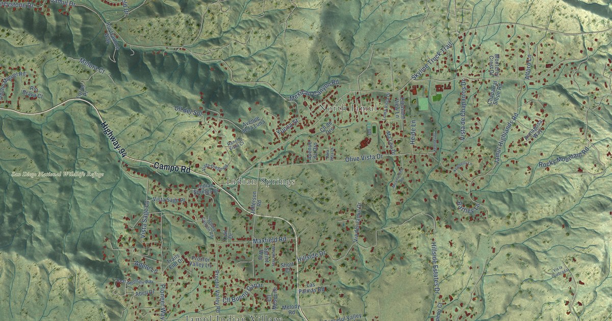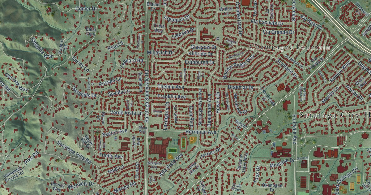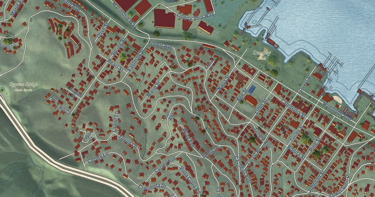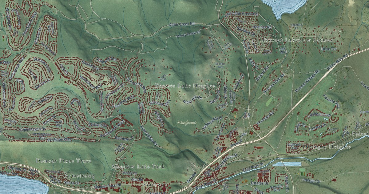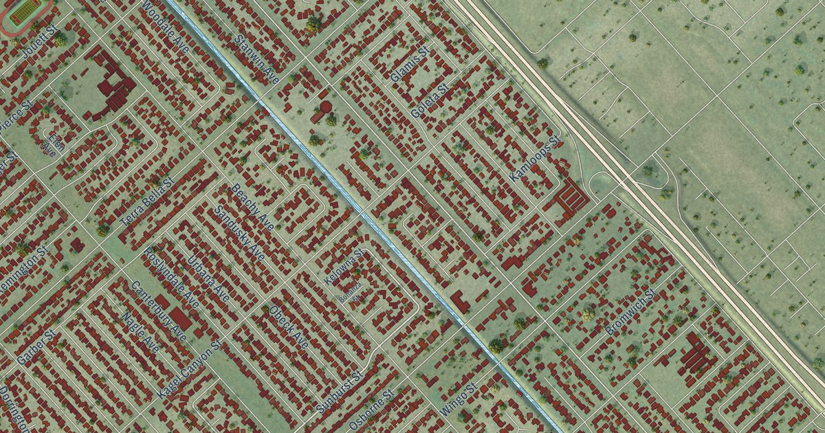
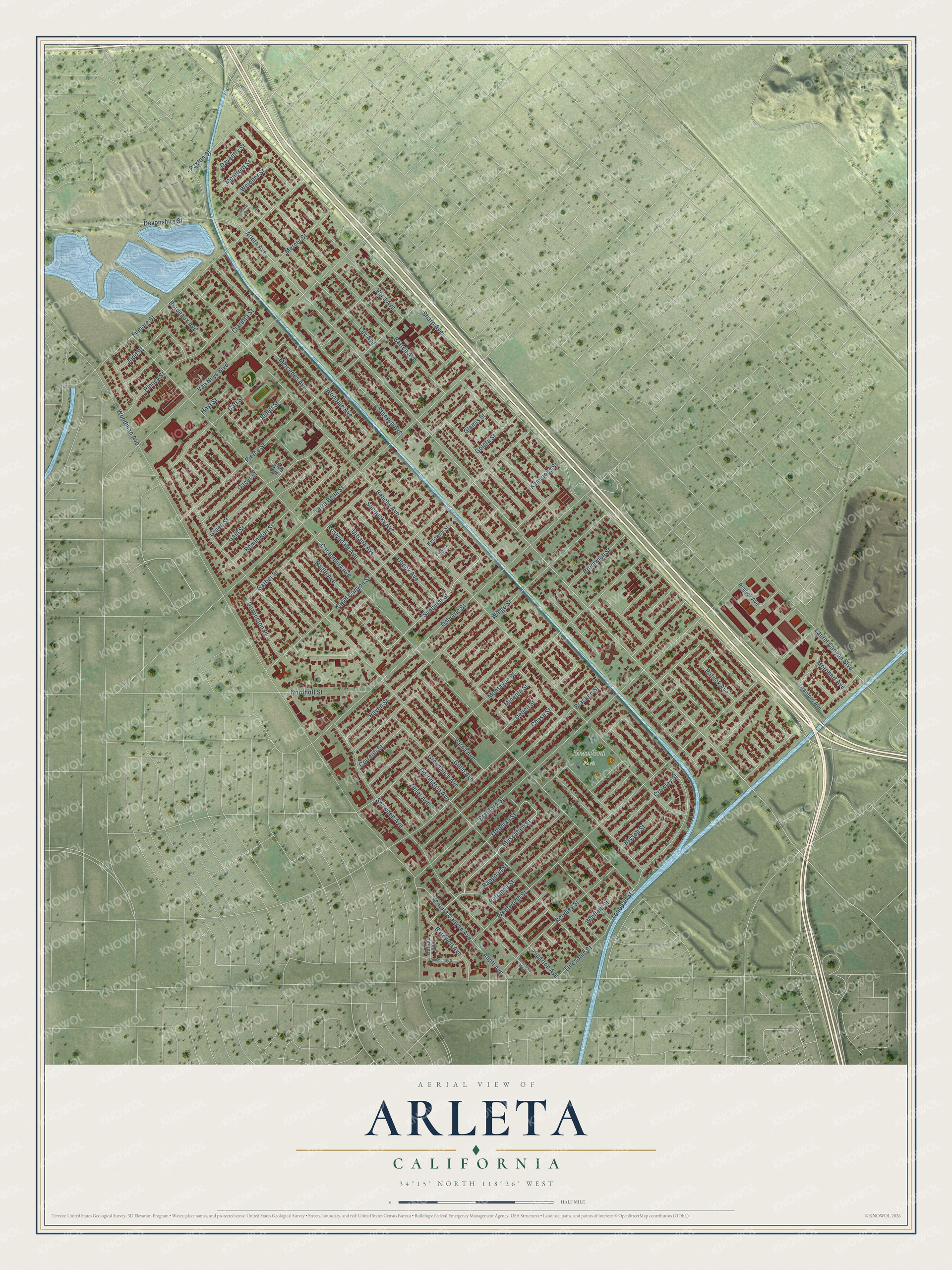
This beautifully detailed map of Arleta, California was created in 2026 using aerial imagery combined with modern topographical, census, street and landmark data. It's a modern aerial view of Arleta in Los Angeles County, California, that combines modern data with a vintage aesthetic. The roads feature printed names, and if you look closely you can find your exact house accurately shown in its correct location.
Explore an aerial view of Arleta, California
On this map you'll find Branford Park, Nagle Avenue, Muscatine Street, Sunburst Street, Woodale Avenue, Arleta Avenue, Ottoman Street, Canterbury Avenue, Beachy Avenue, Sharp Avenue, Dorrington Avenue, Lev Avenue, and more. Each red shape is a building, so zoom in on the preview and look for yours.
Arleta has a story worth telling. The Historical Marker Database puts it this way: "Because of the heavy casualties being inflicted on his company, Private First Class Muranaga, who served as a gunner, attempted to neutralize the 88mm weapon alone."
Arleta is a place in Los Angeles County.
Take a closer look at the Arleta map
Names on this map
These names are printed on this map.
Places: Branford Park.
Streets and roads: Nagle Avenue, Muscatine Street, Sunburst Street, Woodale Avenue, Arleta Avenue, Ottoman Street, Canterbury Avenue, Beachy Avenue, Sharp Avenue, Dorrington Avenue, Lev Avenue, Vena Avenue.
More street names, A to Z
Allott Avenue, Bardwell Avenue, Bartee Avenue, Beechtree Way, Bonanza Street, Bordeaux Avenue, Bracken Street, Branford Street, Bromwich Street, Bryson Street, Buffalo Avenue, Carl Street, Chase Street, Claretta Street, Community Street, Correnti Street, Cranford Avenue, Crowley Street, Daventry Street, Debell Street, Devonshire Street, Dorrington Place, Elon Avenue, Filmore Street, Gager Street, Gain Street, Garber Street, Glamis Street, Goleta Street, Greenbush Avenue, Gruen Street, Gullo Avenue, Hoyt Street, Jouett Street, Judd Street, Kagel Canyon Street, Kamloops Street, Kelowna Street, Laurel Canyon Boulevard, Louvre Street, Mercedes Avenue, Mercer Street, Mineola Street, Montague Street, Montford Street, Morehart Avenue, Nordhoff Street, Obeck Avenue, Osborne Street, Patrick Avenue, Paxton Street, Pierce Street, Pinney Street, Rangoon Street, Rayen Street, Reedley Street, Reliance Street, Remick Avenue, Remington Street, Roslyndale Avenue, Sandusky Avenue, Snowden Avenue, Sparton Avenue, Stanwin Avenue, Terra Bella Street, Tonopah Street, Truesdale Street, Urbana Avenue, Van Nuys Boulevard, Varna Avenue, Ventura Canyon Avenue, Weidner Street, Wentworth Street, Winfield Street, Wingo Street, Woodman Avenue, Zeiler Avenue.
Created by KNOWOL in 2026. The buildings are small red shapes, the roads carry their printed names, and shaded relief shows the shape of the land. The title panel reads "AERIAL VIEW OF ARLETA CALIFORNIA" with 34°15' NORTH 118°26' WEST.
It looks right in a kitchen, an office or a den, and it's a gift for anyone who grew up in Arleta or moved away. Open the preview and find your street. See sizes and frames for the Arleta map.