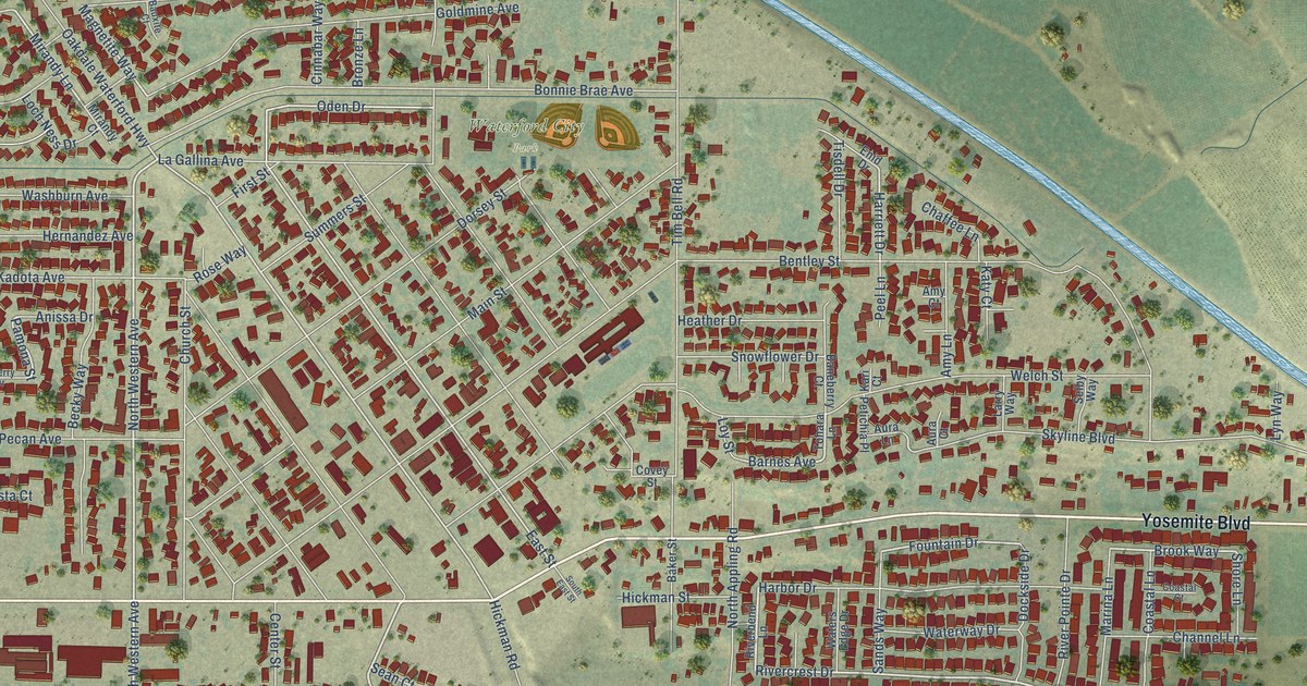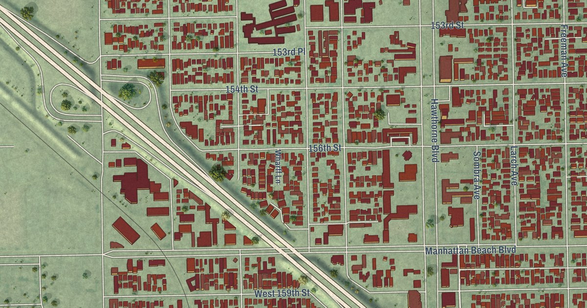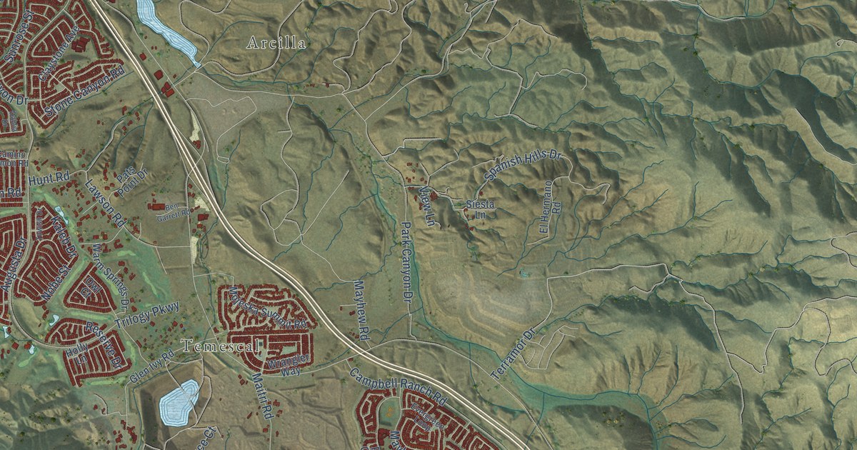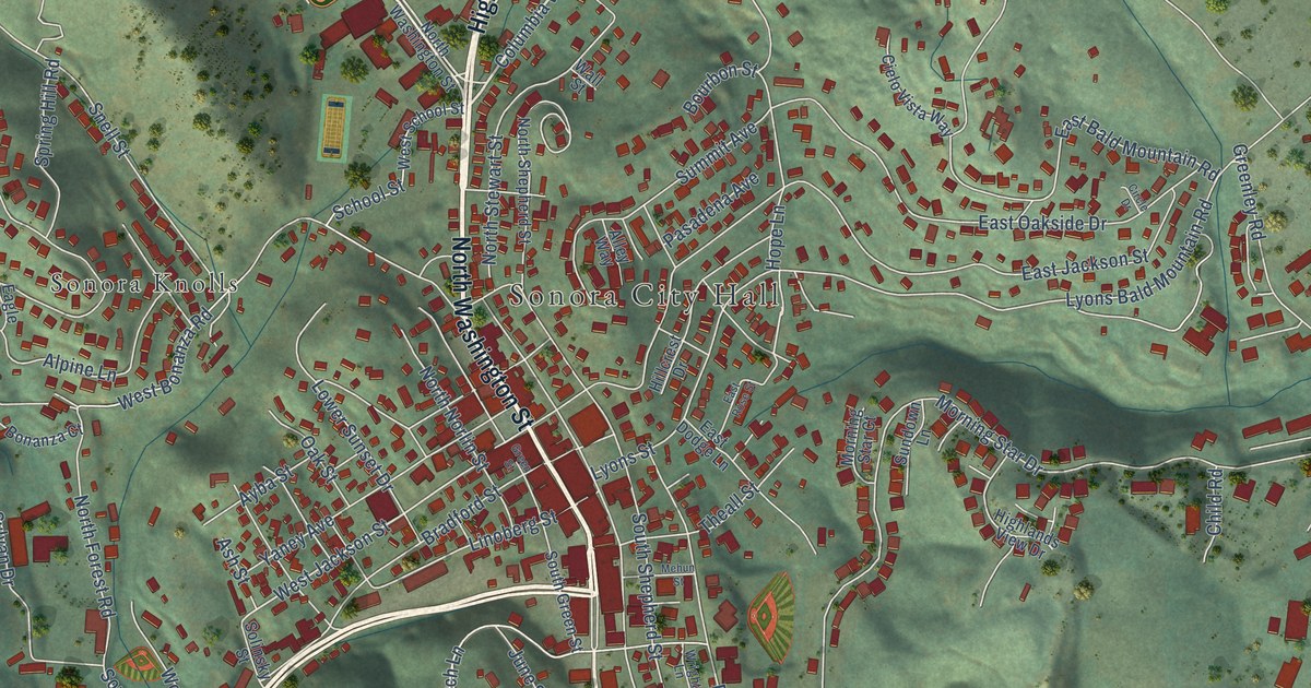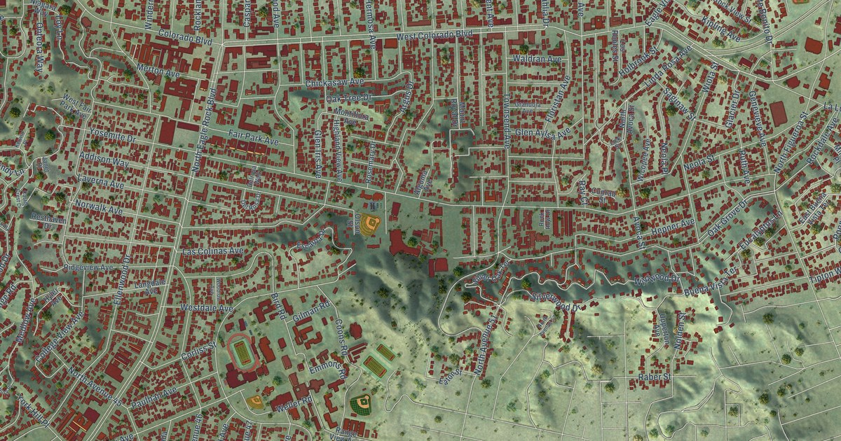
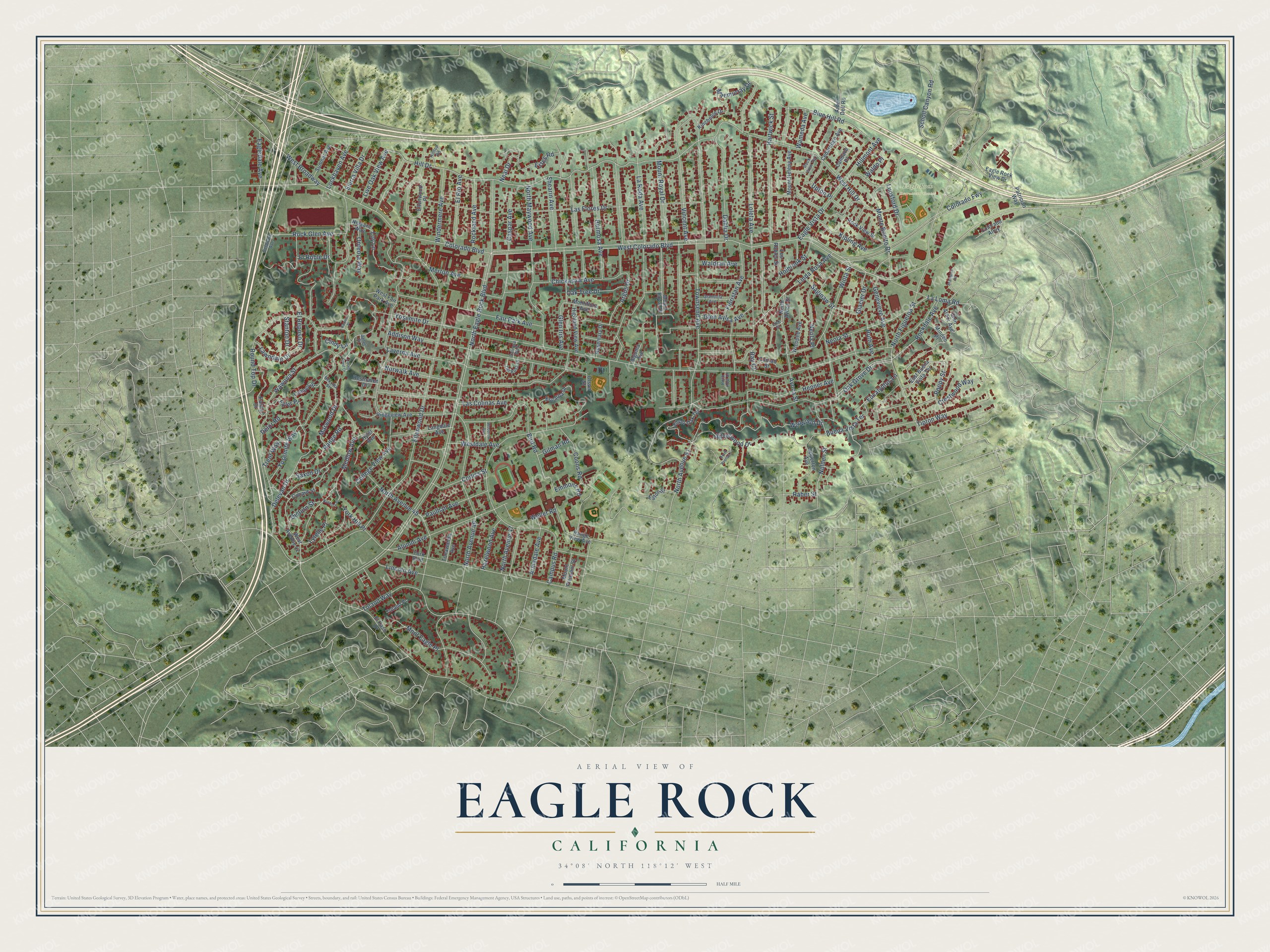
This beautifully detailed map of Eagle Rock, California was created in 2026 using aerial imagery combined with modern topographical, census, street and landmark data. It's a modern aerial view of Eagle Rock in Los Angeles County, California, that combines modern data with a vintage aesthetic. The roads feature printed names, and if you look closely you can find your exact house accurately shown in its correct location.
Explore an aerial view of Eagle Rock, California
On this map you'll find Eagle Rock Recreation Center, Colorado Boulevard, Poppy Street, West Colorado Boulevard, Glacier Drive, Hill Drive, Norwalk Avenue, Mount Royal Drive, North Eagle Rock Boulevard, Yosemite Drive, Las Flores Drive, Townsend Avenue, and more. Each red shape is a building, so zoom in on the preview and look for yours.
Eagle Rock is a place in Los Angeles County. The map prints the town name in its title panel, with the coordinates below it.
Take a closer look at the Eagle Rock map
Names on this map
These names are printed on this map.
Places: Eagle Rock Recreation Center.
Streets and roads: Colorado Boulevard, Poppy Street, West Colorado Boulevard, Glacier Drive, Hill Drive, Norwalk Avenue, Mount Royal Drive, North Eagle Rock Boulevard, Yosemite Drive, Las Flores Drive, Townsend Avenue, Ellenwood Drive.
More street names, A to Z
Addison Way, Algoma Avenue, Alumni Avenue, Arbor Dell Road, Argus Drive, Armadale Avenue, Avoca Street, Banbury Place, Bird Road, Blue Hill Road, Brampton Road, Buena Vista Terrace, Campus Road, Candace Place, Caspar Avenue, Castle Crest Drive, Cedaredge Avenue, Chickasaw Avenue, Cindy Lane, College View Avenue, Colorado Alley, Colorado Fwy, Conrad Street, Coons Road, Corliss Street, Crestwood Way, Cunard Street, Dahlia Drive, Delaware Avenue, Delevan Drive, Delor Road, Del Rosa Drive, Delrosa Walk, Dicturn Street, Eagledale Avenue, Eagle Rock View Drive, Eagle Vista Drive, East Buena Vista Terrace, Eaton Street, Ellenwood Place, El Paso Drive, El Reposo Drive, El Rio Avenue, El Roble Drive, Emmons Road, Escarpa Drive, Estes Road, Eucalyptus Lane, Fair Park Avenue, Floristan Avenue, Fyler Place, Genevieve Avenue, Gilman Road, Glen Arbor Avenue, Glen Aylsa Avenue, Glen Iris Avenue, Grandola Avenue, Hartwick Street, Hazelwood Avenue, Hepner Avenue, Hermosa Avenue, Highland View Avenue, Hillmont Avenue, Hilltop Road, Holbrook Street, Hyler Avenue, Janet Place, Kerwin Place, Kincheloe Drive, Kipling Avenue, La Loma Road, Langdale Avenue, La Roda Avenue, Las Colinas Avenue, Laverna Avenue, Lawndale Drive, Lick Street, Lincoln Avenue, Linda Rosa Avenue, Live Oak View Avenue, Lockhaven Avenue, Loleta Avenue, Lompoc Street, Los Robles Street, Loy Lane, Lunsford Drive, Lytelle Place, Maemurray Drive, Marwood Drive, Medlow Avenue, Merton Avenue, Minden Place, Mont Eagle Place, Monte Bonito Drive, Montiflora Avenue, Mount Helena Avenue, Mount Pleasant Street, Neal Drive, Nekoma Street, Neola Place, Neola Street, Niagara Way, Nolden Street, North Avenue 45, North Avenue 46, North Avenue 47, North Avenue 51, North Avenue 52, North Avoca Street, North Figueroa Street, North Maywood Avenue, Oak Grove Drive, Oak Tree Drive, Olson Street, Onteora Way, Palmer Drive, Patrician Way, Paulhan Avenue, Raber Street, Range Road, Range View Avenue, Ray Court, Resthaven Drive, Ridgeview Avenue, Rockdale Avenue, Rock Glen Avenue, Rockland Avenue, Rock Row Drive, Rock View Street, Rock View Terrace, Rosemary Drive, Round Top Drive, Ruth Avenue, Saginaw Street, Saxon Drive, Scholl Canyon Road, Shearin Avenue, Sierra Villa Drive, Silver Oak Terrace, Silverwood Drive, Stanton Drive, Sumner Avenue, Tipton Way, Toland Place, Toland Way, Tonawanda Avenue, Trent Way, Upperton Avenue, Upton Place, Vincent Avenue, Waldo Place, Waldran Avenue, Wameda Avenue, Wawona Street, Weller Road, West Avenue 42, West Broadway, Westdale Avenue, West Fair Park Avenue, West Hill Drive, Wicopee Avenue, Wildwood Drive, Windermere Avenue, Wiota Street, Woodrow Avenue, York Boulevard, York Hill Place, Yosemite Way.
Created by KNOWOL in 2026. The buildings are small red shapes, the roads carry their printed names, and shaded relief shows the shape of the land. The title panel reads "AERIAL VIEW OF EAGLE ROCK CALIFORNIA" with 34°08' NORTH 118°12' WEST.
It suits a den, a classroom or a front hall, and it makes a gift for anyone with Eagle Rock roots. Open the preview and find the block you know. See sizes and frames for the Eagle Rock map.