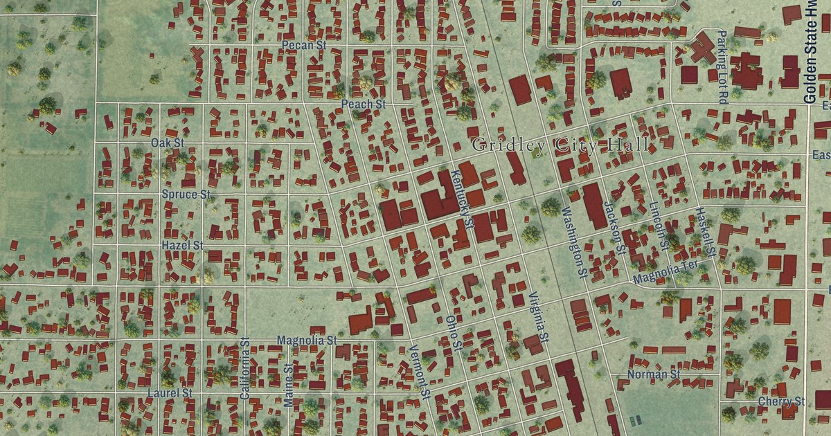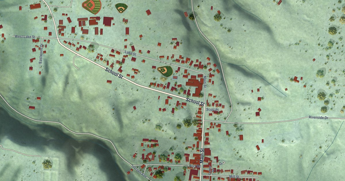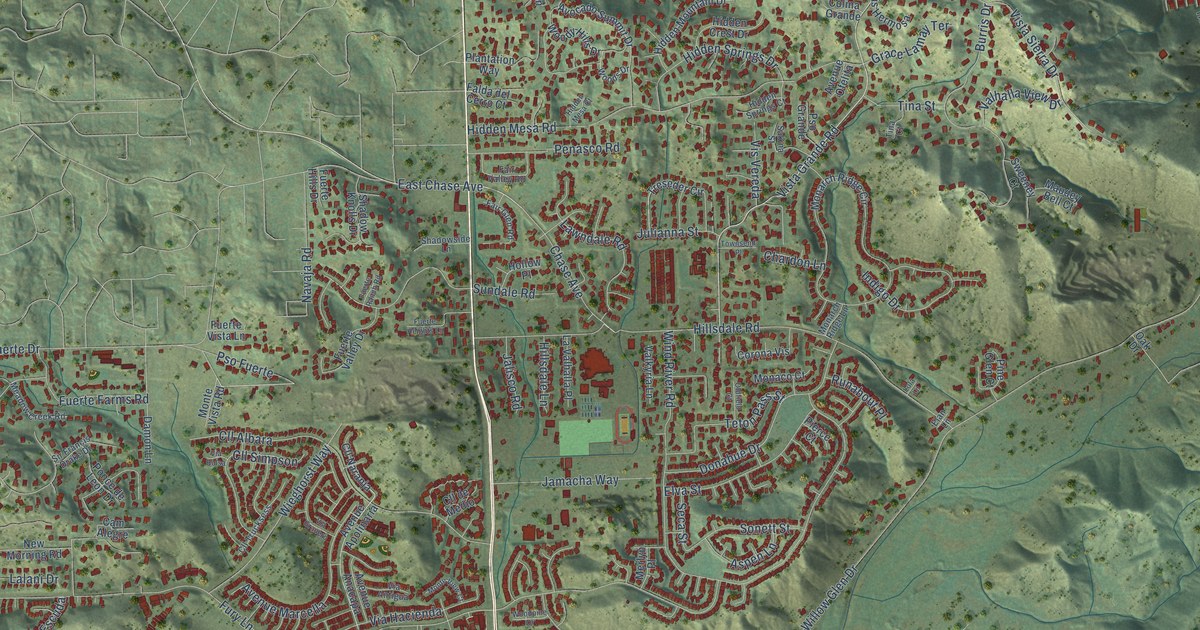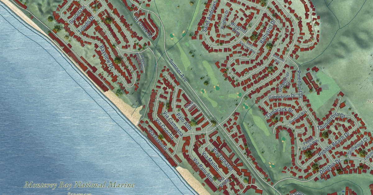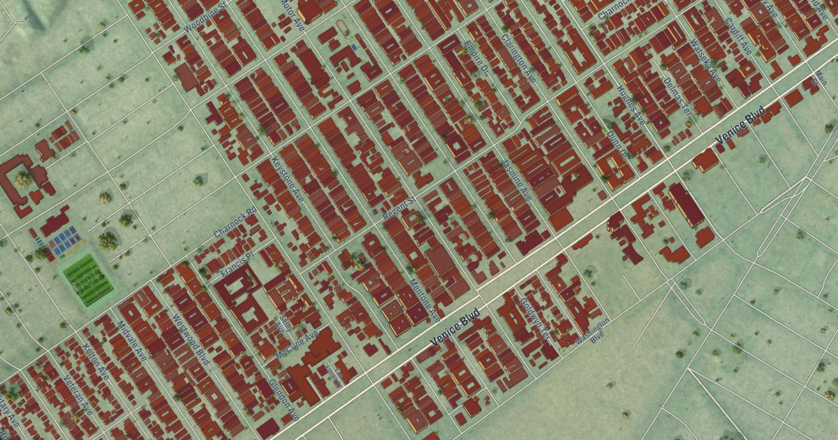
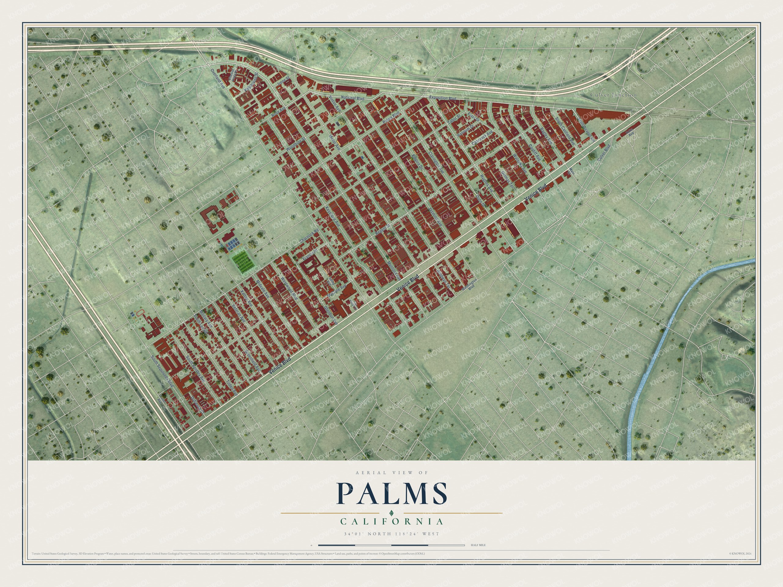
This beautifully detailed map of Palms, California was created in 2026 using aerial imagery combined with modern topographical, census, street and landmark data. It's a modern aerial view of Palms in Los Angeles County, California, that combines modern data with a vintage aesthetic. The roads feature printed names, and if you look closely you can find your exact house accurately shown in its correct location.
Explore an aerial view of Palms, California
On this map you'll find Culver Junction, Venice Boulevard, National Boulevard, Exposition Boulevard, Hughes Avenue, Regent Street, Overland Avenue, Motor Avenue, Keystone Avenue, Mentone Avenue, Vinton Avenue, Charnock Road, and more. Each red shape is a building, so zoom in on the preview and look for yours.
Every town has a first chapter, and Palms is no exception. The Los Angeles County History puts it this way: "In 1886, the parish at the Palms was organized and the present church edifice was erected by Father Hawe."
Palms is a place in Los Angeles County.
Take a closer look at the Palms map
Names on this map
These names are printed on this map.
Places: Culver Junction.
Streets and roads: Venice Boulevard, National Boulevard, Exposition Boulevard, Hughes Avenue, Regent Street, Overland Avenue, Motor Avenue, Keystone Avenue, Mentone Avenue, Vinton Avenue, Charnock Road, Clarington Avenue.
More street names, A to Z
Bagley Avenue, Cardiff Avenue, Charnock Avenue, Cheviot Vista Place, Culver Boulevard, Delmas Terrace, Dufresne Court, Dunn Drive, Empire Drive, Faris Drive, Francis Place, Glendon Avenue, Goldwyn Terrace, Greenfield Avenue, Hannum Drive, Hoke Avenue, Irene Street, Jasmine Avenue, Kelton Avenue, Las Flores Court, Main Street, McCune Avenue, Midvale Avenue, Military Avenue, Palms Boulevard, Rose Avenue, Selby Avenue, South Bentley Avenue, South Canfield Avenue, South Durango Avenue, South Luy Road, South Sepulveda Boulevard, Tabor Street, Tilden Avenue, Tuller Avenue, Valparaiso Street, Veteran Avenue, Washington Boulevard, Watseka Avenue, Westwood Boulevard, Woodbine Street.
Created by KNOWOL in 2026. The buildings are small red shapes, the roads carry their printed names, and shaded relief shows the shape of the land. The title panel reads "AERIAL VIEW OF PALMS CALIFORNIA" with 34°01' NORTH 118°24' WEST.
Hang it in the hallway, the office or the cabin, or give it to someone who left Palms and still calls it home. Open the preview and look for a street you know. See sizes and frames for the Palms map.