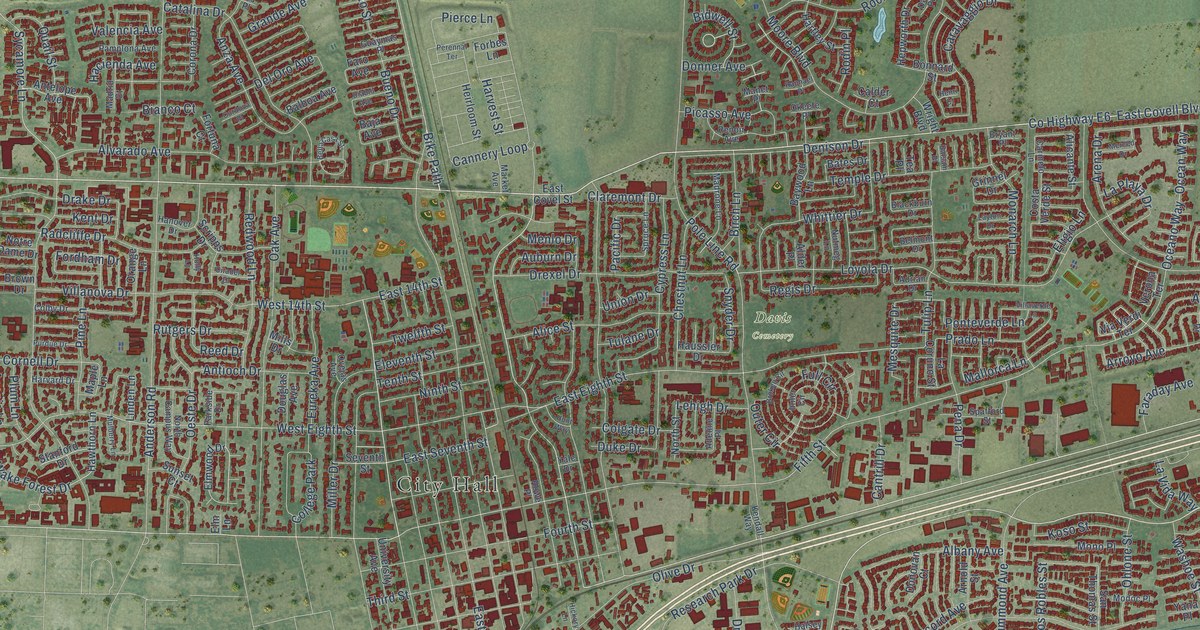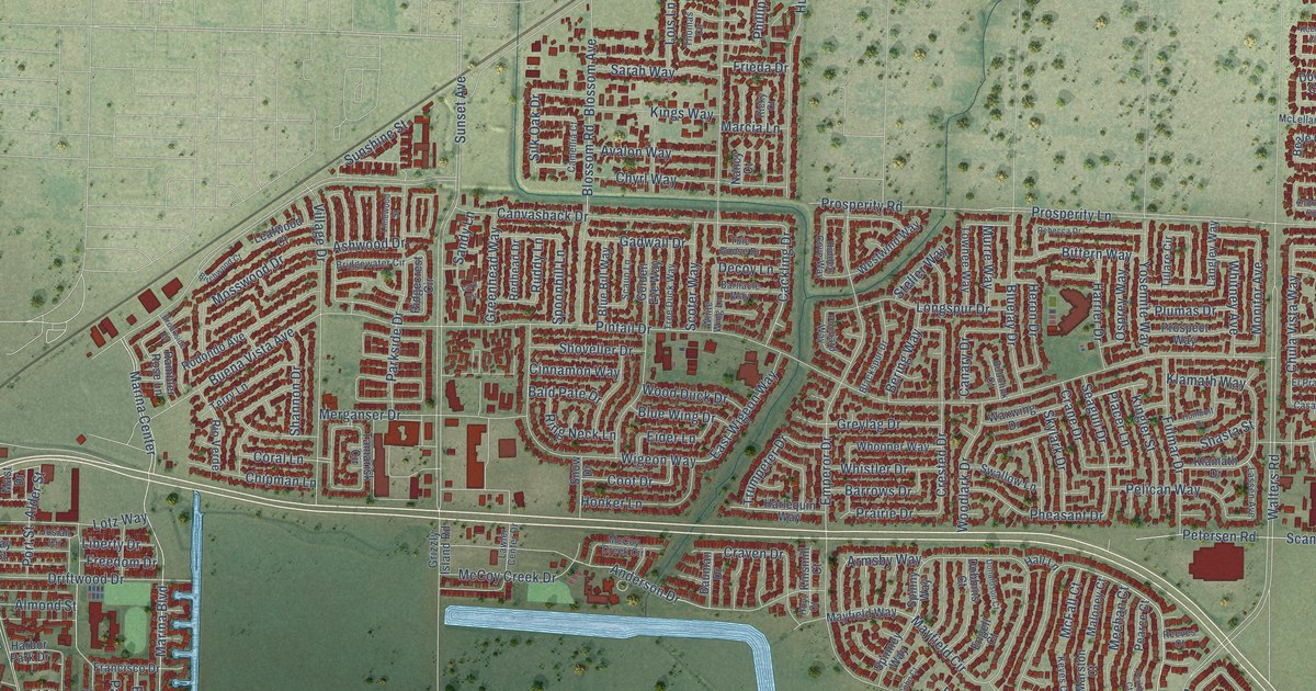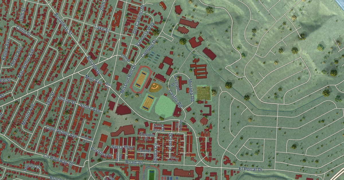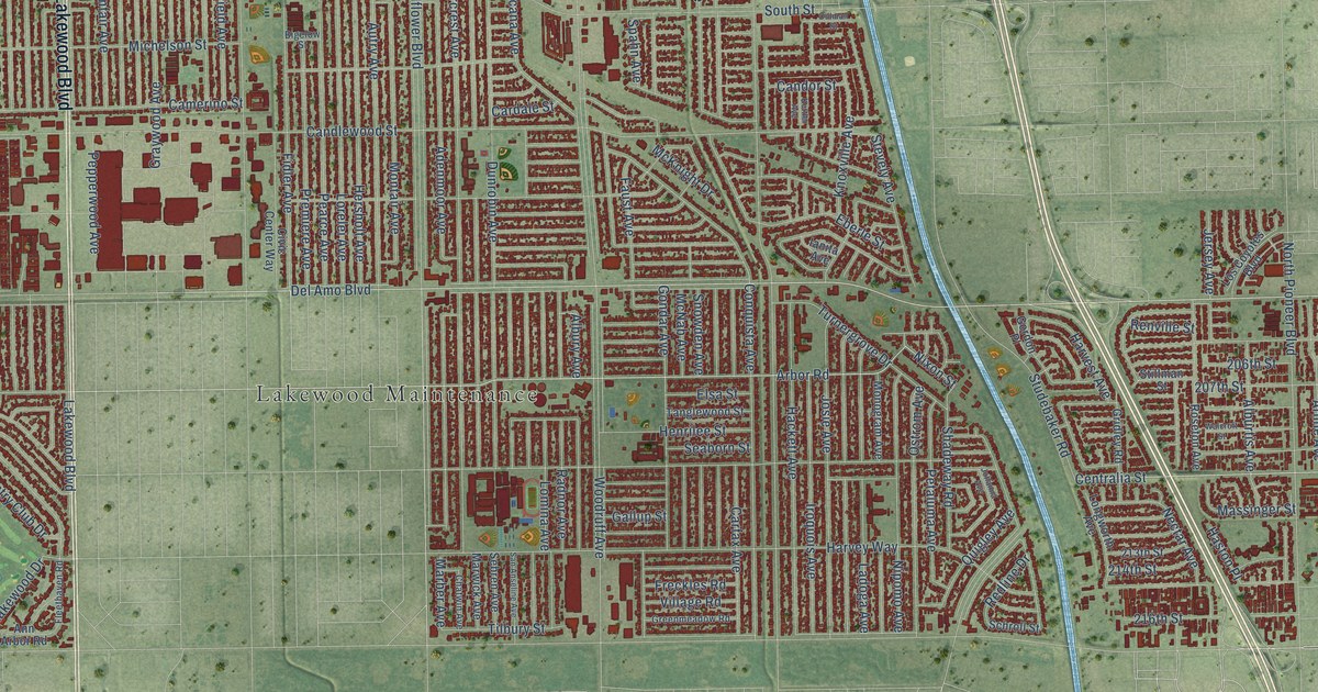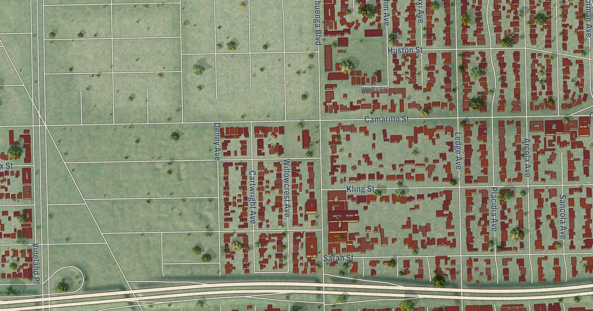
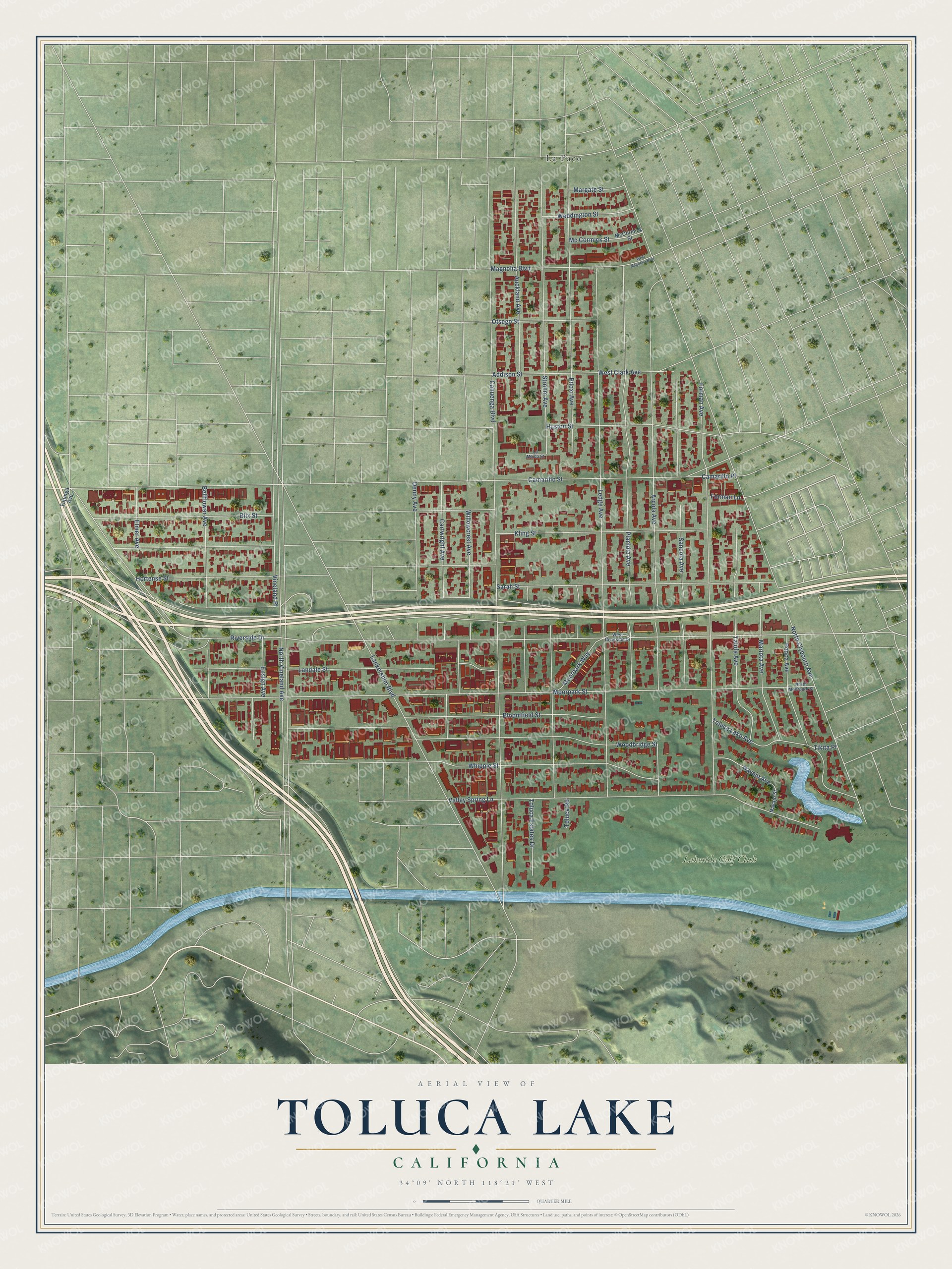
This beautifully detailed map of Toluca Lake, California was created in 2026 using aerial imagery combined with modern topographical, census, street and landmark data. It's a modern aerial view of Toluca Lake in Los Angeles County, California, that combines modern data with a vintage aesthetic. The roads feature printed names, and if you look closely you can find your exact house accurately shown in its correct location.
Explore an aerial view of Toluca Lake, California
On this map you'll find La Paco, Lakeside Golf Club, Riverside Drive, Moorpark Street, Sarah Street, Camarillo Street, Cahuenga Boulevard, Ledge Avenue, North Clybourn Avenue, Strohm Avenue, Forman Avenue, Valley Spring Lane, and more. Each red shape is a building, so zoom in on the preview and look for yours.
Toluca Lake is a place in Los Angeles County. The map prints the town name in its title panel, with the coordinates below it.
Take a closer look at the Toluca Lake map
Names on this map
These names are printed on this map.
Places: La Paco and Lakeside Golf Club.
Streets and roads: Riverside Drive, Moorpark Street, Sarah Street, Camarillo Street, Cahuenga Boulevard, Ledge Avenue, North Clybourn Avenue, Strohm Avenue, Forman Avenue, Valley Spring Lane, Kling Street, Arcola Avenue.
More street names, A to Z
Addison Street, Auckland Avenue, Bellflower Avenue, Biloxi Avenue, Blix Street, Bloomfield Street, Camarillo Place, Cartwright Avenue, Denny Avenue, Elmer Avenue, Ensign Avenue, Forman Lane, Hortense Street, Huston Street, La Maida Street, Landale Street, Lankershim Boulevard, Magnolia Boulevard, Margate Street, Mariota Avenue, Mc Cormick Street, McCormick Street, Moorpark Way, Navajo Avenue, Navajo Street, North Moorpark Street, North Vineland Avenue, Otsego Street, Placidia Avenue, Ponca Avenue, Sancola Avenue, Talofa Avenue, Tikita Place, Toluca Estates Drive, Toluca Lake Avenue, Toluca Road, Tujunga Avenue, Vineland Place, Weddington Street, West Clark Avenue, West Magnolia Boulevard, West Riverside Drive, Whipple Street, Willowcrest Avenue, Woodbridge Street.
Created by KNOWOL in 2026. The buildings are small red shapes, the roads carry their printed names, and shaded relief shows the shape of the land. The title panel reads "AERIAL VIEW OF TOLUCA LAKE CALIFORNIA" with 34°09' NORTH 118°21' WEST.
It looks right in a kitchen, an office or a den, and it's a gift for anyone who grew up in Toluca Lake or moved away. Open the preview and find your street. See sizes and frames for the Toluca Lake map.