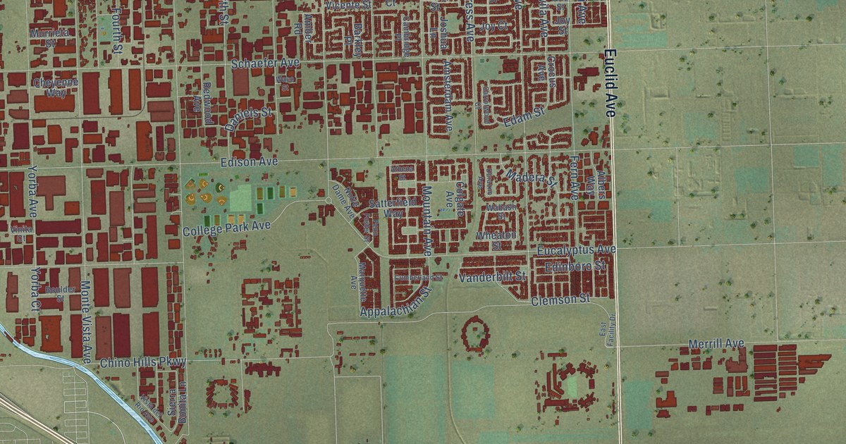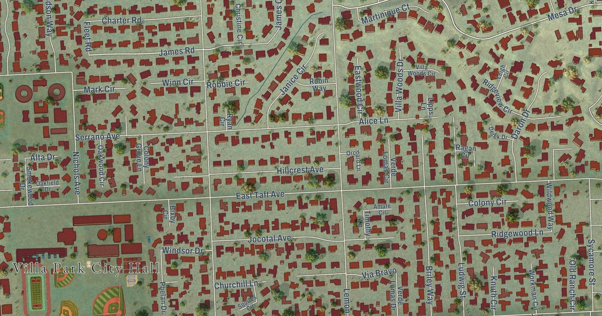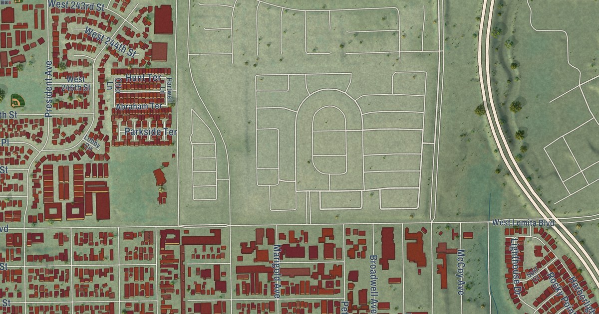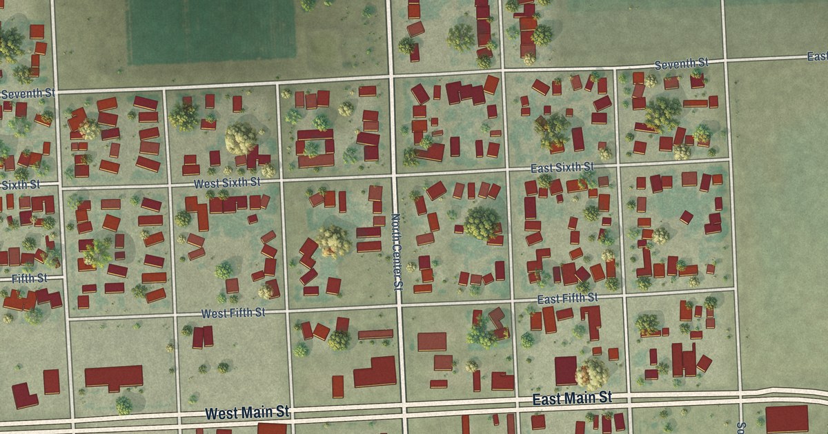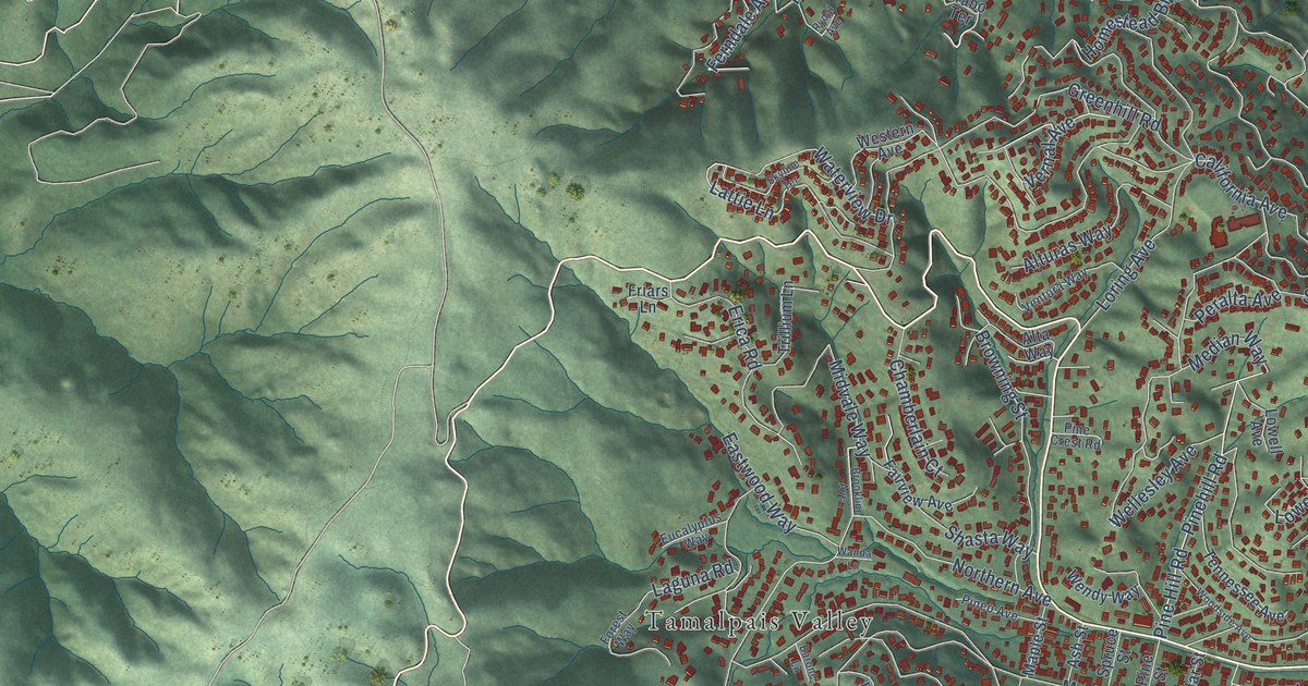
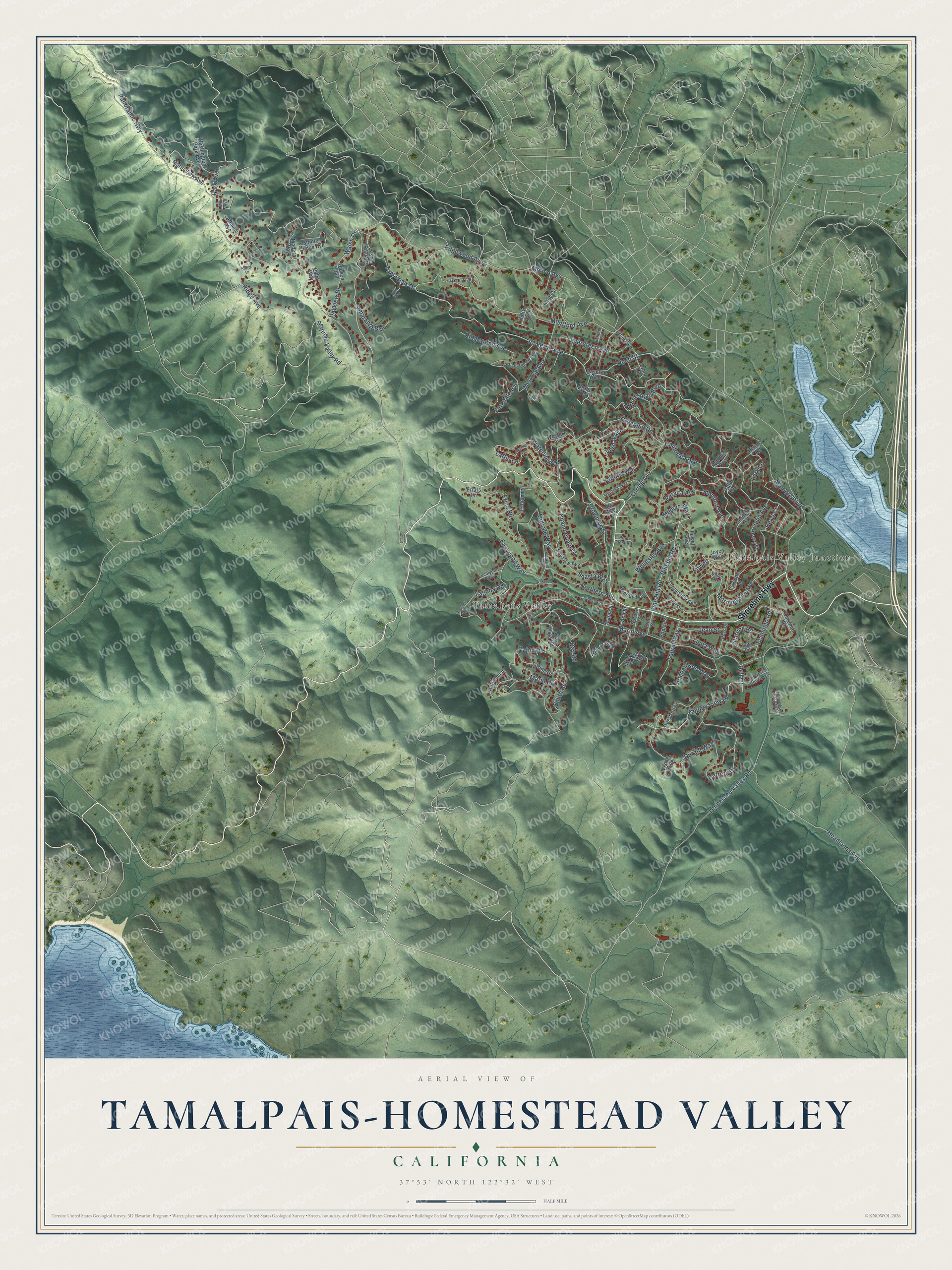
This beautifully detailed map of Tamalpais-Homestead Valley, California was created in 2026 using aerial imagery combined with modern topographical, census, street and landmark data. It's a modern aerial view of Tamalpais-Homestead Valley in Marin County, California, that combines modern data with a vintage aesthetic. The roads feature printed names, and if you look closely you can find your exact house accurately shown in its correct location.
Explore an aerial view of Tamalpais-Homestead Valley, California
On this map you'll find Tamalpais Valley, Tamalpais Valley Junction, Shoreline Highway, Sequoia Valley Road, Walsh Drive, Lattie Lane, Edgewood Avenue, Reed Street, Montford Avenue, Pine Hill Road, Pinehill Road, Ferndale Avenue, and more. Each red shape is a building, so zoom in on the preview and look for yours.
Tamalpais-Homestead Valley is a community in Marin County. The Census Bureau counted 11,492 people here in 2020. The map prints the town name in its title panel, with the coordinates below it.
Take a closer look at the Tamalpais-Homestead Valley map
Names on this map
These names are printed on this map.
Places: Tamalpais Valley and Tamalpais Valley Junction.
Streets and roads: Shoreline Highway, Sequoia Valley Road, Walsh Drive, Lattie Lane, Edgewood Avenue, Reed Street, Montford Avenue, Pine Hill Road, Pinehill Road, Ferndale Avenue, Panoramic Highway, Tennessee Valley Road.
More street names, A to Z
Adams Avenue, Almonte Boulevard, Alta Vista Road, Alta Way, Alturas Way, Amaranth Boulevard, Ash Street, Autumn Lane, Barone Lane, Bay Road, Bayview Drive, Bell Lane, Beryl Court, Brabo Terrace, Brookline Avenue, Browning Street, Cabin Drive, California Avenue, Cardinal Road, Carrera Drive, Castle Rock Drive, Chamberlain Court, Cleveland Avenue, County View Drive, Deertrail Lane, Dipsea Trail, Dolan Avenue, Durant Way, Eastwood Way, Enterprise Concourse, Erica Road, Ethel Avenue, Ethel Lane, Eucalyptus Way, Evergreen Avenue, Fairview Avenue, Flamingo Road, Forest Way, Friars Lane, Greene Street, Green Glen Way, Greenhill Road, Headlands Avenue, Holly Avenue, Homestead Boulevard, Janes Street, Jean Street, Joyce Way, Julia Avenue, Laguna Road, Lark Lane, Laurel Way, La Verne Avenue, Laverne Avenue, Lillian Lane, Linda Way, Live Oak Drive, Loring Avenue, Lowell, Lowell Avenue, Madera Way, Maple Street, Marin Avenue, Marin Drive, Marin View Avenue, Median Way, Melrose Avenue, Midvale Way, Molino Avenue, Monte Cimas Avenue, Morning Sun Avenue, Muir Avenue, Northern Avenue, North Ferndale Avenue, Palm Way, Park Avenue, Park Way, Peralta Avenue, Perry Street, Pine Crest Road, Pineo Avenue, Pine Street, Pixie Trail, Poplar Street, Richardson Way, Ridge Avenue, Ridge Lane, Ridgewood Avenue, Rising Road, Robin Road, Ross Drive, Rydal Avenue, Shasta Way, Skyline Terrace, Smith Road, Spring Drive, Spruce Street, Stadium Avenue, Stanford Avenue, Starling Road, Tamalpais Drive, Tennessee Avenue, Tennessee Glen Way, Trillium Lane, Ventura Way, Vernal Avenue, Vis de Valle, Wanda Lane, Washington Park Avenue, Waterview Drive, Wellesley Avenue, Wendy Way, Western Avenue, Woodside Avenue, Yale Avenue.
Created by KNOWOL in 2026. The buildings are small red shapes, the roads carry their printed names, and shaded relief shows the shape of the land. The title panel reads "AERIAL VIEW OF TAMALPAIS-HOMESTEAD VALLEY CALIFORNIA" with 37°53' NORTH 122°32' WEST.
Hang it in the hallway, the office or the cabin, or give it to someone who left Tamalpais-Homestead Valley and still calls it home. Open the preview and look for a street you know. See sizes and frames for the Tamalpais-Homestead Valley map.