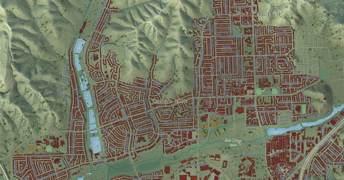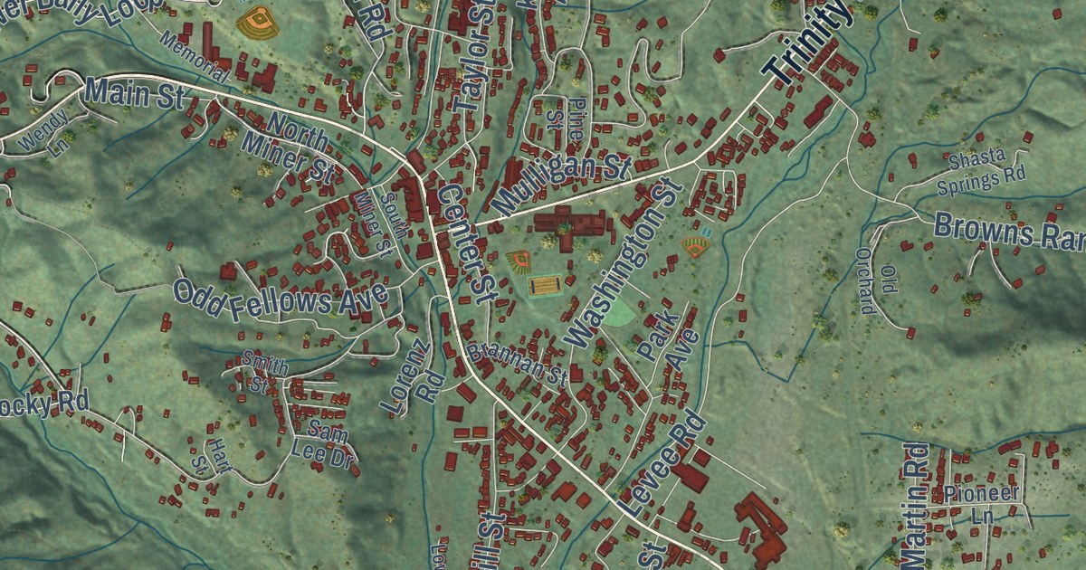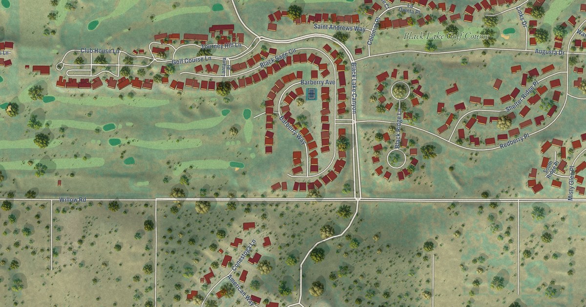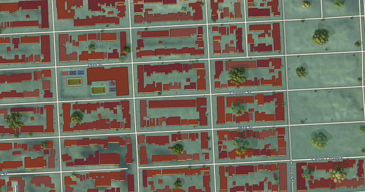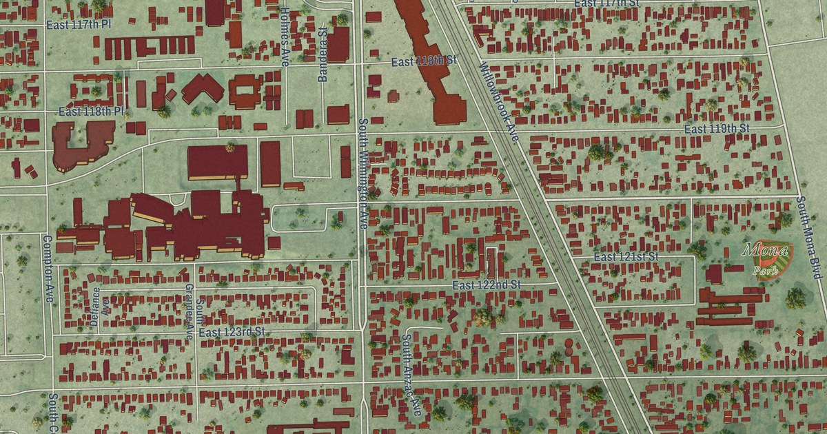
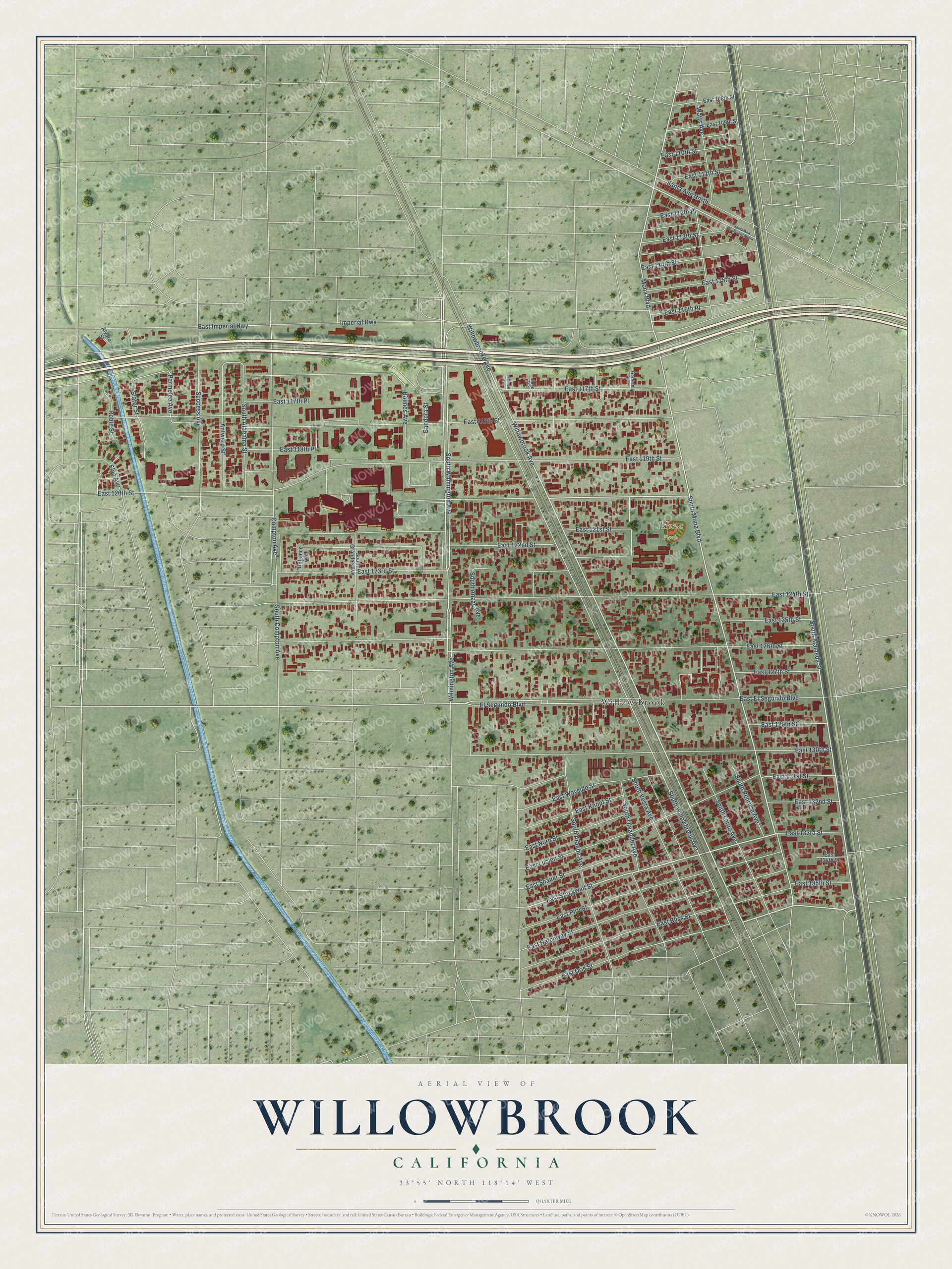
This beautifully detailed map of Willowbrook, California was created in 2026 using aerial imagery combined with modern topographical, census, street and landmark data. It’s a one-of-a-kind view of Willowbrook that combines accurate data with a vintage aesthetic. The map shows every building in its true location, many of the roads carry their names, and the shaded topographic relief shows the shape of the land.
Explore an aerial view of Willowbrook, California
On the map you’ll find Mona Park, along with South Willowbrook Avenue, East 120th Street, South Alameda Street, South Mona Boulevard, Mona Boulevard, East Oris Street, Willowbrook Avenue, East Stockwell Street, South Wilmington Avenue, Willowbrooke Avenue, and more. If you look closely you can even find your house accurately drawn in its correct location. Zoom in on the preview to look for yours.
Did you know this piece of Willowbrook, California history?
From the Los Angeles County Planning: "Willowbrook was named for the natural tree and water landmarks that delineated Rancho La Tajauta boundaries in the 1840s. The Rancho was part of a 4,500-acre land grant conferred to Anastacio Abila in 1843."
Take a closer look at the Willowbrook map
Street and place names on the Willowbrook, California map
These names are printed on the map of Willowbrook, California.
Places: Mona Park and Willow Brook.
Streets and roads: South Willowbrook Avenue, East 120th Street, South Alameda Street, South Mona Boulevard, Mona Boulevard, East Oris Street, Willowbrook Avenue, East Stockwell Street, South Wilmington Avenue, Willowbrooke Avenue, East 117th Street, Parmelee Avenue.
More street names, A to Z
Alvaro Street, Antwerp Street, Bandera Street, Compton Avenue, Defiance Avenue, East 108th Street, East 109th Street, East 110th Street, East 111th Street, East 112th Place, East 113th Street, East 114th Street, East 115th Place, East 115th Street, East 117th Place, East 118th Place, East 118th Street, East 119th Street, East 121st Street, East 122nd Street, East 123rd Street, East 124th Street, East 125th Street, East 126th Street, East 127th Street, East 129th Street, East 130th Street, East 131st Street, East 132nd Street, East 133rd Street, East 134th Street, East 135th Street, East Bliss Street, East El Segundo Boulevard, East Hatchway Street, East Imperial Highway, East Knopf Street, East Lucien Street, East Nord Street, East Piru Street, East Shauer Street, East Wayside Street, El Segundo Boulevard, Elva Avenue, Gorman Avenue, Harman Avenue, Holmes Avenue, Hugo Avenue, Imperial Highway, Robin Street, Santa Ana Boulevard North, Santa Ana North, Slater Street, South Alabama Street, South Anzac Avenue, South Aranbe Avenue, South Compton Avenue, South Grandee Avenue, South Largo Avenue, South Oleander Avenue, South Penrose Avenue, South Vesta Avenue, Success Avenue, Watts Avenue, Wilmington Avenue.
See the Willowbrook, California map on a wall
The Willowbrook map as an 18 x 24 inch print in a black frame.

This beautifully detailed map of Willowbrook makes an attractive addition to your office, library, or den, and it can even be used to teach children the geography and history of the area. It also makes a great gift for anyone who grew up in Willowbrook or moved away. When you’re done exploring, click here to get your copy of the Willowbrook map.