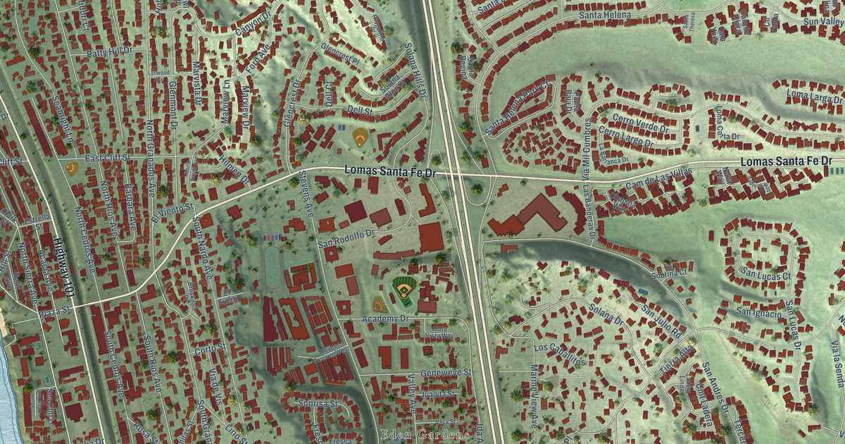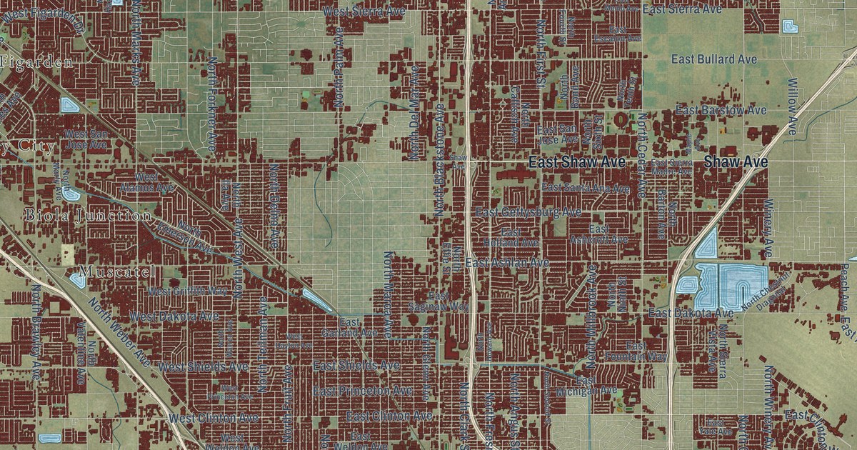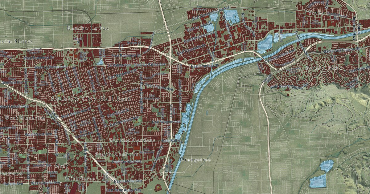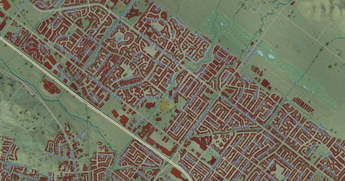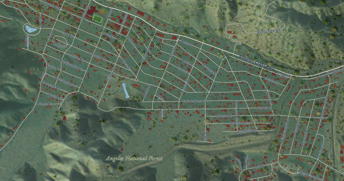
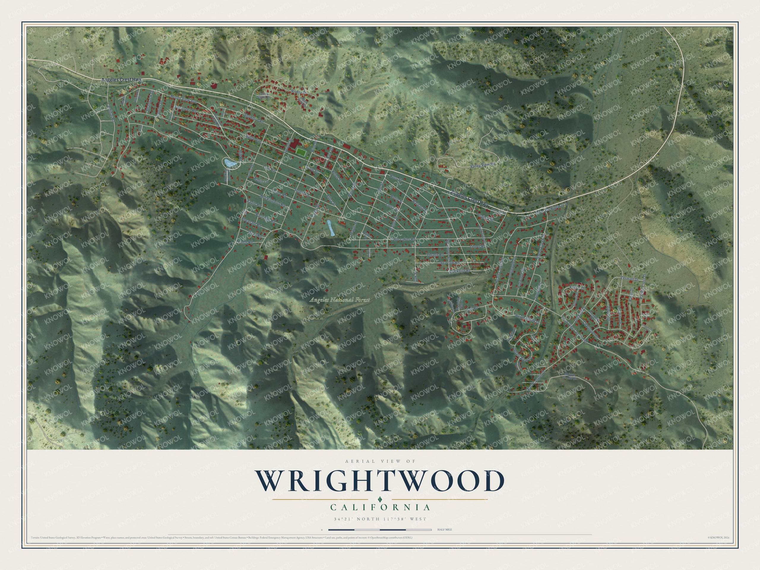
This beautifully detailed map of Wrightwood, California was created in 2026 using aerial imagery combined with modern topographical, census, street and landmark data. It's a modern aerial view of Wrightwood in San Bernardino County, California, that combines modern data with a vintage aesthetic. The roads feature printed names, and if you look closely you can find your exact house accurately shown in its correct location.
Explore an aerial view of Wrightwood, California
On this map you'll find Angeles National Forest, Angeles Crest Highway, Cardinal Road, Elm Street, Mount View Avenue, Lone Pine Canyon Road, Lark Road, Oriole Road, Twin Lakes Road, Acorn Drive, Irene Street, Linnet Road, and more. Each red shape is a building, so zoom in on the preview and look for yours.
Wrightwood is a community in San Bernardino County. The Census Bureau counted 4,720 people here in 2020. The map prints the town name in its title panel, with the coordinates below it.
Take a closer look at the Wrightwood map
Names on this map
These names are printed on this map.
Places: Angeles National Forest.
Streets and roads: Angeles Crest Highway, Cardinal Road, Elm Street, Mount View Avenue, Lone Pine Canyon Road, Lark Road, Oriole Road, Twin Lakes Road, Acorn Drive, Irene Street, Linnet Road, Edna Street.
More street names, A to Z
Acorn Road, Agnes Street, Alpine Lane, Apple Avenue, Apple Vista Drive, Ash Road, Barbara Street, Basel Drive, Berne Place, Betty Street, Blackbird Road, Cedar Street, Chaumont Drive, Chaumont Lane, Conifer Drive, Desert View Court, Desert View Drive, Desert View Lane, Division Street, Dogwood Road, Eagle Road, East Canyon Drive, Easter Drive, Evergreen Road, Finch Road, Geneva Court, Heath Creek Drive, Heath Creek Road, Helen Street, Juniper Drive, Laura Street, Lausanne Drive, Linnet Court, Locarno Drive, Lodgepole Drive, Lucerne Place, Maple Street, Mill Road, Mockingbird Road, Mocking Bird Road, Mojave Scenic Drive, Morning Star Court, Mountain View Avenue, Oak Street, Orchard Drive, Oriole Court, Outer Highway 2 South, Outer US Highway 2, Pacific Crest Drive, Park Drive, Partridge Road, Penguin Lane, Pheasant Road, Pine Street, Quail Road, Rivera Drive, Robin Lane, Robin Road, Ross Street, Shamrock Drive, Sheep Creek Drive, Snowbird Road, Sparrow Road, Spruce Street, Summit Drive, Swarthout Lane, Sycamore Street, Thrush Road, Valley View Road, Victorville Street, Virginia Street, Walnut Street, Willow Street, Yellow Stone Drive, Zermatt Drive, Zurich Drive.
Created by KNOWOL in 2026. The buildings are small red shapes, the roads carry their printed names, and shaded relief shows the shape of the land. The title panel reads "AERIAL VIEW OF WRIGHTWOOD CALIFORNIA" with 34°21' NORTH 117°38' WEST.
Hang it in the hallway, the office or the cabin, or give it to someone who left Wrightwood and still calls it home. Open the preview and look for a street you know. See sizes and frames for the Wrightwood map.