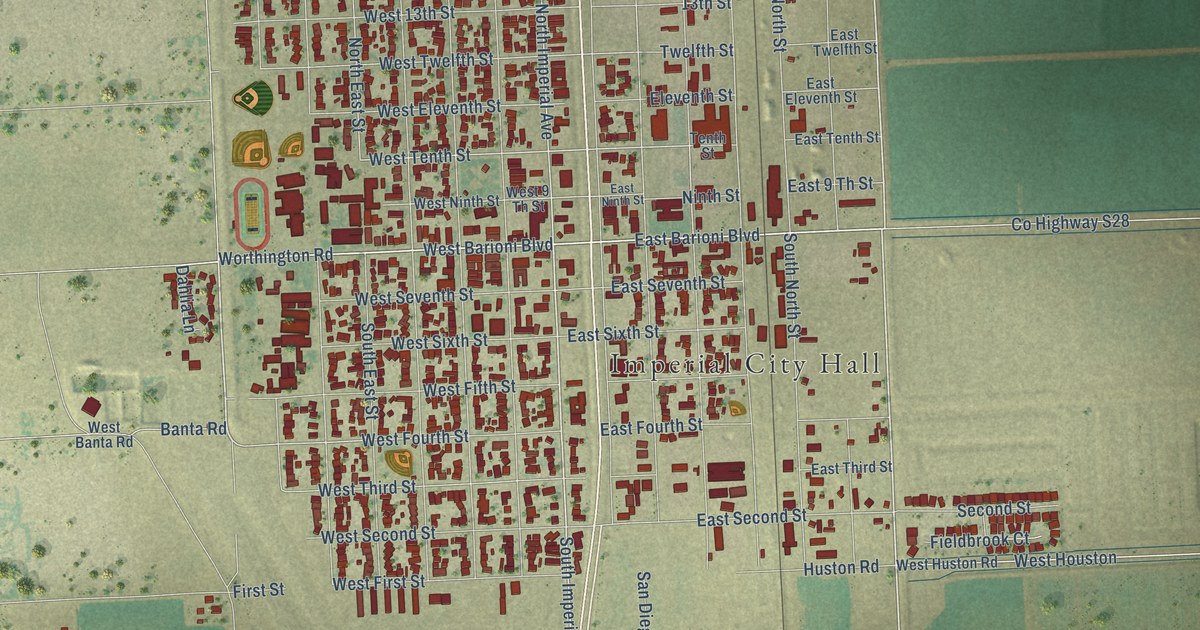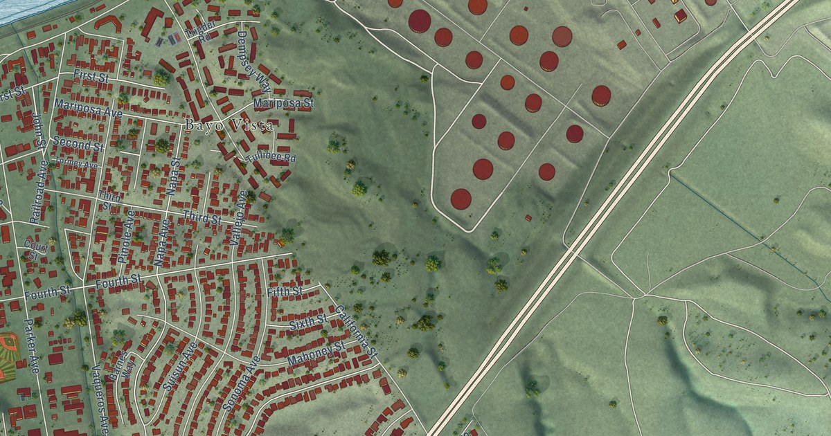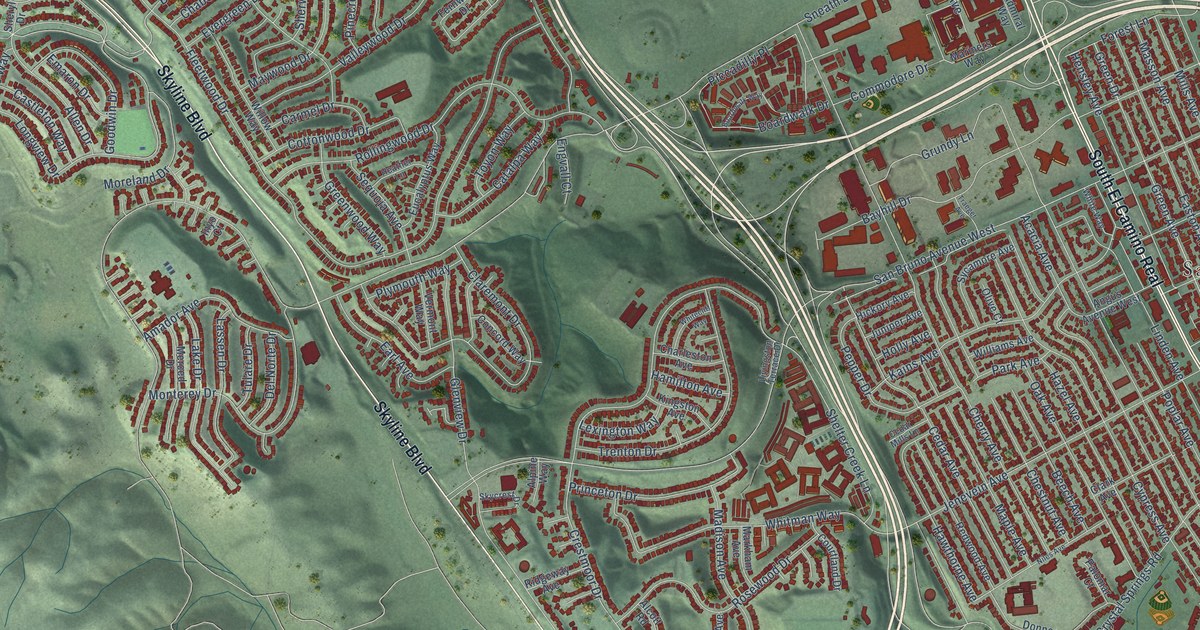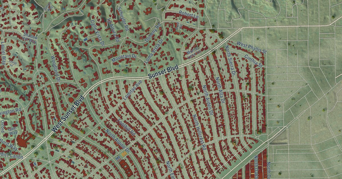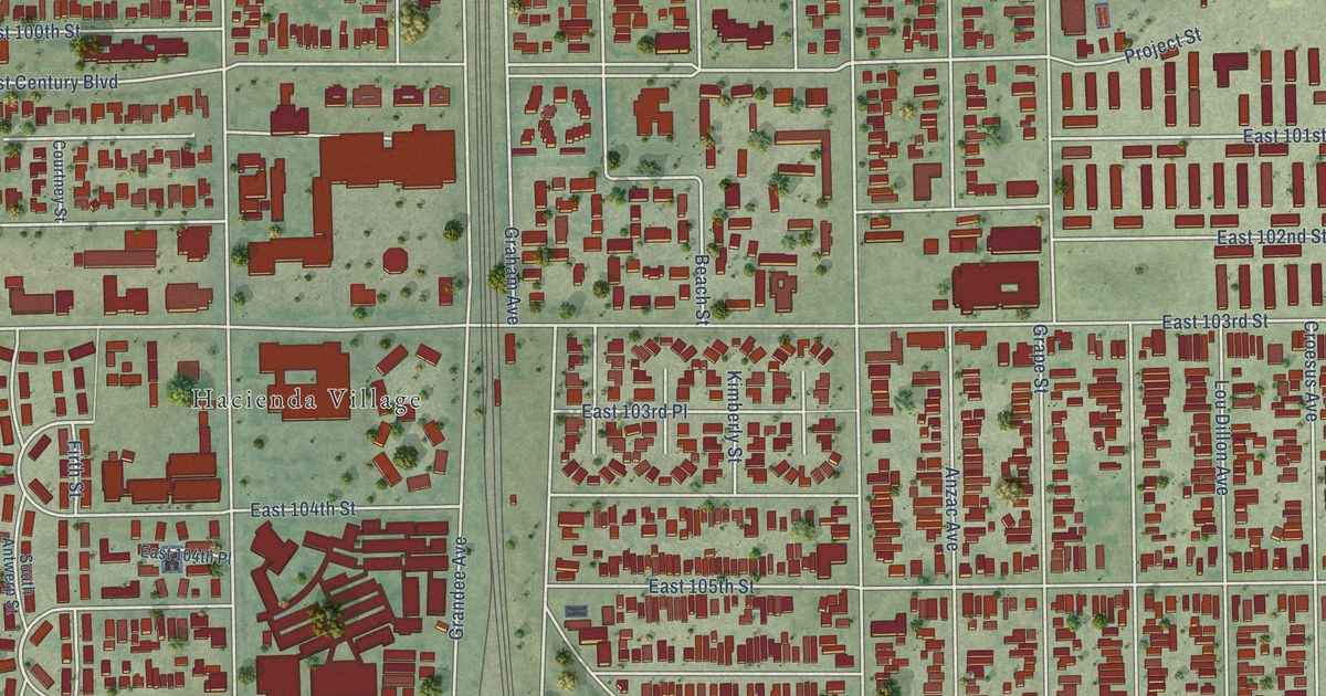
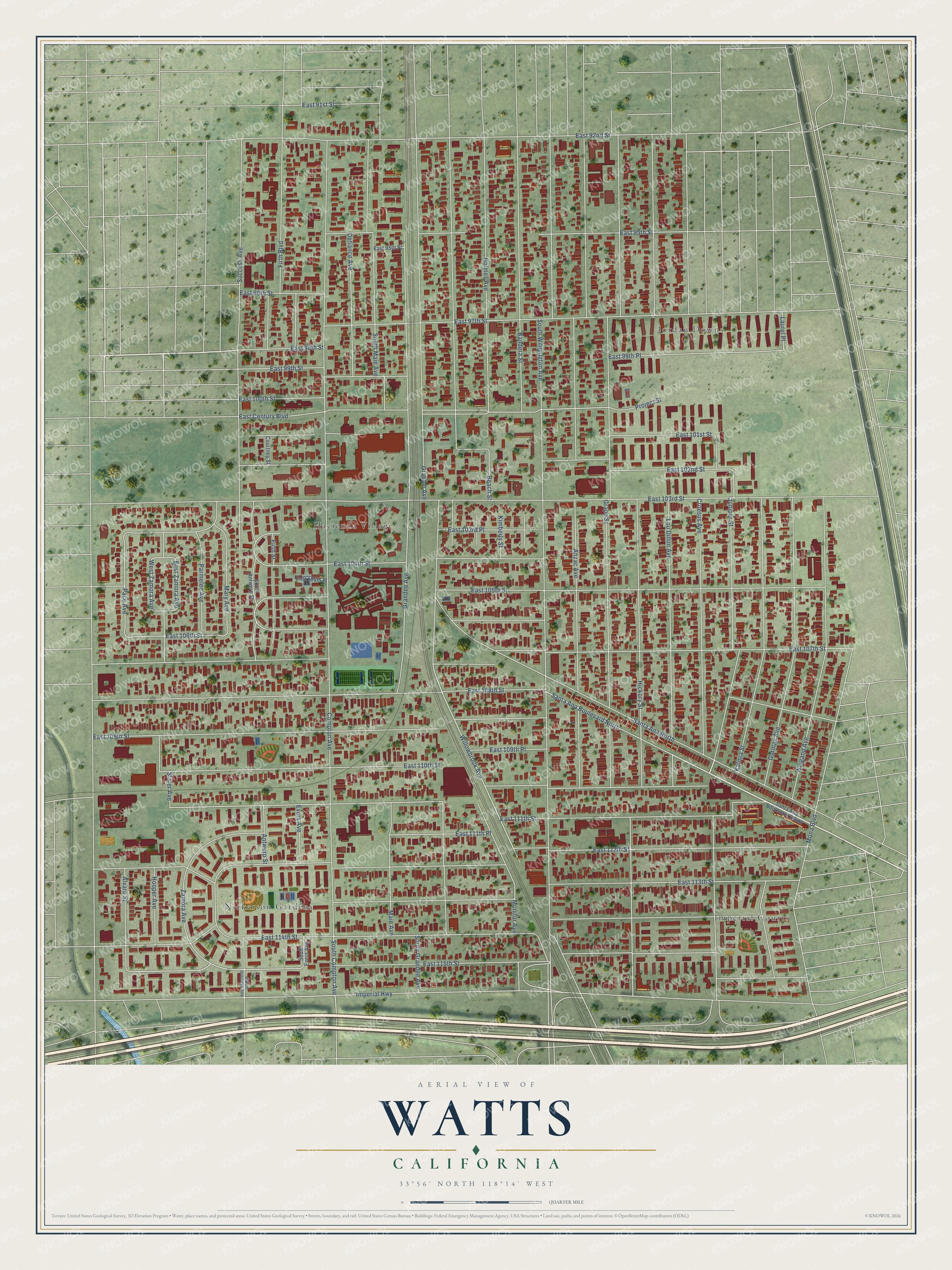
This beautifully detailed map of Watts, California was created in 2026 using aerial imagery combined with modern topographical, census, street and landmark data. It's a modern aerial view of Watts in Los Angeles County, California, that combines modern data with a vintage aesthetic. The roads feature printed names, and if you look closely you can find your exact house accurately shown in its correct location.
Explore an aerial view of Watts, California
On this map you'll find Hacienda Village, Imperial Courts, Jordan Downs, Nickerson Gardens, Santa Ana Boulevard North, Antwerp Street, South Wilmington Avenue, East 115th Street, Juniper Street, Willowbrook Avenue, East Century Boulevard, East 106th Street, and more. Each red shape is a building, so zoom in on the preview and look for yours.
Watts is a place in Los Angeles County. The map prints the town name in its title panel, with the coordinates below it.
Take a closer look at the Watts map
Names on this map
These names are printed on this map.
Places: Hacienda Village, Imperial Courts, Jordan Downs and Nickerson Gardens.
Streets and roads: Santa Ana Boulevard North, Antwerp Street, South Wilmington Avenue, East 115th Street, Juniper Street, Willowbrook Avenue, East Century Boulevard, East 106th Street, Pace Avenue, West Zamora Avenue, East Zamora Avenue, East 111th Street.
More street names, A to Z
Alvaro Street, Anzac Avenue, Bandera Street, Beach Street, Compton Avenue, Courtney Street, Croesus Avenue, Defiance Avenue, East 91st Street, East 92nd Street, East 95th Place, East 95th Street, East 96th Street, East 97th Street, East 98th Street, East 99th Place, East 99th Street, East 100th Street, East 101st Street, East 102nd Street, East 103rd Place, East 103rd Street, East 104th Place, East 104th Street, East 105th Street, East 107th Street, East 108th Street, East 109th Place, East 109th Street, East 110th Street, East 111th Place, East 112th Street, East 113th Street, East 114th Street, Evers Avenue, Firth Boulevard, Firth Street, Gorman Avenue, Graham Avenue, Grandee Avenue, Grape Street, Hickory Street, Holmes Avenue, Hooper Avenue, Imperial Highway, Kalmia Street, Kimberly Street, Laurel Place, Lou Dillon Avenue, Maie Avenue, Mary Avenue, Mona Boulevard, Monitor Avenue, Parmelee Avenue, Project Street, Santa Ana Boulevard South, Santa Ana North, Slater Avenue, South Antwerp Street, South Compton Avenue, South Evers Avenue, South Grandee Avenue, South Maie Avenue, South Success Avenue, Success Avenue, Weigand Avenue, Zamora Avenue.
Created by KNOWOL in 2026. The buildings are small red shapes, the roads carry their printed names, and shaded relief shows the shape of the land. The title panel reads "AERIAL VIEW OF WATTS CALIFORNIA" with 33°56' NORTH 118°14' WEST.
It looks right in a kitchen, an office or a den, and it's a gift for anyone who grew up in Watts or moved away. Open the preview and find your street. See sizes and frames for the Watts map.