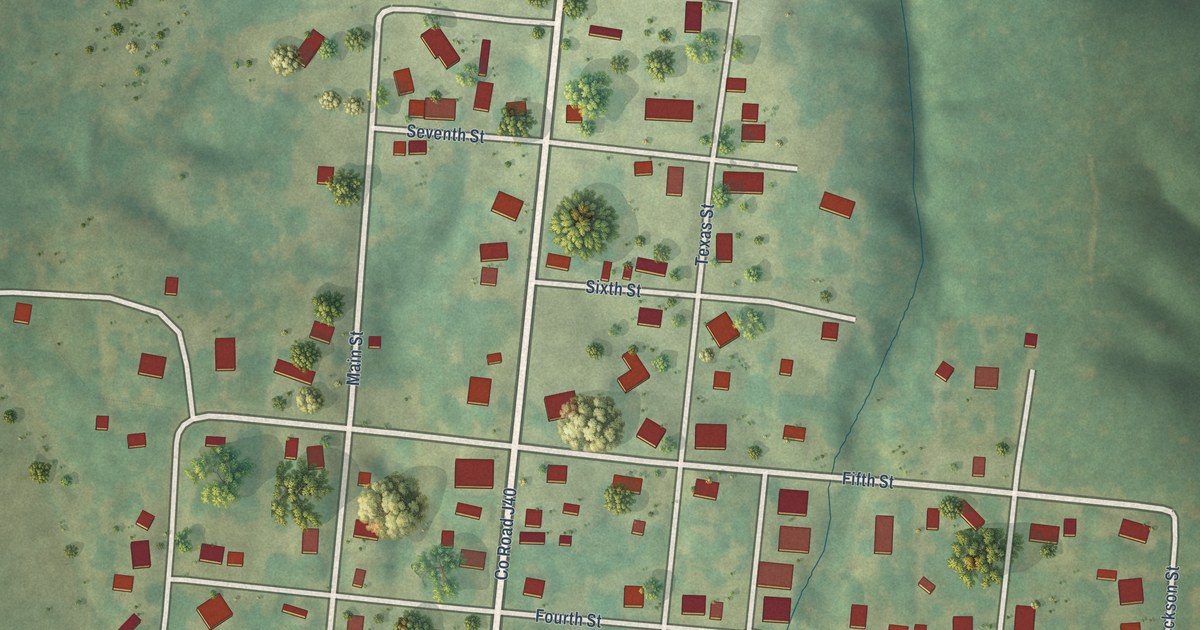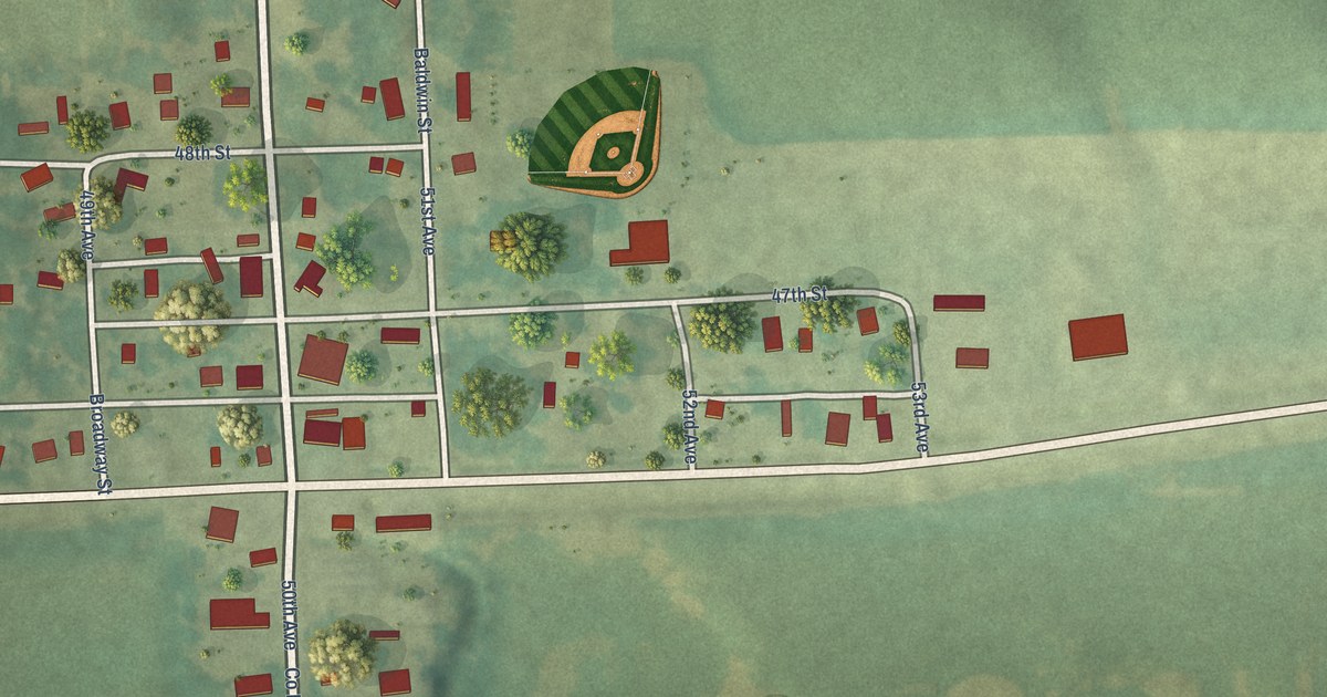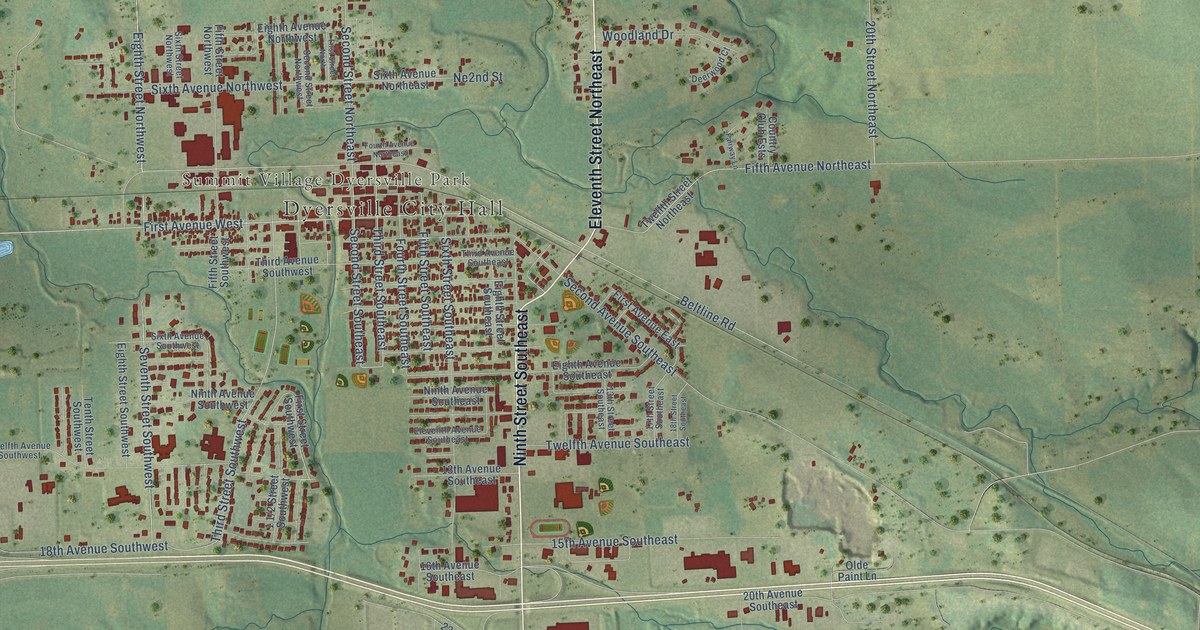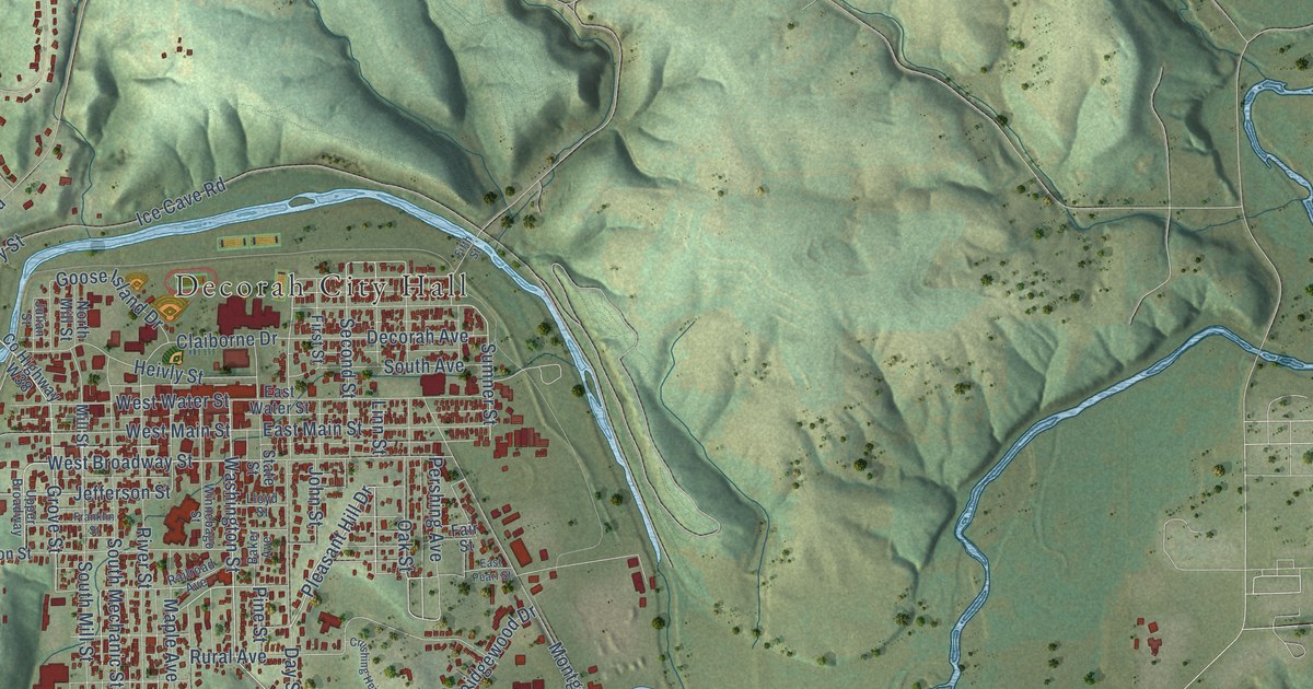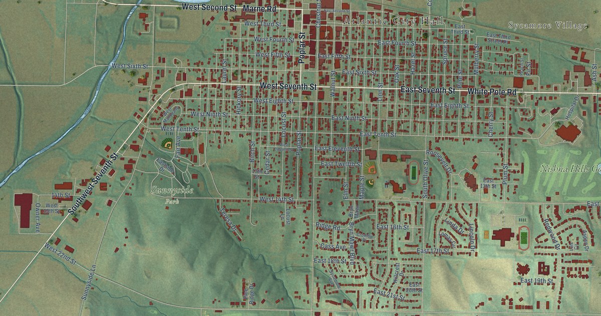
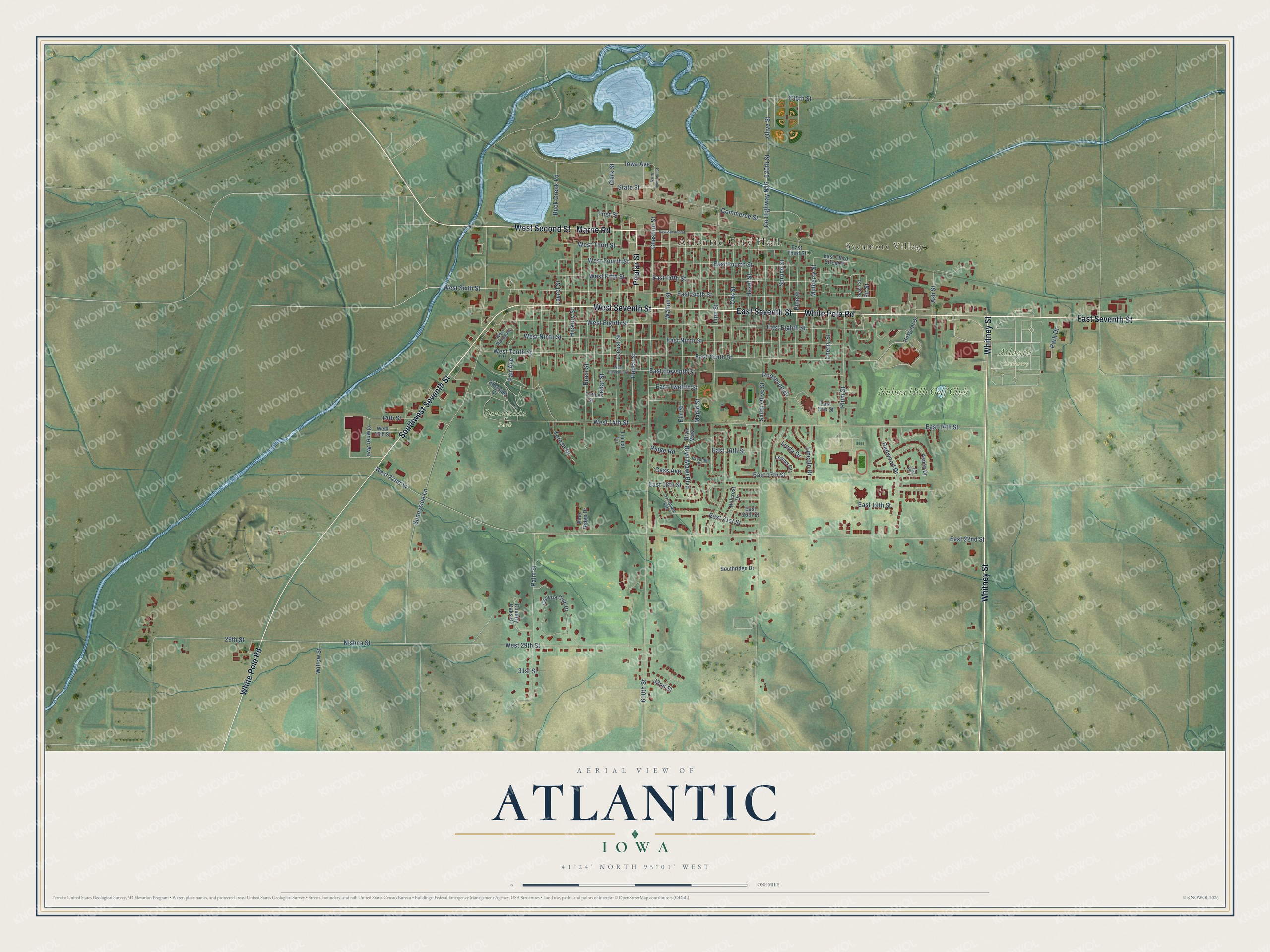
This beautifully detailed map of Atlantic, Iowa was created in 2026 using aerial imagery combined with modern topographical, census, street and landmark data. It's a modern aerial view of Atlantic in Cass County, Iowa, that combines modern data with a vintage aesthetic. The roads feature printed names, and if you look closely you can find your exact house accurately shown in its correct location.
Explore an aerial view of Atlantic, Iowa
On this map you'll find Atlantic City Hall, Sycamore Village, Atlantic Cemetery, Sunnyside Park, Nishna Hills Golf Club, Marne Road, East Seventh Street, Southwest Seventh Street, West Seventh Street, Whitney Street, West Second Street, Poplar Street, and more. Each red shape is a building, so zoom in on the preview and look for yours.
Every town has a first chapter, and Atlantic is no exception. The History of Cass County puts it this way: "It will undoubtedly be a surprise to most of Atlantic's people at the present day, to learn that but fourteen years ago, their town was for several days named Avoca. But it is a fact, nevertheless."
Atlantic is a city in Cass County. The Census Bureau counted 6,792 people here in 2020.
Take a closer look at the Atlantic map
Names on this map
These names are printed on this map.
Places: Atlantic City Hall, Sycamore Village, Atlantic Cemetery, Sunnyside Park and Nishna Hills Golf Club.
Streets and roads: Marne Road, East Seventh Street, Southwest Seventh Street, West Seventh Street, Whitney Street, West Second Street, Poplar Street, White Pole Road, East Tenth Street, West 22nd Street, West Eighth Street, West Tenth Street.
More street names, A to Z
13th Street, 14th Street, 29th Street, 31st Street, 32nd Street, 610th Street, 620th Street, 635th Street, Ash Street, Aspen Drive, Birch Street, Bryn Mawr, Bryn Mawr Boulevard, Buck Creek Road, Cass Avenue, Cedar Street, Cherry Street, Chestnut Street, Clark Street, Commerce Street, Country Club Drive, Country Oaks Drive, County Highway N16, Crombie Place, East 13th Street, East 14th Street, East 16th Street, East 17th Street, East 18th Street, East 19th Street, East 20th Street, East 21st Street, East 22nd Street, East Eighth Street, East Eleventh Street, East Fifth Street, East Fourth Street, East Ninth Street, East Second Street, Eastside Drive, East Sixth Street, East Third Street, East Third Street Place, East Twelfth Street, Elm Street, Fair Avenue, Fir Street, First Street, Hazel Street, Hickory Street, Hillcrest Drive, Hospital Drive, Iowa Avenue, Laurel Street, Lincoln Drive, Linda Drive, Linn Street, Locust Lane, Locust Street, Lois Circle, Lomas Circle, Maple Street, Mulberry Street, Nishna Street, North Chestnut Street, Oak Street, Olive Street, Owner Avenue, Palm Street, Park Drive, Peach Street, Pine Ridge Drive, Pine Street, Plum Street, Redwood Drive, Ridge Road, Roosevelt Drive, South Olive Street, Southridge Drive, Spruce Street, State Street, Sunnyside Lane, Sycamore Avenue, Teresa Drive, Walnut Street, West 14th Street, West 15th Street, West 29th Street, West Eleventh Street, West Fifth Street, West Fourth Street, West Mahogany, West Ninth Street, West Sixth Street, West Third Street, Willow Street.
Created by KNOWOL in 2026. The buildings are small red shapes, the roads carry their printed names, and shaded relief shows the shape of the land. The title panel reads "AERIAL VIEW OF ATLANTIC IOWA" with 41°24' NORTH 95°01' WEST.
Hang it in the hallway, the office or the cabin, or give it to someone who left Atlantic and still calls it home. Open the preview and look for a street you know. See sizes and frames for the Atlantic map.