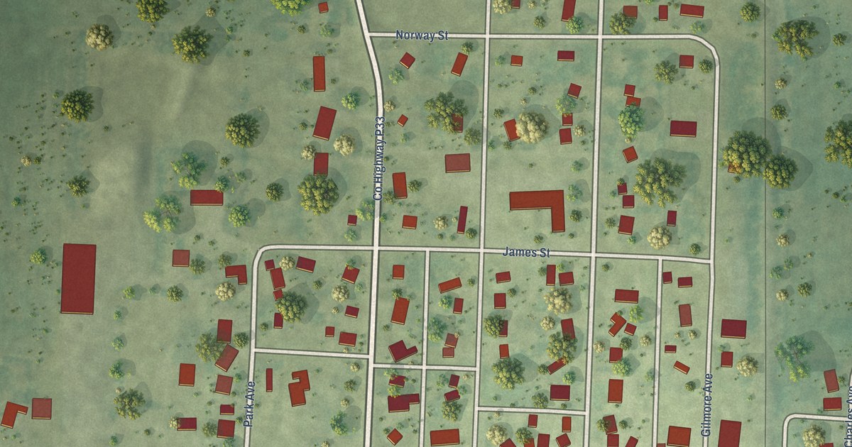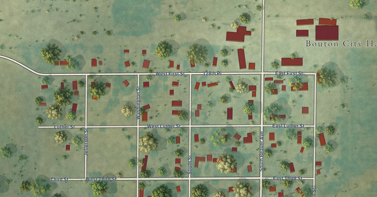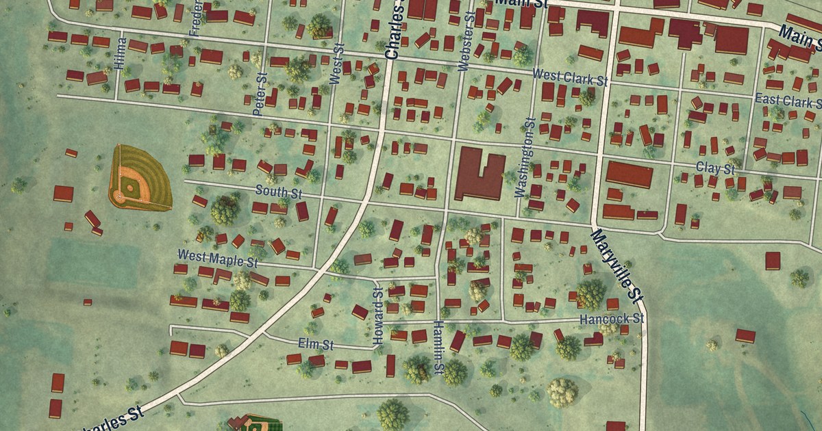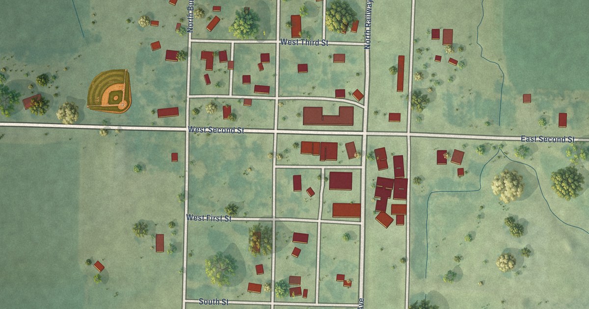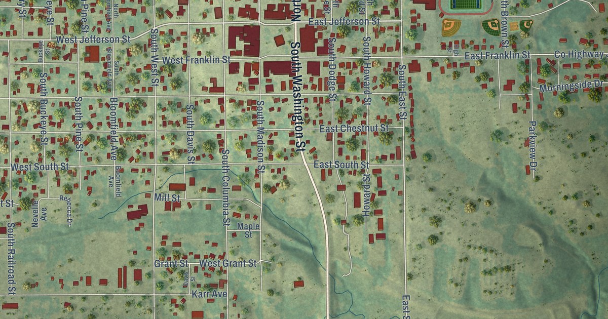
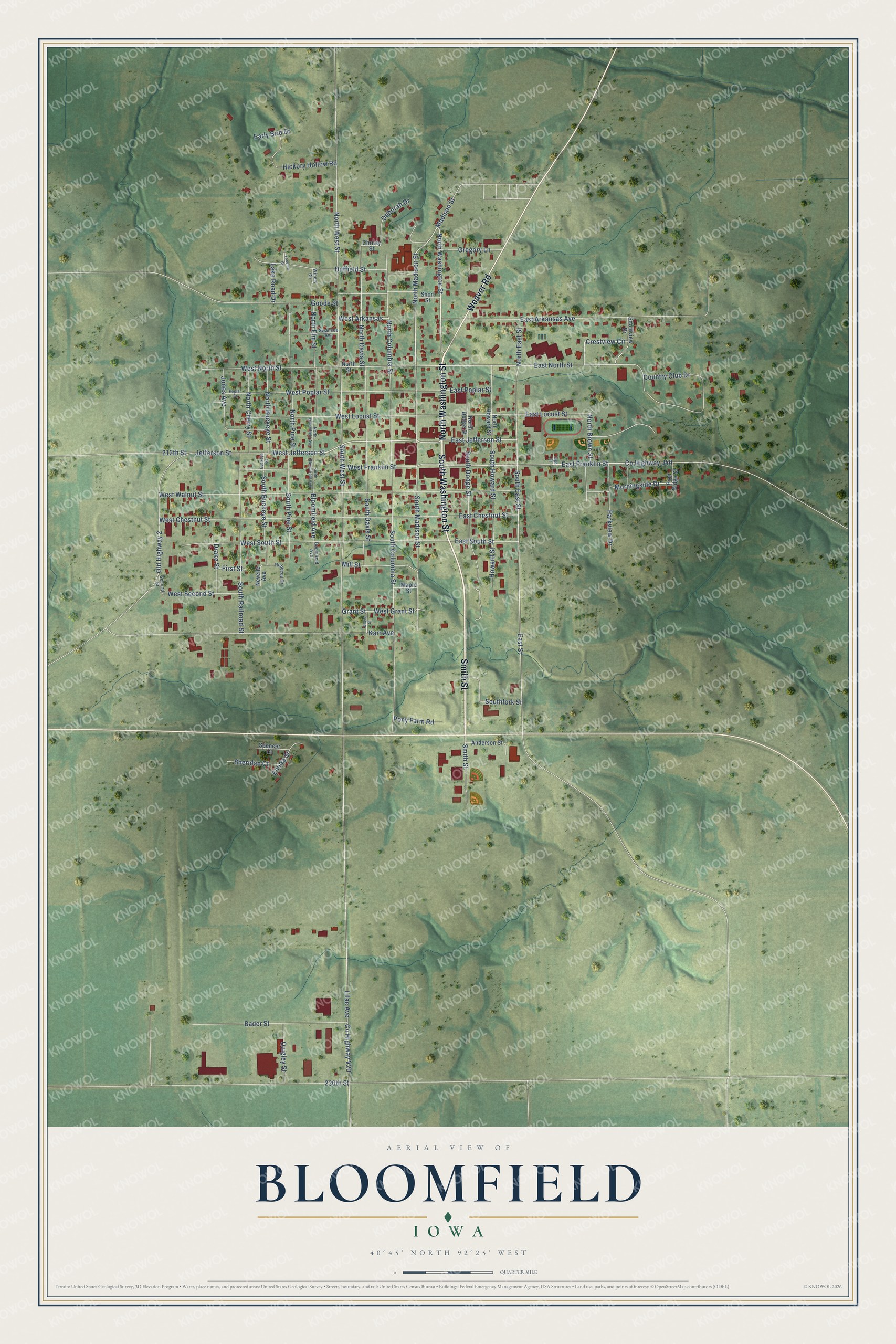
This beautifully detailed map of Bloomfield, Iowa was created in 2026 using aerial imagery combined with modern topographical, census, street and landmark data. It's a modern aerial view of Bloomfield in Davis County, Iowa, that combines modern data with a vintage aesthetic. The roads feature printed names, and if you look closely you can find your exact house accurately shown in its correct location.
Explore an aerial view of Bloomfield, Iowa
On this map you'll find North Washington Street, South Washington Street, Smith Street, Weaver Road, North Madison Street, East Jefferson Street, West Jefferson Street, Jefferson Street, South East Street, East Street, North West Street, North Davis Street, and more. Each red shape is a building, so zoom in on the preview and look for yours.
Every town has a first chapter, and Bloomfield is no exception. The Federal Writers' Project puts it this way: "Adelaide A. Pollard, born near Bloomfield and now living in London, England, wrote the words of the popular church hymn, Have Thine Own Way, Lord, and is the author of more than 100 hymn lyrics."
Bloomfield is a city in Davis County. The Census Bureau counted 2,682 people here in 2020.
Take a closer look at the Bloomfield map
Names on this map
These names are printed on this map.
Streets and roads: North Washington Street, South Washington Street, Smith Street, Weaver Road, North Madison Street, East Jefferson Street, West Jefferson Street, Jefferson Street, South East Street, East Street, North West Street, North Davis Street.
More street names, A to Z
212th Street, 230th Street, Anderson Street, Bader Street, Bloomfield Avenue, Boomfield Avenue, Buckeye Street, Christy Street, Country Club Drive, County Highway J40, County Highway V20, Crestview Circle, Davis Street, Deborah Drive, Drake Street, Duffield Street, Early Bird Drive, East Arkansas Avenue, East Chestnut Street, East Franklin Street, East Locust Street, East North Street, East Poplar Street, East South Street, Elmira Street, First Street, Foxview Circle, Goode Street, Grant Street, Gregory Lane, Hickory Hollow Road, High Street, Howard Street, Jones Avenue, Karr Avenue, Lake Road Drive, Lilac Avenue, Madison Street, Maple Street, Mill Street, Morningside Drive, Nevelle Avenue, North Bloomfield Avenue, North Brown Street, North Buckeye Street, North Cherry Street, North Columbia Street, North Dodge Street, North East Street, North Elm Street, North Howard Street, North Pine Street, North Street, Old Highway 2, Parkview Drive, Pine Ridge Street, Pony Farm Road, Poplar Street, Quigley Street, Rebecca Drive, Second Street, Sheridan Court, Short Street, Soothview Drive, South Bloomfield Avenue, South Buckeye Street, South Columbia Street, South Davis Street, South Dodge Street, Southfork Street, South Howard Street, South Madison Street, South Pine Street, South Railroad Street, South West Street, Spencer Court, Swansee Avenue, West Arkansas, West Chestnut Street, West Franklin Street, West Grant Street, West Locust Street, West North Street, West Poplar Street, West Second Street, West South Street, West Walnut Street, Winery Circle.
Created by KNOWOL in 2026. The buildings are small red shapes, the roads carry their printed names, and shaded relief shows the shape of the land. The title panel reads "AERIAL VIEW OF BLOOMFIELD IOWA" with 40°45' NORTH 92°25' WEST.
Hang it in the hallway, the office or the cabin, or give it to someone who left Bloomfield and still calls it home. Open the preview and look for a street you know. See sizes and frames for the Bloomfield map.