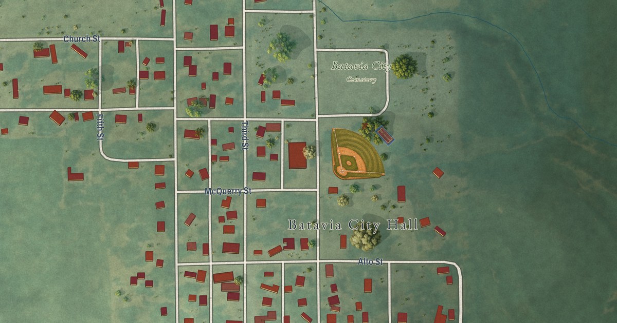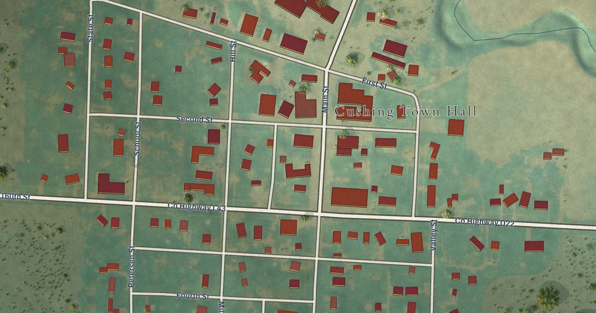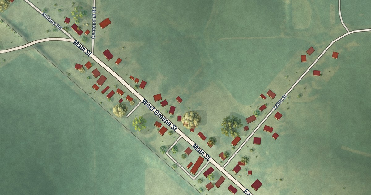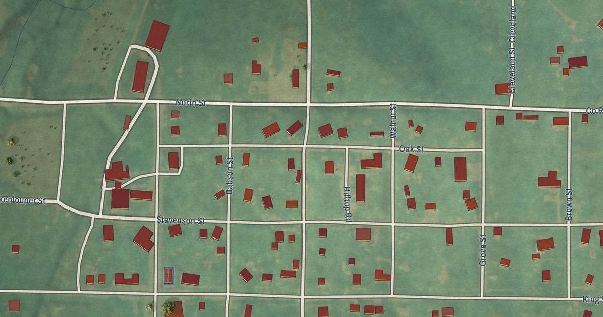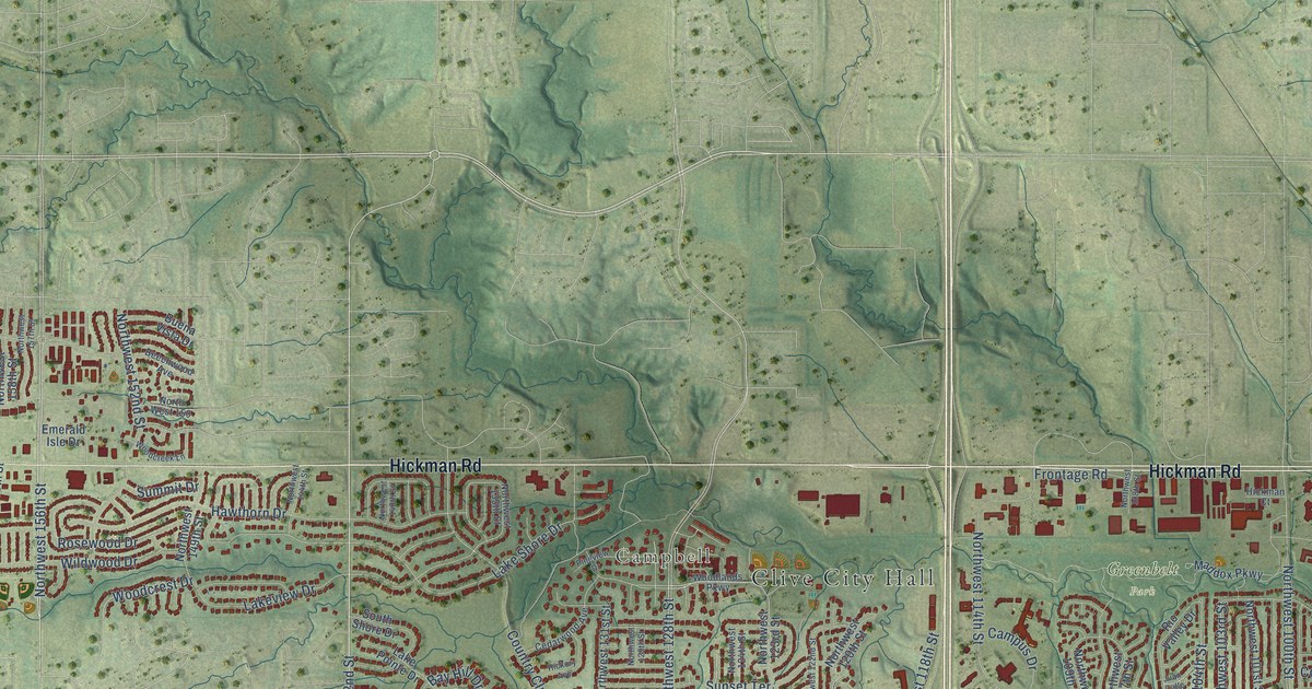
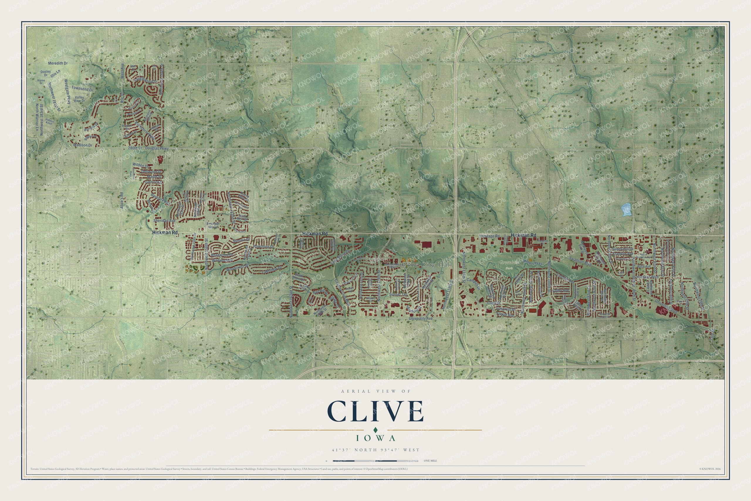
This beautifully detailed map of Clive, Iowa was created in 2026 using aerial imagery combined with modern topographical, census, street and landmark data. It's a modern aerial view of Clive in Dallas County, Iowa, that combines modern data with a vintage aesthetic. The roads feature printed names, and if you look closely you can find your exact house accurately shown in its correct location.
Explore an aerial view of Clive, Iowa
On this map you'll find Clive City Hall, Campbell, Greenbelt Park, Hickman Road, University Avenue, Berkshire Parkway, Northwest 156th Street, West Avenue, Northwest 142nd Street, 280th Street, Northwest 128th Street, Boston Parkway, and more. Each red shape is a building, so zoom in on the preview and look for yours.
Here is a piece of Clive history, in the words of the record. The City of Clive puts it this way: "Clive is an old community, but a young city, incorporated on October 9, 1956. Maps dated in the 1870's first show Clive as a small settlement clustered around the intersection of Walnut Creek, a railroad, and a county road."
Clive is a city in Dallas County. The Census Bureau counted 18,601 people here in 2020.
Take a closer look at the Clive map
Names on this map
These names are printed on this map.
Places: Clive City Hall, Campbell and Greenbelt Park.
Streets and roads: Hickman Road, University Avenue, Berkshire Parkway, Northwest 156th Street, West Avenue, Northwest 142nd Street, Route 30, 280th Street, Northwest 128th Street, Boston Parkway, Alice's Road, North Warrior Lane.
More street names, A to Z
73rd Street, 86th Street, 171st Court, Airline Drive, Alice Avenue, Alpine Drive, Aurora Court, Aurora Drive, Baxter Drive, Bay Hill Drive, Beechwood Avenue, Berkshire, Buena Vista Drive, Campus Drive, Carpenter Circle Drive, Cedarwood Avenue, Clark Street, Colby Avenue, Country Club Boulevard, Dellwood Drive, Devonshire Parkway, Dooley Drive, Douglas Parkway, Dover Bay Drive, Drake Street, Elmcrest Drive, Emerald Isle Drive, Forest Avenue, Franklin Avenue, Frontage Road, Harbach Boulevard, Hawthorn Drive, Hickman Court, Hickory Avenue, Hickory Court, Hidden Knoll, Horton Circle, Iltis Court, Iltis Drive, Iltis Lane, Indian Hills Drive, Juan Calle, Lake Pointe Drive, Lake Shore Drive, Lakeview Drive, Lincoln Avenue, Luin Drive, Maddox Parkway, Madison Drive, Maple Street, Meredith Drive, North Franklin Avenue, Northwest 75th Street, Northwest 78th Street, Northwest 80th Court, Northwest 80th Place, Northwest 80th Street, Northwest 81st Street, Northwest 82nd Street, Northwest 84th Street, Northwest 86th Street, Northwest 90th Court, Northwest 90th Street, Northwest 92nd Court, Northwest 92nd Street, Northwest 93rd Court, Northwest 94th Street, Northwest 96th Street, Northwest 98th Street, Northwest 100th Street, Northwest 101st Street, Northwest 103rd Street, Northwest 104th Street, Northwest 107th Street, Northwest 108th Street, Northwest 109th Street, Northwest 114th Street, Northwest 118th Street, Northwest 120th Street, Northwest 122nd Street, Northwest 123rd Street, Northwest 124th Street, Northwest 129th Street, Northwest 131st Street, Northwest 135th Street, Northwest 138th Street, Northwest 140th Street, Northwest 144th Street, Northwest 149th Street, North West 150, Northwest 152nd Street, Northwest 157th Street, Northwest 158th Street, Northwest 159th Street, Northwest 160th Street, Northwest 161st Street, Northwest 164th Street, Northwest 167th Street, Northwest 181st Street, Northwest 183rd Street, Oakbrook Drive, Pineview Drive, Prairie Drive, Primrose Lane, Rio Valley Drive, Rosewood Drive, Sheridan Avenue, South Shore Drive, Stratford Drive, Summit Drive, Sunny Hill Drive, Sunset Terrace, Swanson Boulevard, Tanglewood Drive, Townsend Drive, University Boulevard, Valley View Drive, Village Court, Westgate Parkway, Wilden Drive, Wildwood Drive, Winston Circle, Woodcreek Lane, Woodcrest Drive, Woodlands Parkway.
Created by KNOWOL in 2026. The buildings are small red shapes, the roads carry their printed names, and shaded relief shows the shape of the land. The title panel reads "AERIAL VIEW OF CLIVE IOWA" with 41°37' NORTH 93°47' WEST.
It suits a den, a classroom or a front hall, and it makes a gift for anyone with Clive roots. Open the preview and find the block you know. See sizes and frames for the Clive map.