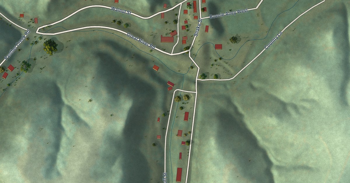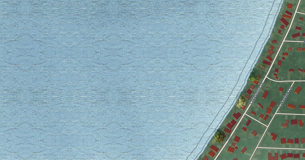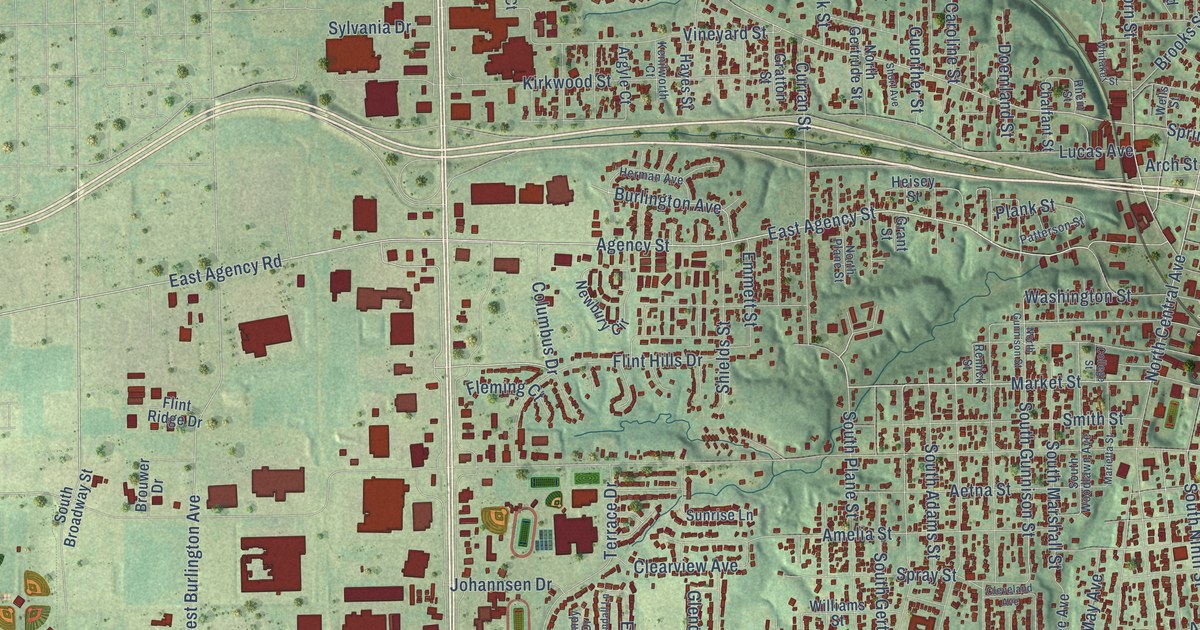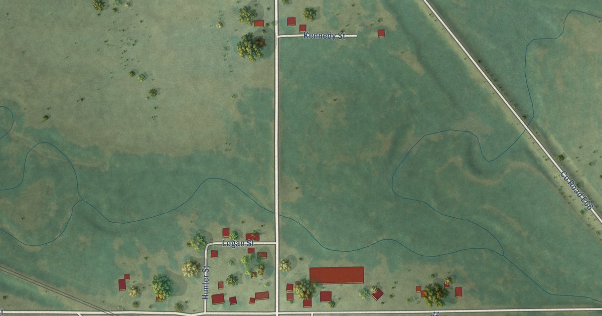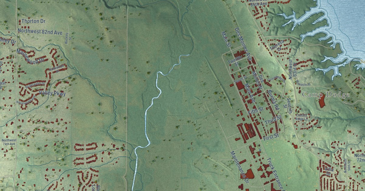
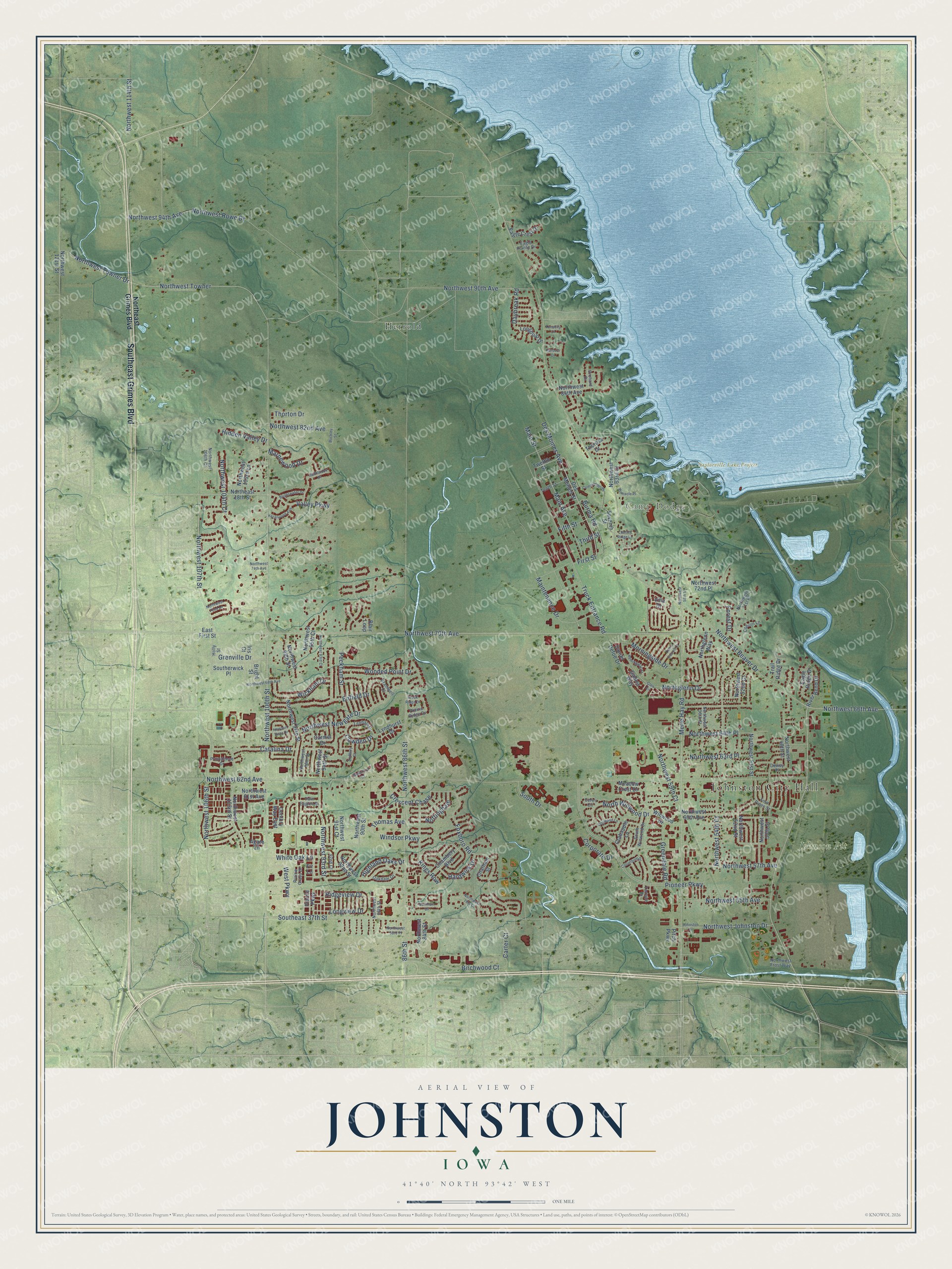
This beautifully detailed map of Johnston, Iowa was created in 2026 using aerial imagery combined with modern topographical, census, street and landmark data. It’s a one-of-a-kind view of Johnston that combines accurate data with a vintage aesthetic. The map shows every building in its true location, many of the roads carry their names, and the shaded topographic relief shows the shape of the land.
Explore an aerial view of Johnston, Iowa
On the map you’ll find Johnston City Hall, Camp Dodge, Johnson Pit, Saylorville Lake Project, Terra Park, and Herrold, along with Southeast Grimes Boulevard, Northwest Beaver Drive, Northwest 70th Avenue, Northwest 100th Street, Truck Entrance Road, Ridgeview Drive, and more. If you look closely you can even find your house accurately drawn in its correct location. Zoom in on the preview to look for yours.
Did you know this piece of Johnston, Iowa history?
From the City of Johnston: "On September 8, 1969, Mayor Harold Southerwick gaveled in the first Johnston City Council meeting."
Take a closer look at the Johnston map
Street and place names on the Johnston, Iowa map
These names are printed on the map of Johnston, Iowa.
Places: Johnston City Hall, Camp Dodge, Johnson Pit, Saylorville Lake Project, Terra Park and Herrold.
Streets and roads: Southeast Grimes Boulevard, Northwest Beaver Drive, Northwest 70th Avenue, Northwest 100th Street, Truck Entrance Road, Ridgeview Drive, Burma Road, Northwest 62nd Avenue, Northwest 86th Street, Merle Hay Road, Pioneer Parkway, Southeast 37th Street.
More street names, A to Z
86th Street, 92nd Court, Agate Lane, Barnham Drive, Birchwood Court, Blair Loop, Bramwell Court, Bright Street, Brightwater Drive, Brook Ridge Drive, Buckley Street, Carmel Drive, Carter Court, Catalina Drive, Century Way East, Ceres Circle, Chambery Boulevard, Chatham Street, Coburn Lane, Columbine Drive, Commander Drive, Corporate Drive, Country Ridge Lane, Cowden Drive, Crabapple Lane, Crescent Chase, Daniel Defoe Drive, Daybreak Road, Des Moines Avenue, Des Moines Street, Dewey Place, Dogwood Lane, Eagle Crest Drive, Eagle Pointe Drive, Eagle Ridge Drive, East First Street, Enfield Drive, Fifth Street, Fir Lane, First Street, Forest Drive, Four Pines Street, Foxboro Road, Gables Way, Glen Circle, Greendale Road, Grenville Drive, Harbour Drive, Hardwick Drive, Hazelwood Avenue, Hemingway Street, Hidden Valley Drive, Highland Oaks Drive, Holly Street, Iris Court, Johnston Drive, Kings Row, Lenham Drive, Lewis Carroll Court, Longboat Drive, Longview Drive, Lyndhurst Drive, Main Avenue, Main Street, Maintenance Drive, Marnewood Drive, Meadow Crest Drive, Morningside Drive, Newport Vista Drive, Northeast 18th Street, Northeast Grimes Boulevard, Northglenn Drive, Northglenn Way, Northwest 48th Street, Northwest 50th Street, Northwest 51st Street, Northwest 52nd Court, Northwest 52nd Street, Northwest 53rd Place, Northwest 54th Court, Northwest 55th Avenue, Northwest 56th Street, Northwest 57th Avenue, Northwest 58th Street, Northwest 59th Court, Northwest 60th Avenue, Northwest 61st Avenue, Northwest 63rd Court, Northwest 63rd Place, Northwest 64th Place, Northwest 66th Avenue, Northwest 68th Avenue, Northwest 71st Place, Northwest 72nd Lane, Northwest 72nd Place, Northwest 74th Avenue, Northwest 78th Court, Northwest 82nd Avenue, Northwest 84th Avenue, Northwest 84th Street, Northwest 88th Street, Northwest 90th Avenue, Northwest 90th Street, Northwest 91st Court, Northwest 92nd Street, Northwest 93rd Court, Northwest 93rd Street, Northwest 94th Avenue, Northwest 94th Street, Northwest 95th Court, Northwest 96th Street, Northwest 97th Street, Northwest 98th Street, Northwest 103rd Lane, Northwest 103rd Street, Northwest 104th Court, Northwest 106th Court, Northwest 106th Street, Northwest 107th Street, Northwest 114th Street, Northwest 121st Street, Northwest Frost Way, Northwest Johnston Drive, Northwest Newgate Drive, Northwest Rowe Drive, Northwest Towner, Northwest Towner Drive, North Winwood Drive, Nottingham, Oakdale Drive, Orchard Drive, Peckham Street, Pinnacle Place, Pitch Parkway, Prairie Grass Drive, Prairie Parkway, Prairie Ridge Drive, Providence Drive, River Bend Drive, Rushbrook Drive, Seventh Street, South Drive, Southerwick Place, South Winwood Drive, Sudbury Court, Tenacity Lane, Tenth Street, Terrace Drive, Theresa Drive, Third Street, Thomas Avenue, Thorton Drive, Trail Ridge Drive, Twelfth Street, Twin Eagles Drive, Valley Parkway, Villa Drive, Waterford Court, West Parkway, White Oak Lane, Wickham Drive, Windsor Parkway, Winwood Drive, Wooded Point Drive.
See the Johnston, Iowa map on a wall
The Johnston map as an 18 x 24 inch print in a black frame.

This beautifully detailed map of Johnston makes an attractive addition to your office, library, or den, and it can even be used to teach children the geography and history of the area. It also makes a great gift for anyone who grew up in Johnston or moved away. When you’re done exploring, click here to get your copy of the Johnston map.