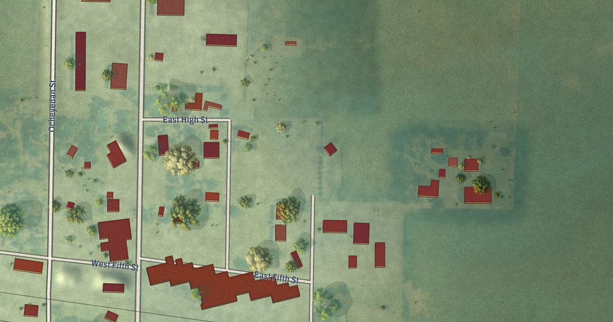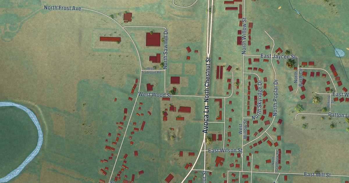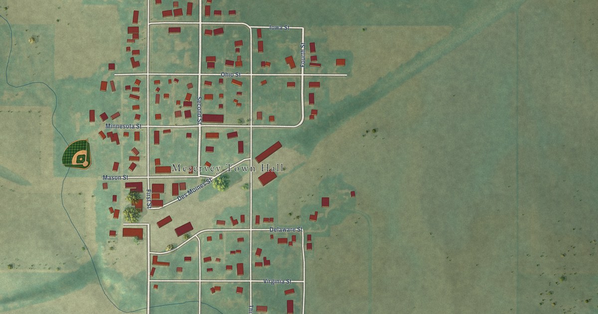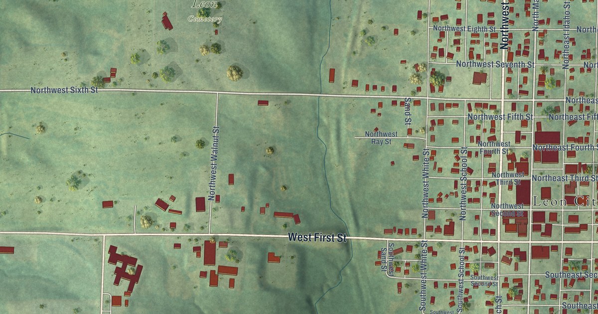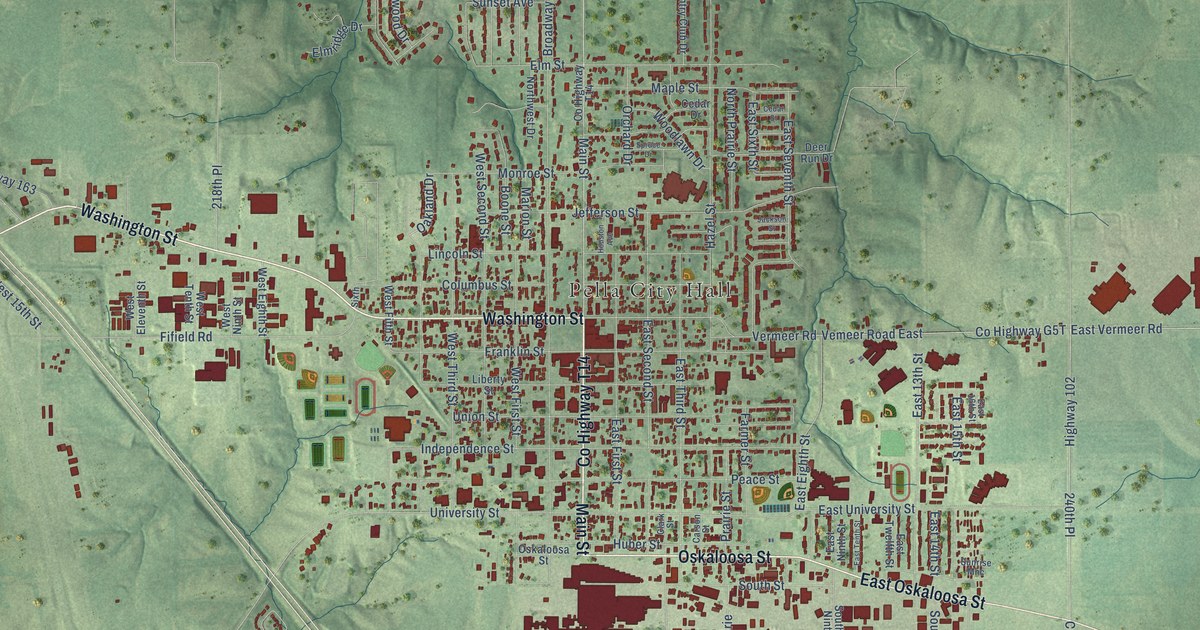
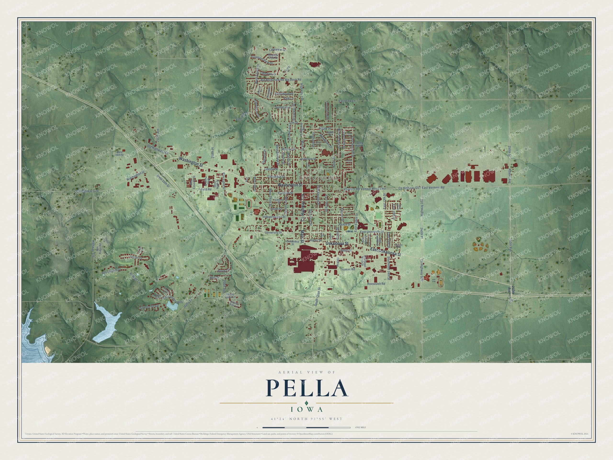
This beautifully detailed map of Pella, Iowa was created in 2026 using aerial imagery combined with modern topographical, census, street and landmark data. It's a modern aerial view of Pella in Marion County, Iowa, that combines modern data with a vintage aesthetic. The roads feature printed names, and if you look closely you can find your exact house accurately shown in its correct location.
Explore an aerial view of Pella, Iowa
On this map you'll find Pella City Hall, Washington Street, Co Highway T14, Main Street, Oskaloosa Street, East Oskaloosa Street, 250th Avenue, Adams Avenue, 250th Street, East Vermeer Road, Highway 102, Vemeer Road East, and more. Each red shape is a building, so zoom in on the preview and look for yours.
Pella is a city in Marion County. The Census Bureau counted 10,464 people here in 2020. The map prints the town name in its title panel, with the coordinates below it.
Take a closer look at the Pella map
Names on this map
These names are printed on this map.
Places: Pella City Hall.
Streets and roads: Washington Street, County Highway T14, Main Street, Oskaloosa Street, East Oskaloosa Street, 250th Avenue, Adams Avenue, 250th Street, East Vermeer Road, Highway 102, Vemeer Road East, County Highway G39.
More street names, A to Z
210th Avenue, 218th Avenue, 218th Place, 240th Place, Adams Street, Aspen Circle, Big Rock Park Road, Big Rock Road, Boone Street, Bos Landen Drive, Bos Landen Weg, Bos Ridge Road, Brabant Laan, Brentwood Drive, Broadway Street, Brook Circle, Carson Street, Cedar Drive, Cedar Street, Clark Street, Columbus Street, Country Club Drive, Country Side Lane, County Highway G28, Deer Run Drive, Drenthe Laan, East 13th Street, East 14th Street, East 15th Street, East 16th Street, East Eighth Street, East First Street, East Ninth Street, East Park Lane, East Second Street, East Seventh Street, East Sixth Street, East Tenth Street, East Third Street, East Twelfth Street, East University Street, Edgewater Drive, Edgewood Drive, Elmridge Drive, Elm Street, Elmwood Drive, Evening Court, Farmer Street, Fifield Road, Fountain View Drive, Franklin Street, Hazel Street, Hemel Drive, Highway T14, Highway T15, Houston Avenue, Huber Street, Idaho Drive, Independence Street, Jackson Street, Jefferson Street, Lakeview Drive, Liberty Street, Lincoln Street, Maple Street, Marion Street, Meadow Crest Drive, Monroe Street, Neil Drive, North Prairie Street, Northwest Drive, Oakland Drive, Old Highway 163, Orchard Drive, Park Lane, Peace Street, Pleasant Drive, Prairie, Prairie Street, Roosevelt Road, Scholte Straat, Shady Brook Lane, Sixth, South Clark Street, Southeast 14th Street, Southeast Ninth Street, South Street, Spruce Drive, Sunrise Mhc, Sunset Avenue, Truman Road, Union Street, University Street, Utrecht Lann, Vermeer Road, Vintage Lane, West 15th Street, West 16th Street, West Eighth Street, West Eleventh Street, West Fifth Street, West First Street, West Fourth Street, West Ninth Street, West Second Street, West Tenth Street, West Third Street, Woodlawn Drive.
Created by KNOWOL in 2026. The buildings are small red shapes, the roads carry their printed names, and shaded relief shows the shape of the land. The title panel reads "AERIAL VIEW OF PELLA IOWA" with 41°24' NORTH 92°55' WEST.
It looks right in a kitchen, an office or a den, and it's a gift for anyone who grew up in Pella or moved away. Open the preview and find your street. See sizes and frames for the Pella map.