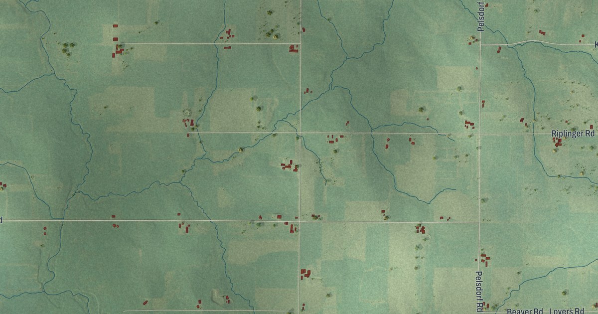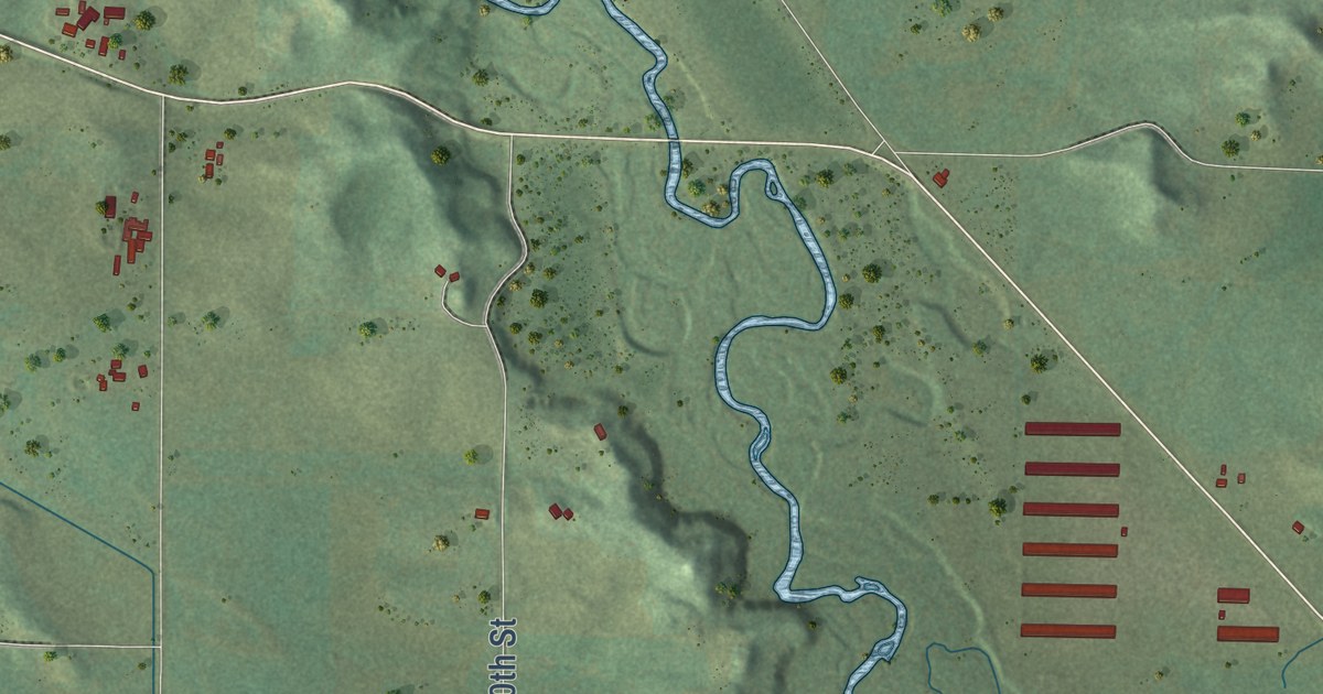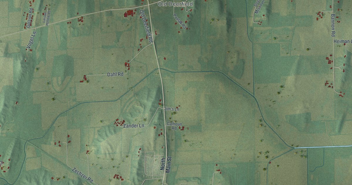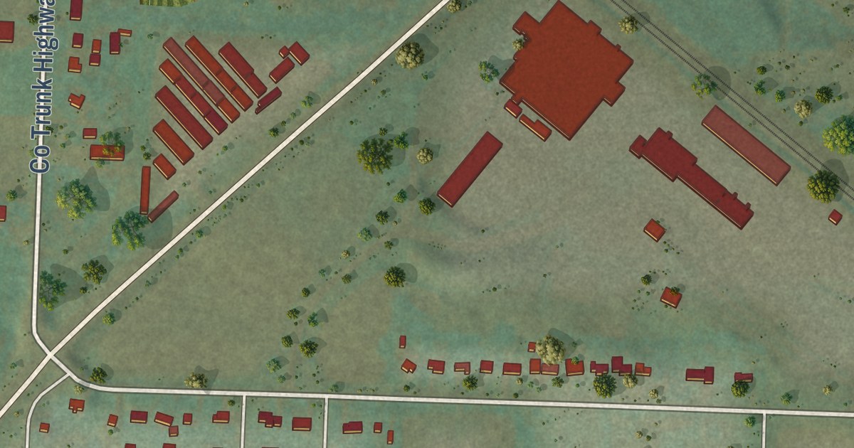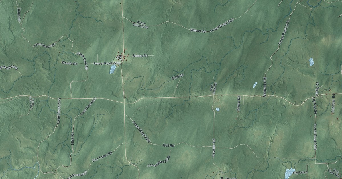
This beautifully detailed map of Alvin, Wisconsin was created in 2026 using aerial imagery combined with modern topographical, census, street and landmark data. It’s a one-of-a-kind view of Alvin that combines accurate data with a vintage aesthetic. The map shows every building in its true location, many of the roads carry their names, and the shaded topographic relief shows the shape of the land.
Explore an aerial view of Alvin, Wisconsin
On the map you’ll find Nelma, (Forrd 2169), Forest Road 2169, NFS Road 2430, Forest Road 2454, Forest Road 2172, Forest Road 2174, and Forest Road 2424, along with Srevens Lake Road, Thrasher Road, Gaspardo Road, Windsor Dam Road, and more. If you look closely you can even find your house accurately drawn in its correct location. Zoom in on the preview to look for yours.
Did you know this piece of Alvin, Wisconsin history?
From the Forest County Chamber of Commerce: "Alvin Township was set apart as a unit of portions of North Crandon and Caswell Townships in March 1911."
Take a closer look at the Alvin map
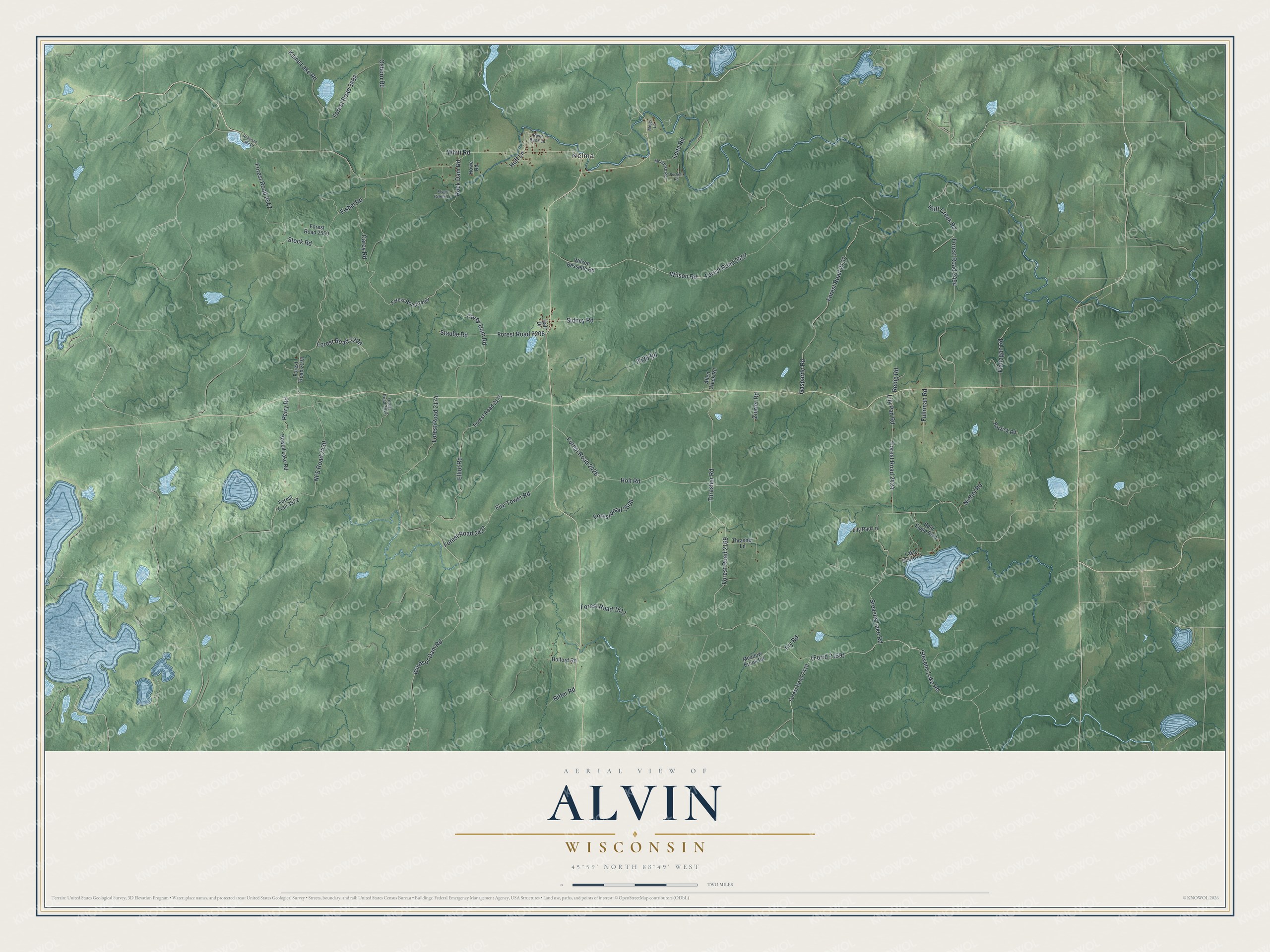
Street and place names on the Alvin, Wisconsin map
These names are printed on the map of Alvin, Wisconsin.
Places: Nelma.
Streets and roads: Srevens Lake Road, Forest Road 2169, NFS Road 2430, Forest Road 2454, Thrasher Road, Forest Road 2172, Gaspardo Road, Forest Road 2174, Windsor Dam Road, Forest Road 2424, Carey Dam Road, Lily Pad Road.
More street names, A to Z
2526 Road, Allen Creek Road, Bald Eagle Boulevard, Borzick Road, Carey Road, Elliot Road, Elvoy Creek Lane, Fire Tower Road, Fishel Road, Flanagan Road, Forest Road 2175, Forest Road 2193, Forest Road 2200, Forest Road 2206, Forest Road 2419, Forest Road 2426, Forest Road 2427, Forest Road 2457, Forest Road 2458, Forest Road 2506, Forest Road 2511, Forest Road 2512, Forest Road 2547, Forest Road 2550, Forest Road 3888, Forest Trail 3522, Fry Road, Fuhrman Road, Hall Drive, Holford Road, Holt Road, Howell Lake Road, Howe Road, Huff Creek Road, Huff Lane, Kaine Lake Road, Lake Shore Lane, Lena Road, Lily Pad Lane, McIntosh Road, Meadow Brook Road, Megs Lane, Nichol Road, Osborn Road, Perry Road, Puckett Road, Redig Road, Ritter Road, River Bank Lane, Robinson Lake Drive, Rock Dam Road, Sidney Road, Staube Road, Stevens Lake Road, Stock Road, Thrasher Lane, Whitt Road, Wilson Bessette Road, Wilson Road, Zierler Road.
See the Alvin, Wisconsin map on a wall
The Alvin map as an 18 x 24 inch print in a black frame.

This beautifully detailed map of Alvin makes an attractive addition to your office, library, or den, and it can even be used to teach children the geography and history of the area. It also makes a great gift for anyone who grew up in Alvin or moved away. When you’re done exploring, click here to get your copy of the Alvin map.