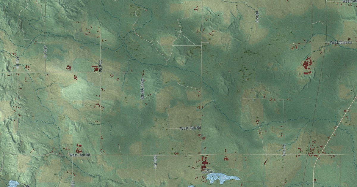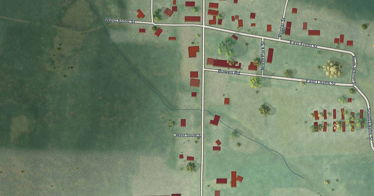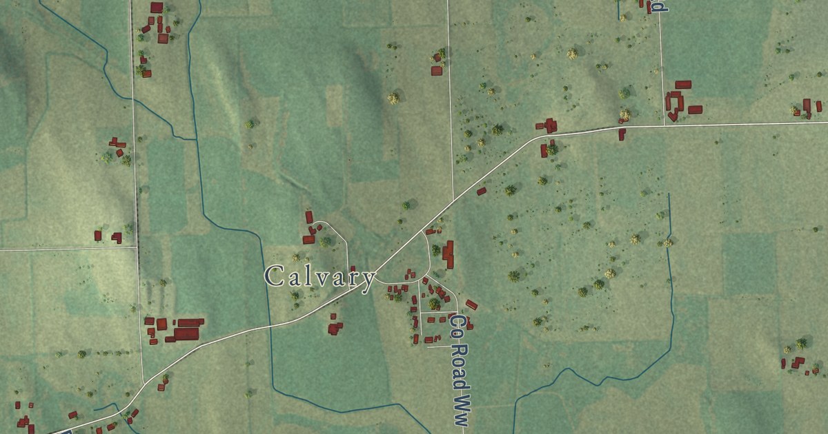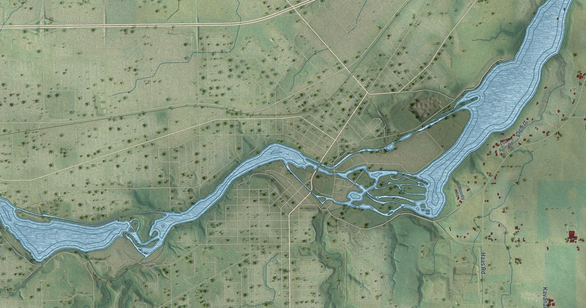
This beautifully detailed map of Buchanan, Wisconsin was created in 2026 using aerial imagery combined with modern topographical, census, street and landmark data. It’s a one-of-a-kind view of Buchanan that combines accurate data with a vintage aesthetic. The map shows every building in its true location, many of the roads carry their names, and the shaded topographic relief shows the shape of the land.
Explore an aerial view of Buchanan, Wisconsin
On the map you’ll find Darboy, along with Crooks Avenue, Calumet Street, County Highway KK, Debruin Road, County Road CE, County Line Road, Outagamie County Road, Outagamie Road, County Road ZZ, Eisenhower Drive, and more. If you look closely you can even find your house accurately drawn in its correct location. Zoom in on the preview to look for yours.
Did you know this piece of Buchanan, Wisconsin history?
From Land of the Fox: "Seven years after the organization of Outagamie County the County Board on March 1, 1858, established the Town of Buchanan from its parent Township of Kaukauna."
Take a closer look at the Buchanan map
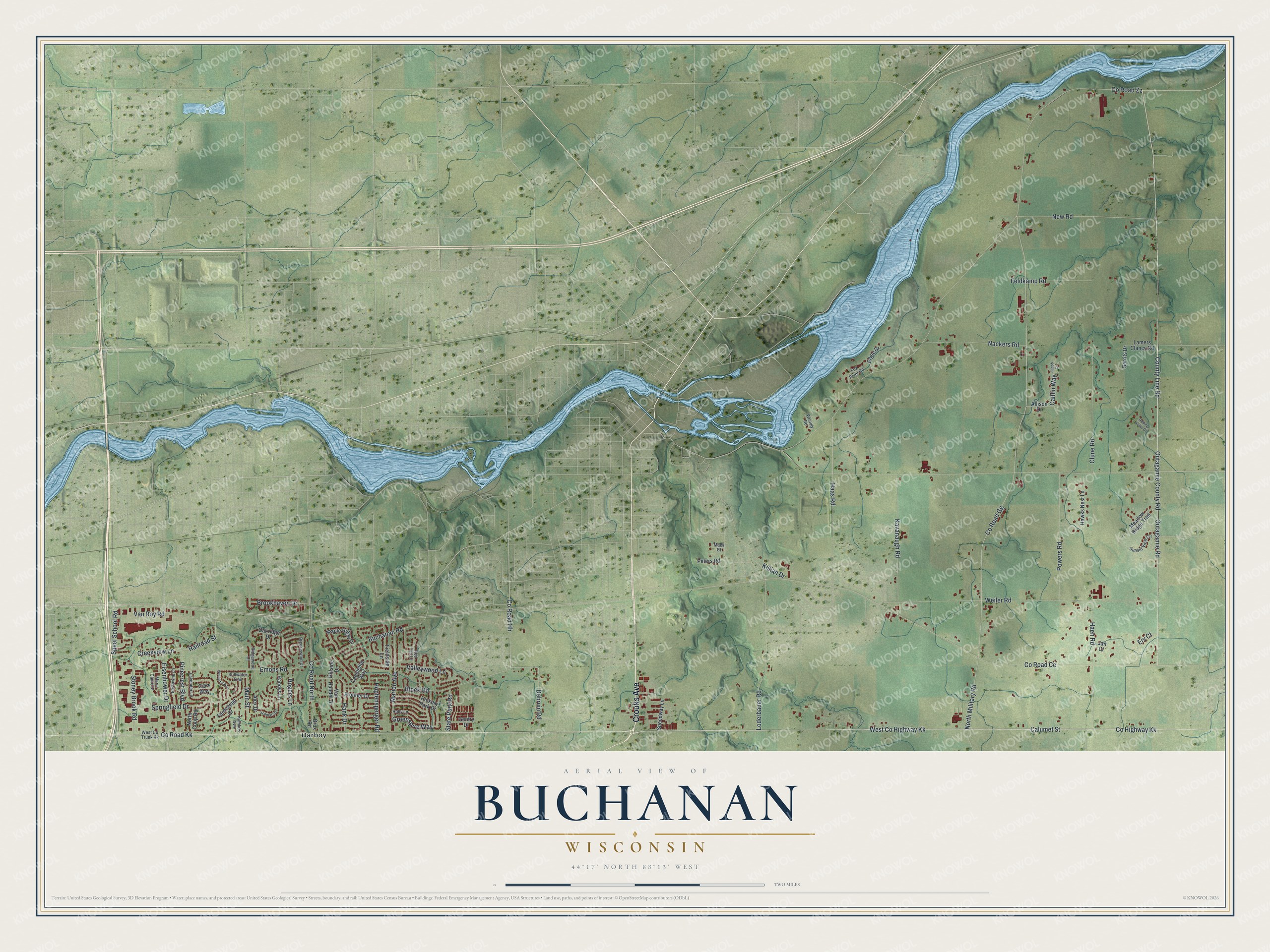
Street and place names on the Buchanan, Wisconsin map
These names are printed on the map of Buchanan, Wisconsin.
Places: Darboy.
Streets and roads: Crooks Avenue, Calumet Street, County Highway Kk, Debruin Road, County Road Ce, County Road Kk, County Line Road, Outagamie County Road, Outagamie Road, County Road Zz, Eisenhower Drive, Greenspire Way.
More street names, A to Z
Alex Drive, Allison Drive, Block Road, Breezewood Drive, Brookhaven Drive, Brux Road, Buchanan Road, Caitlin Way, Candlelite Way, Cara Way, Clune Road, County Road Gg, County Road Hh, County Road North, Creekview Lane, Eagle Drive, Eastowne Lane, Emons Road, Erv Court, Farmstead Drive, Feldkamp Road, Fieldside Lane, Fox River Road, Frontier Drive, Gentry Drive, Gerrits Drive, Haas Road, Haen Road, Hank Drive, Hawks Nest Lane, Hickory Park Drive, Hillside Drive, Holly Lane, Hopfensperger Road, Jacob Court, Jan Court, Kamkes Avenue, Kavanaugh Road, Killian Drive, Lamers Clancy Road, Lavender Lane, Loderbauer Road, Maes Court, Main Street, Maple Ridge Drive, Marie Claire Drive, Marion Avenue, Meadow Ridge Trail, Nackers Road, New Road, North Coop Road, North Military Road, Oakridge Drive, Peters Road, Pinecrest Boulevard, Powers Road, Railroad Street, Randys Lane, Red Tail Lane, Ridgewood Court, Rogers Lane, Rolling Acres Court, Schmalz Circle, Speedway Lane, Speel School Road, Springfield Drive, State Park Road, Stillwater Trail, Stoney Brook Road, Sunset View Circle, Valleywood Lane, Van Handel Drive, Van Roy Road, Weiler Road, West Co Trunk Kk, West County Highway Kk, Woodly Road, Woodstock Lane.
See the Buchanan, Wisconsin map on a wall
The Buchanan map as an 18 x 24 inch print in a black frame.

This beautifully detailed map of Buchanan makes an attractive addition to your office, library, or den, and it can even be used to teach children the geography and history of the area. It also makes a great gift for anyone with Buchanan roots. When you’re done exploring, click here to get your copy of the Buchanan map.