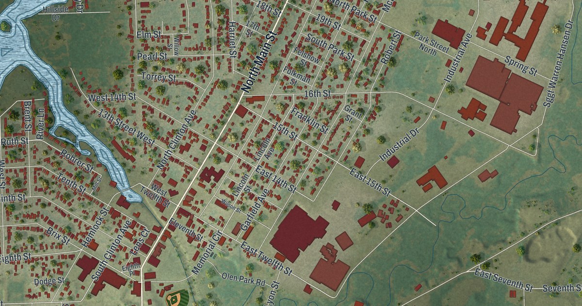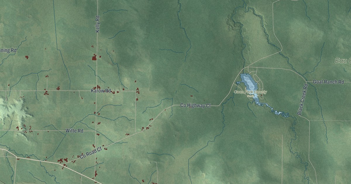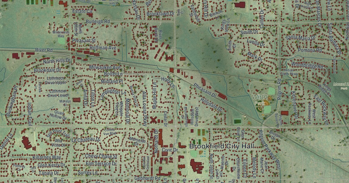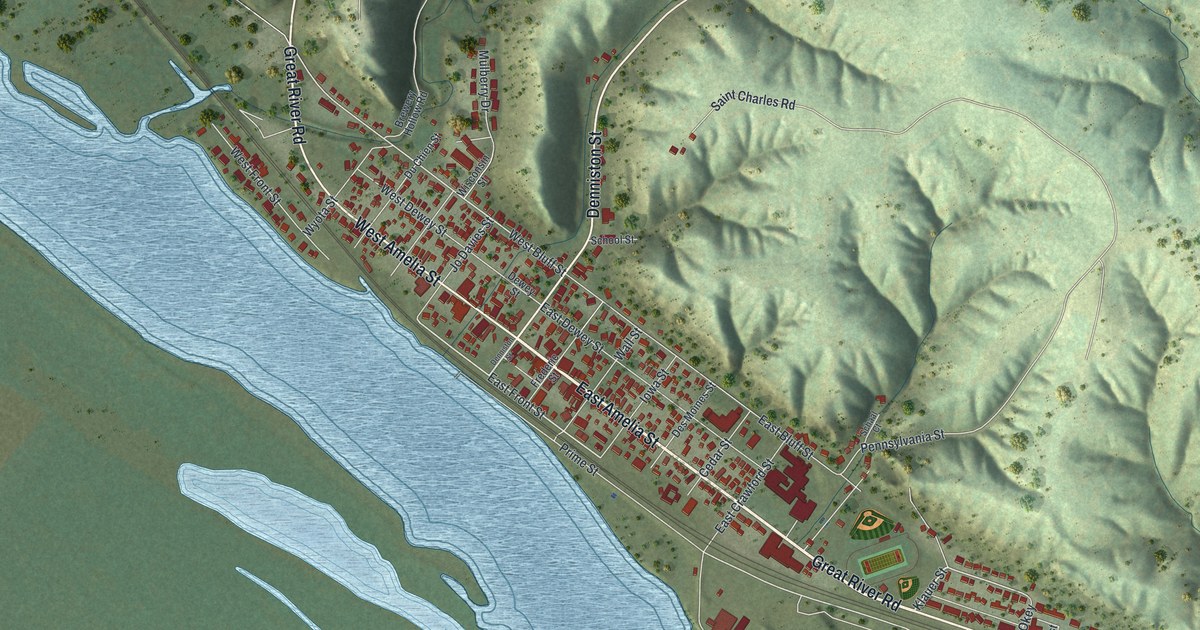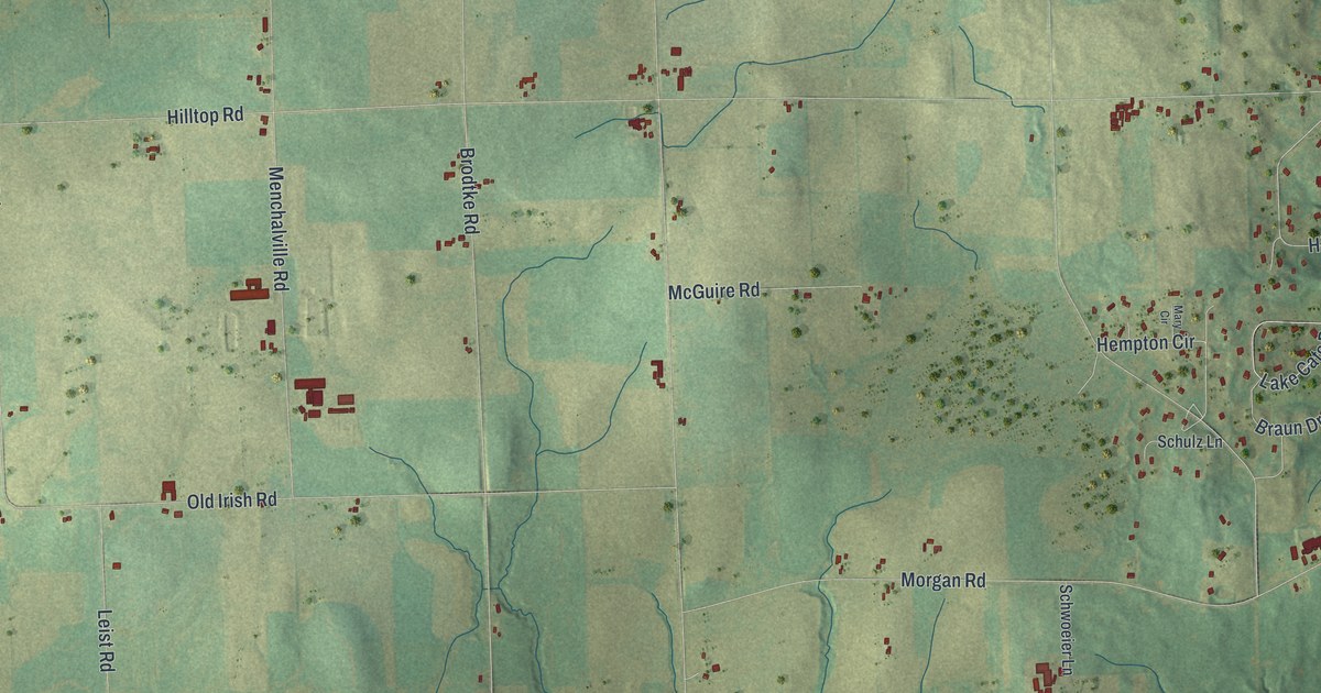
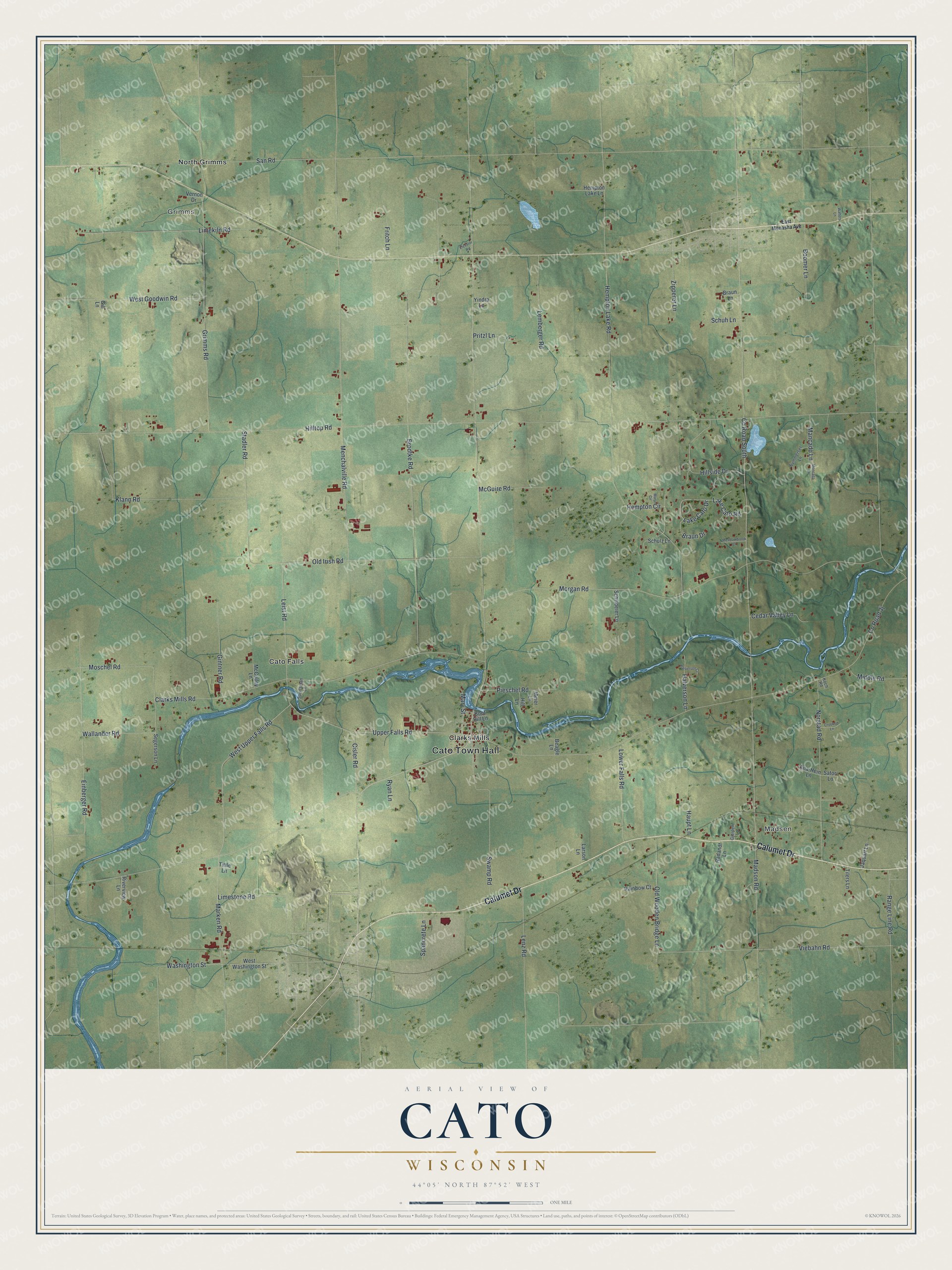
This beautifully detailed map of Cato, Wisconsin was created in 2026 using aerial imagery combined with modern topographical, census, street and landmark data. It's a modern aerial view of Cato in Manitowoc County, Wisconsin, that combines modern data with a vintage aesthetic. The roads feature printed names, and if you look closely you can find your exact house accurately shown in its correct location.
Explore an aerial view of Cato, Wisconsin
On this map you'll find Cato Town Hall, Grimms, Madsen, Cato Falls, Clarks Mills, North Grimms, Calumet Drive, Madson Road, Upper Falls Road, West Upper Falls Road, Co Road South, Pieschel Road, and more. Each red shape is a building, so zoom in on the preview and look for yours.
Cato is a town in Manitowoc County. The Census Bureau counted 1,621 people here in 2020. The map prints the town name in its title panel, with the coordinates below it.
Take a closer look at the Cato map
Names on this map
These names are printed on this map.
Places: Cato Town Hall, Grimms, Madsen, Cato Falls, Clarks Mills and North Grimms.
Streets and roads: Calumet Drive, Madson Road, Upper Falls Road, West Upper Falls Road, County Road South, Pieschel Road, Washington Street, County Road Jj, Hilltop Road, San Road, Brodtke Road, Hempton Lake Road.
More street names, A to Z
Ana-Hein Lane, Beagle Lane, Boomer Lane, Boot Hill Lane, Braun Drive, Braun Lane, Cedar Valley Lane, Cisler Road, Clarks Mills Road, Crooked Lane, East Menasha Avenue, Einberger Road, Elevator Road, Fritch Lane, Gill Lane, Gintner Road, Gjerpen Lane, Grimms Road, Halverson Court, Halverson Lane, Haupt Lane, Hempton Circle, Hempton Lake Lane, Hill Lane, Hillside Drive, Jaquart Lane, Klann Road, Koch Road, Lake Cato Drive, Lake Cato Road, Larson Lane, Leist Road, Lemberger Road, Lenz Road, Limekiln Road, Limestone Road, Lower Falls Road, Mancado Lane, Marken Road, Mary Circle, Mary Street, McCulley Lane, McGuire Road, Meadowbrook Court, Meier Lane, Menchalville Road, Middle Road, Moncada Lane, Morgan Road, Moschel Road, Norstad Road, Old Irish Road, Old Wooden Bridge Lane, Pritzl Lane, Radandt Lane, Rainbow Court, Range Line Road, Riverview Lane, Ryan Lane, Satori Lane, Schuh Lane, Schulz Lane, Schwoeier Lane, Segerson Lane, Spancrete Lane, Sportsman Lane, Stadler Road, Summerset Lane, Swamp Road, Tilers Lane, Tittle Lane, Vernon Drive, Viebahn Road, Wallander Road, Walters Lane, West Goodwin Road, West Washington Street, Yindra Lane, Zipperer Lane.
Created by KNOWOL in 2026. The buildings are small red shapes, the roads carry their printed names, and shaded relief shows the shape of the land. The title panel reads "AERIAL VIEW OF CATO WISCONSIN" with 44°05' NORTH 87°52' WEST.
It looks right in a kitchen, an office or a den, and it's a gift for anyone who grew up in Cato or moved away. Open the preview and find your street. See sizes and frames for the Cato map.