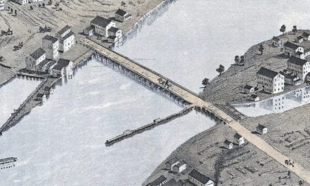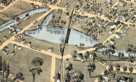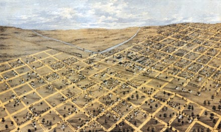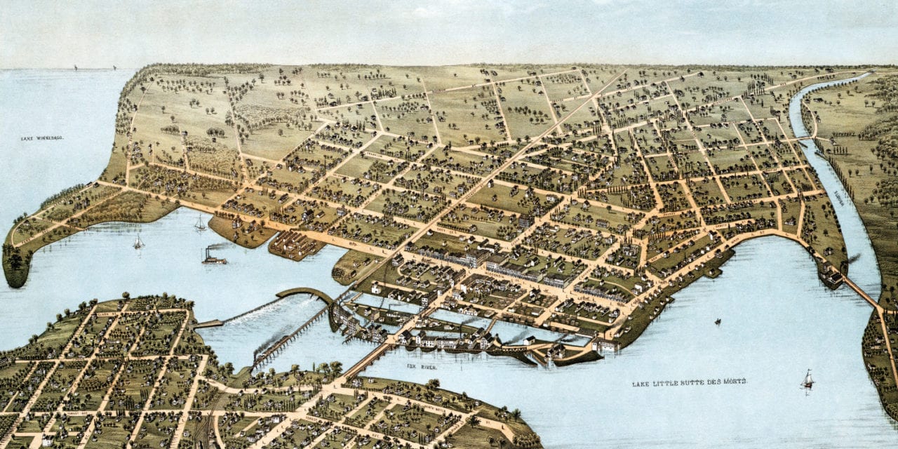
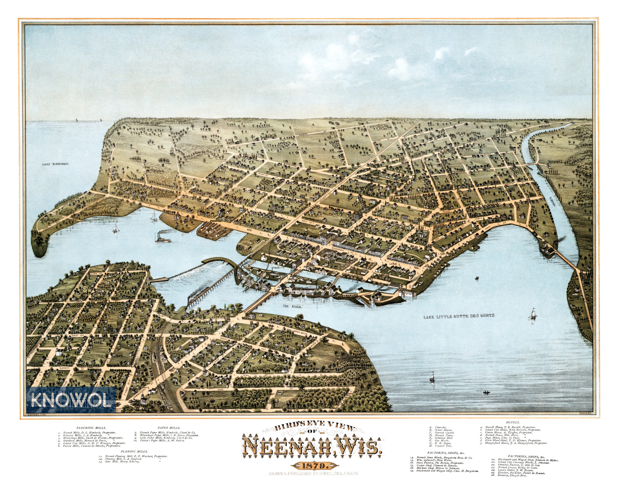
This map of Neenah, Wisconsin was created in 1879 by Henry Wellge, a prominent 19th century map maker. The map shows a bird’s eye view of Neenah as it was, including street names and old landmarks.
Landmarks on the map include Ehrgott Brothers Brewery, Neenah Stove Works, Machine Shops, Blacksmith & Wagon Shop, Island City Carriage Works, Flouring Mills, Paper Mills, Planing Mills, Churches, School Houses, Hotels, and more.
This historic map of Neenah, WI has been restored by KNOWOL. Reproductions of the map are available here.
Map of Neenah, Wisconsin in 1879
This historic map of Neenah will make an attractive addition to your office, library, or den and can even be used to teach children the geography and history of the area. When you’re done exploring, click here to get your copy.