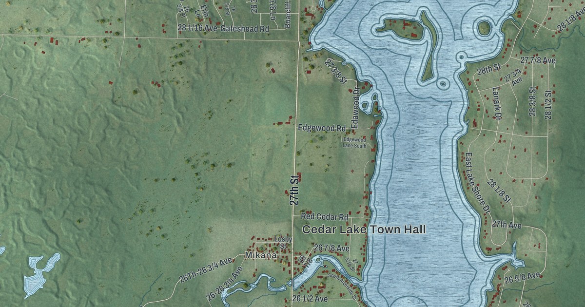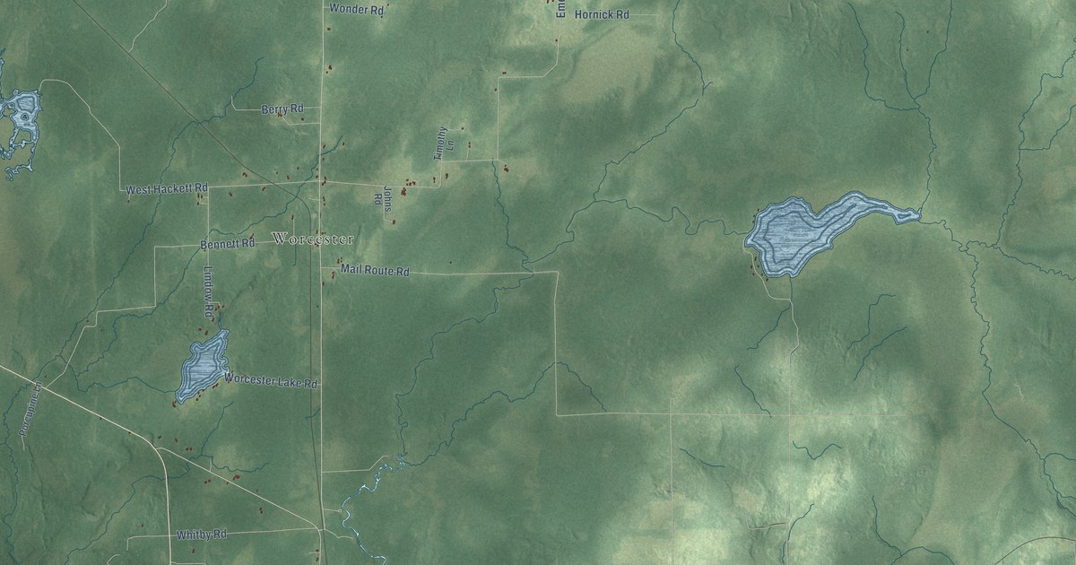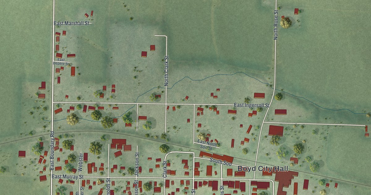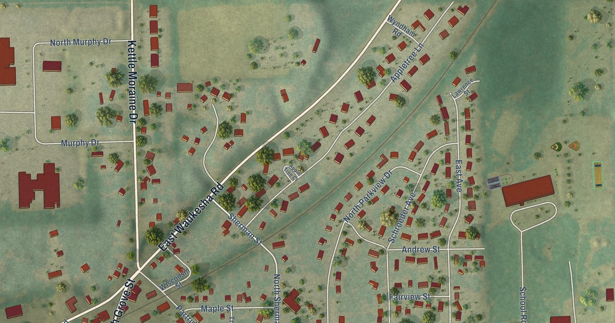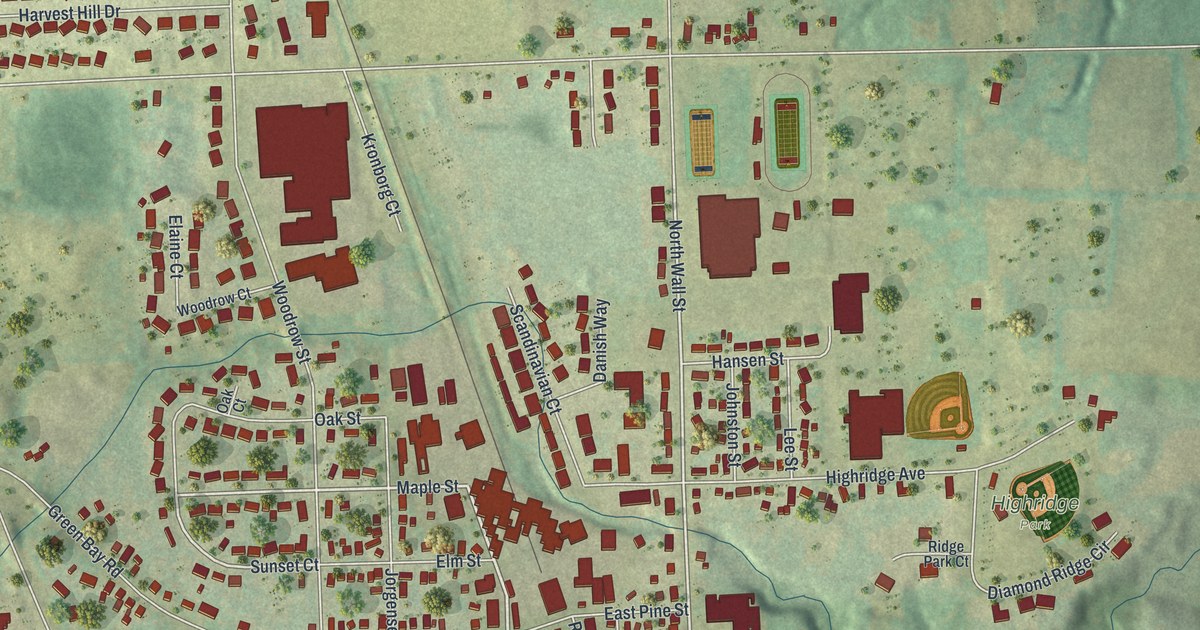
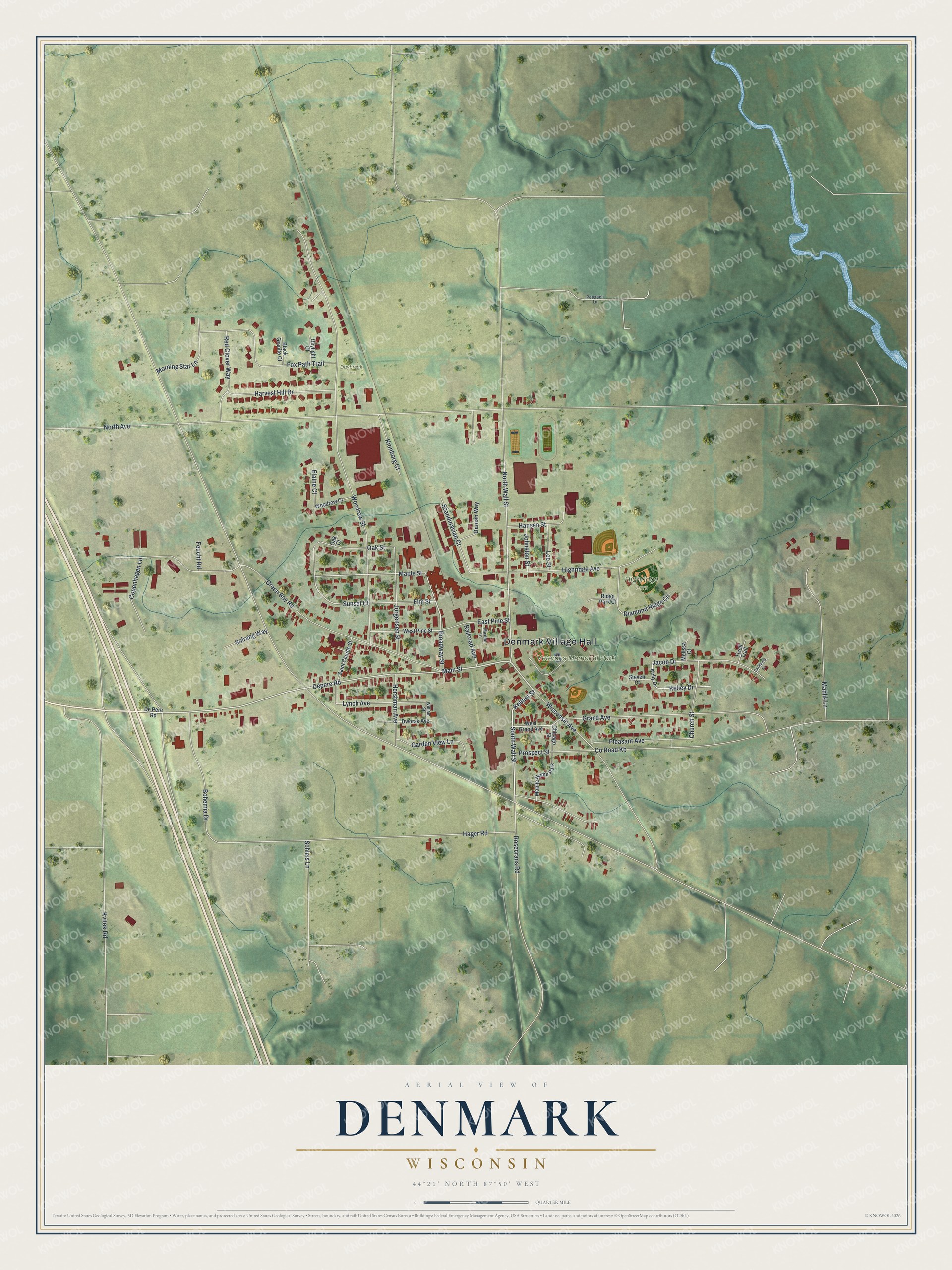
This beautifully detailed map of Denmark, Wisconsin was created in 2026 using aerial imagery combined with modern topographical, census, street and landmark data. It's a modern aerial view of Denmark in Brown County, Wisconsin, that combines modern data with a vintage aesthetic. The roads feature printed names, and if you look closely you can find your exact house accurately shown in its correct location.
Explore an aerial view of Denmark, Wisconsin
On this map you'll find Denmark Village Hall, Veterans Memorial Park, Highridge Park, Daybreak Park, Main Street, South Wall Street, Broadway Street, Depere Road, Maple Street, Co Road Kb, North Wall Street, Sunset Court, and more. Each red shape is a building, so zoom in on the preview and look for yours.
Denmark has a story worth telling. The History of Brown County puts it this way: "A postoffice was established in New Denmark as early as 1848, called Cooperstown, but was afterward changed to Denmark."
Denmark is a village in Brown County. The Census Bureau counted 2,408 people here in 2020.
Take a closer look at the Denmark map
Names on this map
These names are printed on this map.
Places: Denmark Village Hall, Veterans Memorial Park, Highridge Park, Daybreak Park and Mobile Home Park.
Streets and roads: Main Street, South Wall Street, Broadway Street, Depere Road, Maple Street, County Road Kb, North Wall Street, Sunset Court, Kellner Street, Lynch Avenue, North Avenue, Woodrow Street.
More street names, A to Z
Black Granite Court, Bohemia Drive, Carlsburg Court, Chicago Street, Church Street, Copenhagen Lane, Danish Way, Daylight Court, De Pere Road, Diamond Ridge Circle, Dworak Avenue, East Pine Street, Elaine Court, Elm Street, Feucht Road, Fox Path Trail, Garden View Lane, Grand Avenue, Green Bay Road, Hager Road, Hansen Street, Harvest Hill Drive, Hershman Avenue, Highridge Avenue, Jacob Drive, Johnston Street, Jorgensen Street, Kelley Drive, Kelly Drive, Kronborg Court, Kvitek Road, Lee Street, Mahlik Lane, Maiden Lane, Melissa Court, Morning Star Lane, Oak Court, Oak Street, Petersen Lane, Pleasant Avenue, Prospect Street, Railroad Avenue, Red Clover Way, Ridge Park Court, Rosecrans Road, Saint Claude Street, Scandinavian Court, Schleis Lane, Solrang Way, Steven Court, Tivoli Trail, West Grand Avenue, West Pine Street, William Street, Wisconsin Avenue, Woodrow Court.
Created by KNOWOL in 2026. The buildings are small red shapes, the roads carry their printed names, and shaded relief shows the shape of the land. The title panel reads "AERIAL VIEW OF DENMARK, WISCONSIN" with 44°21' NORTH 87°50' WEST.
It looks right in a kitchen, an office or a den, and it's a gift for anyone who grew up in Denmark or moved away. Open the preview and find your street. See sizes and frames for the Denmark map.