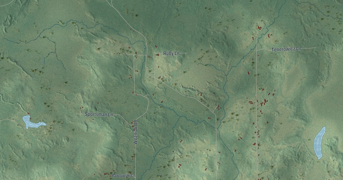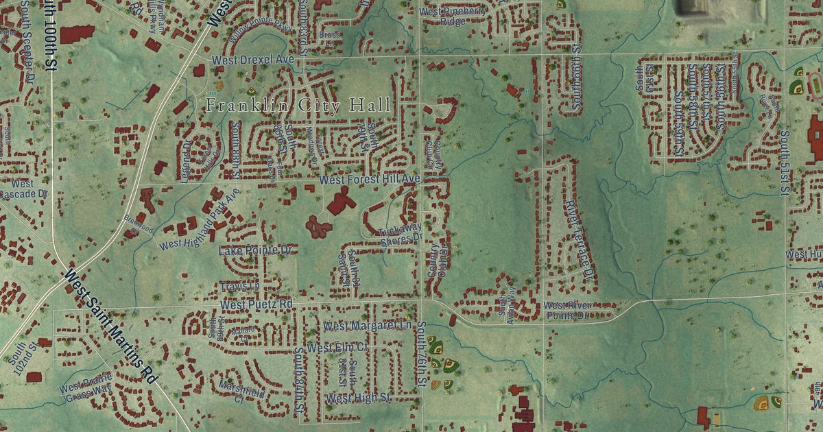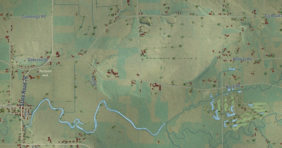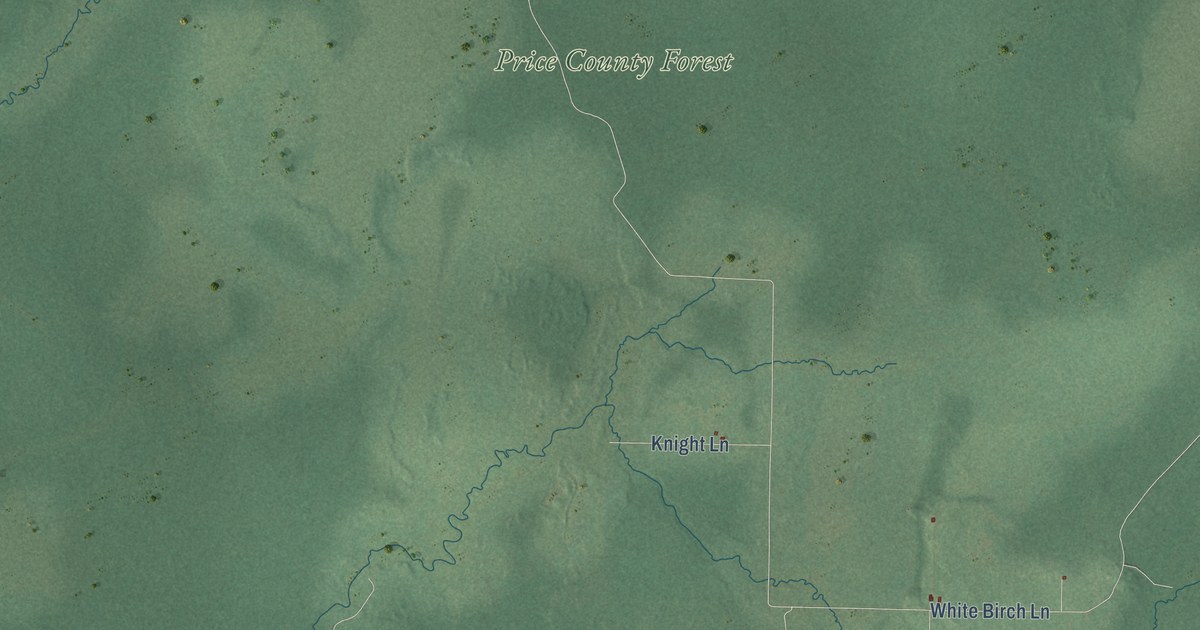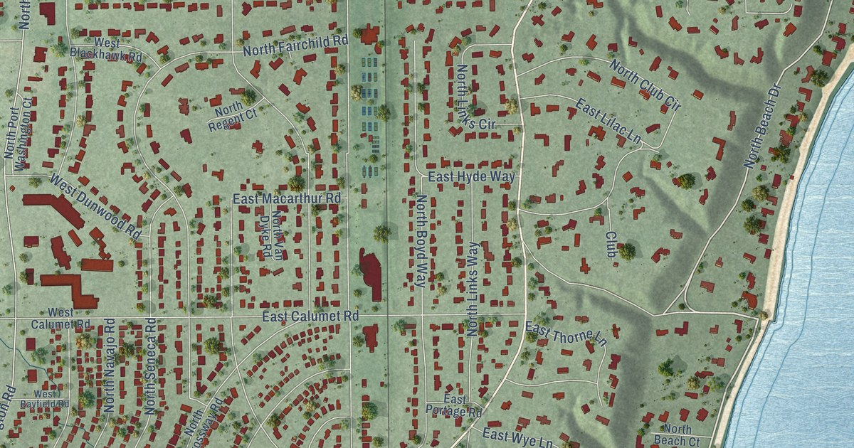
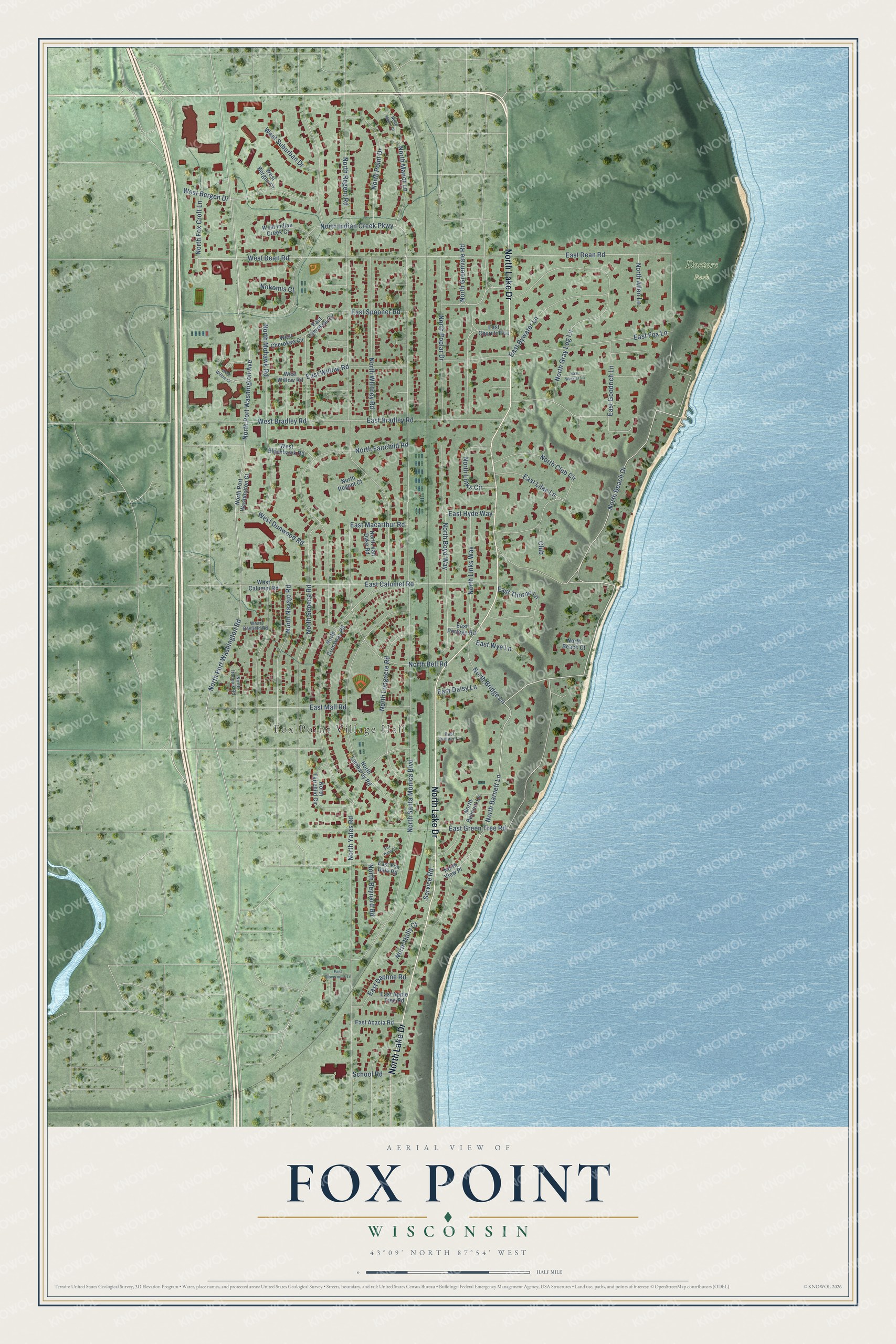
This beautifully detailed map of Fox Point, Wisconsin was created in 2026 using aerial imagery combined with modern topographical, census, street and landmark data. It's a modern aerial view of Fox Point in Milwaukee County, Wisconsin, that combines modern data with a vintage aesthetic. The roads feature printed names, and if you look closely you can find your exact house accurately shown in its correct location.
Explore an aerial view of Fox Point, Wisconsin
On this map you'll find Fox Point Village Hall, Doctors Park, North Lake Drive, North Beach Drive, North Barnett Lane, West Dean Road, North Seneca Road, East Spooner Road, North Links Way, East Dean Road, North Bell Road, North Santa Monica Boulevard, and more. Each red shape is a building, so zoom in on the preview and look for yours.
Fox Point has a story worth telling. The History of Milwaukee City and County puts it this way: "About 1884 Mr. Donges began to invest in real estate, purchasing first the property which is now known as Fox Point."
Fox Point is a village in Milwaukee County. The Census Bureau counted 6,934 people here in 2020.
Take a closer look at the Fox Point map
Names on this map
These names are printed on this map.
Places: Fox Point Village Hall and Doctors Park.
Streets and roads: North Lake Drive, North Beach Drive, North Barnett Lane, West Dean Road, North Seneca Road, East Spooner Road, North Links Way, East Dean Road, North Bell Road, North Santa Monica Boulevard, North Port Washington Avenue, North Port Washington Road.
More street names, A to Z
Club, East Acacia Road, East Apple Tree Road, East Bradley Road, East Bywater Lane, East Calumet Road, East Cherokee Circle, East Churchill Lane, East Clovernook Lane, East Daisy Lane, East Daphne Road, East Fox Dale Road, East Fox Lane, East Goodrich Lane, East Green Tree Road, East Hyde Way, East Juniper Lane, East Lilac Lane, East Macarthur Road, East Mall Road, East Portage Road, East Thorne Lane, East Willow Road, East Winkler Lane, East Wye Lane, Fox Dale Court, Nokomis Court, North Allen Lane, North Beach Court, North Belmont Lane, North Boyd Way, North Bridge Lane, North Club Circle, North Crossway Road, North Fairchild Circle, North Fairchild Road, North Fox Croft Lane, North Gray Log Lane, North Greenvale Road, North Holly Court, North Indian Creek Parkway, North Iroquois Road, North Links Circle, North Lombardy Road, North Longacre Road, North Manor Court, North Manor Lane, North Mohawk Road, North Navajo Road, North Point Drive, North Poplar Drive, North Port Washington Court, North Regent Court, North Regent Road, North Reynard Road, North Van Dyke Road, North View Place, North Whitney Road, North Yates Road, School Road, Service Road, West Bayfield Road, West Bergen Court, West Bergen Drive, West Blackhawk Road, West Bradley Road, West Calumet Road, West Cherokee Circle, West Dunwood Road, West Indian Creek Court, West Suburban Drive, West Willow Court, West Willow Road.
Created by KNOWOL in 2026. The buildings are small red shapes, the roads carry their printed names, and shaded relief shows the shape of the land. The title panel reads "AERIAL VIEW OF FOX POINT, WISCONSIN" with 43°09' NORTH 87°54' WEST.
It looks right in a kitchen, an office or a den, and it's a gift for anyone who grew up in Fox Point or moved away. Open the preview and find your street. See sizes and frames for the Fox Point map.