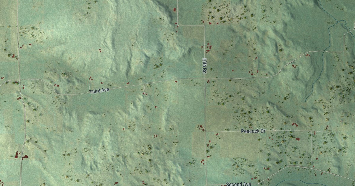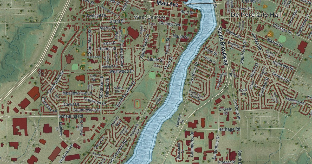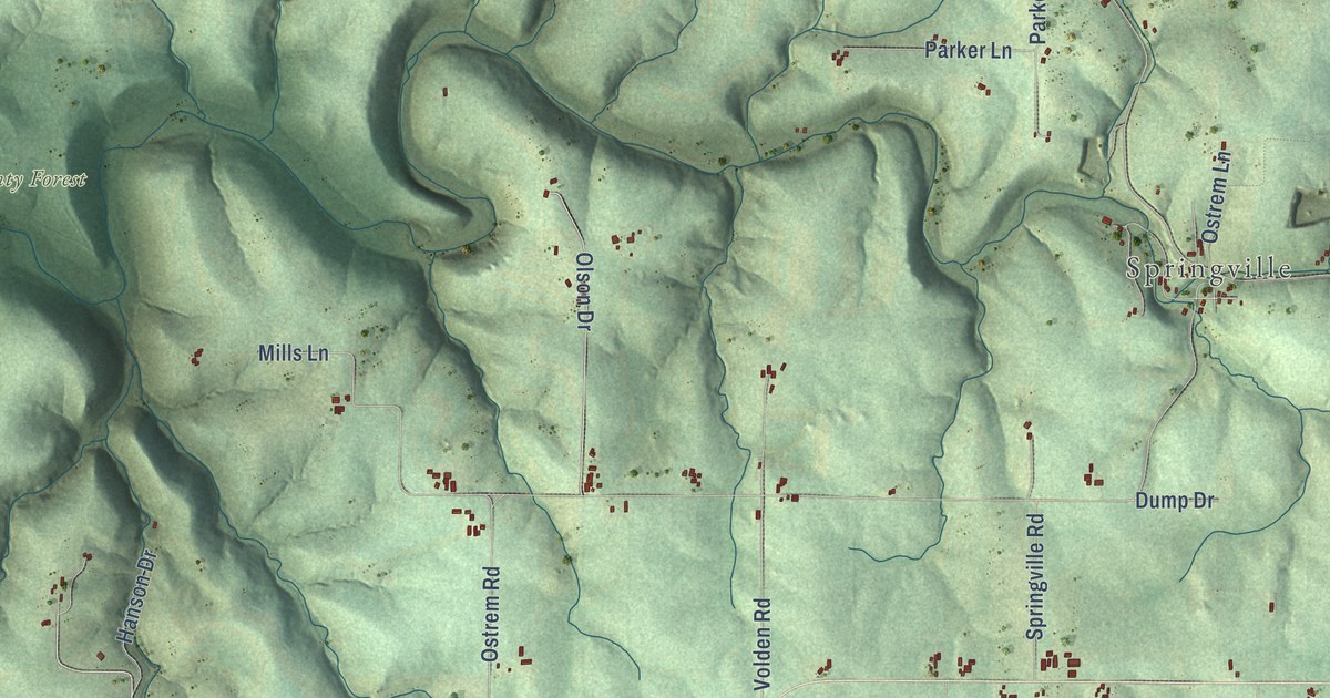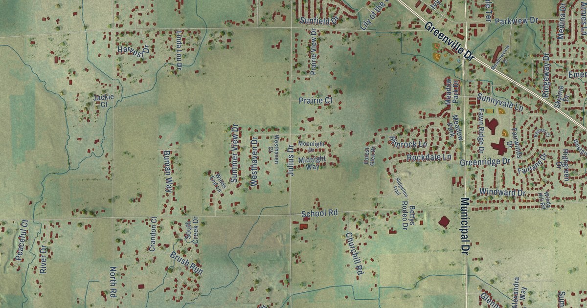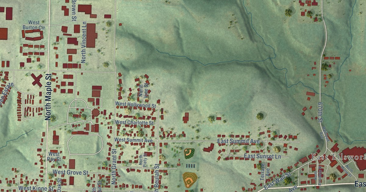
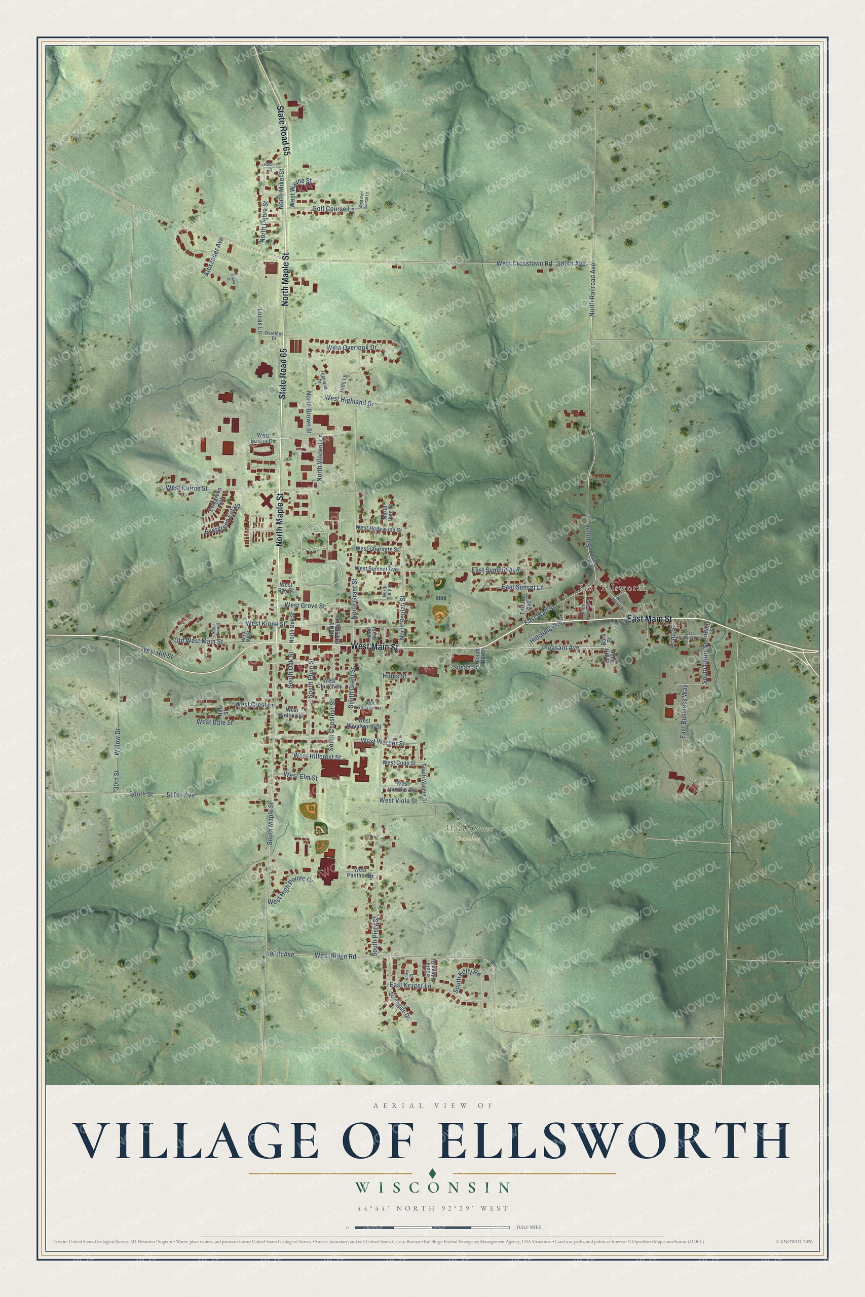
This beautifully detailed map of Ellsworth, Wisconsin was created in 2026 using aerial imagery combined with modern topographical, census, street and landmark data. It's a modern aerial view of Ellsworth in Pierce County, Wisconsin, that combines modern data with a vintage aesthetic. The roads feature printed names, and if you look closely you can find your exact house accurately shown in its correct location.
Explore an aerial view of Ellsworth, Wisconsin
On this map you'll find East Ellsworth, Maple Grove Cemetery, East Main Street, West Main Street, State Road 65, North Maple Street, West Warner Street, South Grant Street, Susan Street, Pleasant Avenue, West Hillcrest Street, South Maple Street, and more. Each red shape is a building, so zoom in on the preview and look for yours.
Ellsworth has a story worth telling. The Pierce County History puts it this way: "Ellsworth doubled the size of its building in 1907 and constructed a new modern high school building in 1931."
Ellsworth is a village in Pierce County. The Census Bureau counted 3,348 people here in 2020.
Take a closer look at the Ellsworth map
Names on this map
These names are printed on this map.
Places: East Ellsworth and Maple Grove Cemetery.
Streets and roads: East Main Street, West Main Street, State Road 65, North Maple Street, West Warner Street, South Grant Street, Susan Street, Pleasant Avenue, West Hillcrest Street, South Maple Street, East Wall Street, Old West Main Street.
More street names, A to Z
490th Avenue, 510th Avenue, 580th Avenue, 670th Street, 730th Street, Alexander Avenue, Anika Court, Bork Street, East Business Way, East Campbell Street, East Kruger Lane, East Summit Avenue, East Sunset Lane, Evergreen Est, Evergreen Estate, Giana Court, Golf Course Lane, Halls Hill Street, Highland Drive, Hillsdale Avenue, Hills Lane, Hill Street, Hines Street, Lucas Lane, North Bay Street, North Beulah Street, North Broadway Street, North Brown Street, North Chestnut Street, North Dana Street, North Debra Street, North Grant Street, North Ida Street, North Mikel Street, North Morse Street, North Oak Street, North Piety Street, North Railroad Avenue, North Vincent Lane, North Vine Street, Overlook Drive, Pond Street, Rachel Street, Railroad Avenue, South Chestnut Street, South Dar Street, Southgate Drive, South Hilden Drive, South Kelly Road, South Oak Street, South Piety Street, South Plum Street, South Street, South Utility Street, South Walnut Street, Terrace Avenue, Utility Street, West Burton Circle, West Cairns Street, West Charlotte Street, West Church Street, West Cope Street, West Crest Lane, West Crosstown Road, West Dale Street, West Elm Street, West Golf Course Lane, West Grove Street, West Highland Drive, West High Pointe Drive, West Hill Street, West Hollywood Street, West Humble Avenue, West Kinne Street, West Nelson Street, West Overlook Drive, West Panther Drive, West Ray Street, West Ridge Road, West Strickland Street, West Summit Avenue, West Viola Street, West Wayne Street, West Woodworth Street, Willow Drive.
Created by KNOWOL in 2026. The buildings are small red shapes, the roads carry their printed names, and shaded relief shows the shape of the land. The title panel reads "AERIAL VIEW OF VILLAGE OF ELLSWORTH, WISCONSIN" with 44°44' NORTH 92°29' WEST.
It looks right in a kitchen, an office or a den, and it's a gift for anyone who grew up in Ellsworth or moved away. Open the preview and find your street. See sizes and frames for the Ellsworth map.