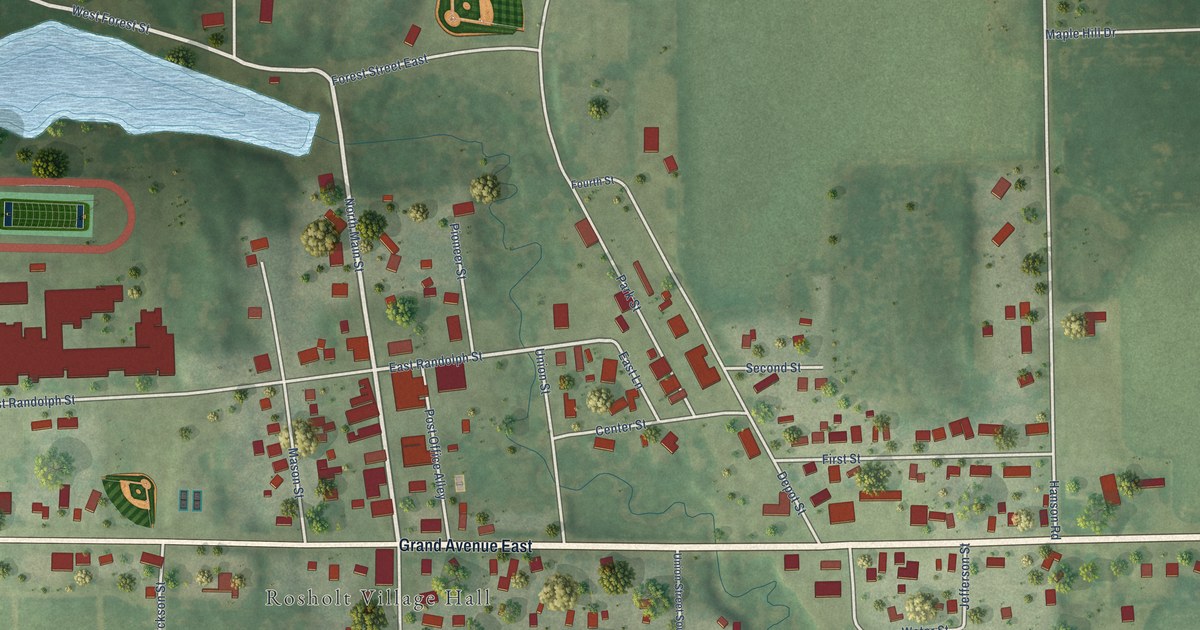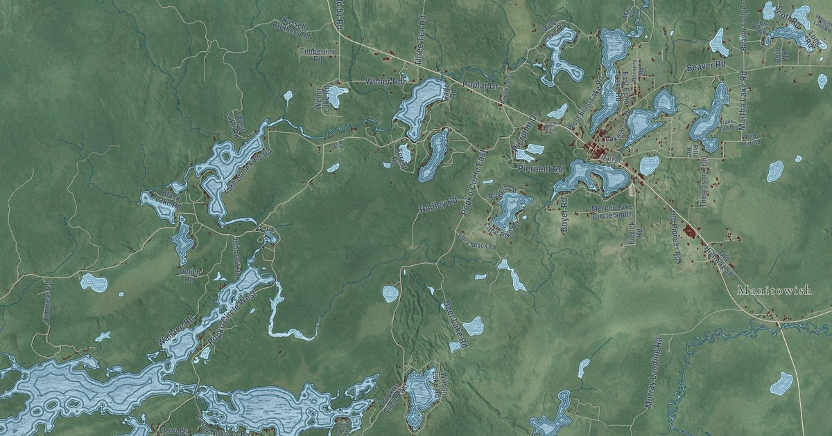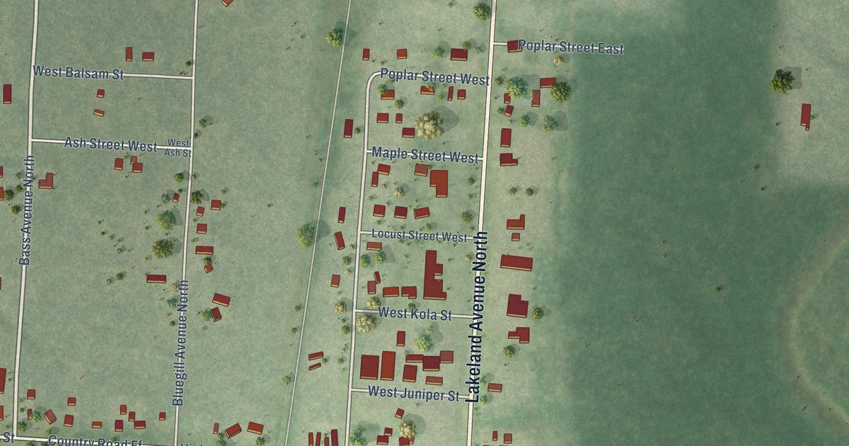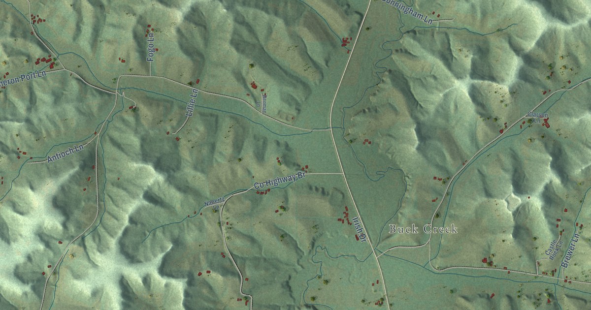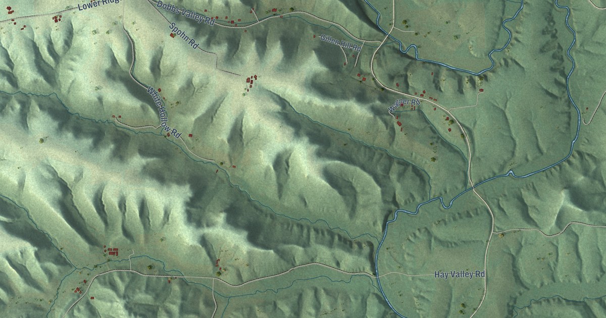
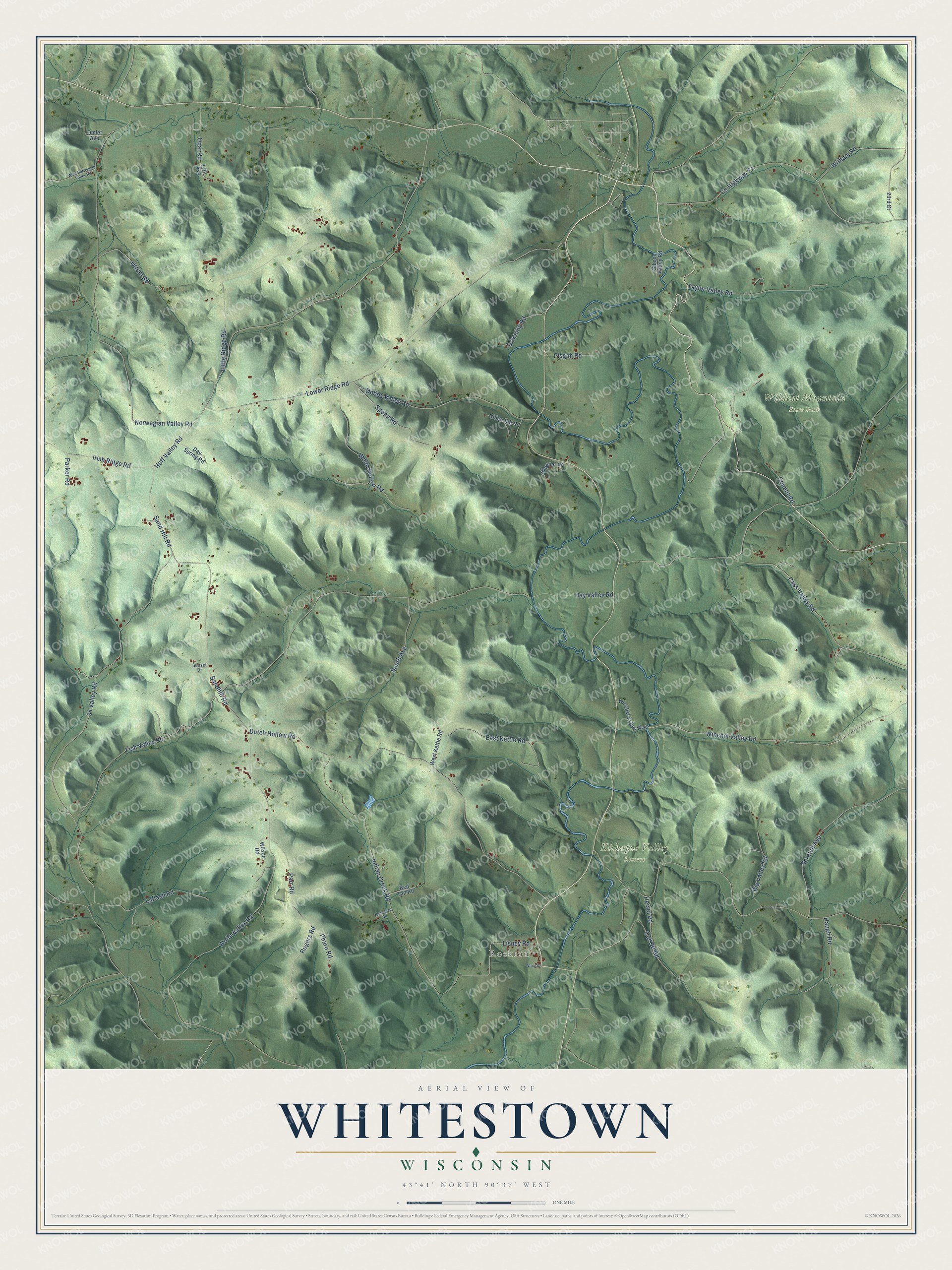
This beautifully detailed map of Whitestown, Wisconsin was created in 2026 using aerial imagery combined with modern topographical, census, street and landmark data. It's a modern aerial view of Whitestown in Vernon County, Wisconsin, that combines modern data with a vintage aesthetic. The roads feature printed names, and if you look closely you can find your exact house accurately shown in its correct location.
Explore an aerial view of Whitestown, Wisconsin
On this map you'll find Rockton, Kickapoo Valley Reserve, Wildcat Mountain State Park, Hoff Valley Road, Rogers Road, Winchel Valley Road, Parr Road, Opal Road, Hay Valley Road, Lower Ridge Road, Dutch Hollow Road, Norwegian Valley Road, and more. Each red shape is a building, so zoom in on the preview and look for yours.
Here is a piece of Whitestown history, in the words of the record. The Internet Archive puts it this way: "It seems that at this session the message of
the President in relation to the opening war
measures was brought before the board."
Whitestown is a town in Vernon County. The Census Bureau counted 623 people here in 2020.
Take a closer look at the Whitestown map
Names on this map
These names are printed on this map.
Places: Rockton, Kickapoo Valley Reserve and Wildcat Mountain State Park.
Streets and roads: Hoff Valley Road, Rogers Road, Winchel Valley Road, Parr Road, Opal Road, Hay Valley Road, Lower Ridge Road, Dutch Hollow Road, Norwegian Valley Road, 24 Valley Road, Wolfe Valley Road, Indian Creek Road.
More street names, A to Z
17th Avenue, 23rd Court, Big Valley Road, Cass Valley Road, Conant Road, County Highway Zz, Cut Off Road, Day Spring Road, Dobbs Valley Road, Downing Road, East Kettle Road, Fish Valley Road, Gibson Valley Road, Gillen Hill Road, Haugh Road, Heisel Road, Hemstead Road, Irish Ridge Road, Laflash Road, Lisney Road, Little Ridge Road, Omlet Avenue, Ottum Road, Parker Road, Pharo Road, Pisgah Road, Red Tail Road, Sandhill Road, Sand Hill Road, Scratch Avenue, South Avenue, Spohn Road, Sunset Drive, Taylor Valley Road, Wagner Road, West Kettle Road, West Norwegian Valley Road, White Hollow Road, Wilson Road, Winchel Valley Avenue, Witham Road, Wong Drive.
Created by KNOWOL in 2026. The buildings are small red shapes, the roads carry their printed names, and shaded relief shows the shape of the land. The title panel reads "AERIAL VIEW OF WHITESTOWN, WISCONSIN" with 43°41' NORTH 90°37' WEST.
It suits a den, a classroom or a front hall, and it makes a gift for anyone with Whitestown roots. Open the preview and find the block you know. See sizes and frames for the Whitestown map.