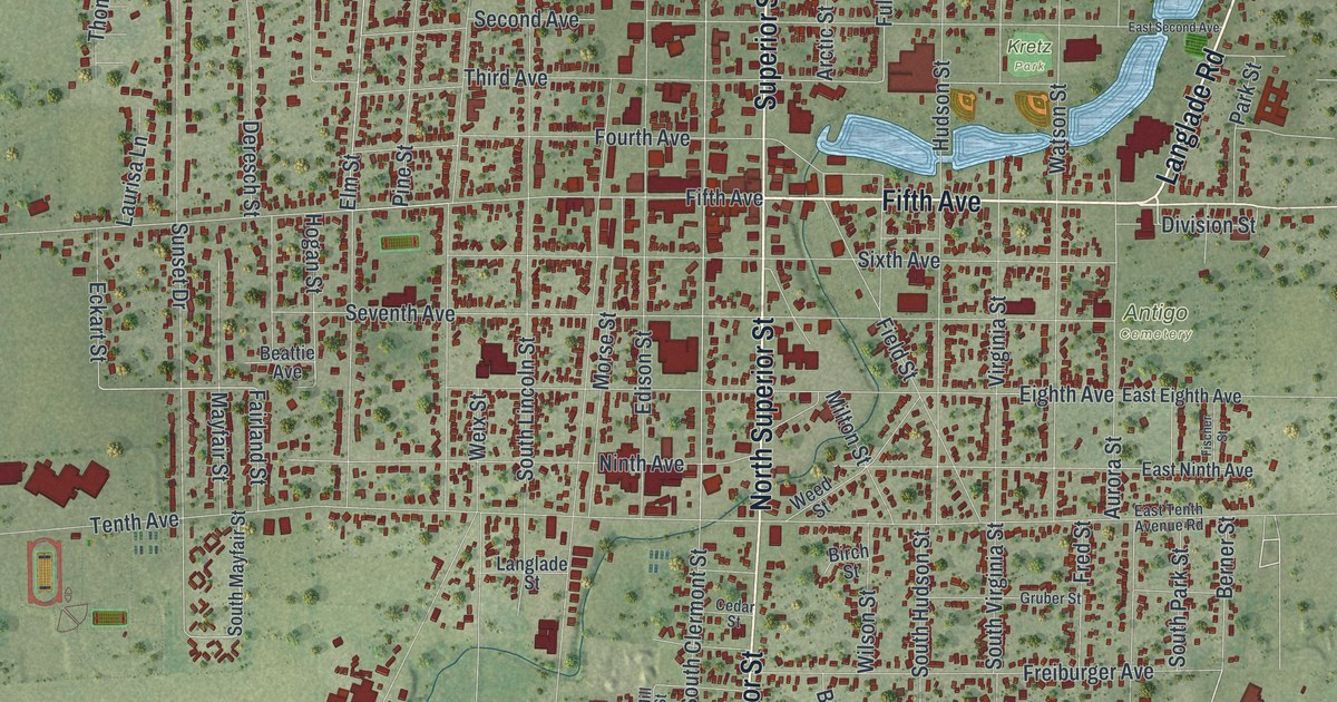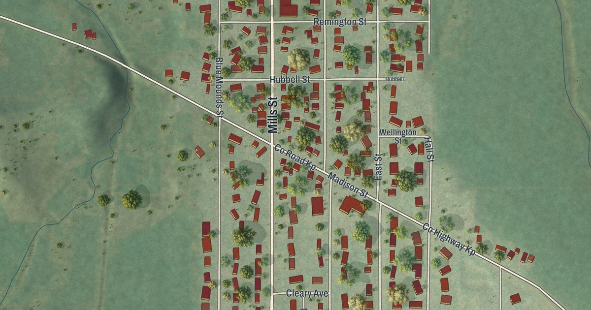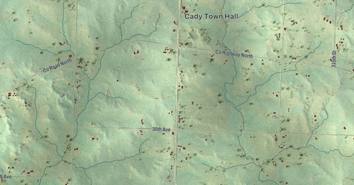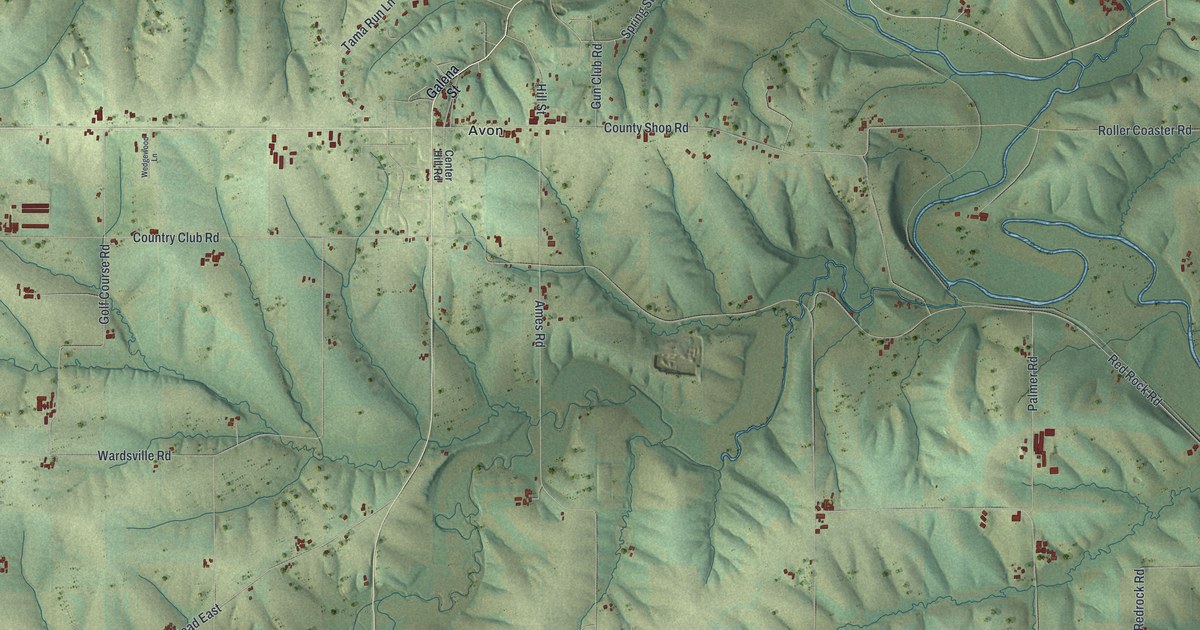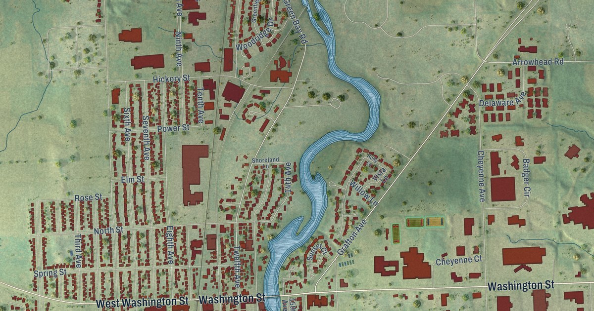
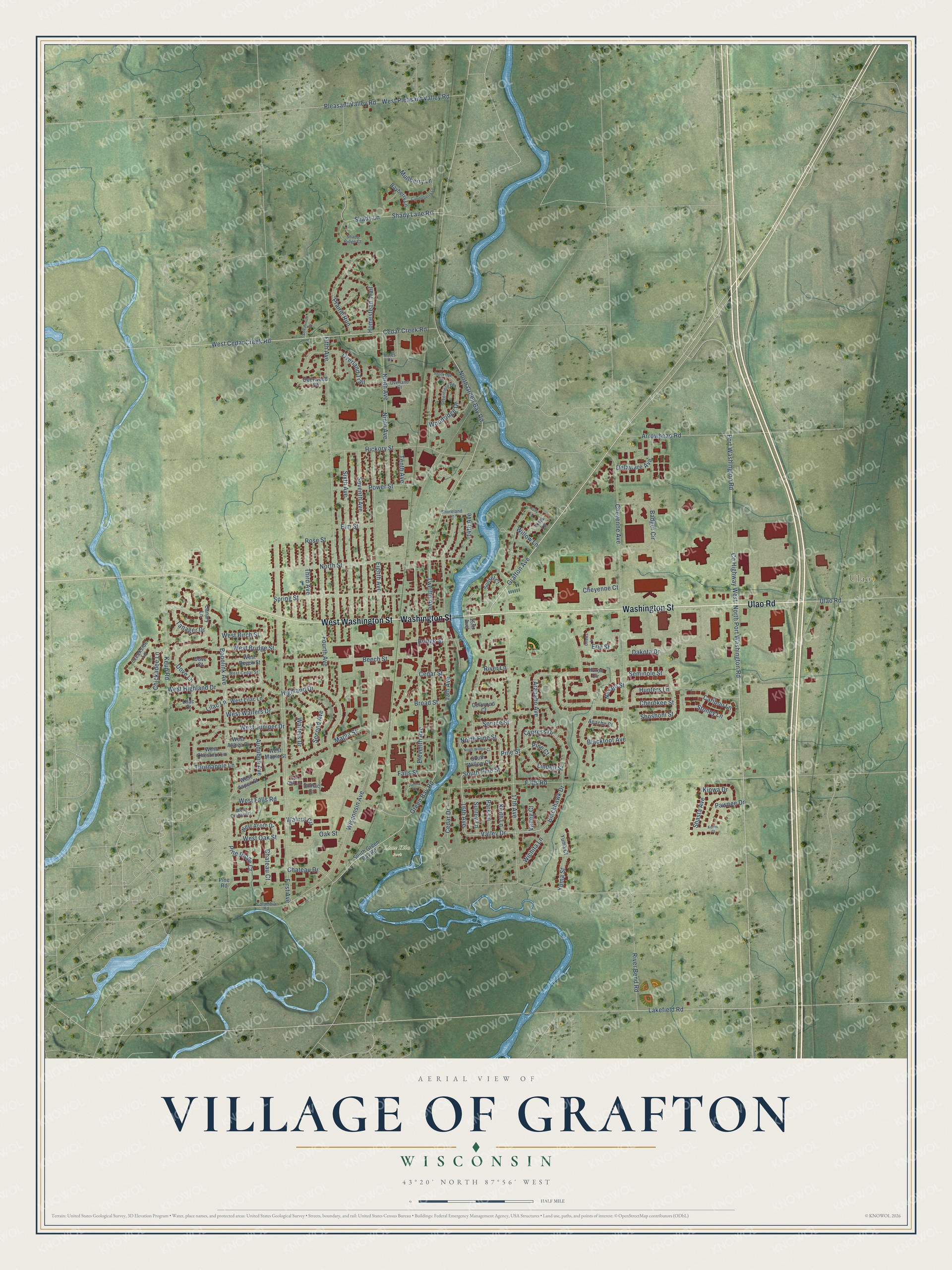
This beautifully detailed map of Grafton, Wisconsin was created in 2026 using aerial imagery combined with modern topographical, census, street and landmark data. It's a modern aerial view of Grafton in Ozaukee County, Wisconsin, that combines modern data with a vintage aesthetic. The roads feature printed names, and if you look closely you can find your exact house accurately shown in its correct location.
Explore an aerial view of Grafton, Wisconsin
On this map you'll find Ulao, Lime Kiln Park, Ulao Road, Washington Street, West Washington Street, Grafton Avenue, Pine Street, Twelfth Avenue, 16th Avenue, North Pine Street, Valley Drive, Cedar Creek Road, and more. Each red shape is a building, so zoom in on the preview and look for yours.
Grafton has a story worth telling. The Internet Archive puts it this way: "Timothy Wooden followed close on
the heels of Drake, and some believe that he might honestly claim to be the first settler."
Grafton is a village in Ozaukee County. The Census Bureau counted 12,094 people here in 2020.
Take a closer look at the Grafton map
Names on this map
These names are printed on this map.
Places: Ulao and Lime Kiln Park.
Streets and roads: Ulao Road, Washington Street, West Washington Street, Grafton Avenue, Pine Street, Twelfth Avenue, 16th Avenue, North Pine Street, Valley Drive, Cedar Creek Road, North Green Bay Road, Arrowhead Road.
More street names, A to Z
13th Avenue, 14th Avenue, 15th Avenue, 17th Avenue, Apache Court, Arapaho Avenue, Audubon Avenue, Badger Circle, Bayberry Lane, Beech Street, Blackfoot Avenue, Blackhawk Drive, Bobolink Avenue, Bridge Street, Broad Street, Brookside Drive, Bur Oak Lane, Canary Lane, Candleberry Lane, Caribou Lane, Cedar Drive, Cedar Street, Chateau Court, Chateau Drive, Cherokee Street, Cheyenne Avenue, Cheyenne Court, Chickadee Lane, Columbia Road, County Highway West, Creekside Lane, Cypress Drive, Dakota Drive, Deerwood Court, Delaware Avenue, Dellwood Court, Dove Court, Dove Lane, Eighth Avenue, Eleventh Avenue, Elm Street, Erie Street, Falls Road, Falls Street, Fifth Avenue, First Avenue, Fourth Avenue, Green Bay Road, Greenfield Drive, Hickory Street, Highland Drive, Holly Lane, Homestead Trail, Hunters Lane, Huron Circle, Keith Lane, Keres Court, Keup Road, Kiowa Drive, Lakefield Road, Lilac Court, Lilac Lane, Linden Street, Maple Street, Moles Drive, Mullberry Lane, Navajo Street, Ninth Avenue, North Port Washington Road, North Street, North Willow Court, Oak Street, Ottawa Lane, Overland Court, Overland Trail, Park Lane, Pawnee Drive, Pine Court, Pine Ridge Court, Pine Road, Pleasant Valley Road, Port Washington Road, Power Street, Prairie Run, River Bend Road, River Lane, Rose Street, Second Avenue, Seminole Street, Seventh Avenue, Shady Lane, Shady Lane Road, Shady Ridge Court, Shasta Avenue, Shoreland Lane, Shoshoni Street, Sixth Avenue, South Green Bay Road, South Pine Street, South Willow Court, Spring Street, Spruce Street, Stoney Lane, Streamside Court, Sumac Court, Sunset Court, Surrey Lane, Tanager Drive, Tenth Avenue, Third Avenue, Thornapple Lane, Valleg Court, Vienna Court, Vista Lane, Walnut Circle, Walters Drive, West Acorn Drive, West Althea Drive, West Aspen Street, West Beech Street, West Birch Street, West Bridge Street, West Cedar Creek Road, West Cedar Street, West Chestnut Lane, West Falls Road, West Highland Drive, West Juniper Drive, West Lilac Lane, West Maple Street, West Oak Street, West Orchard Drive, West Pleasant Valley Road, West Walters Drive, Wichita Lane, Willow Lane, Wisconsin Avenue, Woodridge Drive, Yuma Court, Yuma Street.
Created by KNOWOL in 2026. The buildings are small red shapes, the roads carry their printed names, and shaded relief shows the shape of the land. The title panel reads "AERIAL VIEW OF VILLAGE OF GRAFTON, WISCONSIN" with 43°20' NORTH 87°56' WEST.
It looks right in a kitchen, an office or a den, and it's a gift for anyone who grew up in Grafton or moved away. Open the preview and find your street. See sizes and frames for the Grafton map.