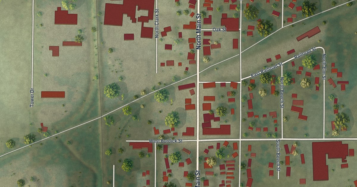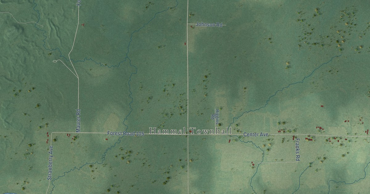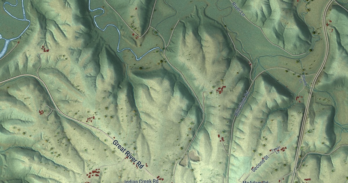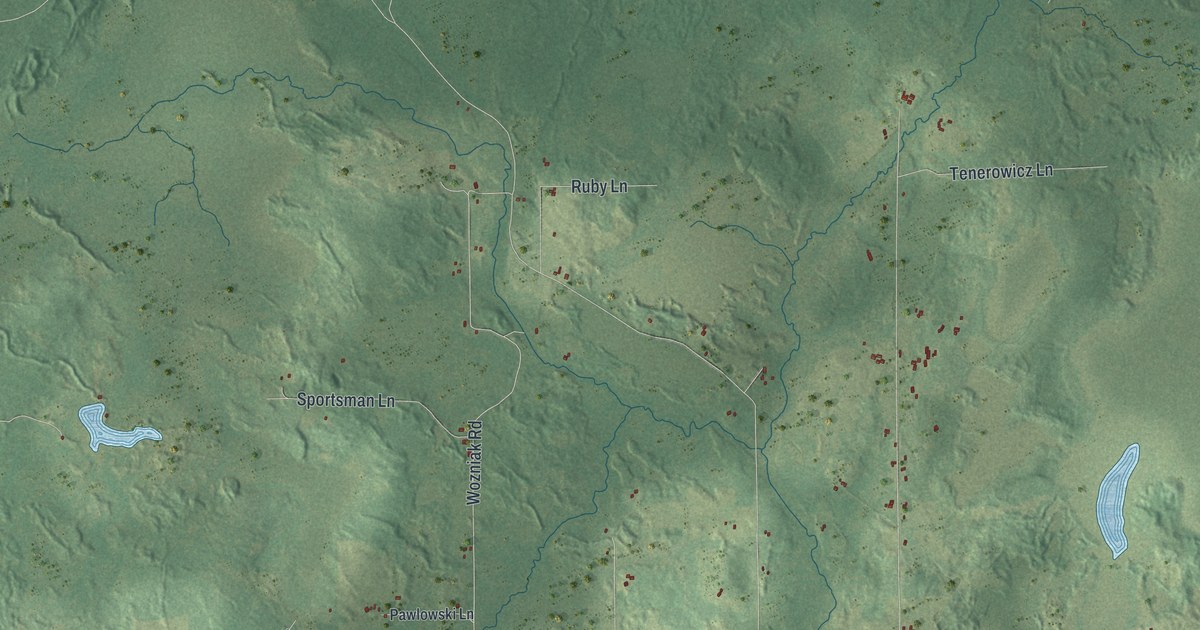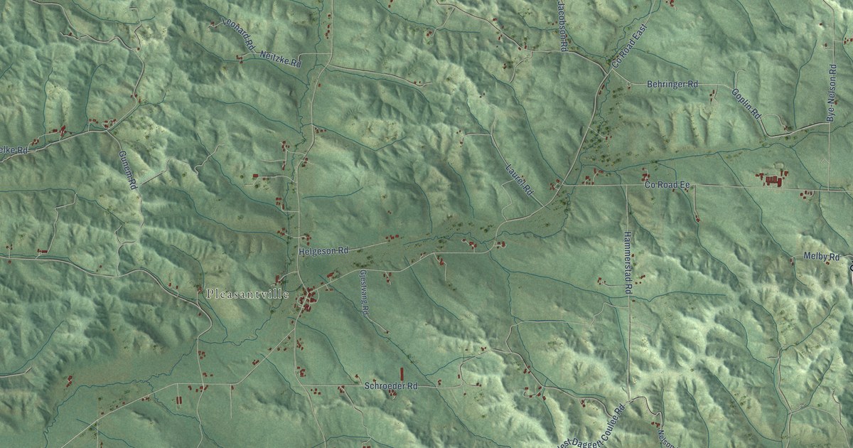
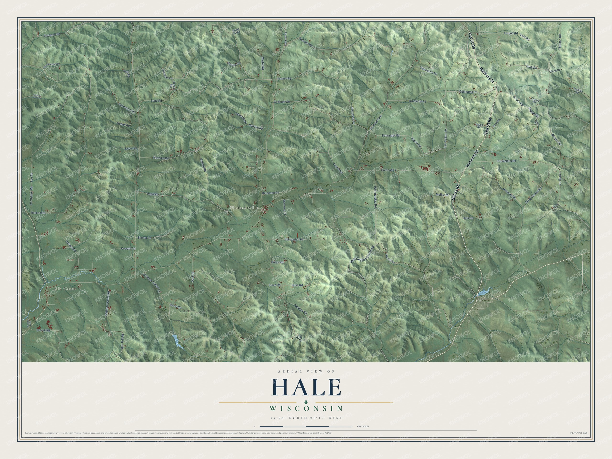
This beautifully detailed map of Hale, Wisconsin was created in 2026 using aerial imagery combined with modern topographical, census, street and landmark data. It's a modern aerial view of Hale in Trempealeau County, Wisconsin, that combines modern data with a vintage aesthetic. The roads feature printed names, and if you look closely you can find your exact house accurately shown in its correct location.
Explore an aerial view of Hale, Wisconsin
On this map you'll find Elk Creek, Pleasantville, Harmony Street, Old 53 Road, Torpen Road, Vold Road, Co Road East, Roskos Road, Co Road Oo, Lee Road, Huskelhus Road, Pawelke Road, and more. Each red shape is a building, so zoom in on the preview and look for yours.
Here is a piece of Hale history, in the words of the record. The History of Trempealeau County puts it this way: "The first settler in Pleasant valley above Burnside was George Hale, the pioneer of the township that now bears his name. He came in 1858 and settled nine miles up Elk Creek."
Hale is a town in Trempealeau County. The Census Bureau counted 1,061 people here in 2020.
Take a closer look at the Hale map
Names on this map
These names are printed on this map.
Places: Elk Creek and Pleasantville.
Streets and roads: Harmony Street, Old 53 Road, Torpen Road, Vold Road, County Road East, Roskos Road, County Road Oo, Lee Road, Huskelhus Road, Pawelke Road, Bye-Nelson Road, Holmen Road.
More street names, A to Z
Arts Road, Bautch Road, Behringer Road, Blount Road, Bolen Road, Castad Road, County Road Ee, Dahl Road, Dubiel Road, Eimon Road, Elliott Road, Erickson Road, Franson Road, Gavel Road, Gierok Road, Gjestvang Road, Gleason Lane, Goplin Road, Gunderson Road, Gunem Road, Guse Road, Hagen Road, Halama Road, Halvorson Road, Hammerstad Road, Hanson Road, Helgeson Road, Herman Road, Isom Road, Jacobson Road, Johnson Valley Road, Karlstad Road, Kens Road, Kindschy Road, Knudtson Valley Road, Knutson Valley Road, Kowahl Road, Lagner Road, Laruik Road, Laurel Road, Leonard Road, Loga Road, Lund Road, Martin Road, Melby Road, Neitzke Road, Nelson Road, North 36th Road, Oklahoma Road, Olafs Road, Osborne Road, Rombalski Road, Route 66 Road, Schroeder Road, Skoyen Road, Steig Coulee Road, Stuve Road, Sveum Road, Sylvin Road, Thoma Road, Thomley Road, Thompson Road, Thorson Road, Von Uhl Road, West Daggett Coulee Road, Witt Hill Road.
Created by KNOWOL in 2026. The buildings are small red shapes, the roads carry their printed names, and shaded relief shows the shape of the land. The title panel reads "AERIAL VIEW OF HALE, WISCONSIN" with 44°28' NORTH 91°17' WEST.
It suits a den, a classroom or a front hall, and it makes a gift for anyone with Hale roots. Open the preview and find the block you know. See sizes and frames for the Hale map.