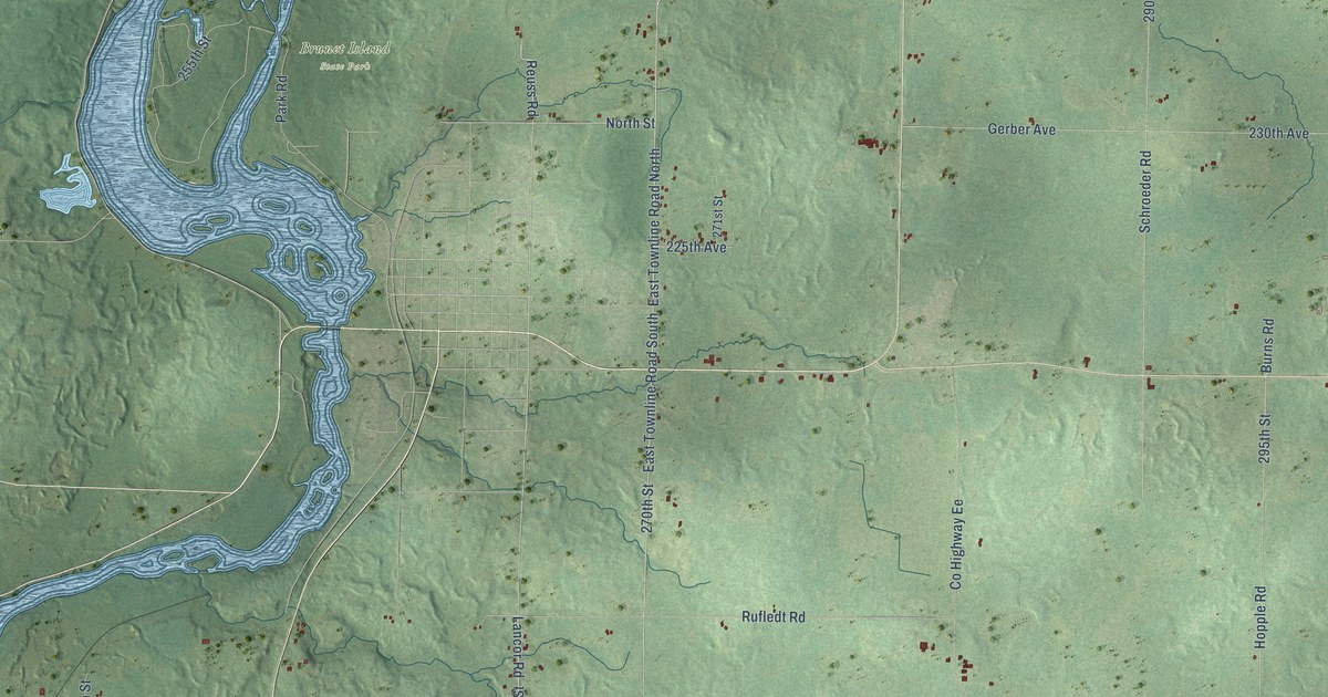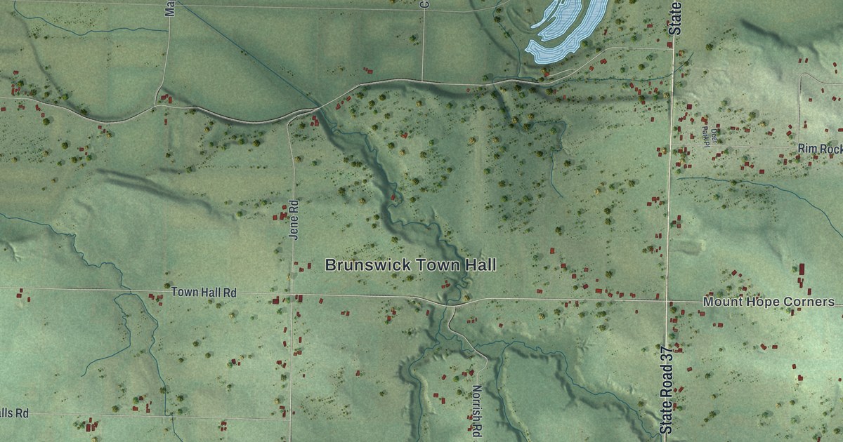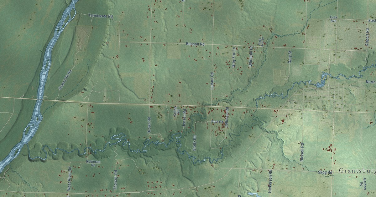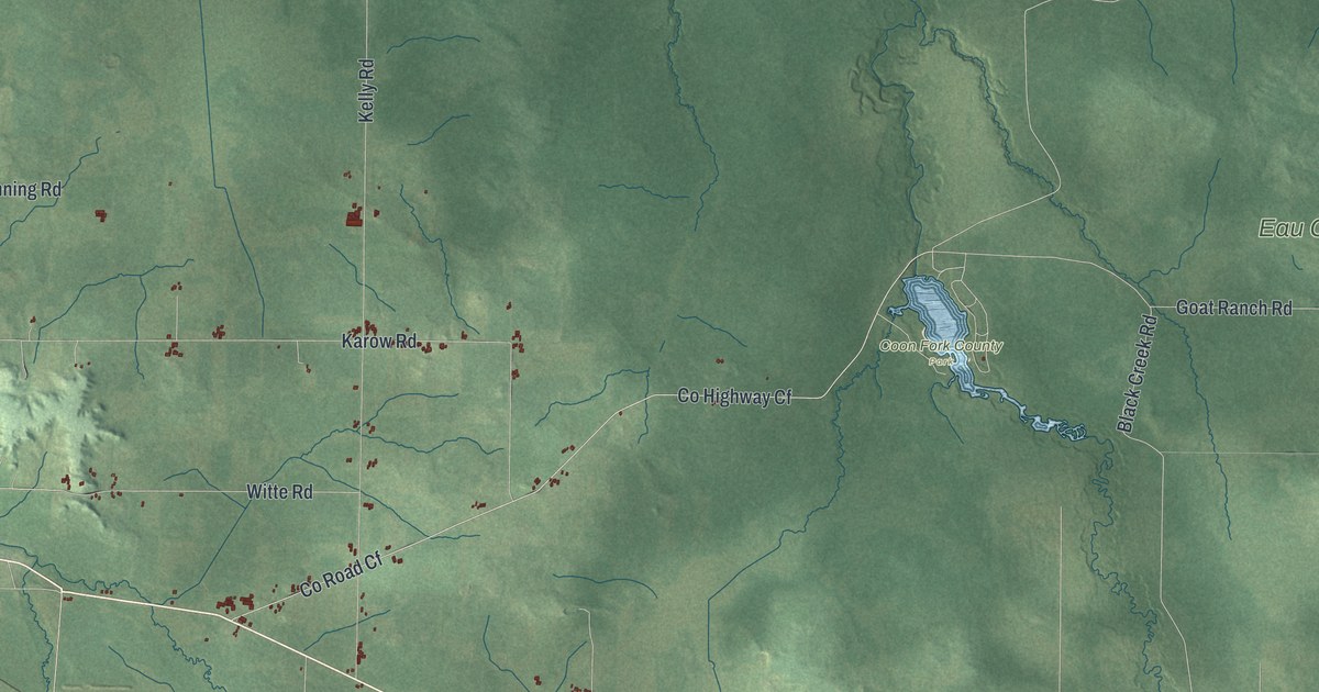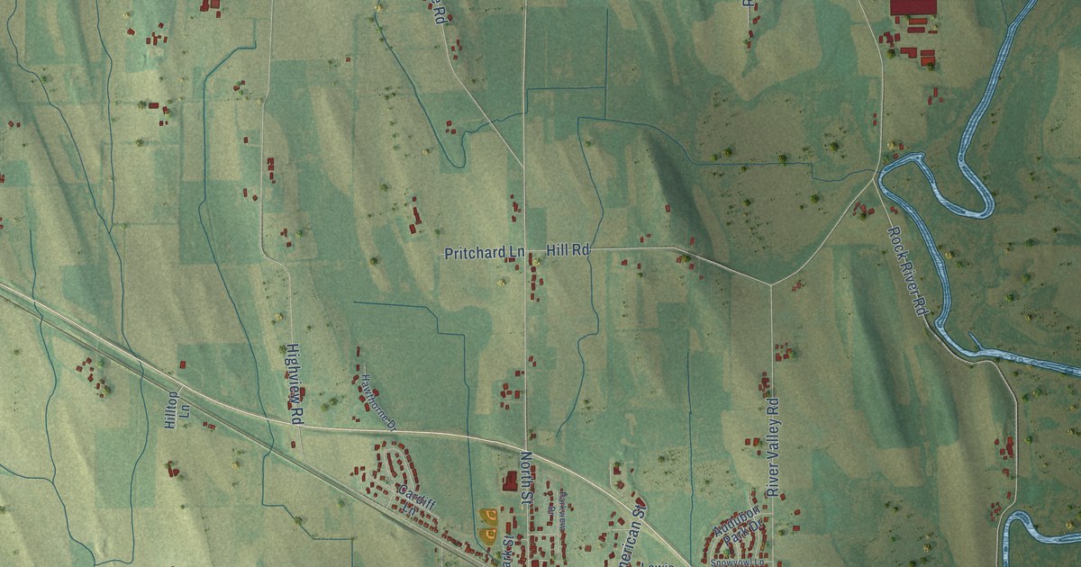
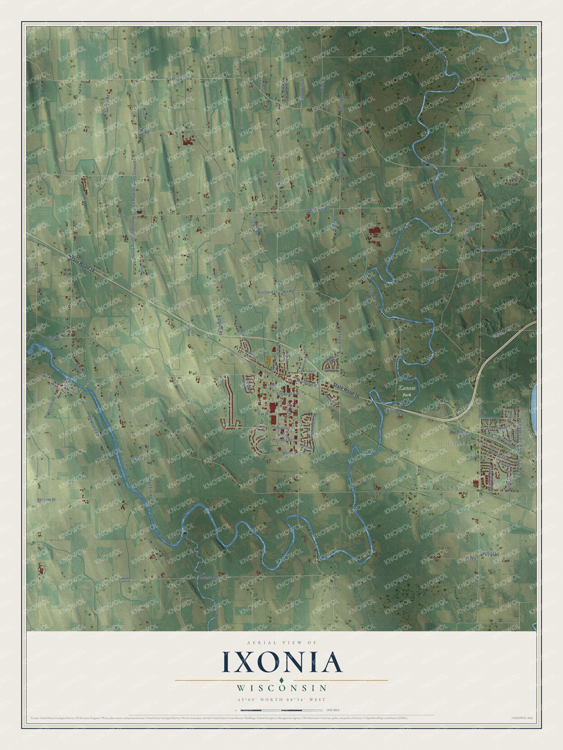
This beautifully detailed map of Ixonia, Wisconsin was created in 2026 using aerial imagery combined with modern topographical, census, street and landmark data. It's a modern aerial view of Ixonia in Jefferson County, Wisconsin, that combines modern data with a vintage aesthetic. The roads feature printed names, and if you look closely you can find your exact house accurately shown in its correct location.
Explore an aerial view of Ixonia, Wisconsin
On this map you'll find Lake Lac La Belle, Pipersville, Kanow Park, State Road 16, Ski Slide Road, Oosty Avenue, Co Road Cw, Northside Drive, Division Street, Co Highway Cw, North Road, Evergreen Road, and more. Each red shape is a building, so zoom in on the preview and look for yours.
Ixonia has a story worth telling. The Town of Ixonia puts it this way: "Welcome to the Town of Ixonia, located in Southeast Wisconsin in the County of Jefferson. The township was officially organized January 21, 1846, and remains the only town bearing this name in the United States."
Ixonia is a town in Jefferson County. The Census Bureau counted 5,120 people here in 2020.
Take a closer look at the Ixonia map
Names on this map
These names are printed on this map.
Places: Lake Lac La Belle, Pipersville and Kanow Park.
Streets and roads: State Road 16, Ski Slide Road, Oosty Avenue, County Road Cw, Northside Drive, Division Street, County Highway Cw, North Road, Evergreen Road, Rockvale Road, Gopher Hill Road, Hustisford Road.
More street names, A to Z
Aliceton Drive, American Street, Audubon Park Drive, Bartlain Drive, Belleview Avenue, Birch Road, Branch Road, Cardiff Lane, Cedar Drive, Circle Drive, Cottage Avenue, County Highway Shopping Center, County Road East, County Road Shopping Center, Dead End Road, Dewey Road, Ehrke Lane, Elmwood Avenue, Forest Drive, Fox Road, Gary Lane, Genz Road, Green Tree Lane, Green Valley Road, Hawthorne Drive, Hazelwood Road, Highview Road, Hillendale Drive, Hill Road, Hilltop Lane, Hunter Lane, Industrial Drive, Lac la Belle Drive, Lac Labelle Road, Lakeview Road, Lang Road, Lasalle Circle, Leiger Lane, Lewis Lane, Linden Road, Madison Avenue, Maple Ridge Road, Maple Street, Marietta Avenue, Marsh Road, McMahon Road, North River Road, North Side Drive, North Street, Oak Drive, Old Hi-Way Lane, Overland Drive, Park Street, Parkview Drive, Per Lane, Pipersville Road, Preserve Park Drive, Pritchard Farm Road, Pritchard Lane, Ridge Lane, River Road, River Street, River Valley Road, Rock River Road, Rolling Lane, Shady Lane, Snowyowl Lane, Sunset Lane, Sun Val Road, Triangle Road, Turke Lane, Vista Drive, Waterlilly Drive, Wiley Road, Willow View Drive, Winter Lane, Woodland Court, Woody Lane.
Created by KNOWOL in 2026. The buildings are small red shapes, the roads carry their printed names, and shaded relief shows the shape of the land. The title panel reads "AERIAL VIEW OF IXONIA, WISCONSIN" with 43°09' NORTH 88°36' WEST.
It looks right in a kitchen, an office or a den, and it's a gift for anyone who grew up in Ixonia or moved away. Open the preview and find your street. See sizes and frames for the Ixonia map.