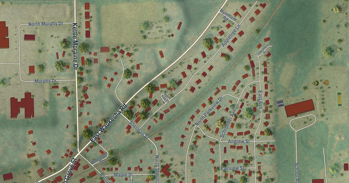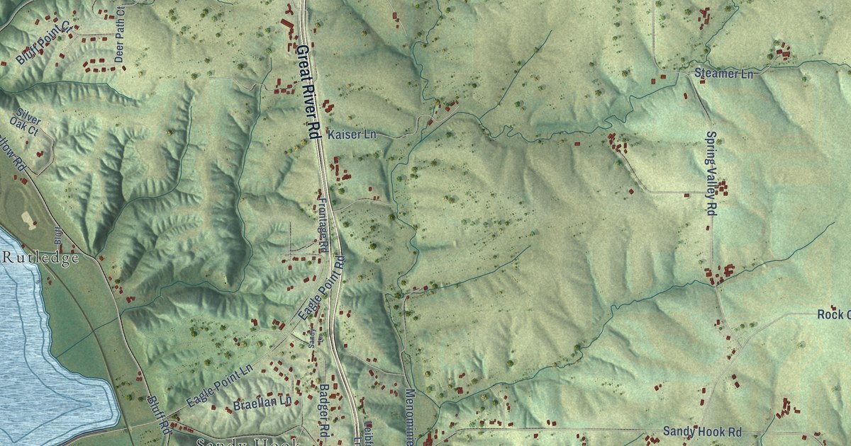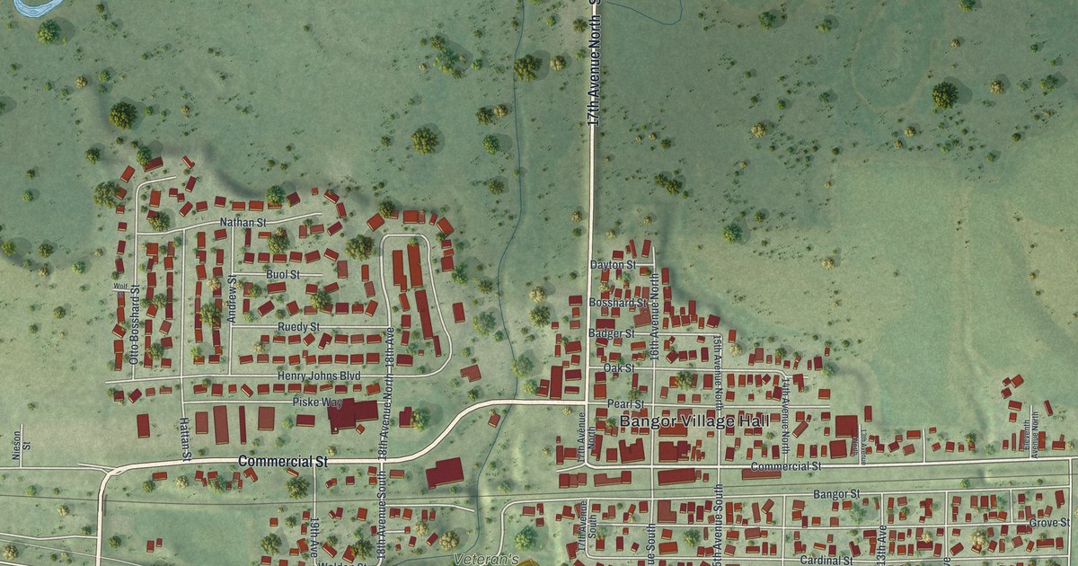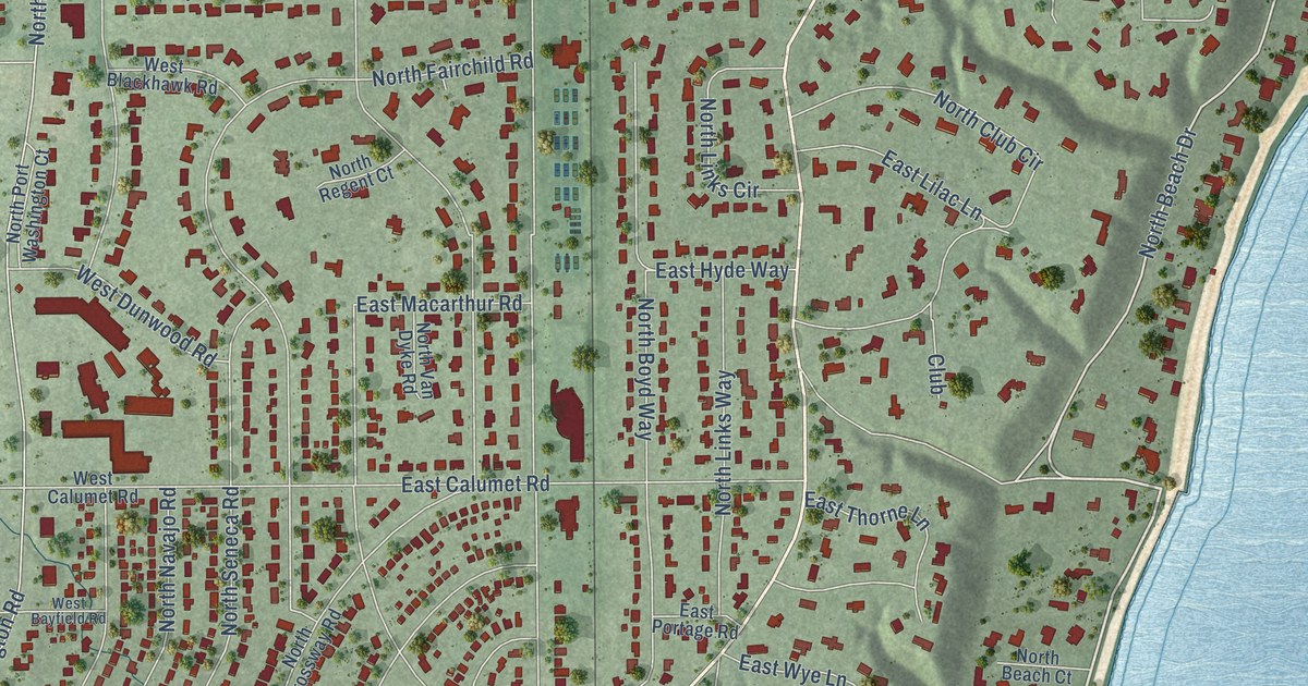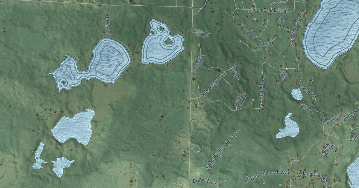
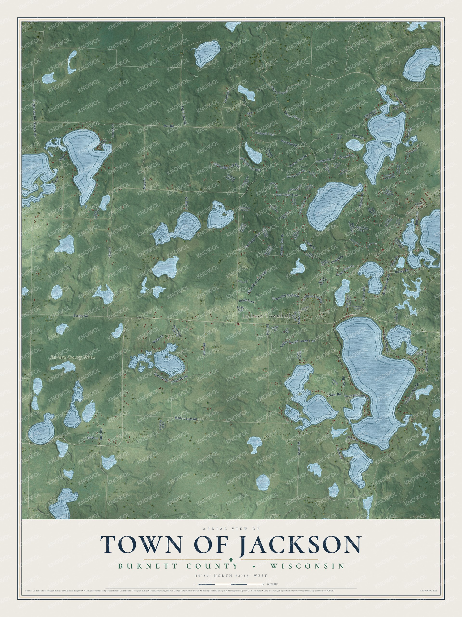
This beautifully detailed map of Jackson, Wisconsin was created in 2026 using aerial imagery combined with modern topographical, census, street and landmark data. It's a modern aerial view of Jackson in Burnett County, Wisconsin, that combines modern data with a vintage aesthetic. The roads feature printed names, and if you look closely you can find your exact house accurately shown in its correct location.
Explore an aerial view of Jackson, Wisconsin
On this map you'll find Jackson Townhall, Burnett County Forest, Loon Creek Trail, Mail Road, Overland Trailway, Mallard Lake Road, Kilkare Road, Voyager Road, Leef Road, Deerpath Road, Alden Road, Sweger Road, and more. Each red shape is a building, so zoom in on the preview and look for yours.
Jackson is a town in Burnett County. The Census Bureau counted 935 people here in 2020. The map prints the town name in its title panel, with the coordinates below it.
Take a closer look at the Jackson map
Names on this map
These names are printed on this map.
Places: Jackson Townhall and Burnett County Forest.
Streets and roads: Loon Creek Trail, Mail Road, Overland Trailway, Mallard Lake Road, Kilkare Road, Voyager Road, Leef Road, Deerpath Road, Alden Road, Sweger Road, 3 Mile Road, Shore Road.
More street names, A to Z
Al-Mar Lane, Aspen Hill Trail Way, Bent Tree Court, Bent Tree Pass, Bent Tree Way, Black Duck Lane, Bobcat Drive, Bonner Lake Road, Brad Road, Bridge Road, Bridle Trail, Bridle Trwy, Briggs Lake Road, Bushey Road, Camp Daniel Trail, Chalet Road, Clear Sky Road, Conroy Fire Lane, Corbin Road, Culbertson Springs, Deer Circle, Deer Lodge Drive, Deerpath Trail, Deerpath Trail Way, Eagle Circle, Eagle Drive, Eagle Lake Road, Eagles Nest Road, Ford Road, Fox Ridge Trail Way, Fox Ridge Trce, Fox Road, Gobel Drive, Great Bear Psge, Great Bear Terrace, Great Bear Trail Way, Greeder Road, Green Trail, Green Trail Road, Greer Road, Half Moon Circle, Ham Lake Road, Harle Road, Hawks Nest Drive, Honey Tree Drive, Honey Tree Road, Honey Tree Terrace, Ironwood Road, Jamie Lane, Kilkare Court, Kovarik Road, Lange Road, Loon Lake Road, Meyers Road, Mitchell Road, Morning Star Drive, Morning Star Lane, Moro Road, Moser Drive, North Point Lake Road, Overland Circle, Pope Road, Pratt Road, Rainbow Circle, Rainbow Court, Red Wing Place, Red Wing Terrace, Richey Road, Rigby Road, Sand Lake Road, Seiben Road, Setting Sun Terrace, Setting Sun Trail Way, Sewall Road, Silver Birch Trail Way, Skylight Road, South Bass Lake Road, South Peninsula Road, South Shore Road, Southshore Road, Spotted Fawn Drive, Spotted Fawn Road, Spotted Fawn Trail, Tall Moon Circle, Tall Moon Court, Tall Moon Drive, Tall Moon Trail, Thompson Bay Road, Thompson Road, Thorton Fire Lane, Thunderbird Way, Treasure Island Drive, Treasure Island Road, Treasure Island Trail Way, Trout Springs Way, Walt's Way, West Bass Lake Road, Whispering Pines Road, Wilderness Circle, Wilderness Trail, Wilderness Way, Wildhagen Road, Wintergreen Lane, Winter Hill Pass, Winter Hill Terrace.
Created by KNOWOL in 2026. The buildings are small red shapes, the roads carry their printed names, and shaded relief shows the shape of the land. The title panel reads "AERIAL VIEW OF TOWN OF JACKSON, BURNETT COUNTY • WISCONSIN" with 45°56' NORTH 92°13' WEST.
Hang it in the hallway, the office or the cabin, or give it to someone who left Jackson and still calls it home. Open the preview and look for a street you know. See sizes and frames for the Town of Jackson, Burnett County map.