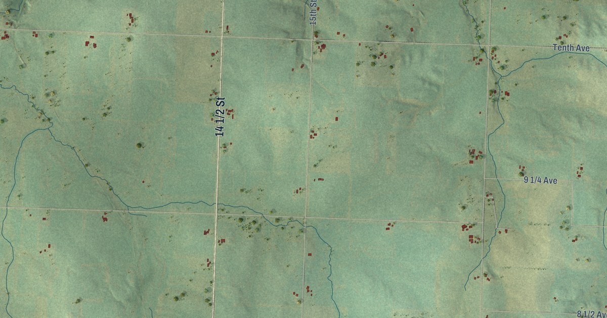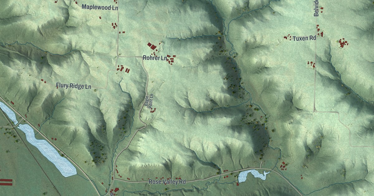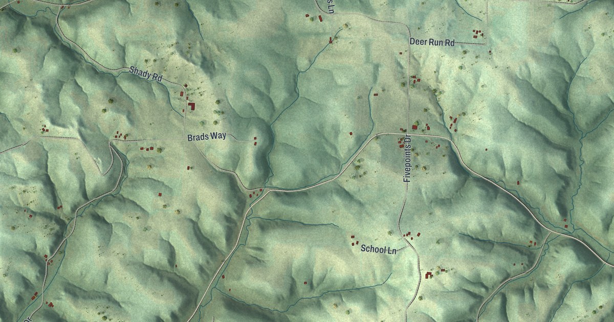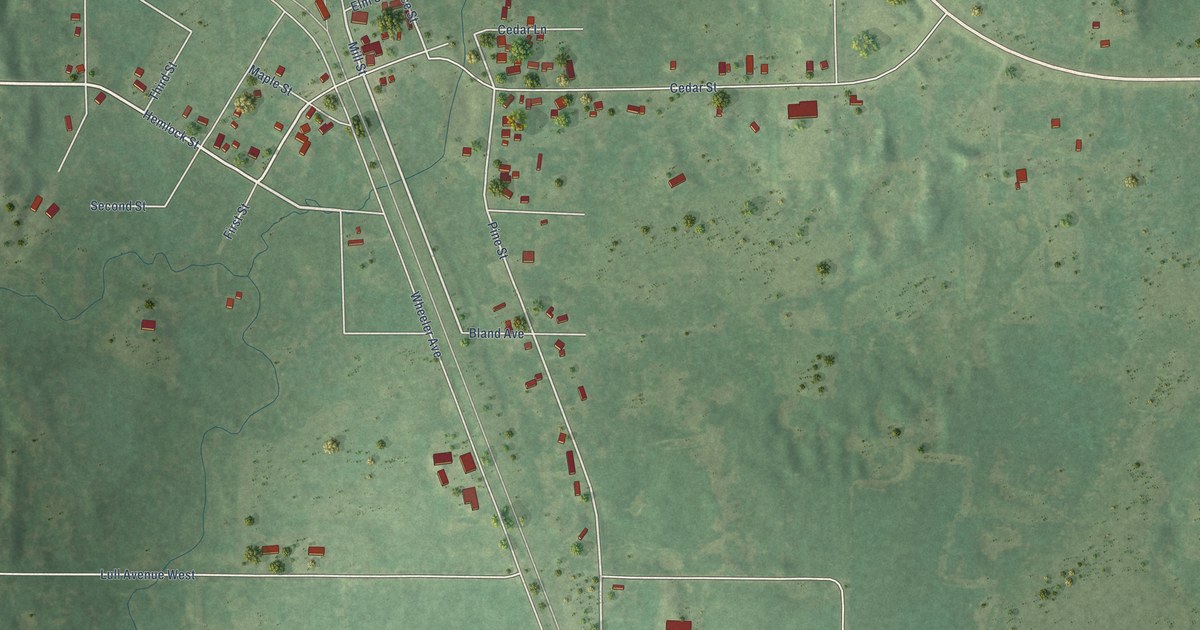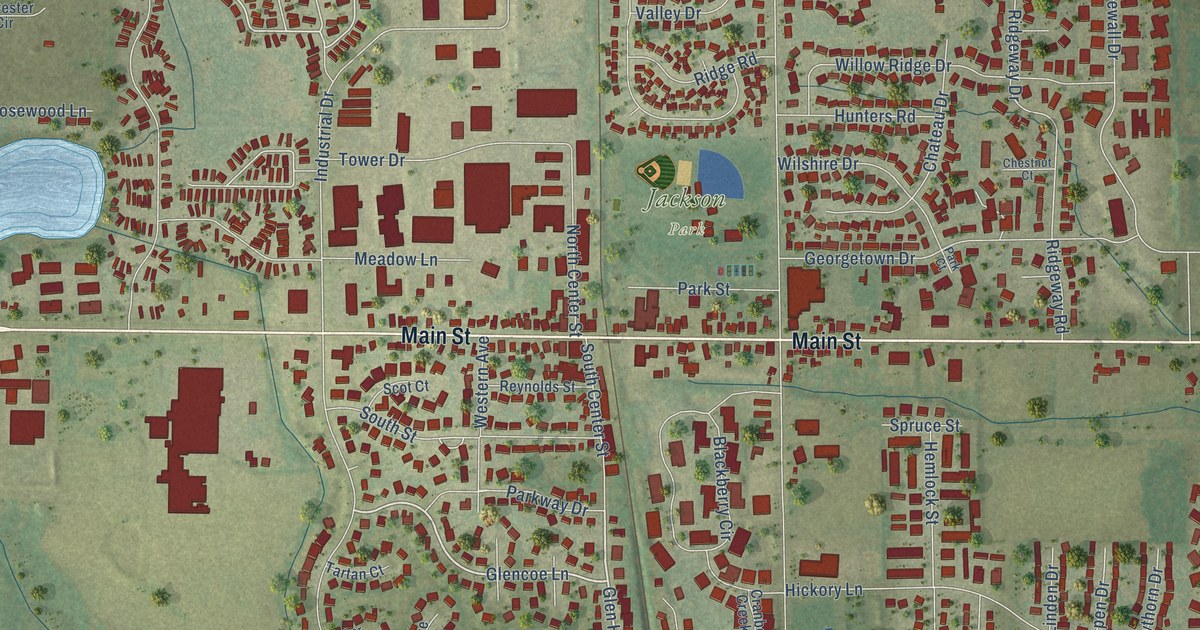
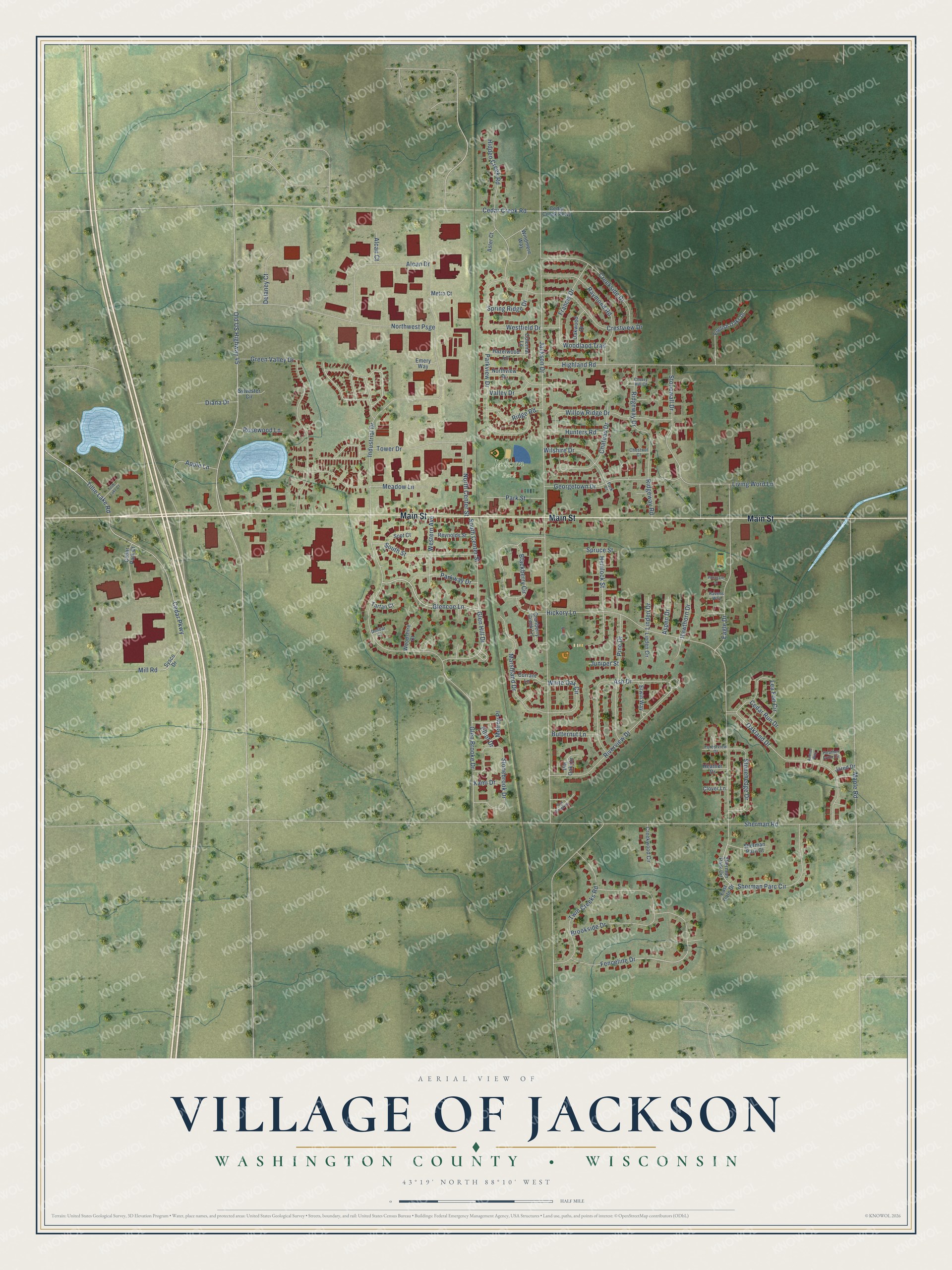
This beautifully detailed map of Jackson, Wisconsin was created in 2026 using aerial imagery combined with modern topographical, census, street and landmark data. It's a modern aerial view of Jackson in Washington County, Wisconsin, that combines modern data with a vintage aesthetic. The roads feature printed names, and if you look closely you can find your exact house accurately shown in its correct location.
Explore an aerial view of Jackson, Wisconsin
On this map you'll find Jackson Park, Main Street, Glencoe Lane, Glen Hill Drive, Green Valley Drive, Fenceline Drive, Cedar Parkway, Tillie Lake Road, South Street, White Oak Circle, Jackson Drive, Old US Highway 45, and more. Each red shape is a building, so zoom in on the preview and look for yours.
Jackson has a story worth telling. The Internet Archive puts it this way: "McKensie; Constable on south side of Cedar Creek, Thomas Fagan; School Commis-
sioners, William Vogenitz, Thomas Brophy."
Jackson is a village in Washington County. The Census Bureau counted 7,185 people here in 2020.
Take a closer look at the Jackson map
Names on this map
These names are printed on this map.
Places: Jackson Park.
Streets and roads: Main Street, Glencoe Lane, Glen Hill Drive, Green Valley Drive, Fenceline Drive, Cedar Parkway, Tillie Lake Road, South Street, White Oak Circle, Jackson Drive, Old US Highway 45, Sherman Road.
More street names, A to Z
Alcan Court, Alcan Drive, Andrea Way, Apple Lane, Ash Drive, Aspen Drive, Aster Court, Blackberry Circle, Brookside Drive, Butternut Lane, Cedar Creek Parkway, Cedar Creek Road, Cedar Park Court, Cedar Run Drive, Chateau Drive, Cherry Hill Court, Chestnut Court, Clover Lane, Colonial Lane, Cranberry Creek Lane, Creekside Drive, Creekwood Circle, Crestview Drive, Currant Lane, Delaney Court, Diana Drive, Dunbar Court, Eagle Drive, East Gate Drive, Elliot Drive, Emery Way, English Oaks Drive, Erwin Way, Forestview Drive, Fow Creek Drive, Francis Drive, Georgetown Drive, Glen Brooke Drive, Hawthorn Drive, Hazelwood Lane, Heather Drive, Heather Lynn Circle, Hemlock Street, Hickory Lane, Hidden Creek Road, Highland Road, Hunters Road, Industrial Drive, Jared Drive, Juniper Street, Kami Drive, Lea Fon Circle, Linden Circle, Linden Drive, Living Word Lane, Maple Road, Marshland Drive, Meadow Lane, Melroy Place, Metro Court, Mill Road, North Center Street, Northview Drive, Northwest Psge, Oakland Drive, Oakwood Drive, Park Court, Park Street, Parkview Drive, Parkway Drive, Pheasant Lane, Pine Drive, Pin Oak Circle, Ravens Way, Raymond Road, Reynolds Street, Ridge Road, Ridgeway Drive, Ridgeway Road, Riverview Drive, Rosewood Lane, Scot Court, Sherman Parc Circle, Sherman Parc Court, Sherman Park Circle, South Center Street, Spring Ridge Drive, Spruce Street, Stonebrook Drive, Stonehedge Drive, Stonewall Drive, Sylvester Circle, Sysco Drive, Tartan Court, Tillie Lake Court, Tower Drive, Twin Creeks Road, Valley Drive, Western Avenue, Westfield Drive, Willow Ridge Drive, Wilshire Drive, Windmere Way, Woodland Trail, Woodshire Court.
Created by KNOWOL in 2026. The buildings are small red shapes, the roads carry their printed names, and shaded relief shows the shape of the land. The title panel reads "AERIAL VIEW OF VILLAGE OF JACKSON, WASHINGTON COUNTY • WISCONSIN" with 43°19' NORTH 88°10' WEST.
It looks right in a kitchen, an office or a den, and it's a gift for anyone who grew up in Jackson or moved away. Open the preview and find your street. See sizes and frames for the Jackson map.