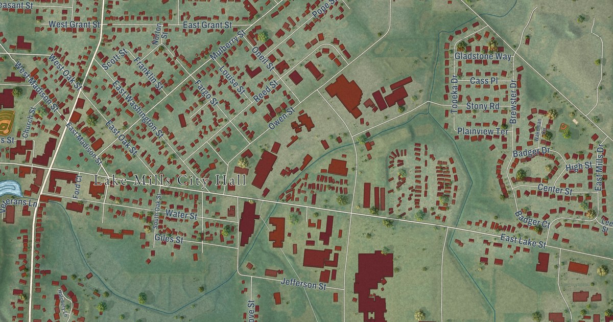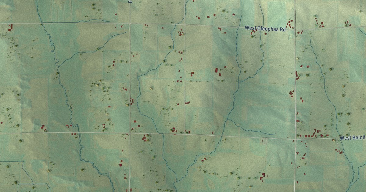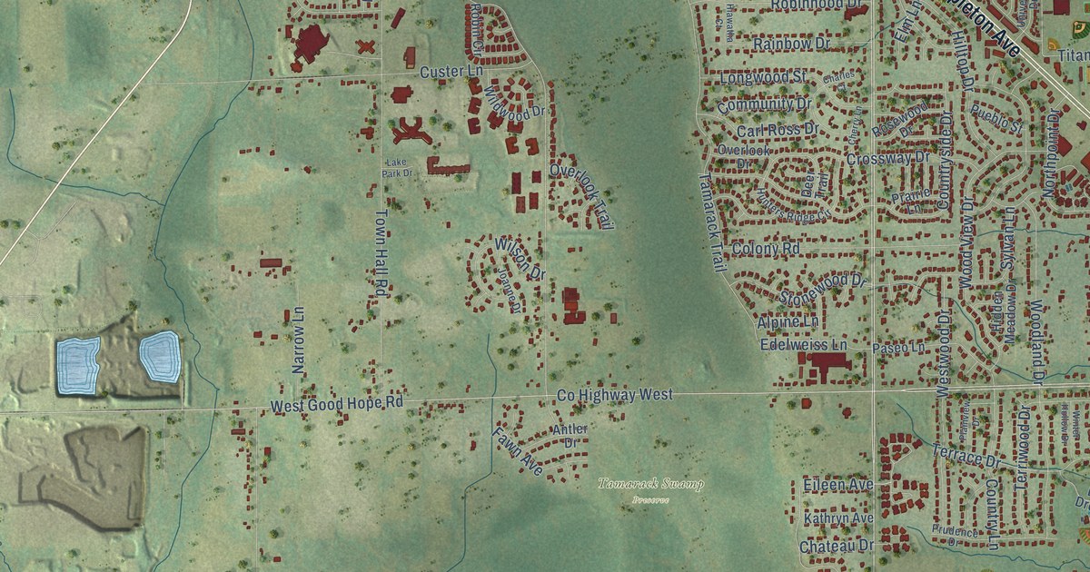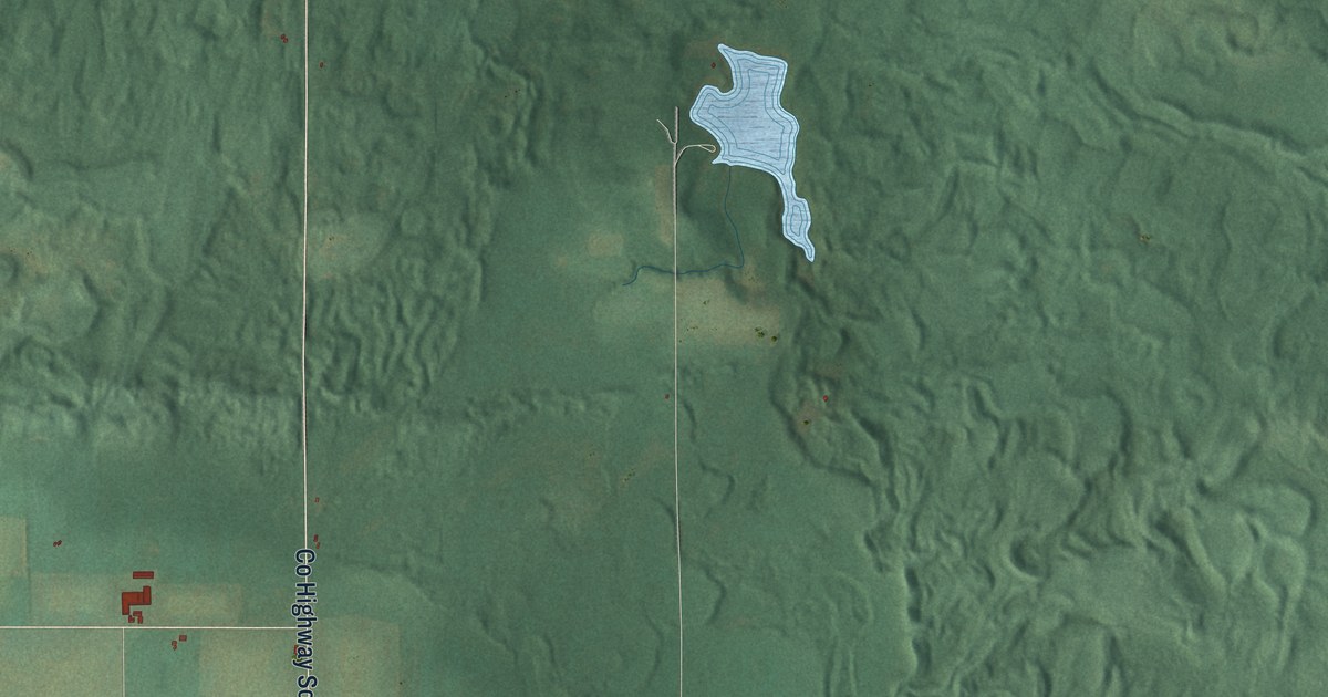
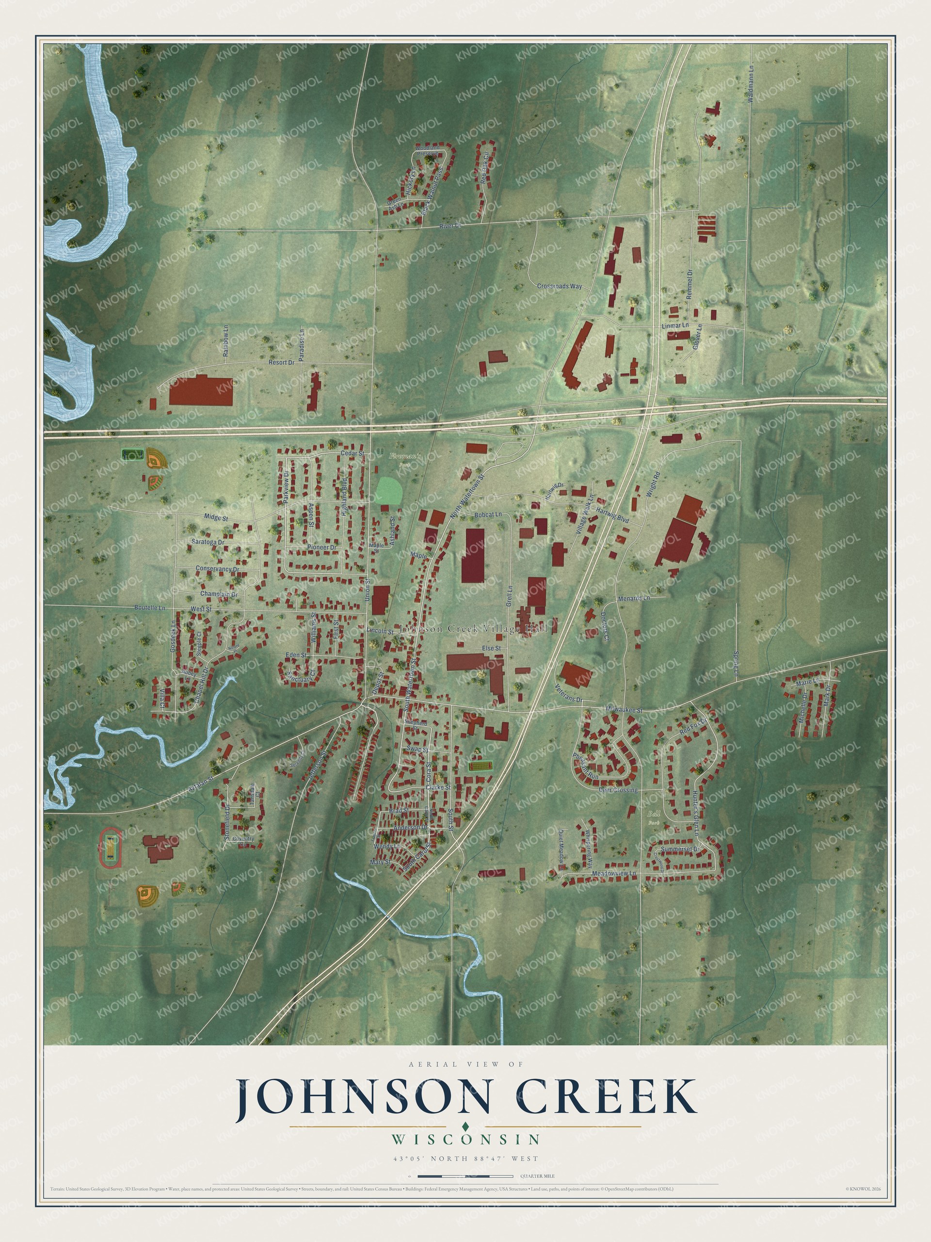
This beautifully detailed map of Johnson Creek, Wisconsin was created in 2026 using aerial imagery combined with modern topographical, census, street and landmark data. It's a modern aerial view of Johnson Creek in Jefferson County, Wisconsin, that combines modern data with a vintage aesthetic. The roads feature printed names, and if you look closely you can find your exact house accurately shown in its correct location.
Explore an aerial view of Johnson Creek, Wisconsin
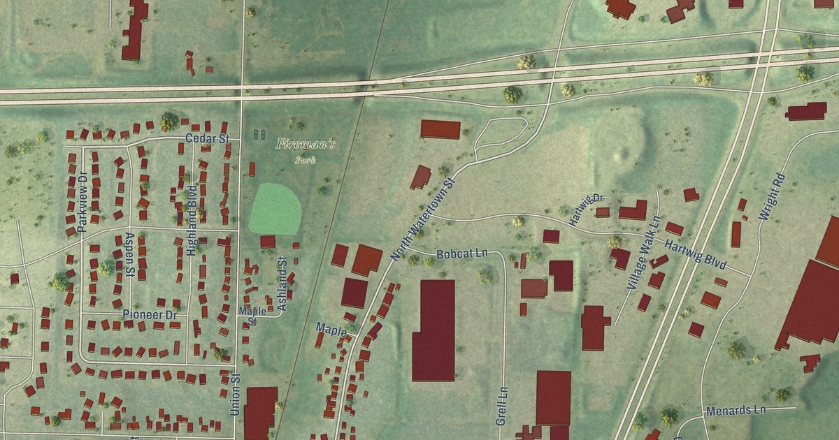
On this map you'll find Johnson Creek Village Hall, Fireman's Park, Bell Park, Aztalan Street, Parkview Drive, South Carol Street, North Watertown Street, South Watertown Street, Cora Street, Veterans Drive, Hunter's Glen Lane, Wright Road, and more. Each red shape is a building, so zoom in on the preview and look for yours.
Johnson Creek is a village in Jefferson County. The Census Bureau counted 3,318 people here in 2020. The map prints the town name in its title panel, with the coordinates below it.
Take a closer look at the Johnson Creek map
Names on this map
These names are printed on this map.
Places: Johnson Creek Village Hall, Fireman's Park and Bell Park.
Streets and roads: Aztalan Street, Parkview Drive, South Carol Street, North Watertown Street, South Watertown Street, Cora Street, Veterans Drive, Hunter's Glen Lane, Wright Road, River Drive, Chapel Hill Drive, Milwaukee Street.
More street names, A to Z
Abbey Lane, Anderson Drive, Ashland Street, Aspen Street, Black Walnut Pass, Bobcat Lane, Boutelle Lane, Brad Street, Cedar Street, Champlain Drive, Clarke Street, Conservancy Drive, Coventry Circle, Crestwood Drive, Crossroads Way, Deer Crossing, Depot Street, Doctors Court, Eden Street, Else Street, First Street, Francis Street, Glover Lane, Gosdeck Lane, Green Ash Lane, Grell Lane, Hartwig Boulevard, Hartwig Drive, Hickory Lane, Highland Boulevard, Jefferson Street, Lincoln Street, Linmar Lane, Maple, Maple Street, Marie Lane, Mark Drive, Mary Street, Meadowview Lane, Menards Lane, Michelle Drive, Midge Street, Nature Place, North Carol Street, Paradise Lane, Pheasant Run, Pioneer Drive, Quiet Meadow Lane, Rainbow Lane, Red Fox Drive, Red Oak Circle, Remmel Drive, Resort Drive, Sanctuary Court, Saratoga Drive, Serenity Court, Shepherd Street, South Street, Spring Lane, Steeple Court, Stonefield Drive, Summerset Drive, Swap Street, Tansdale Court, Union Street, Villa Court, Village Walk Lane, Waldmann Lane, Wendy Lane, West Street, Whispering Way, Williams Street, Woodland Preserve.
Created by KNOWOL in 2026. The buildings are small red shapes, the roads carry their printed names, and shaded relief shows the shape of the land. The title panel reads "AERIAL VIEW OF JOHNSON CREEK, WISCONSIN" with 43°05' NORTH 88°47' WEST.
Hang it in the hallway, the office or the cabin, or give it to someone who left Johnson Creek and still calls it home. Open the preview and look for a street you know. See sizes and frames for the Johnson Creek map.