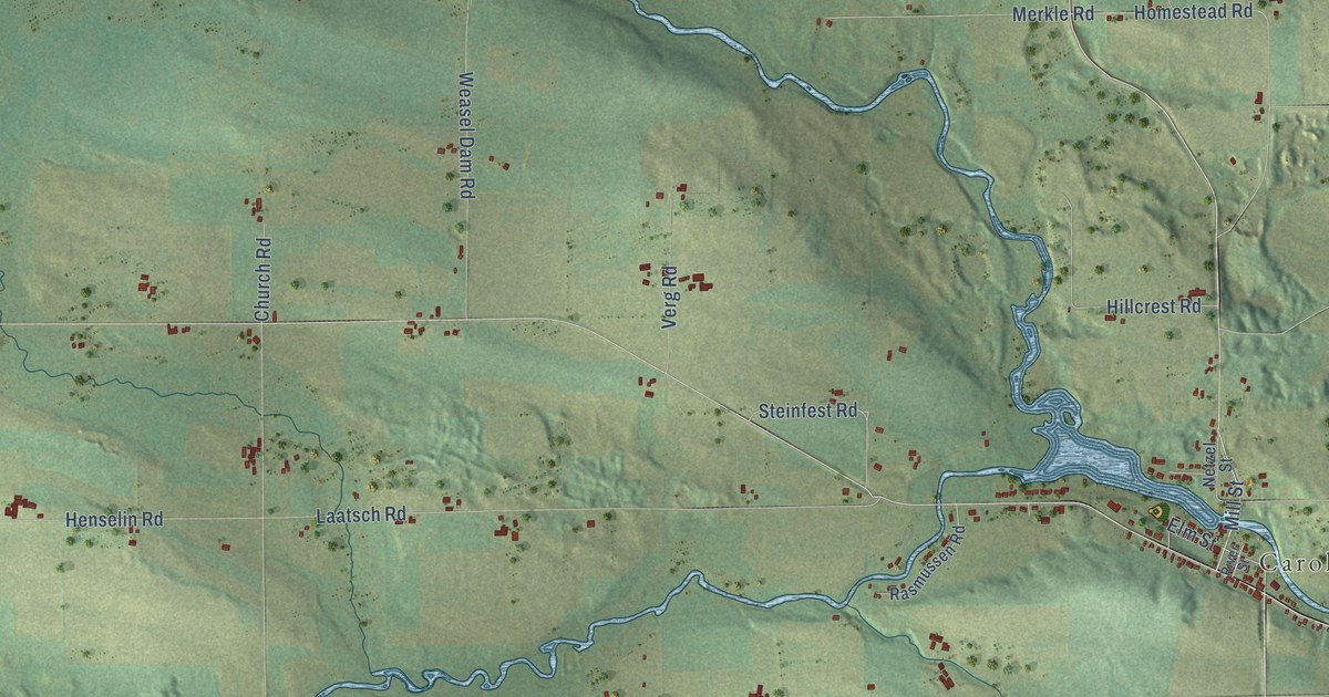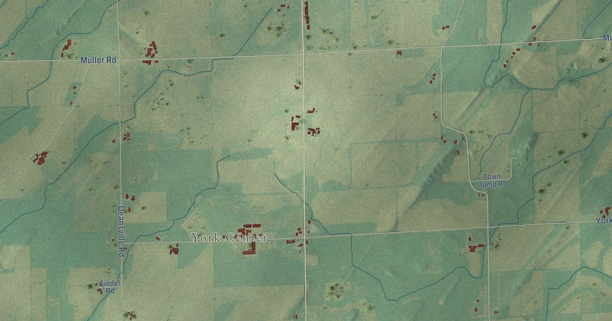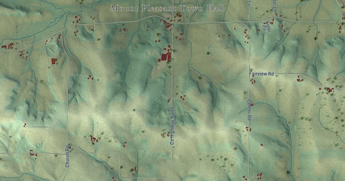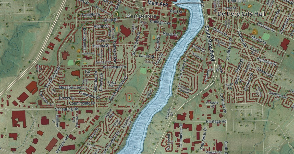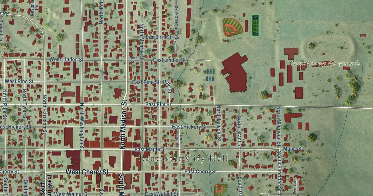
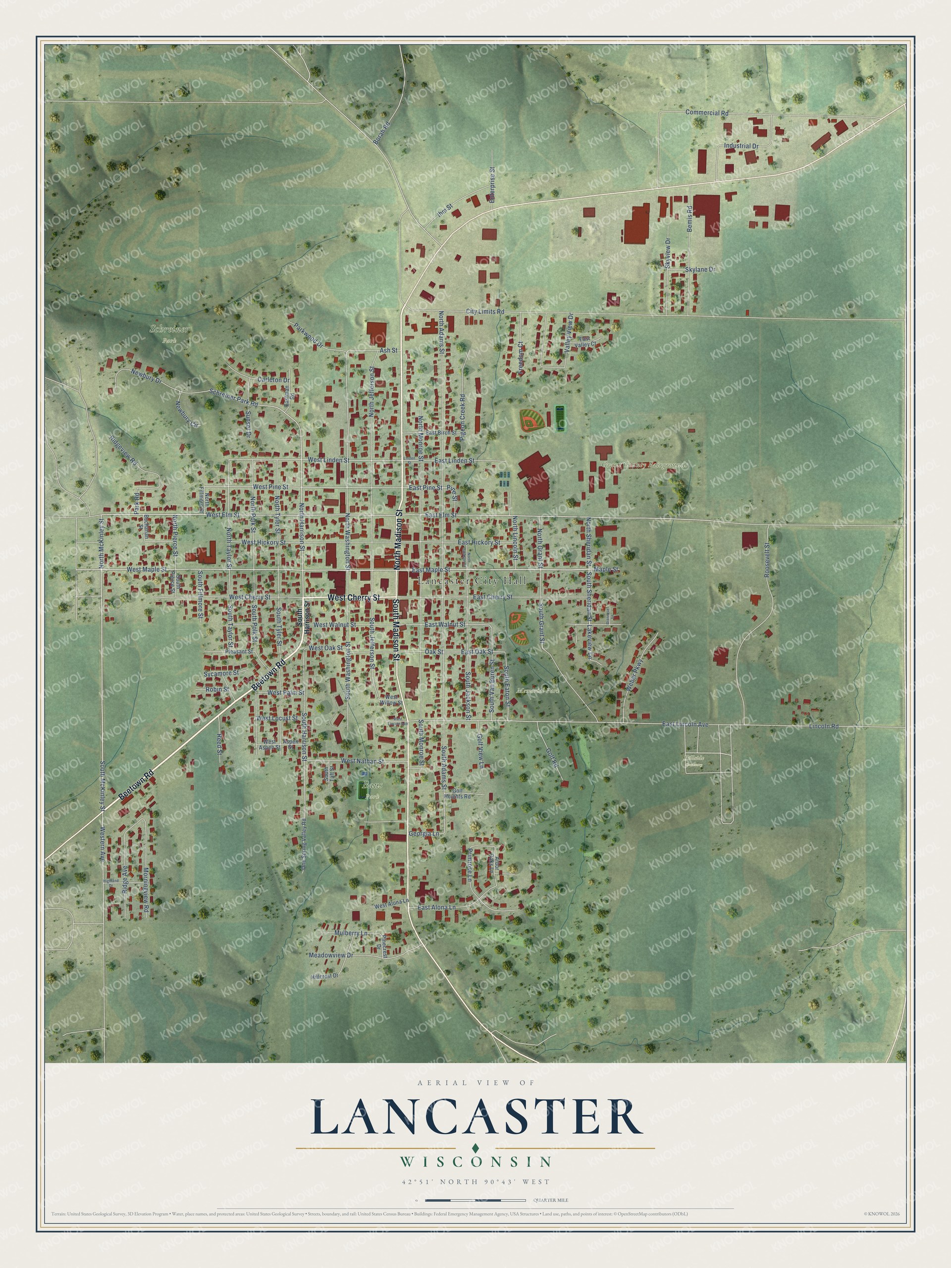
This beautifully detailed map of Lancaster, Wisconsin was created in 2026 using aerial imagery combined with modern topographical, census, street and landmark data. It's a modern aerial view of Lancaster in Grant County, Wisconsin, that combines modern data with a vintage aesthetic. The roads feature printed names, and if you look closely you can find your exact house accurately shown in its correct location.
Explore an aerial view of Lancaster, Wisconsin
On this map you'll find Lancaster City Hall, Grant County Fairgrounds, Memorial Park, Schreiner Park, Baus Park, Hillside Cemetery, Beetown Road, North Madison Street, West Cherry Street, South Madison Street, East Maple Street, South Sheridan Street, and more. Each red shape is a building, so zoom in on the preview and look for yours.
Every town has a first chapter, and Lancaster is no exception. The History of Grant County puts it this way: "The first school in Lancaster was started in 1841, the old cabin first occupied by G. M. Price as a store being used as the schoolhouse. The school was started by some of the early settlers, and was supported mainly by voluntary contributions."
Lancaster is a city in Grant County. The Census Bureau counted 3,907 people here in 2020.
Take a closer look at the Lancaster map
Names on this map
These names are printed on this map.
Places: Lancaster City Hall, Grant County Fairgrounds, Memorial Park, Schreiner Park, Baus Park and Hillside Cemetery.
Streets and roads: Beetown Road, North Madison Street, West Cherry Street, South Madison Street, East Maple Street, South Sheridan Street, South McKinley Street, South Harrison Street, West Maple Street, North McKinley Street, North Harrison Street, Western Avenue.
More street names, A to Z
Arbor Oaks Lane, Ash Street, Aspen Street, Bemis Road, Borah Road, Brenrose Lane, Buchanan Street, Carleton Drive, City Limits Road, Commercial Road, East Alona Lane, East Birch Street, East Cherry Street, East Elm Street, East Hickory Street, East Lincoln Avenue, East Linden Street, Eastman Road, East Oak Street, East Pine Street, East Valley Court, East Walnut Street, Enterprise Street, Freedom Court, Georgia Lane, Golf Heights Road, Golf Road, Golf View Lane, Highland Drive, Hillcrest Drive, Ihm Street, Industrial Drive, Lakeview Lane, Lincoln Road, Linden Street, Maple Street, Meadowview Drive, Morningview Road, Mulberry Lane, Newbury Circle, Newbury Drive, North Adams Street, North Fillmore Street, North Grant Street, North Jackson Street, North Jefferson Street, North Lincoln Street, North Monroe Street, North Pierce Street, North Polk Street, North Sheridan Street, North Taylor Street, North Tyler Street, North Washington Street, Oak Street, One Spring Valley Road, Park Road, Parkwood Drive, Pigeon Creek Road, Pinecrest Drive, Pine Street, Pleasant Street, Primrose Lane, Reed Street, Ridge Avenue, Ridgeview Road, Robin Street, Roosevelt Street, Schreiner Park Road, Skylane Drive, Skyview Drive, South Adams Street, South Eaton Street, South Fillmore Street, South Grant Street, South Jackson Street, South Jefferson Street, South Monroe Street, South Pierce Street, South Polk Street, South Taft Street, South Taylor Street, South Tyler Street, South Van Buren Street, South Washington Street, Sunset Drive, Sycamore Street, Valley View Drive, Weber Parkway, West Alona Lane, West Aspen Street, West Elm Street, West Hickory Street, West Lincoln Avenue, West Linden Street, West Locust Street, West Nathan Street, West Oak Street, West Palm Street, West Pine Street, West Walnut Street, West Willow Street.
Created by KNOWOL in 2026. The buildings are small red shapes, the roads carry their printed names, and shaded relief shows the shape of the land. The title panel reads "AERIAL VIEW OF LANCASTER, WISCONSIN" with 42°51' NORTH 90°43' WEST.
Hang it in the hallway, the office or the cabin, or give it to someone who left Lancaster and still calls it home. Open the preview and look for a street you know. See sizes and frames for the Lancaster map.