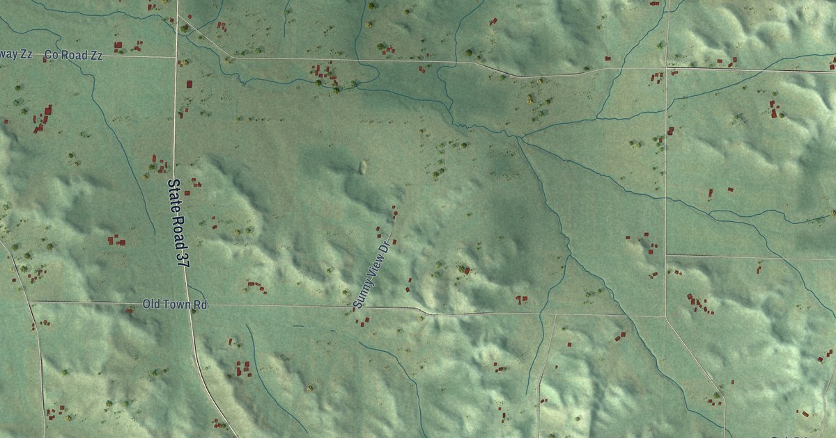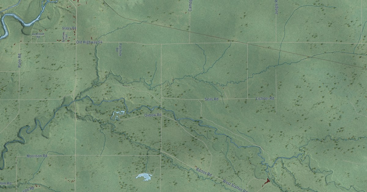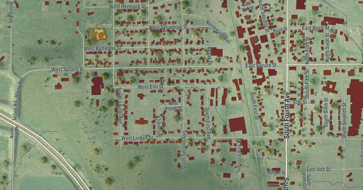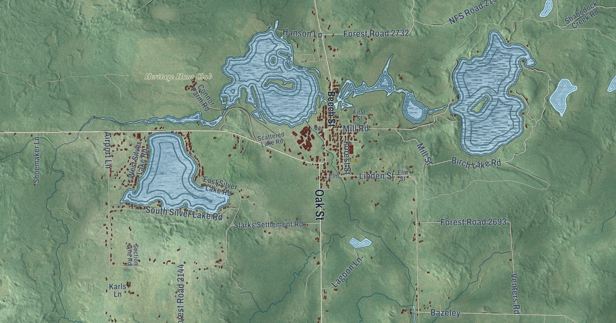
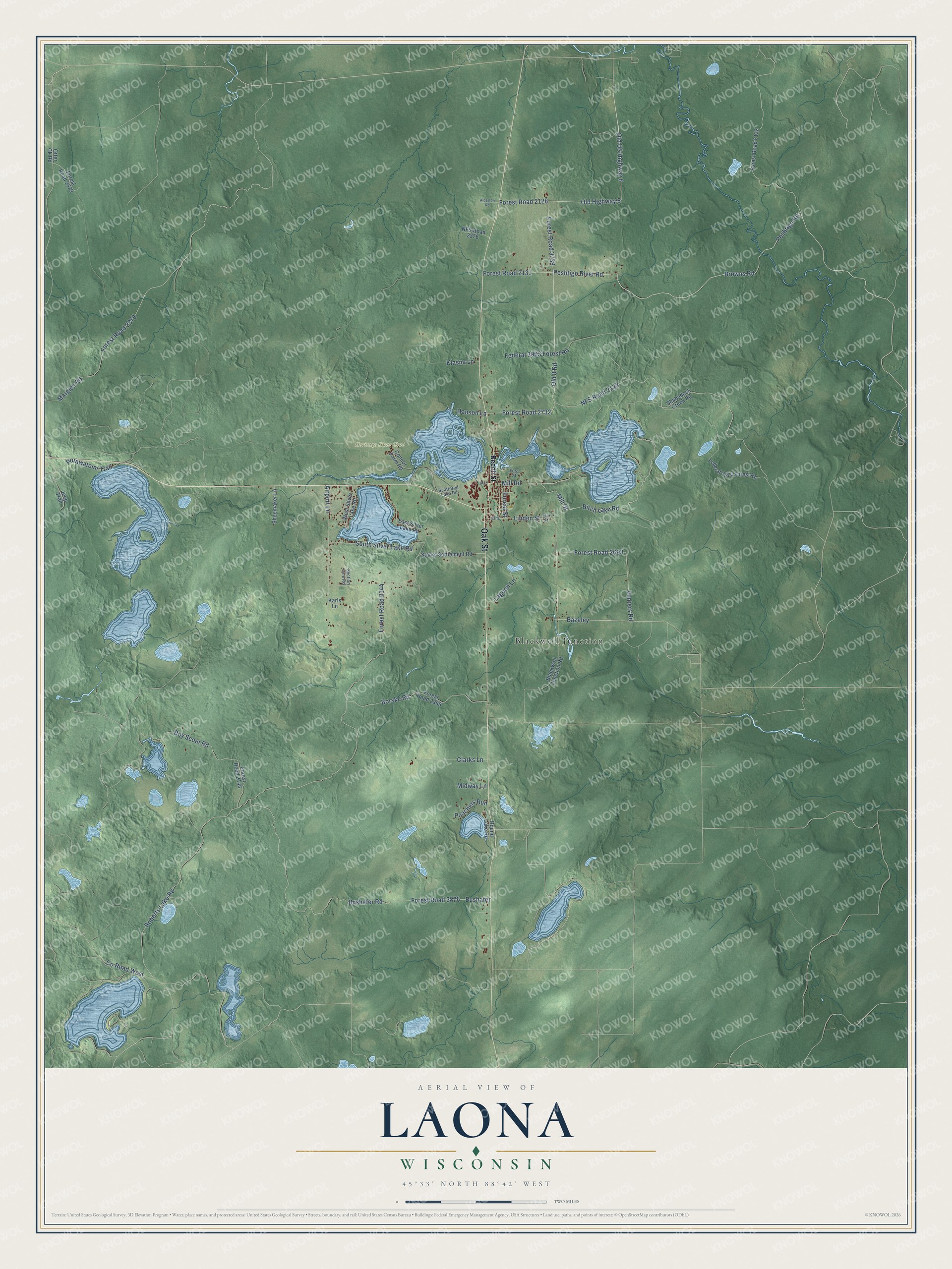
This beautifully detailed map of Laona, Wisconsin was created in 2026 using aerial imagery combined with modern topographical, census, street and landmark data. It's a modern aerial view of Laona in Forest County, Wisconsin, that combines modern data with a vintage aesthetic. The roads feature printed names, and if you look closely you can find your exact house accurately shown in its correct location.
Explore an aerial view of Laona, Wisconsin
On this map you'll find Heritage Hunt Club, Blackwell Junction, Oak Street, Peshtigo River Road, Old Highway 8, Peshtigo Road, Bazeley, Forest Road 2732, Old 8 Road, Browns Road, Mill Street, Forest Street, and more. Each red shape is a building, so zoom in on the preview and look for yours.
Every town has a first chapter, and Laona is no exception. The Historical Marker Database puts it this way: "In 1927 this tract of land was purchased for the Laona School Forest, the first in Wisconsin and the United States."
Laona is a town in Forest County. The Census Bureau counted 1,215 people here in 2020.
Take a closer look at the Laona map
Names on this map
These names are printed on this map.
Places: Heritage Hunt Club and Blackwell Junction.
Streets and roads: Oak Street, Peshtigo River Road, Old Highway 8, Peshtigo Road, Bazeley, Forest Road 2732, Old 8 Road, Browns Road, Mill Street, Forest Street, Linden Street, Birch Lake Road.
More street names, A to Z
Airport Lane, Alderton Road, Beech Street, Blackwell Junction Road, Borske Road, Boy Scout Road, Bushafer, Bushafer Road, Clarks Lane, Connor Farm Road, County Road West, East Silver Lake Road, Elm, Elm Street, Federal 2574 Forest Road, Federal 3903 Forest Road, First Street, Forest Road 2128, Forest Road 2131, Forest Road 2132, Forest Road 2144, Forest Road 2146, Forest Road 2366, Forest Road 2378, Forest Road 2379, Forest Road 2693, Forest Road 3739, Forest Road 3876, Hanson Lane, Jeep Trail, Karls Lane, Klasna Lane, Lagoon Lane, Margies Road, Midway Lane, Mill, Mill Road, NFS Road 2133, NFS Road 2376, Old US Highway 8, Otter Ck Road, Poachers Run, Potawatomi Trail, Roberts Lake Road, Round Lake Road, Scattered Lake Road, Section Line Road, Shabodock Creek Road, Shoemaker Lane, South Silver Lake Road, Starks Settlement Road, Venters Road, West Silver Lake Road.
Created by KNOWOL in 2026. The buildings are small red shapes, the roads carry their printed names, and shaded relief shows the shape of the land. The title panel reads "AERIAL VIEW OF LAONA, WISCONSIN" with 45°33' NORTH 88°42' WEST.
Hang it in the hallway, the office or the cabin, or give it to someone who left Laona and still calls it home. Open the preview and look for a street you know. See sizes and frames for the Laona map.