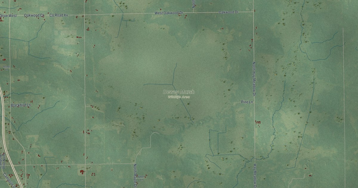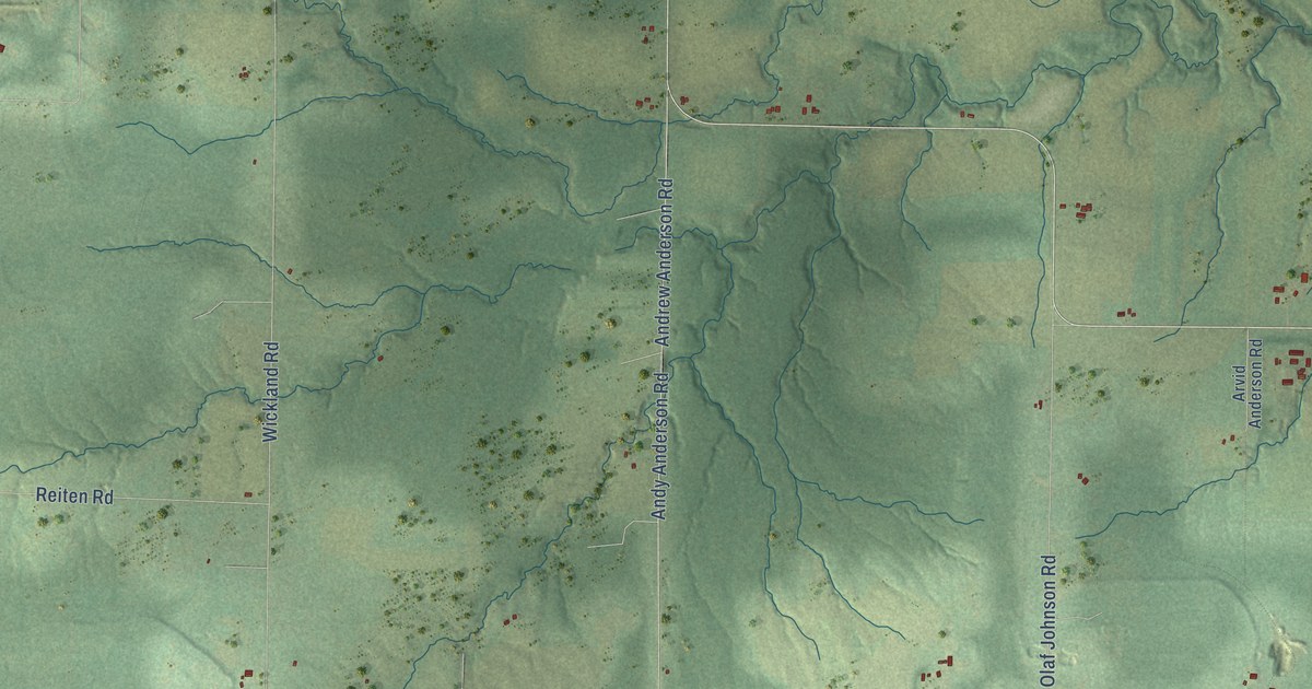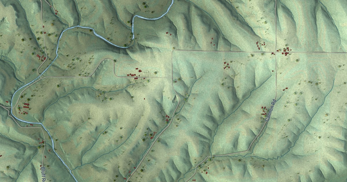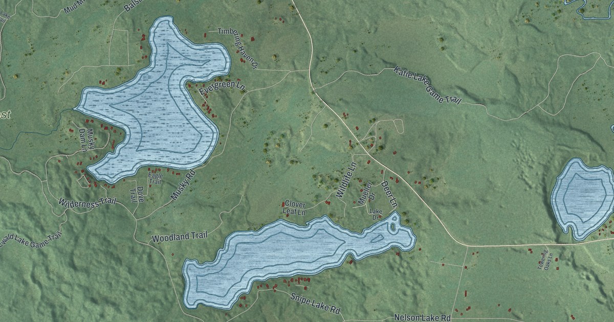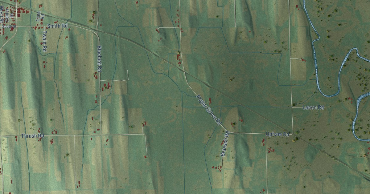
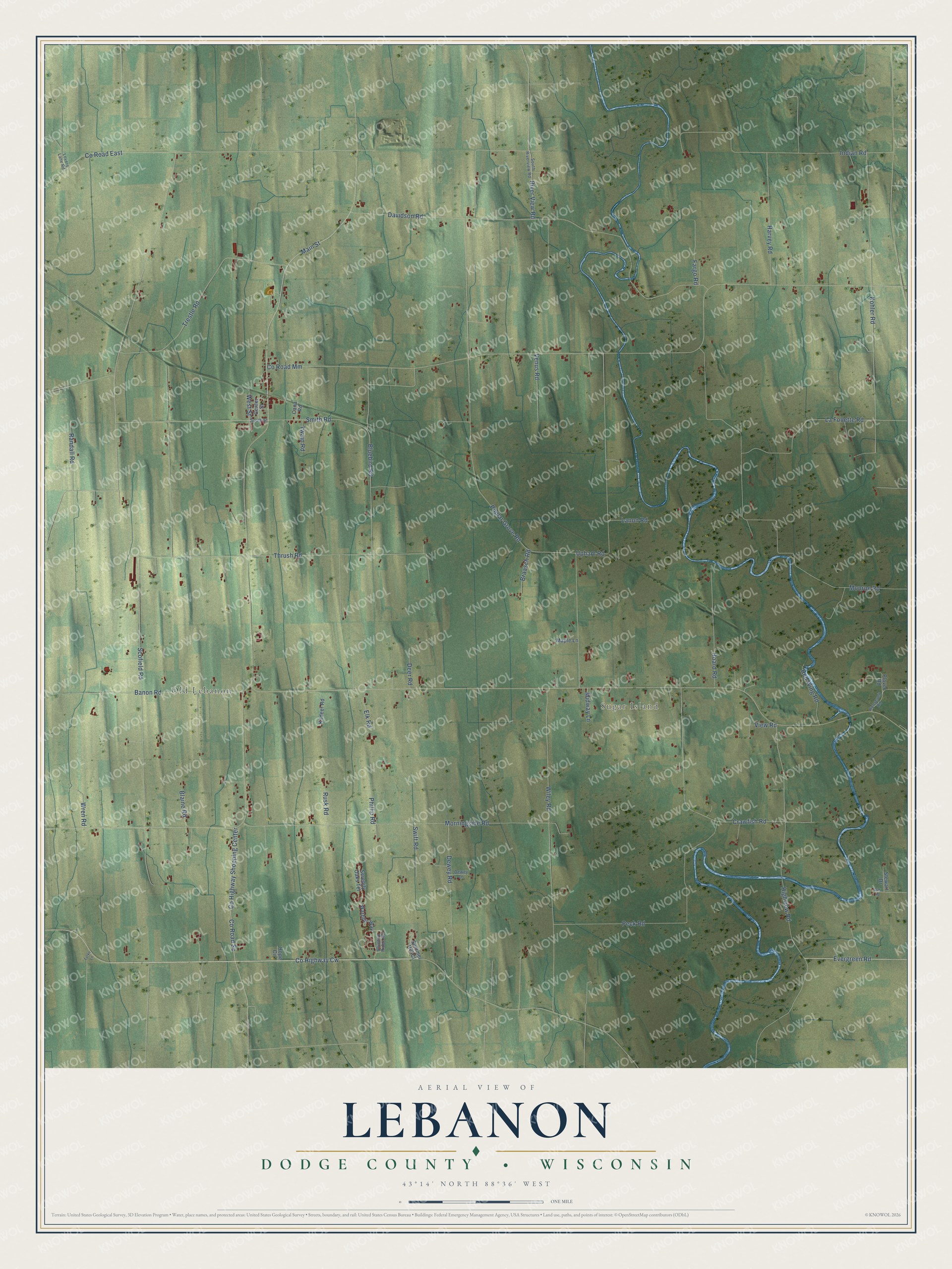
This beautifully detailed map of Lebanon, Wisconsin was created in 2026 using aerial imagery combined with modern topographical, census, street and landmark data. It's a modern aerial view of Lebanon in Dodge County, Wisconsin, that combines modern data with a vintage aesthetic. The roads feature printed names, and if you look closely you can find your exact house accurately shown in its correct location.
Explore an aerial view of Lebanon, Wisconsin
On this map you'll find Old Lebanon, Sugar Island, Co Highway Cw, Evergreen Road, Main Street, Co Road Mm, Poplar Grove Road, Scofield Road, Davidson Road, Monroe Road, Morningside Road, Kohler Road, and more. Each red shape is a building, so zoom in on the preview and look for yours.
Here is a piece of Lebanon history, in the words of the record. The Town of Lebanon puts it this way: "Henry Moldenhauer, the oldest son of the founder, took possession of the family homestead in 1857 and built the first store in Lebanon in 1878."
Lebanon is a town in Dodge County. The Census Bureau counted 1,587 people here in 2020.
Take a closer look at the Lebanon map
Names on this map
These names are printed on this map.
Places: Old Lebanon and Sugar Island.
Streets and roads: County Highway Cw, Evergreen Road, Main Street, County Road Mm, Poplar Grove Road, Scofield Road, Davidson Road, Monroe Road, Morningside Road, Kohler Road, Thrush Road, Wiley Road.
More street names, A to Z
Banon Road, Blaine Road, Bluebird Ridge Road, Bluebird Road, Braasch Road, Cana Road, Center Street, County Highway Shopping Center, County Road East, County Road Sc, Crawfish Road, Deer Road, Dewey Lane, Dewey Road, Elk Road, Fargo Road, Harvey Road, Highview Road, Hoard Road, Hope Circle, Indian Road, Kildeer Road, La Follette Road, Lanon Road, Lovers Lane Road, Maple Lane, Midway Lane, Oak Road, Peck Road, Phillip Road, Plover Road, Randall Road, Red Wing Road, River View Road, Roosevelt Road, Rusk Road, Serenity Oaks Terrace, Smith Road, South Riverview Road, South Street, Stewart Drive, Summer Hill Court, Swift Road, Trestle Road, Turke Lane, Twain Road, Upham Road, Venus Road, View Road, Warbler Way, West Street, Wren Road.
Created by KNOWOL in 2026. The buildings are small red shapes, the roads carry their printed names, and shaded relief shows the shape of the land. The title panel reads "AERIAL VIEW OF LEBANON, DODGE COUNTY • WISCONSIN" with 43°14' NORTH 88°36' WEST.
It suits a den, a classroom or a front hall, and it makes a gift for anyone with Lebanon roots. Open the preview and find the block you know. See sizes and frames for the Lebanon, Dodge County map.