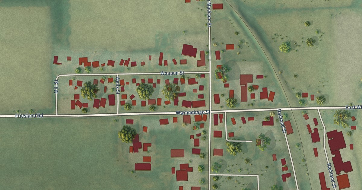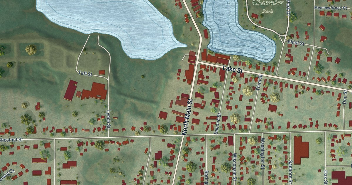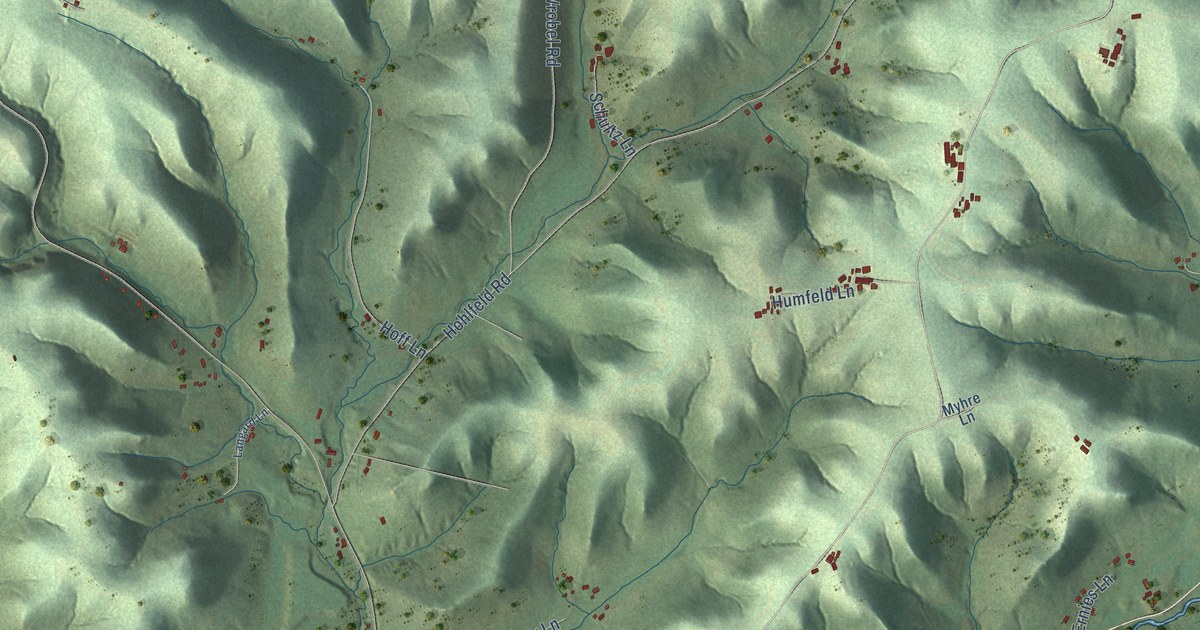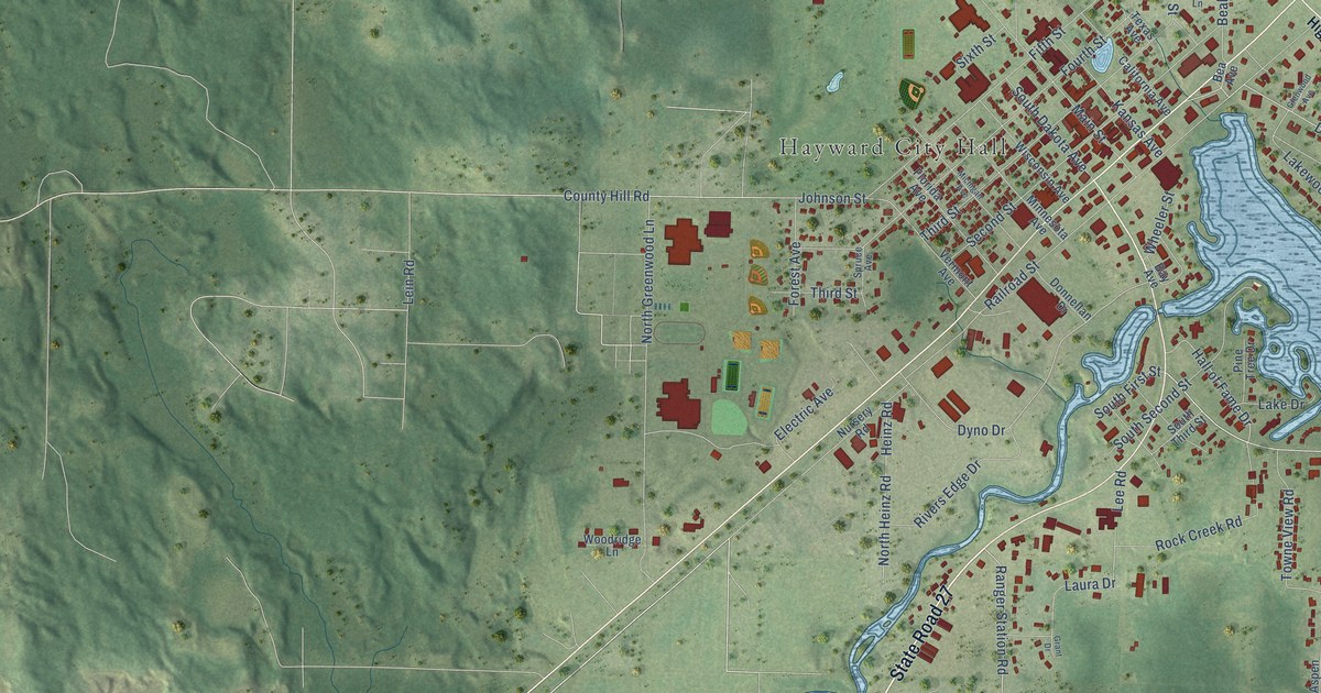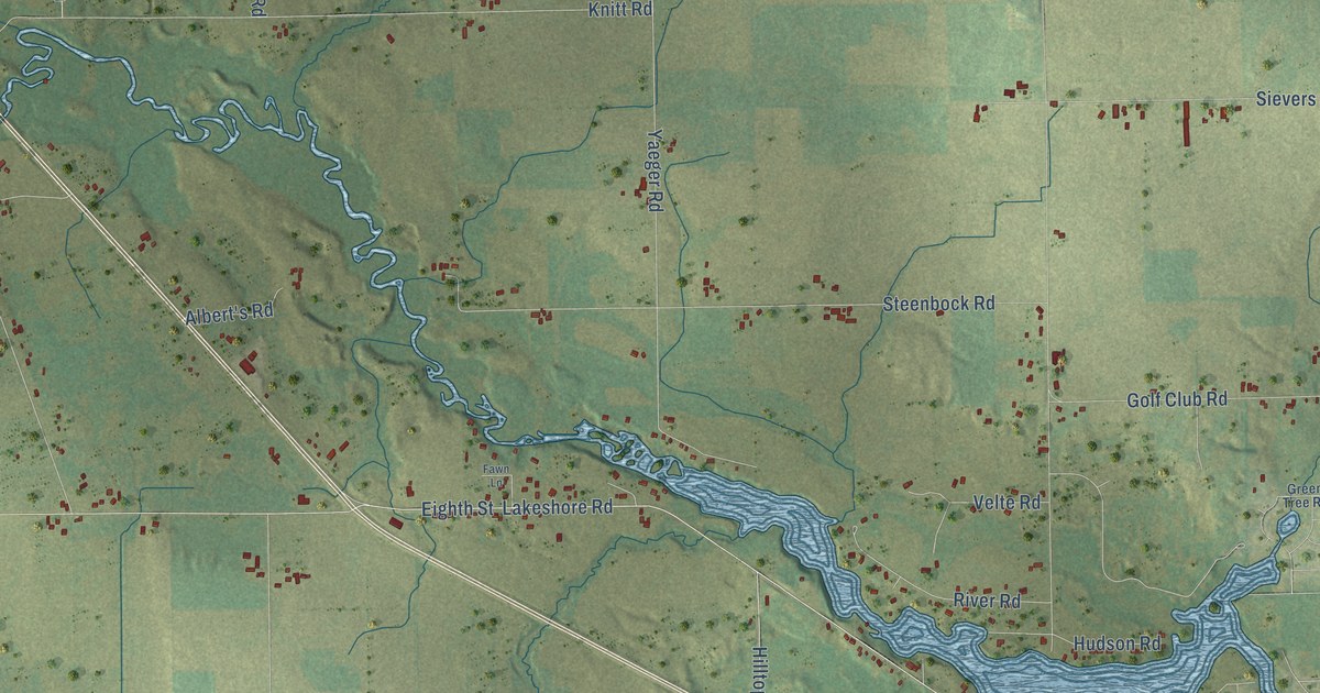
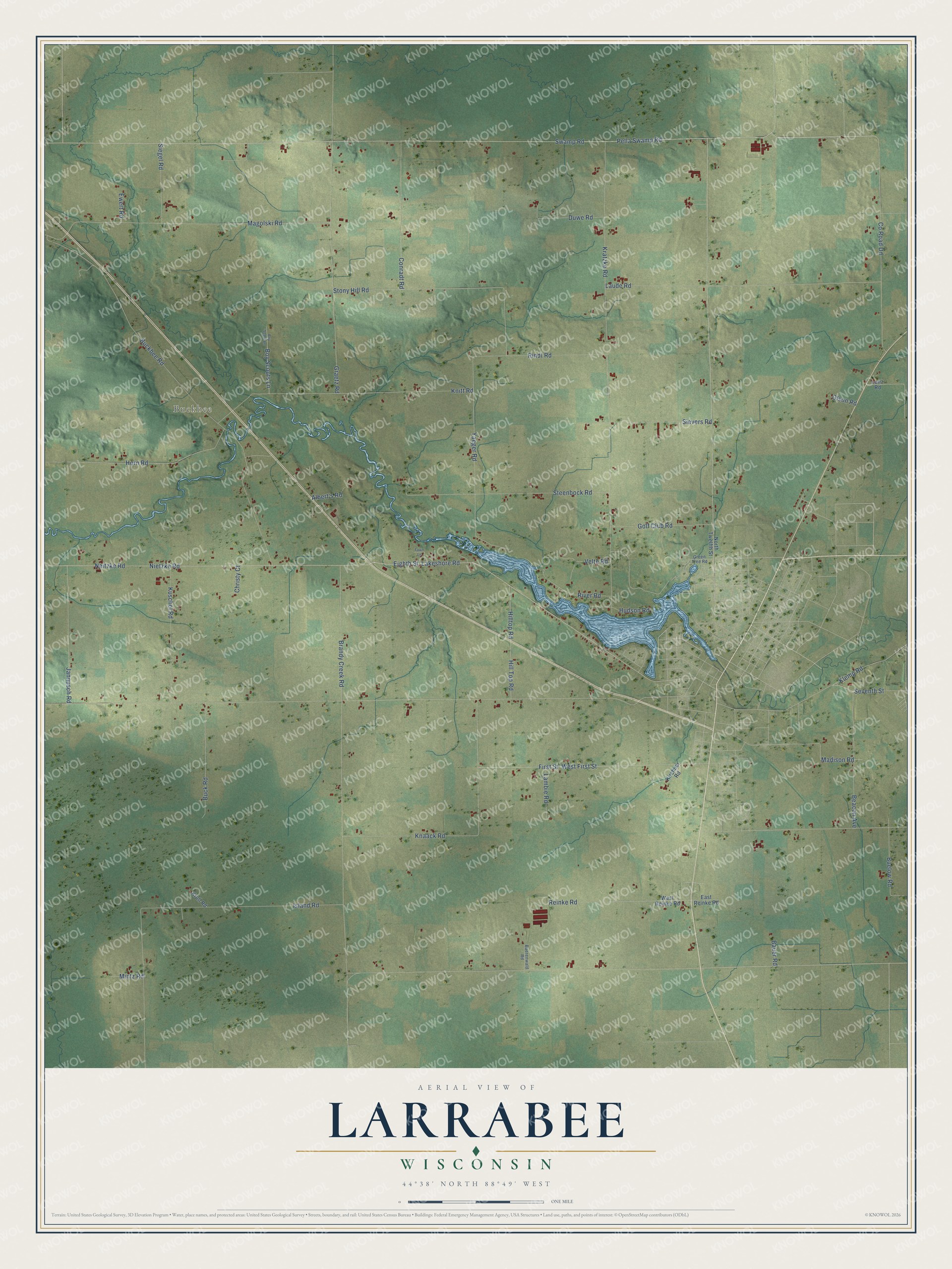
This beautifully detailed map of Larrabee, Wisconsin was created in 2026 using aerial imagery combined with modern topographical, census, street and landmark data. It's a modern aerial view of Larrabee in Waupaca County, Wisconsin, that combines modern data with a vintage aesthetic. The roads feature printed names, and if you look closely you can find your exact house accurately shown in its correct location.
Explore an aerial view of Larrabee, Wisconsin
On this map you'll find Buckbee, Swamp Road, Lakeshore Road, Klemp Road, West First Street, Madison Road, Kratzke Road, Buckbee Road, Brandy Creek Road, Neitzke Road, Nietzke Road, Laude Road, and more. Each red shape is a building, so zoom in on the preview and look for yours.
Here is a piece of Larrabee history, in the words of the record. The Internet Archive puts it this way: "Township 25, Range 14, was taken from Bear
Creek, and made a seperate town by the name of
Larrabee ; the first town meeting to be held at the
school house in District No."
Larrabee is a town in Waupaca County. The Census Bureau counted 1,286 people here in 2020.
Take a closer look at the Larrabee map
Names on this map
These names are printed on this map.
Places: Buckbee.
Streets and roads: Swamp Road, Lakeshore Road, Klemp Road, West First Street, Madison Road, Kratzke Road, Buckbee Road, Brandy Creek Road, Neitzke Road, Nietzke Road, Laude Road, Magolski Road.
More street names, A to Z
Albert's Road, Baerenwald Road, Bauer Road, Beacon Avenue, Boy Scout Lane, Boy Scouts Lane, Buck Road, Buelow Road, Christy Court, Conradt Road, County Road Dd, Duwe Road, East Reinke Road, Eighth Street, Ewert Road, Fawn Lane, First Street, Golf Club Road, Graetz Road, Green Tree Road, Hill Top Road, Hilltop Road, Horn Road, Hudson Road, Island Road, Jannusch Road, Kirchner Road, Knaack Road, Knitt Road, Krull Road, Kuschel Road, Lambie Road, Lunz Road, Mintz Road, North Twelfth Street, Olson Road, Pella Swamp Road, Reinke Road, Rindt Road, River Road, Seventh Street, Siegel Road, Sievers Road, Steenbock Road, Stony Hill Road, Velte Road, West Reinke Road, Yaeger Road.
Created by KNOWOL in 2026. The buildings are small red shapes, the roads carry their printed names, and shaded relief shows the shape of the land. The title panel reads "AERIAL VIEW OF LARRABEE, WISCONSIN" with 44°38' NORTH 88°49' WEST.
It suits a den, a classroom or a front hall, and it makes a gift for anyone with Larrabee roots. Open the preview and find the block you know. See sizes and frames for the Larrabee map.