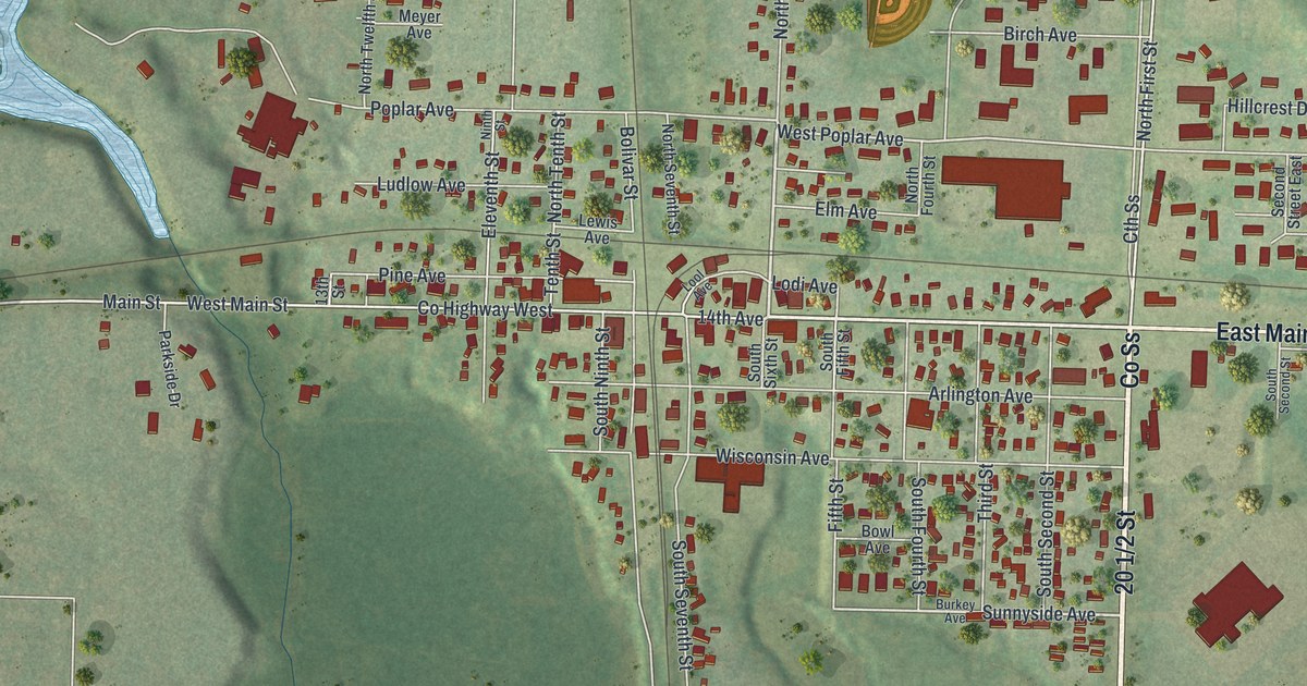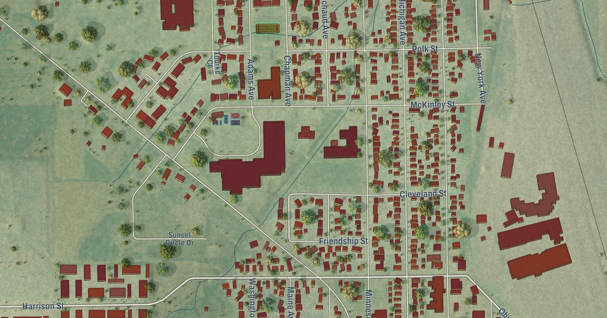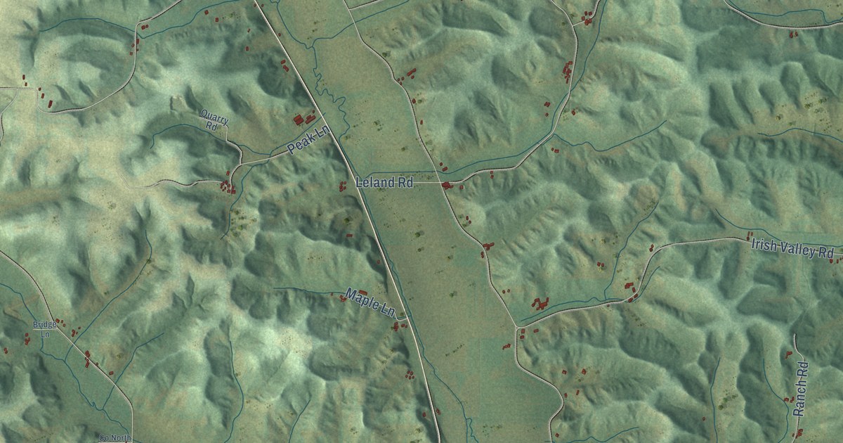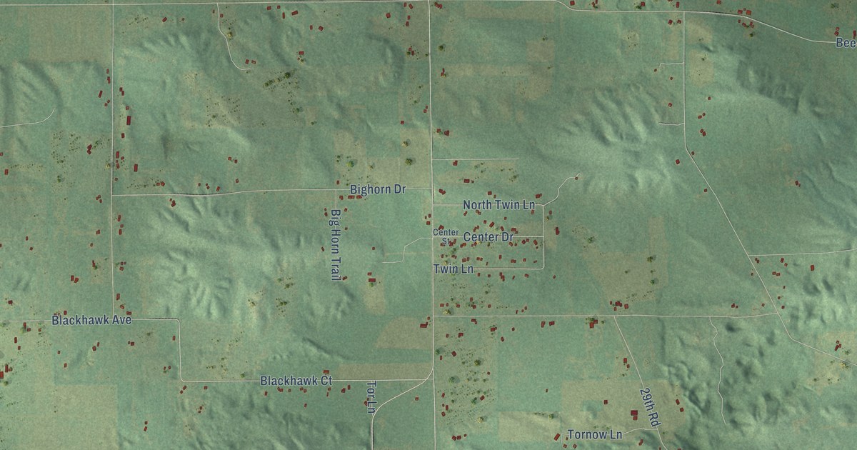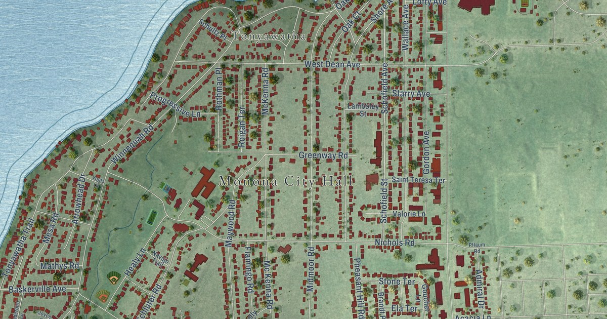
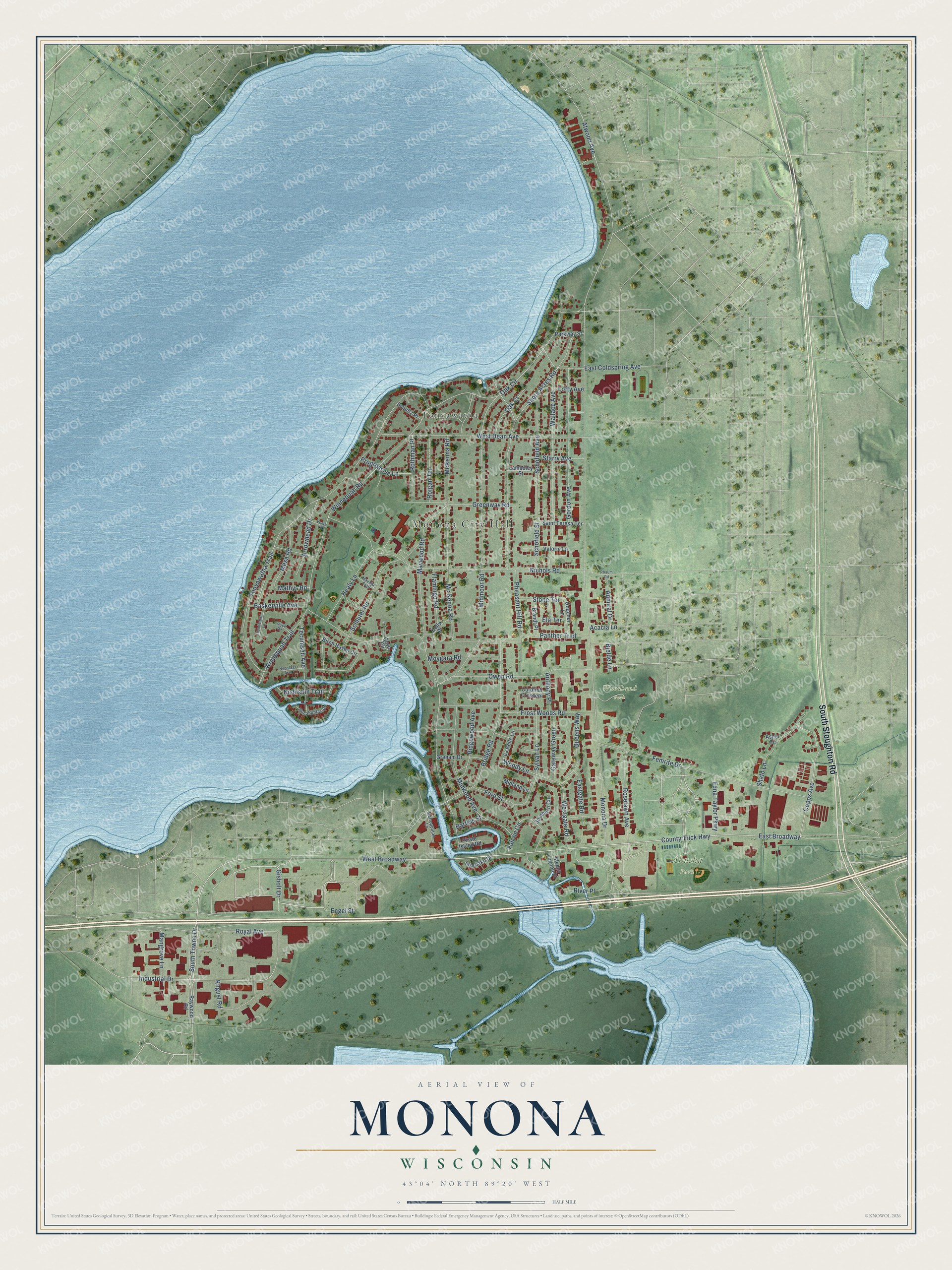
This beautifully detailed map of Monona, Wisconsin was created in 2026 using aerial imagery combined with modern topographical, census, street and landmark data. It's a modern aerial view of Monona in Dane County, Wisconsin, that combines modern data with a vintage aesthetic. The roads feature printed names, and if you look closely you can find your exact house accurately shown in its correct location.
Explore an aerial view of Monona, Wisconsin
On this map you'll find Monona City Hall, Tonyawatha, Ahuska Park, Woodland Park, South Stoughton Road, West Broadway, Engel Street, Gisholt Drive, South Towne Drive, East Broadway, Industrial Drive, Copps Avenue, and more. Each red shape is a building, so zoom in on the preview and look for yours.
Monona is a city in Dane County. The Census Bureau counted 8,624 people here in 2020. The map prints the town name in its title panel, with the coordinates below it.
Take a closer look at the Monona map
Names on this map
These names are printed on this map.
Places: Monona City Hall, Tonyawatha, Ahuska Park and Woodland Park.
Streets and roads: South Stoughton Road, West Broadway, Engel Street, Gisholt Drive, South Towne Drive, East Broadway, Industrial Drive, Copps Avenue, County Trick Highway, Winnequah Road, Royal Avenue, River Place.
More street names, A to Z
Acacia Lane, Admiral Drive, Anthony Place, Arrowhead Drive, Asher Circle, Atwood Avenue, Bartels Street, Baskerville Avenue, Birch Haven Circle, Bjelde Lane, Brandt Place, Bridge Road, Cardinal Crescent, Cove Circle, East Coldspring Avenue, Eastgate Road, Edna Taylor Parkway, Ela Terrace, Falcon Circle, Femrite Drive, Flamingo Road, Ford Street, Frost Woods Road, Gateway Green, Gordon Avenue, Goucher Lane, Graham Drive, Greenway Road, Healy Lane, Interlake Drive, Joyce Road, Kelly Place, Kilgust Road, La Belle Lane, Lamboley Street, Lofty Avenue, Mangrove Lane, Mathys Road, Maywood Road, Mc Kenna Road, McKenna Road, Mesa Road, Metropolitan Lane, Midland Lane, Midmoor Road, Midwood Avenue, Monona Drive, Moygara Road, Navajo Trail, Neponset Trail, Nichols Road, Nishishin Trail, Oak Circle, Oak Court, Owen Road, Panther Trail, Parkway Street, Pflaum Road, Pheasant Hill Road, Pirate Island Road, Pocahontas Drive, Progressive Lane, Queens Way, Raywood Road, Ridgewood Avenue, Roigan Terrace, Roselawn Avenue, Rothman Place, Saint Teresa Terrace, Schluter Road, Schofield Avenue, Schofield Street, Schultz Place, Shato Lane, Shore Acres Road, Sleepy Lagoon Drive, Southern Circle, Starry Avenue, Stone Terrace, Sylvan Lane, Tecumseh Avenue, Thunderbird Lane, Tonyawatha Trail, Valorie Lane, Vogts Lane, Wallace Avenue, West Dean Avenue, Westgate Road, Winnequah Trail, Woody Lane.
Created by KNOWOL in 2026. The buildings are small red shapes, the roads carry their printed names, and shaded relief shows the shape of the land. The title panel reads "AERIAL VIEW OF MONONA, WISCONSIN" with 43°04' NORTH 89°20' WEST.
Hang it in the hallway, the office or the cabin, or give it to someone who left Monona and still calls it home. Open the preview and look for a street you know. See sizes and frames for the Monona map.