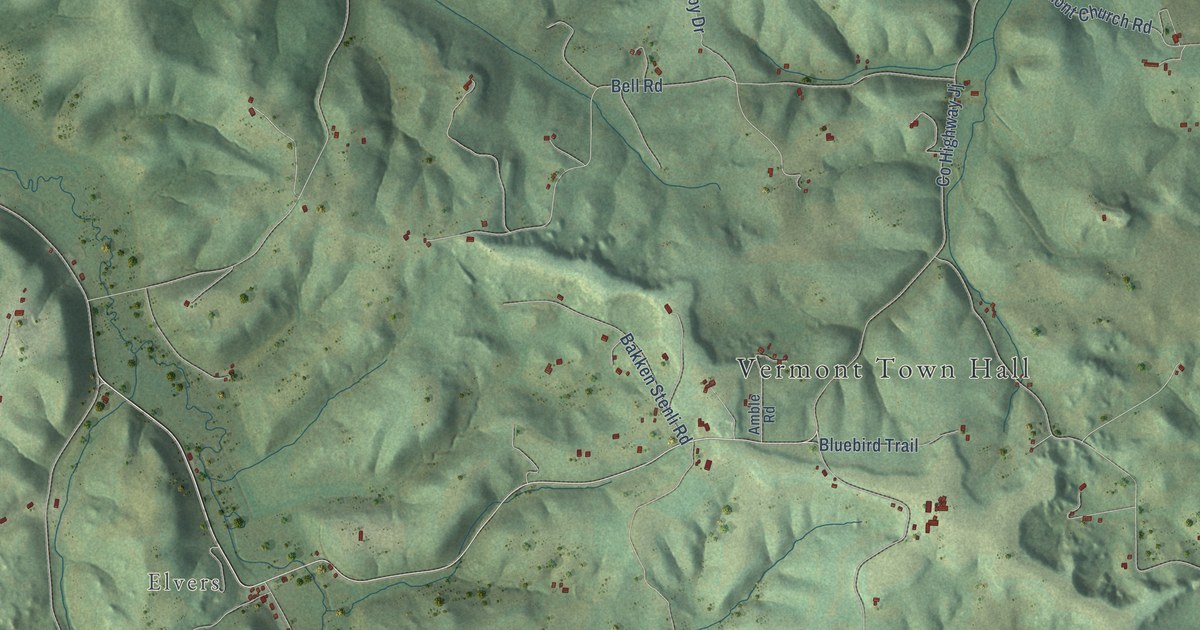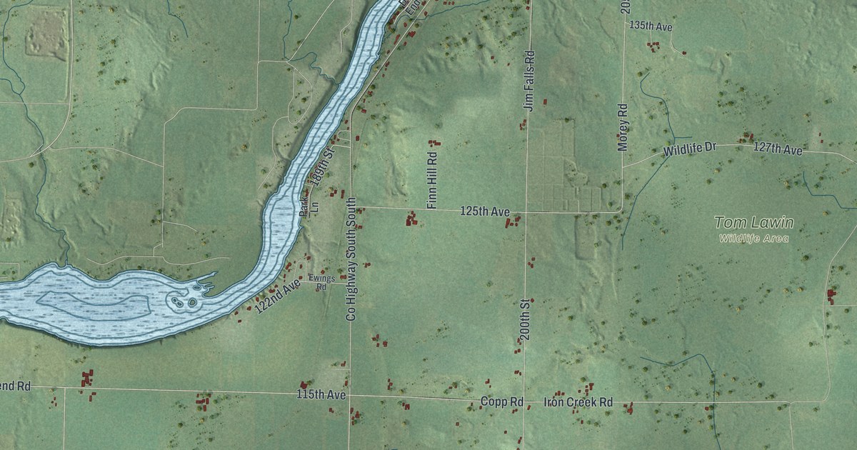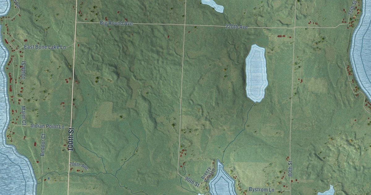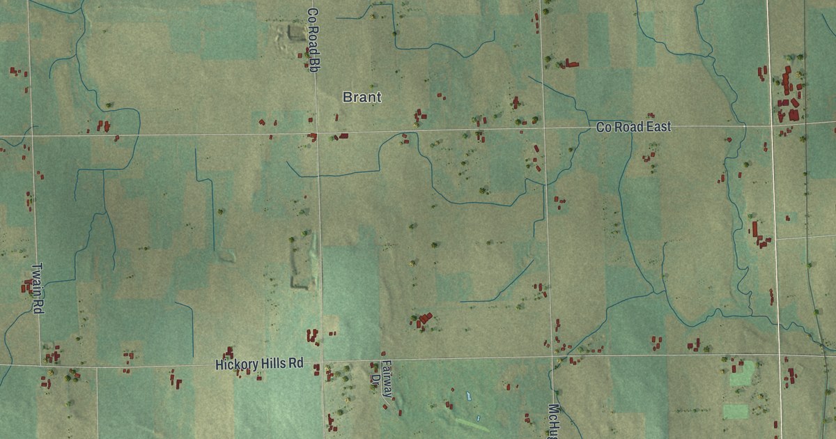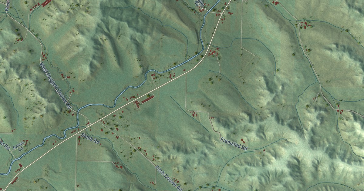
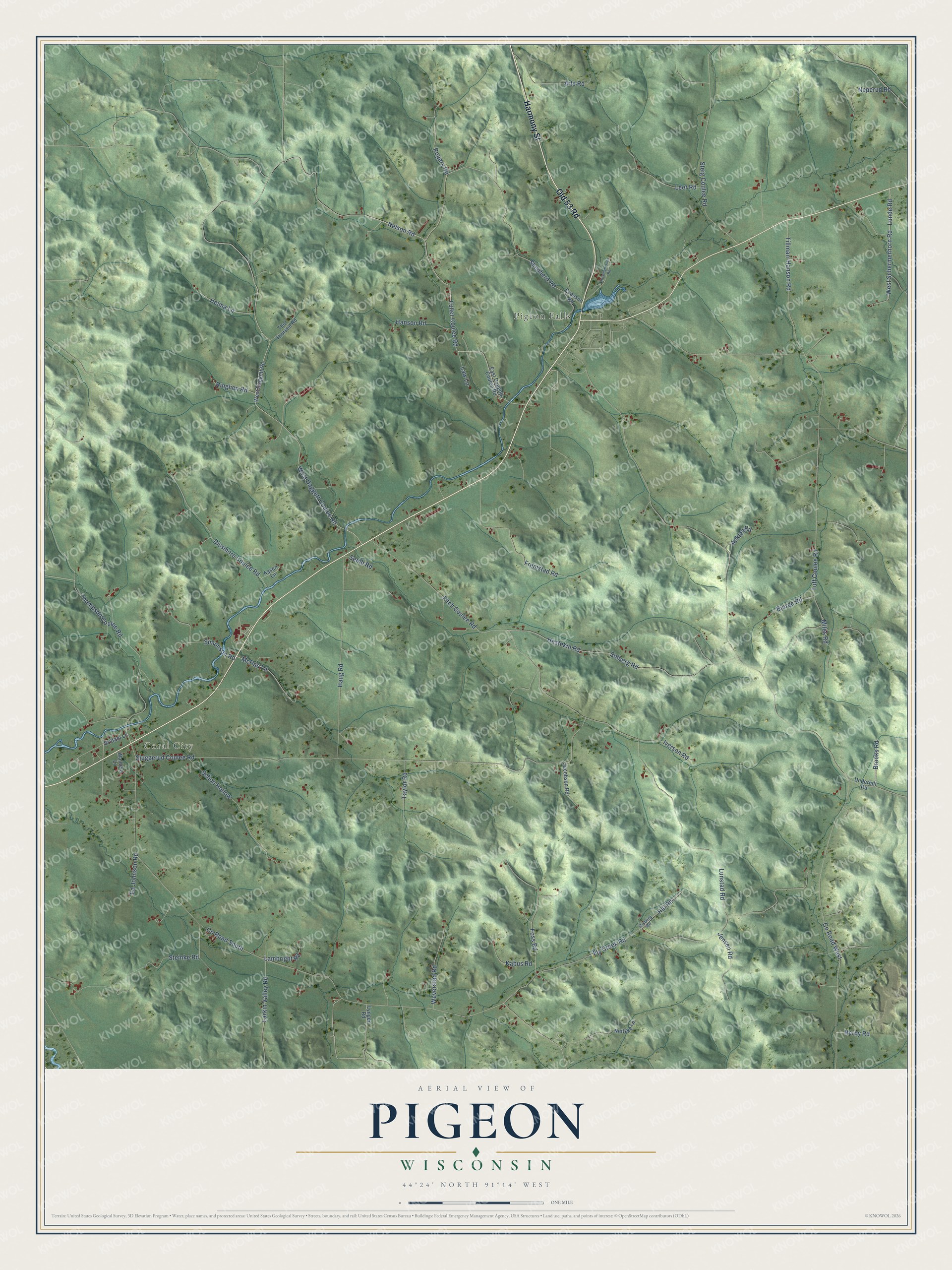
This beautifully detailed map of Pigeon, Wisconsin was created in 2026 using aerial imagery combined with modern topographical, census, street and landmark data. It's a modern aerial view of Pigeon in Trempealeau County, Wisconsin, that combines modern data with a vintage aesthetic. The roads feature printed names, and if you look closely you can find your exact house accurately shown in its correct location.
Explore an aerial view of Pigeon, Wisconsin
On this map you'll find Coral City, Pigeon Falls, Harmony Street, Old 53 Road, Lunde Road, West Schermerhorn Road, Thompson Coulee Road, Nelson Road, Shepherd Road, Co Road West, Co Road South, Sjuggerud Coulee Road, and more. Each red shape is a building, so zoom in on the preview and look for yours.
Every town has a first chapter, and Pigeon is no exception. The Trempealeau County History puts it this way: "The town of Pigeon, from April 2, 1861, until Jan. 5, 1875, was a part of the town of Lincoln. As a separate political unit it held its first meeting at Pigeon Falls April 13, 1875."
Pigeon is a town in Trempealeau County. The Census Bureau counted 1,018 people here in 2020.
Take a closer look at the Pigeon map
Names on this map
These names are printed on this map.
Places: Coral City and Pigeon Falls.
Streets and roads: Harmony Street, Old 53 Road, Lunde Road, West Schermerhorn Road, Thompson Coulee Road, Nelson Road, Shepherd Road, County Road West, County Road South, Sjuggerud Coulee Road, West Daggett Coulee Road, Fly Creek Road.
More street names, A to Z
Aasen Lane, Ackley Road, Arts Road, Bjorge Road, Brittani Lane, Brooks Road, Christopherson Road, Dissmore Coulee Road, East Daggett Coulee Road, Ed Johnson Road, Evenson Road, Fitch Coulee Road, Foss Road, Fremstad Road, Fuller Coulee Road, Hanson Road, Haug Road, Helma Lane, Hestekin Road, Hill Road, Iverson Road, Jacobson Road, Jensen Road, Kabus Road, Lambright Road, Larkin Valley Road, Law Lane, Leer Road, Lunstad Road, Lyngen Road, McRae Lane, Miles Road, Neitzke Lane, Neperud Road, Nerby Road, Ringlien Road, Risberg Road, Rogers Road, Schon Hollow, Semb Road, Simonson Road, Solberg Road, Steig Coulee Road, Steinke Road, Taylor Road, Thor Thorsen Road, Tillman-Hanson Road, Tuff Coulee Road, Underhill Road, Waldera Lane, West Daggett Road, Weverstad Road.
Created by KNOWOL in 2026. The buildings are small red shapes, the roads carry their printed names, and shaded relief shows the shape of the land. The title panel reads "AERIAL VIEW OF PIGEON, WISCONSIN" with 44°24' NORTH 91°14' WEST.
Hang it in the hallway, the office or the cabin, or give it to someone who left Pigeon and still calls it home. Open the preview and look for a street you know. See sizes and frames for the Pigeon map.