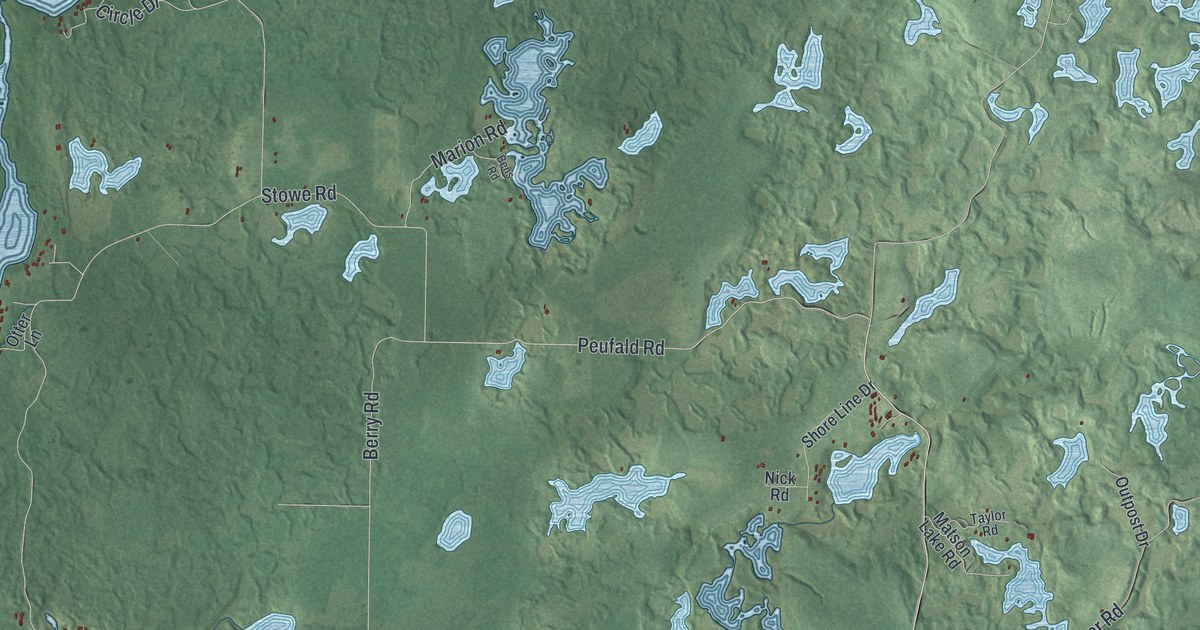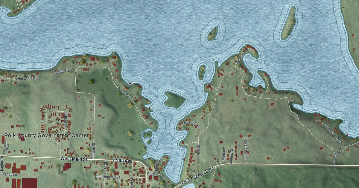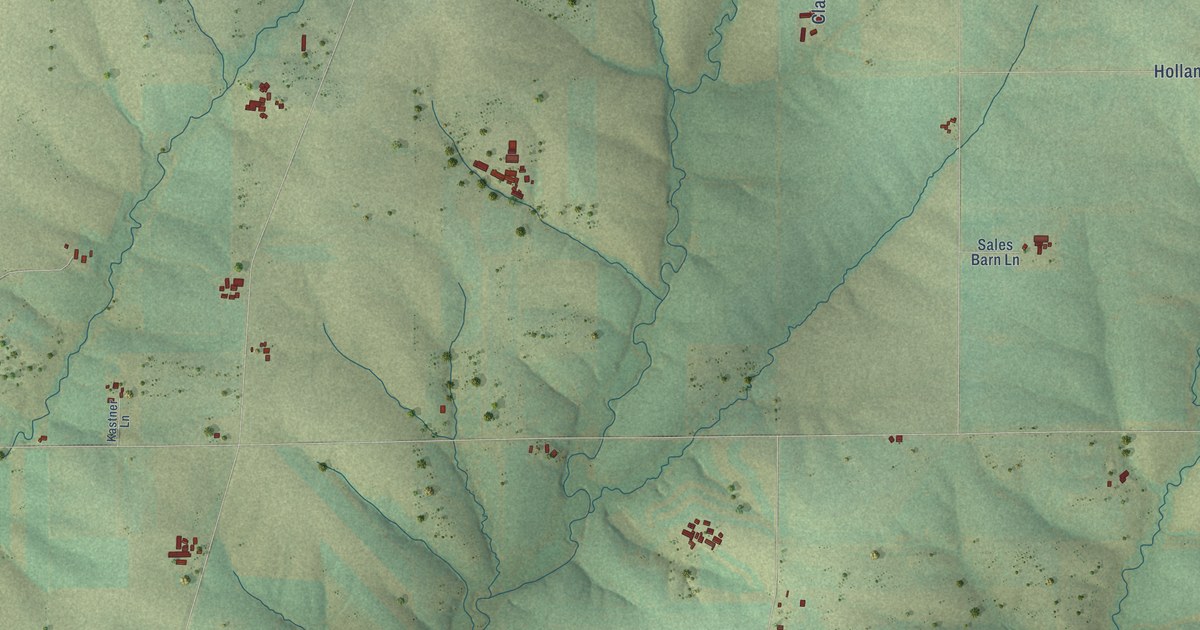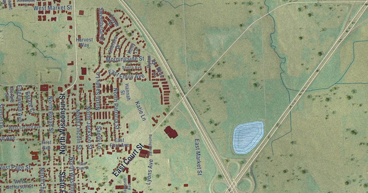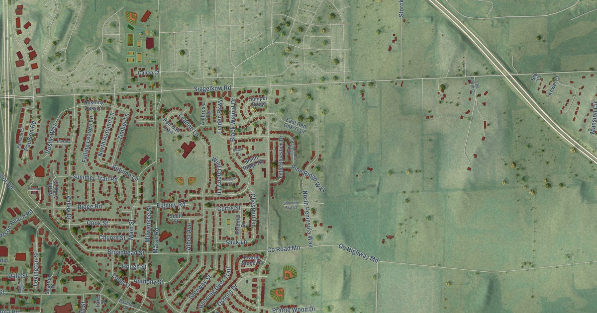
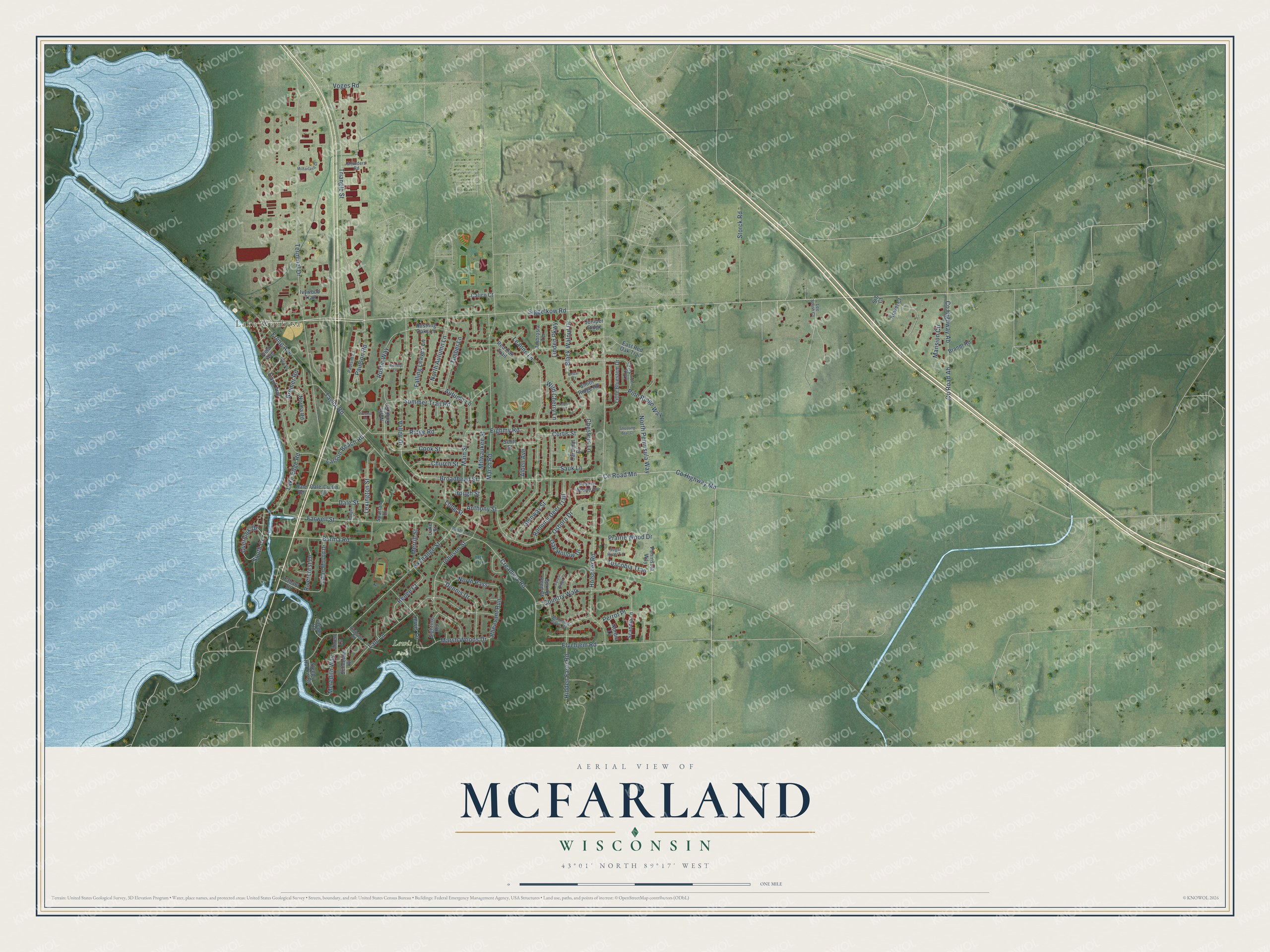
This beautifully detailed map of McFarland, Wisconsin was created in 2026 using aerial imagery combined with modern topographical, census, street and landmark data. It's a modern aerial view of McFarland in Dane County, Wisconsin, that combines modern data with a vintage aesthetic. The roads feature printed names, and if you look closely you can find your exact house accurately shown in its correct location.
Explore an aerial view of McFarland, Wisconsin
On this map you'll find Lake Waubesa, Lewis Park, Siggelkow Road, Triangle Street, Johnson Street, Erling Avenue, Co Highway Mn, Black Walnut Drive, Lake Edge Road, Creamery Road, Larson Beach Road, North Autumn Lane, and more. Each red shape is a building, so zoom in on the preview and look for yours.
Here is a piece of McFarland history, in the words of the record. The History of Dane County puts it this way: "The village of McFarland was laid out in 1856, and named after W. H. McFarland. The Milwaukee & Prairie Du Chien Railroad Company had previously built a depot, about one and a quarter miles south of the present site, but, not having land enough, and being asked exorbitant prices for adjacent lands, they moved the depot to where it now stands."
McFarland is a village in Dane County. The Census Bureau counted 8,991 people here in 2020.
Take a closer look at the McFarland map
Names on this map
These names are printed on this map.
Places: Lake Waubesa and Lewis Park.
Streets and roads: Siggelkow Road, Triangle Street, Johnson Street, Erling Avenue, County Highway Mn, Black Walnut Drive, Lake Edge Road, Creamery Road, Larson Beach Road, North Autumn Lane, Pheasant Run, Terminal Drive.
More street names, A to Z
Ahren Lane, Alben Avenue, Ambrosia Terrace, Anthony Street, Aspen Court, Autumn Lane, Badger Street, Bashford Street, Brandt Road, Bremer Road, Broadhead Street, Burma Road, Calico Court, Card Avenue, Cardinal Drive, Cedar Court, Chestnut Lane, Church Street, Cook Street, Country Walk, County Highway Ab, County Road Ab, County Road Mn, Curtis Street, Dale-Curtin Drive, Dale Road, Dale Street, Dennis Drive, East Linden Parkway, East Red Oak Trail, Eighmy Road, Elvehjem Road, Exchange Street, Falling Leaves Lane, Farwell Street, Field Avenue, Forest Ridge Court, Glen Road, Glenway Street, Hickory Lane, Hidden Farm Road, Highland Drive, Holscher Road, Hough Street, Indian Mound Drive, Ivywood Trail, Jaeger Road, Juniper Ridge, Kowel Court, Lake Street, Lani Lane, Leanne Lane, Lee South Court, Lewis Lane, Lexington Street, Linden Parkway, Little Bluestem Drive, Long Street, Main Street, Mansion Circle, Marsh Road, Marsh Woods Drive, McFarland Court, Meinders Road, Meredith Way, Merrill Street, Milwaukee Street, Mourning Dove Drive, Nordic Lane, Norma Road, North Cook Street, North Pass, North Peninsula Way, Oak Hollow Drive, Osborn Drive, Overlook Drive, Paulson Court, Paulson Road, Peninsula Way, Perrot Place, Pine Ridge Way, Prairie Stone Drive, Prairie Wood Drive, Preston Place, Red Oak Trail, Renee Court, Ridge Road, Rivercrest Drive, Running Deer Trail, Rustic Way, Rustling Oaks Lane, Sauk Lane, Scandia Lane, Schneider Place, Scott Street, Shooting Star Court, Sig Court, Sighting Road, Sleepy Hollow Road, Smith Ridge Road, South Court, Spartan Drive, Spring Pond Court, Storck Road, Sugar River Lane, Summer Trail Road, Taylor Road, Timber Lane, Tuscobia Trail, Valley Drive, Voges Road, Wild Cherry Lane, Yahara Drive.
Created by KNOWOL in 2026. The buildings are small red shapes, the roads carry their printed names, and shaded relief shows the shape of the land. The title panel reads "AERIAL VIEW OF MCFARLAND, WISCONSIN" with 43°01' NORTH 89°17' WEST.
It suits a den, a classroom or a front hall, and it makes a gift for anyone with McFarland roots. Open the preview and find the block you know. See sizes and frames for the McFarland map.