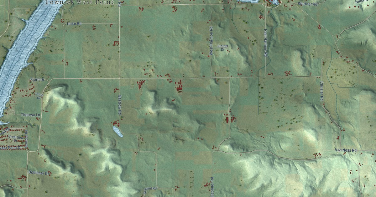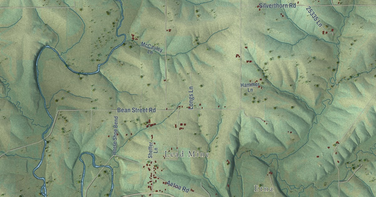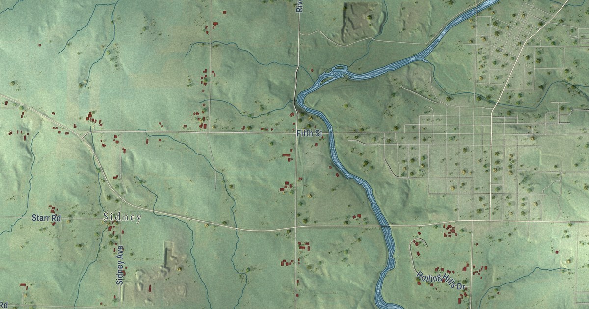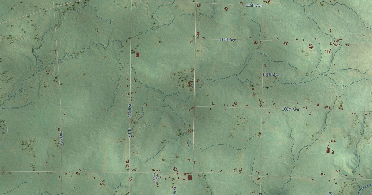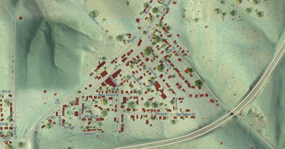
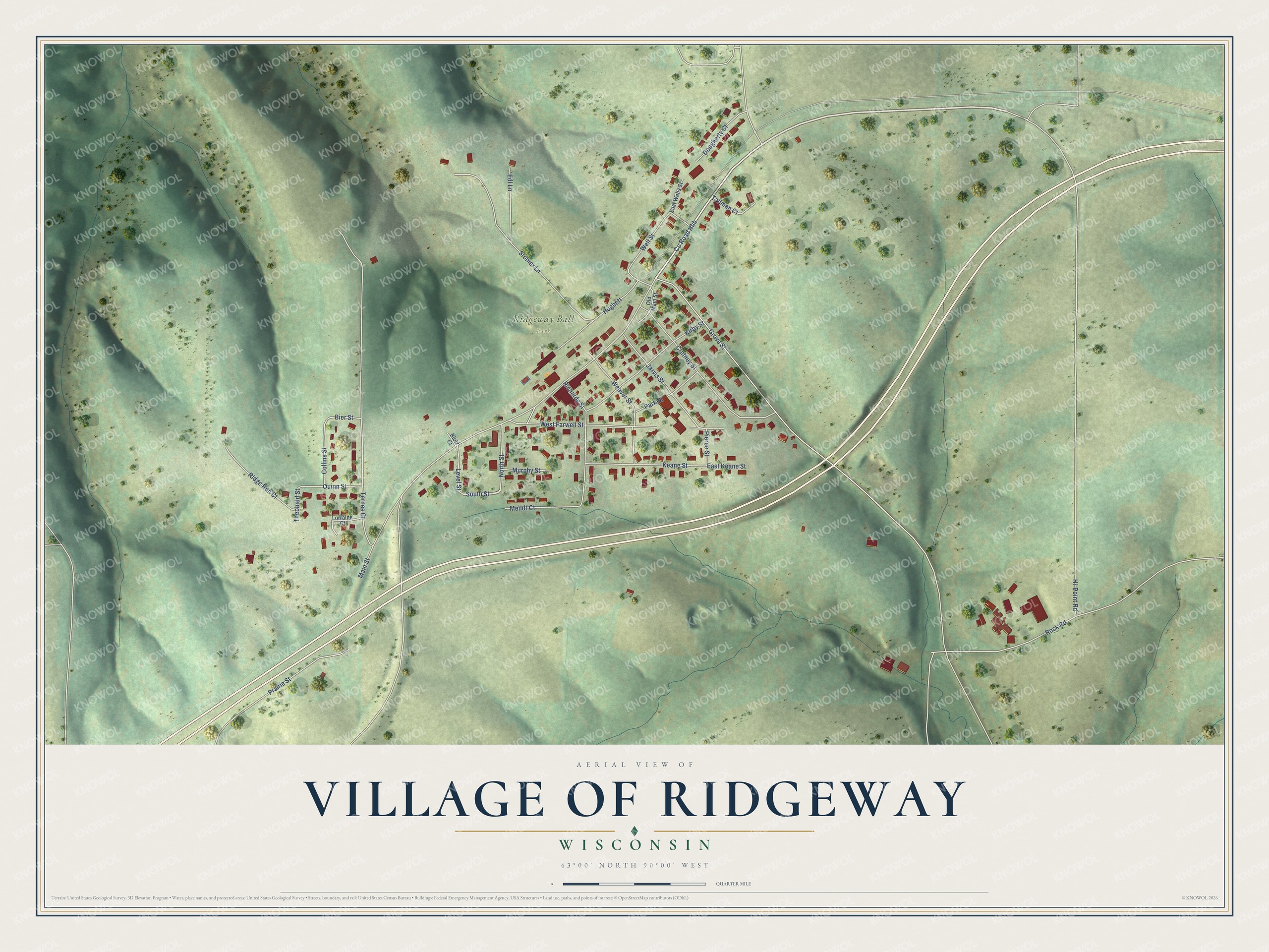
This beautifully detailed map of Ridgeway, Wisconsin was created in 2026 using aerial imagery combined with modern topographical, census, street and landmark data. It's a modern aerial view of Ridgeway in Iowa County, Wisconsin, that combines modern data with a vintage aesthetic. The roads feature printed names, and if you look closely you can find your exact house accurately shown in its correct location.
Explore an aerial view of Ridgeway, Wisconsin
On this map you'll find Ridgeway Ball Park, Co Road Hhh, South Street, Main Street, Grove Street, Ternes Court, Stonier Lane, Cretney Street, West Farwell Street, Kirby Street, Rock Road, Richards Street, and more. Each red shape is a building, so zoom in on the preview and look for yours.
Ridgeway has a story worth telling. The History of Iowa County puts it this way: "G. W. Hickcox came to Ridgeway from Utica, N. Y., in 1836, and located on Section 14, Town 6, Range 4. Here he built a log house, which was for several years the principal stopping-place for travelers who were passing through the county over the old military road, near which it stood."
Ridgeway is a village in Iowa County. The Census Bureau counted 624 people here in 2020.
Take a closer look at the Ridgeway map
Names on this map
These names are printed on this map.
Places: Ridgeway Ball Park.
Streets and roads: County Road Hhh, South Street, Main Street, Grove Street, Ternes Court, Stonier Lane, Cretney Street, West Farwell Street, Kirby Street, Rock Road, Richards Street, Weaver Street.
More street names, A to Z
Bier Street, Blotz Court, Collins Street, Dougherty Court, East Keane Street, East Wells Street, Edl Lane, Hi-Point Road, Hughett, Jarvis Street, Keane Street, Level Street, Lorraine Court, Meudt Court, Murphy Street, North Street, Old Main Street, Park Street, Pierce Street, Prairie Street, Quinn Street, Ridge Run Court, Tallman Court, Theobald Street, Well Street.
Created by KNOWOL in 2026. The buildings are small red shapes, the roads carry their printed names, and shaded relief shows the shape of the land. The title panel reads "AERIAL VIEW OF VILLAGE OF RIDGEWAY, WISCONSIN" with 43°00' NORTH 90°00' WEST.
It looks right in a kitchen, an office or a den, and it's a gift for anyone who grew up in Ridgeway or moved away. Open the preview and find your street. See sizes and frames for the Ridgeway map.