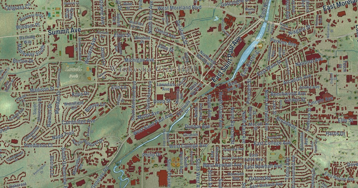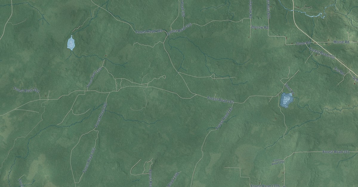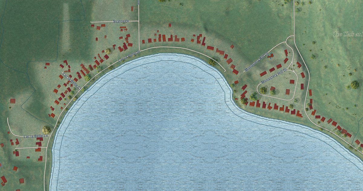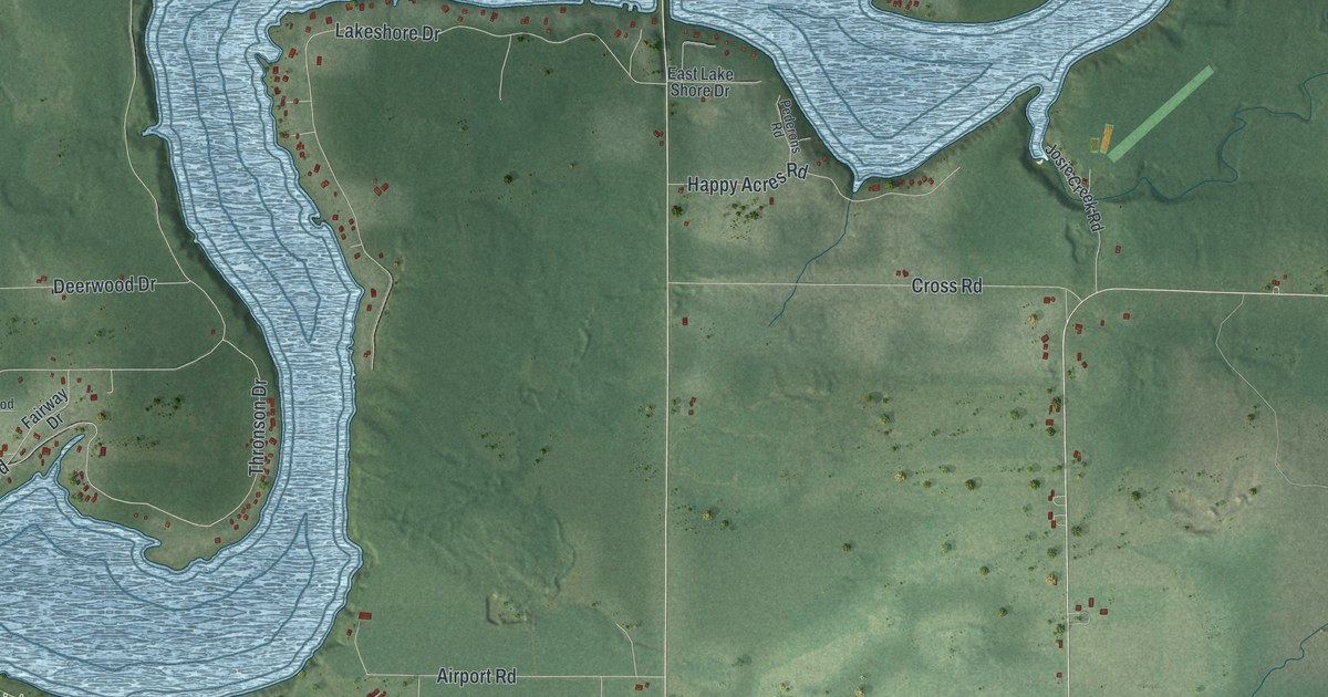
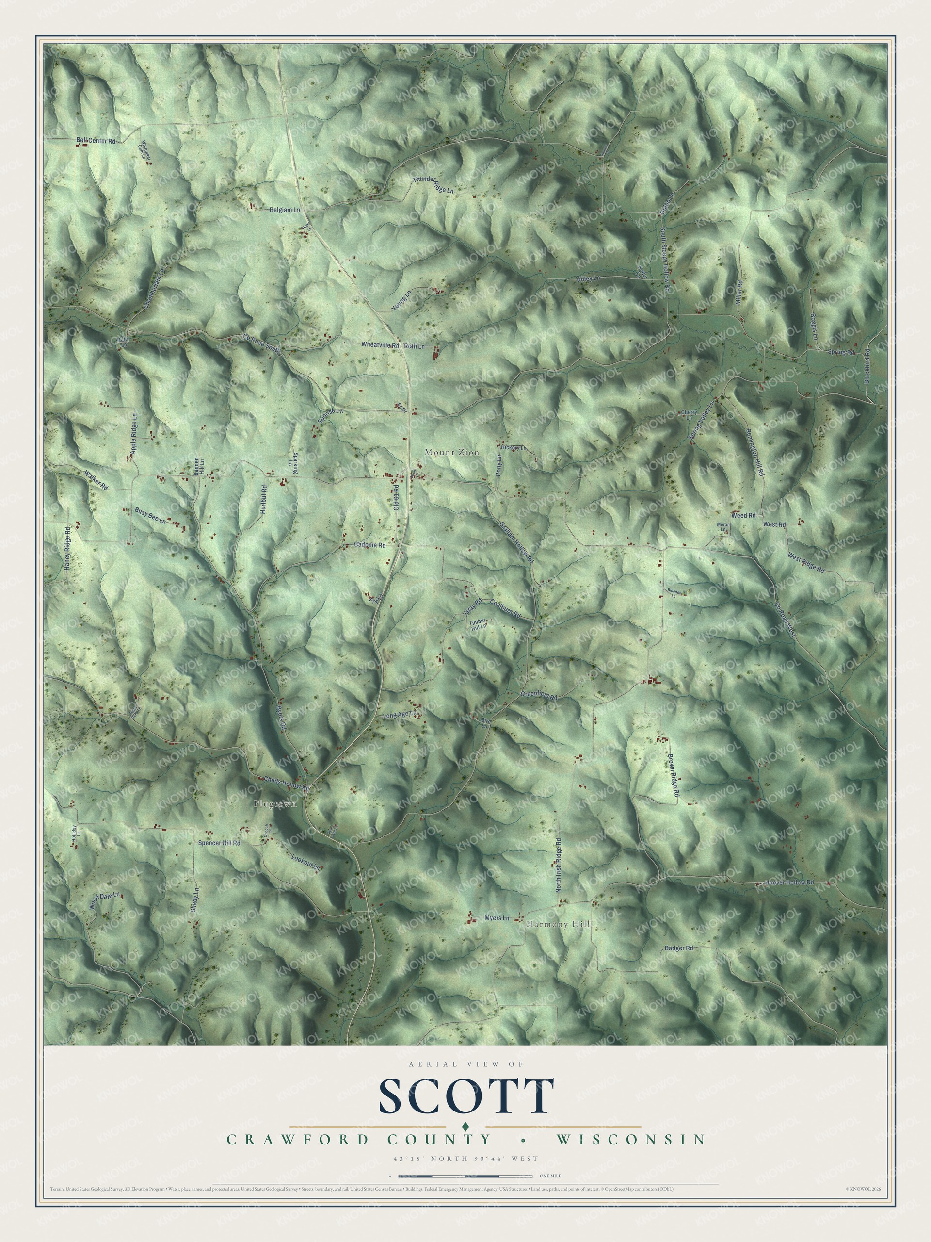
This beautifully detailed map of Scott, Wisconsin was created in 2026 using aerial imagery combined with modern topographical, census, street and landmark data. It's a modern aerial view of Scott in Crawford County, Wisconsin, that combines modern data with a vintage aesthetic. The roads feature printed names, and if you look closely you can find your exact house accurately shown in its correct location.
Explore an aerial view of Scott, Wisconsin
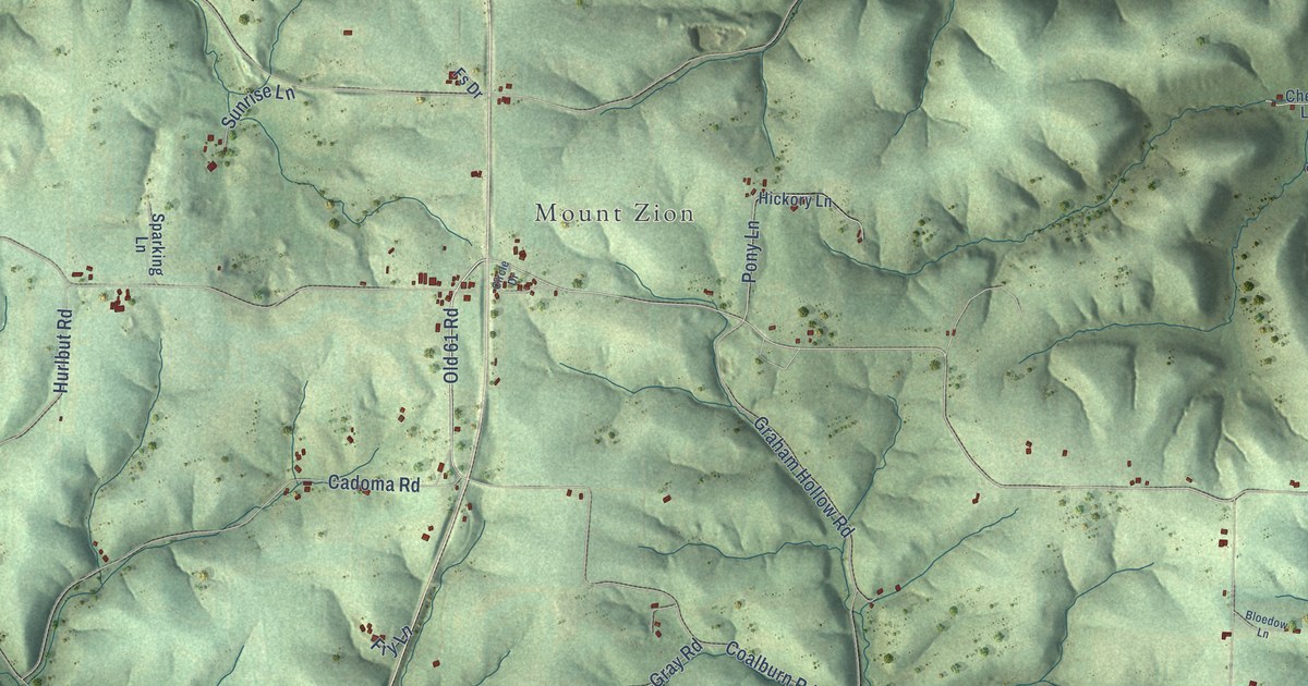
On this map you'll find Harmony Hill, Plugtown, Mount Zion, Blackbird Road, Co Road West, Old 61 Road, West Road, West Ridge Road, Weed Road, Co Road South, North Irish Ridge Road, Graham Hollow Road, and more. Each red shape is a building, so zoom in on the preview and look for yours.
Scott has a story worth telling. The Crawford County History puts it this way: "The first religious services in the town of Scott were conducted by the United Brethren, whose preacher held services at the house of William Elliott in June, 1853."
Scott is a town in Crawford County. The Census Bureau counted 519 people here in 2020.
Take a closer look at the Scott map
Names on this map
These names are printed on this map.
Places: Harmony Hill, Plugtown and Mount Zion.
Streets and roads: Blackbird Road, County Road West, Old 61 Road, West Road, West Ridge Road, Weed Road, County Road South, North Irish Ridge Road, Graham Hollow Road, South Sleepy Hollow Road, Spencer Hill Road, Byers Road.
More street names, A to Z
Apple Ridge Lane, Badger Road, Bannen Hill Lane, Bear Cave Lane, Belgiam Lane, Bell Center Road, Bird Lane, Bloedow Lane, Boggis Lane, Brown Ridge Road, Busy Bee Lane, Cadoma Road, Chamberlain Lane, Cherry Lane, Childs Hollow Road, Circle Drive, Coalburn Road, Dilley Lane, Fry Lane, Fs Drive, Gobin Lane, Gray Road, Greenfield Road, Hady Lane, Haney Ridge Road, Hickory Lane, Hodur Lane, Holliday Lane, Hoover Hollow Road, Hope Lane, Hurlbut Road, Long Ago Lane, Lookout Lane, Miller Road, Moran Lane, Myers Lane, Ocooch Lane, Pony Lane, Remington Hill Road, Roth Lane, Shady Lane, Sparking Lane, Spooky Drive, Spring Road, Spring Valley Lane, Sunny Bank Lane, Sunrise Lane, Thunder Ridge Lane, Timber Hill Lane, Walker Road, Wheatville Road, Whiteaker Cem Lane, Wood Dale Lane, Young Lane.
Created by KNOWOL in 2026. The buildings are small red shapes, the roads carry their printed names, and shaded relief shows the shape of the land. The title panel reads "AERIAL VIEW OF SCOTT, CRAWFORD COUNTY • WISCONSIN" with 43°15' NORTH 90°44' WEST.
It looks right in a kitchen, an office or a den, and it's a gift for anyone who grew up in Scott or moved away. Open the preview and find your street. See sizes and frames for the Scott, Crawford County map.