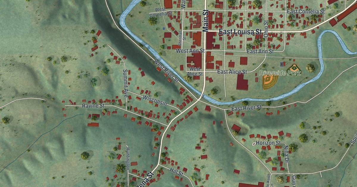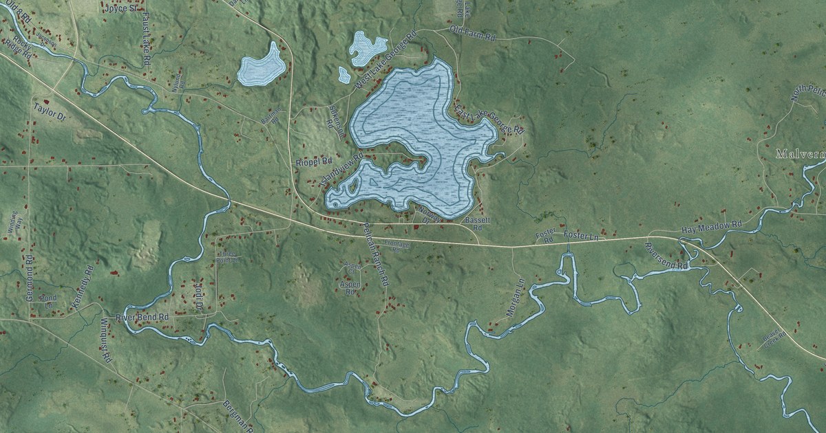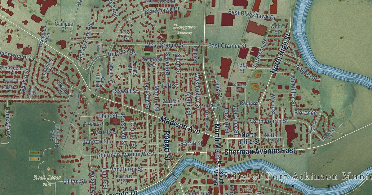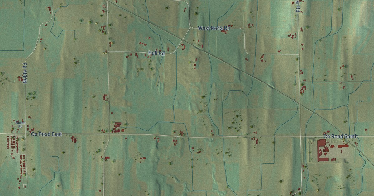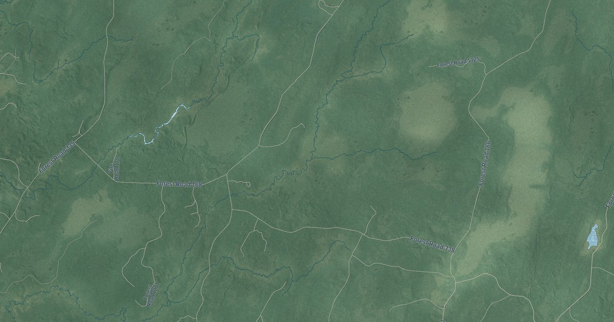
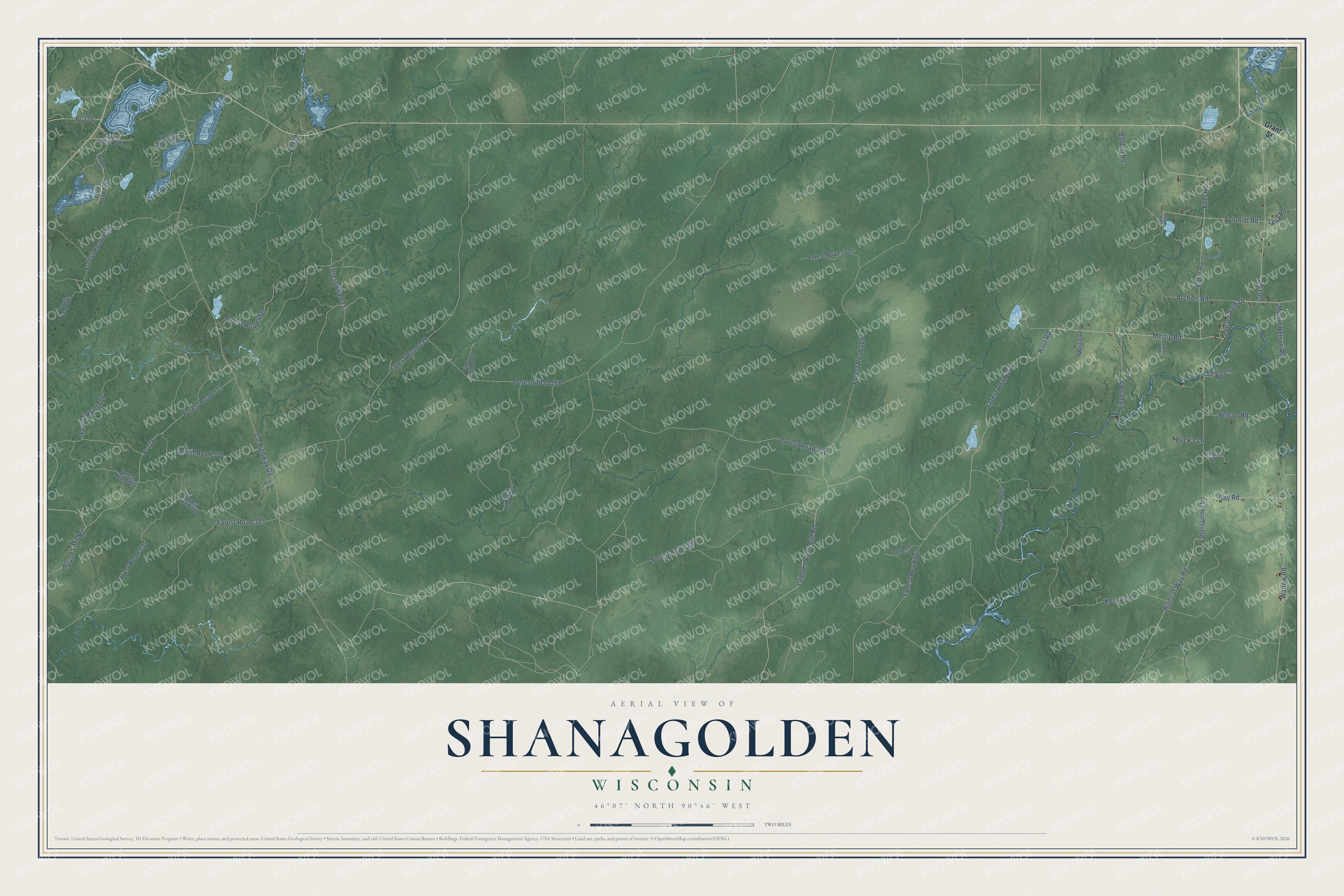
This beautifully detailed map of Shanagolden, Wisconsin was created in 2026 using aerial imagery combined with modern topographical, census, street and landmark data. It's a modern aerial view of Shanagolden in Ashland County, Wisconsin, that combines modern data with a vintage aesthetic. The roads feature printed names, and if you look closely you can find your exact house accurately shown in its correct location.
Explore an aerial view of Shanagolden, Wisconsin
On this map you'll find Mertig Road, Leonard York Drive, Rast Road, Forest Road 167, Lutz Road, Glidden Short Cut Road, Schmidt Road, Wallow Road, Forest Road 173, Round Lake Road, Fr 176, Forest Road 168, and more. Each red shape is a building, so zoom in on the preview and look for yours.
Shanagolden has a story worth telling. The Dave Engel’s Shanagolden puts it this way: "Even the name, Shanagolden, borrowed from the Nash ancestral home in County Limerick, Ireland, seemed to be imbued with some kind of magic."
Shanagolden is a town in Ashland County. The Census Bureau counted 131 people here in 2020.
Take a closer look at the Shanagolden map
Names on this map
These names are printed on this map.
Streets and roads: Mertig Road, Leonard York Drive, Rast Road, Forest Road 167, Lutz Road, Glidden Short Cut Road, Schmidt Road, Wallow Road, Forest Road 173, Round Lake Road, Fr 176, Forest Road 168.
More street names, A to Z
Archies Road, Bay Road, Bebeau Road, Bolden Road, Buck's Lane, County Highway Gg, Eder Road, Elder Road, Fire Road 170, Forest Road 166, Forest Road 176, Forest Road 300, Forest Road 301, Forest Road 323, Forest Road 325, Forest Road 327, Forest Road 327 East, Forest Road 331, Forest Road 335, Forest Road 337, Forest Road 338, Forest Road 365, Forest Road 450, Forest Road 1262, Forest Road 1265, Forest Road 1267, Forest Road 1271, Forest Road 1275, Forest Road 1277, Forest Road 1285, Forest Road 1325, Forsberg Lane, Fr 336, Fr 339, Grant Street, Jakes Road, Kenyon Road, Lenz Road, Leo's Road, McLaren Lake Road, Melvin Nelson Road, Mertig Lane, Nelson Road, Pieper Road, Put Road, Right of Way Road, Shanagolden Road, Swansons Road.
Created by KNOWOL in 2026. The buildings are small red shapes, the roads carry their printed names, and shaded relief shows the shape of the land. The title panel reads "AERIAL VIEW OF SHANAGOLDEN, WISCONSIN" with 46°07' NORTH 90°46' WEST.
It looks right in a kitchen, an office or a den, and it's a gift for anyone who grew up in Shanagolden or moved away. Open the preview and find your street. See sizes and frames for the Shanagolden map.