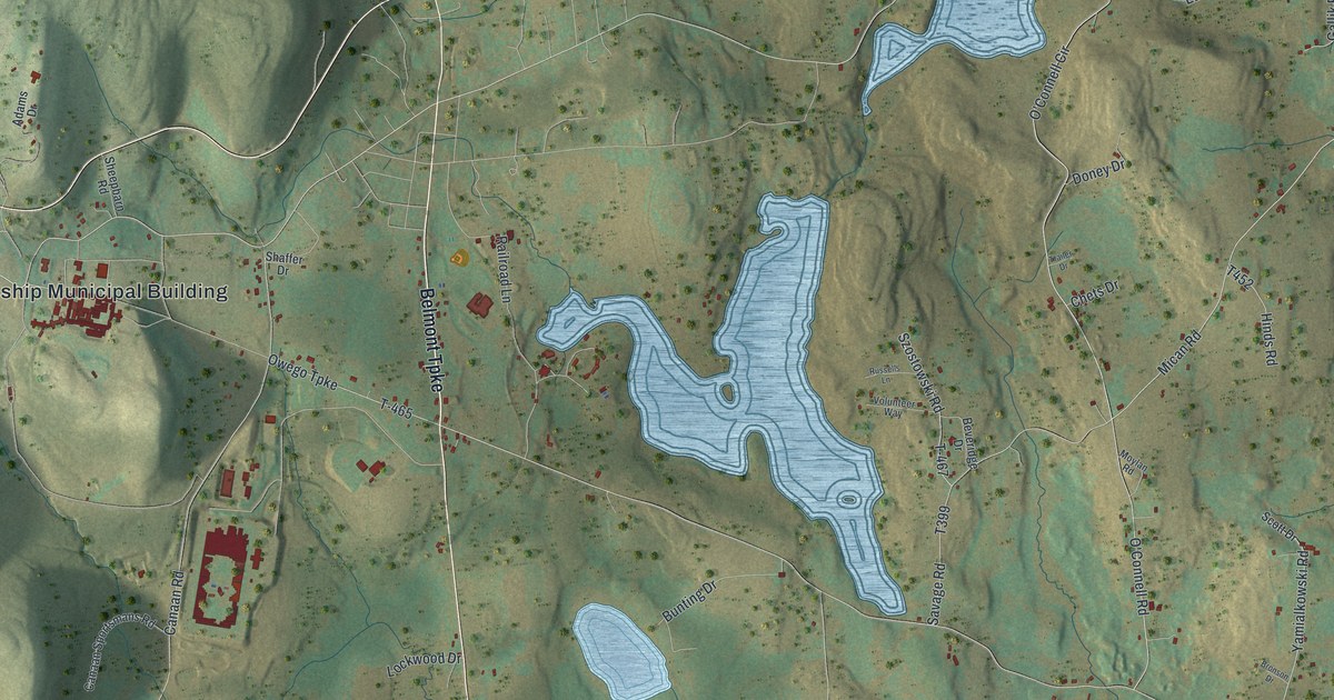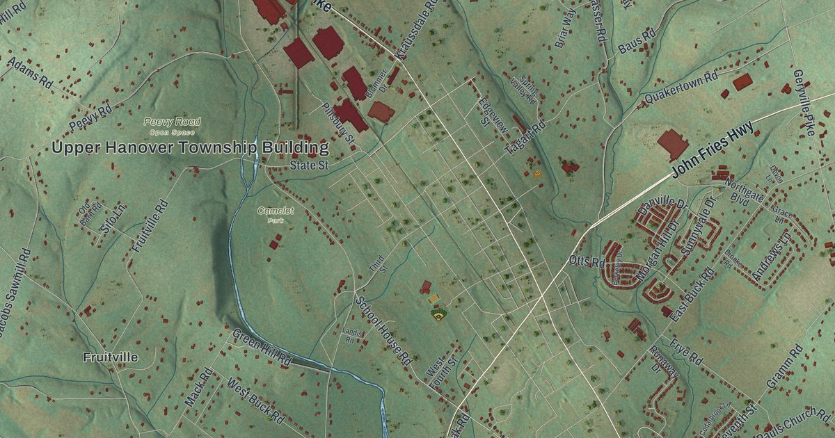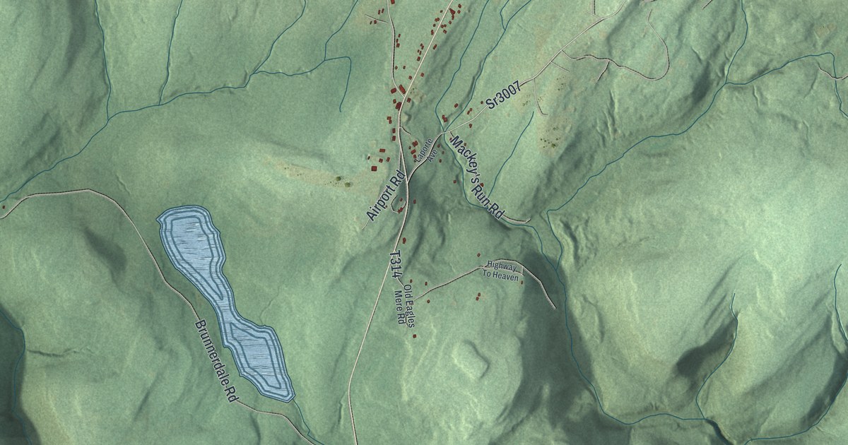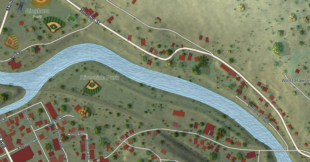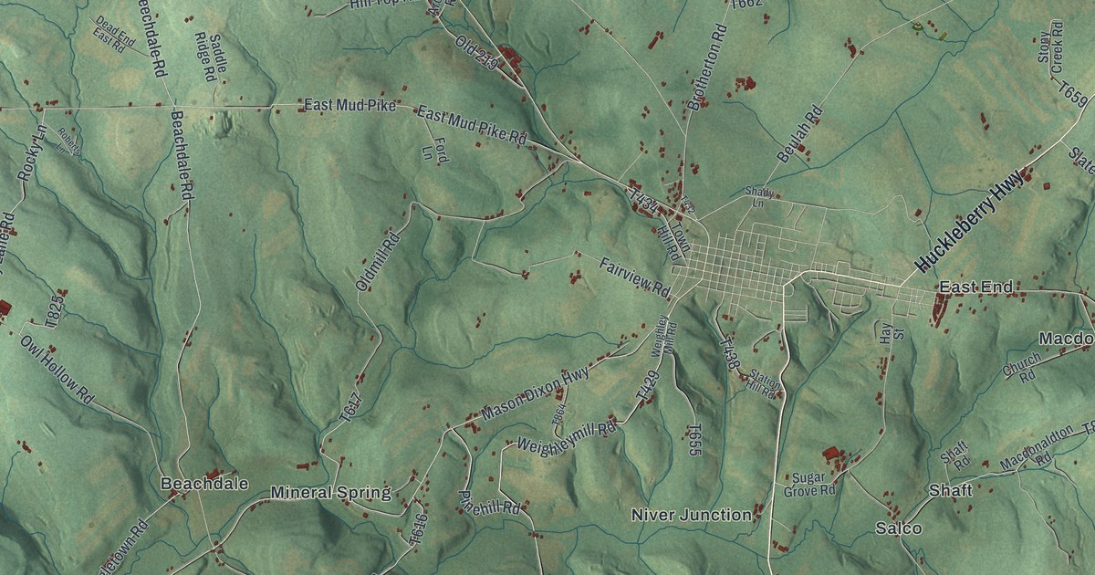
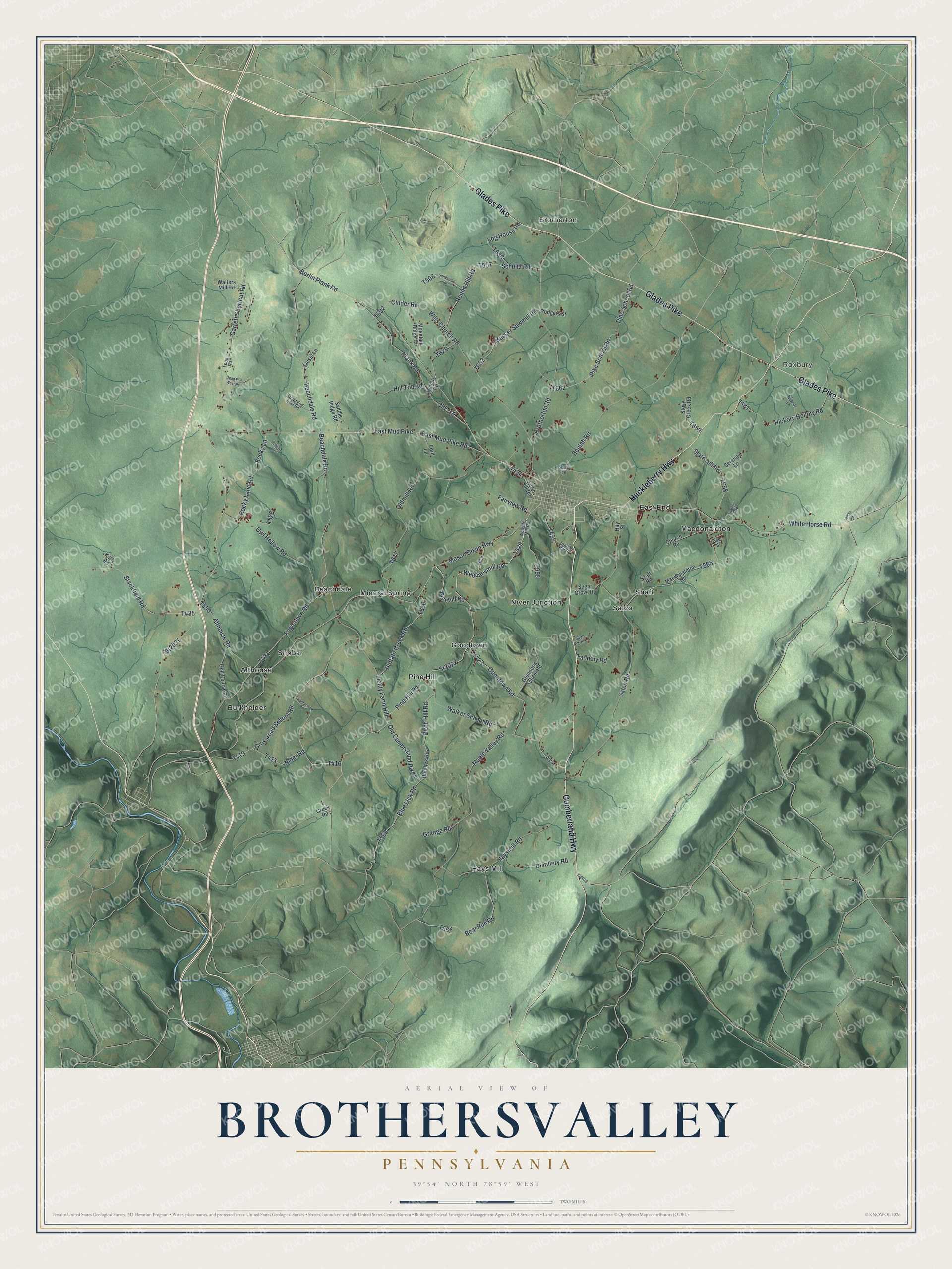
This beautifully detailed map of Brothersvalley, Pennsylvania was created in 2026 using aerial imagery combined with modern topographical, census, street and landmark data. It's a modern aerial view of Brothersvalley in Somerset County, Pennsylvania, that combines modern data with a vintage aesthetic. The roads feature printed names, and if you look closely you can find your exact house accurately shown in its correct location.
Explore an aerial view of Brothersvalley, Pennsylvania
On this map you'll find Roxbury, Brotherton, Althouse, Beachdale, Burkhelder, East End, Goodtown, Hays Mill, Macdonaldton, Mineral Spring, Niver Junction, Pine Hill, and more. Each red shape is a building, so zoom in on the preview and look for yours.
Brothersvalley has a story worth telling. The History of Bedford Somerset and Fulton puts it this way: "It then included all of the present county of Somerset which is situated west of the Allegheny mountain, and extended northward into the present county of Cambria."
Brothersvalley is a place in Somerset County. The Census Bureau counted 2,379 people here in 2020.
Take a closer look at the Brothersvalley map
Names on this map
These names are printed on this map.
Places: Roxbury, Brotherton, Althouse, Beachdale, Burkhelder, East End, Goodtown, Hays Mill, Macdonaldton, Mineral Spring, Niver Junction, Pine Hill, Salco, Shaft and Shober.
Streets and roads: Cumberland Highway, Glades Pike, Huckleberry Highway, Mason Dixon Highway, Berlin Plank Road, Weighleymill Road, Pinehill Road, Pine Hill Road, Sr2027, Brotherton Road, Oldmill Road, Fogletown Road.
More street names, A to Z
Althouse Road, Archery Road, Beachdale Road, Bear Run Road, Beechdale Road, Beulah Road, Birch Hill Road, Blackfield Road, Blue Lick Road, Bluelick Road, Buffalo Creek Road, Charcoal Road, Church Road, Cinder Road, Creek Road, Crossroad School Road, Dead End East Road, Dead End West Road, Distillery Road, East Mud Pike, East Mud Pike Road, Fairview Road, Ford Lane, Garrett Shortcut Road, Glennoris School Road, Golf Course Road, Goodtown Road, Grange Road, Haysmill Road, Hay Street, Hickory Hollow Road, Hill Top Road, Kelly Road, Landis Road, Lichty Farm Hill, Liesel Lane, Log House Road, Loop Road, Macdonaldton Road, Maple Valley Road, Mountain Ridge Court, Musser Sawmill Road, Nascar Lane, Nider Road, Old 219, Old Cumberland Pike, Owl Hollow Road, Pike School Road, Pine School Road, Plank Road, Roberts Lane, Rocky Lane, Rocky Lane Road, Rodgers Street, Round Hill Road, Saddle Ridge Road, Salco Road, Sandstone Road, Schultz Road, Serenity Lane, Shady Lane, Shaft Road, Slate Hill Road, Sr2020, Sr2031, Stair Farm Lane, Station Hill Road, Stony Creek Road, Sugar Grove Road, Swampcreek Road, Tannery Road, Town Hill Road, Upper Street, Walker School Road, Walters Mill Road, Weighley Mill Road, White Horse Road, Wills Church Road.
See it on a wall
The Brothersvalley map as a framed print. Swipe for more.


Created by KNOWOL in 2026. The buildings are small red shapes, the roads carry their printed names, and shaded relief shows the shape of the land. The title panel reads "AERIAL VIEW OF BROTHERSVALLEY, PENNSYLVANIA" with 39°54' NORTH 78°59' WEST.
It looks right in a kitchen, an office or a den, and it's a gift for anyone who grew up in Brothersvalley or moved away. Open the preview and find your street. See sizes and frames for the Brothersvalley map.